Date: September 27 - 28, 2019
Location: Indian Peaks Wilderness Area
Distance: 19 miles
Elevation Change: 4800 feet up and 4800 back down
Group: Solo trip
For the last three weekends in a row I've had the opportunity to enjoy the Indian Peaks Wilderness area. I've seen some moose, had a fun trip with my wife and kids, and this weekend I had the chance to check out Lone Eagle Peak and Crater Lake area on a solo trip.
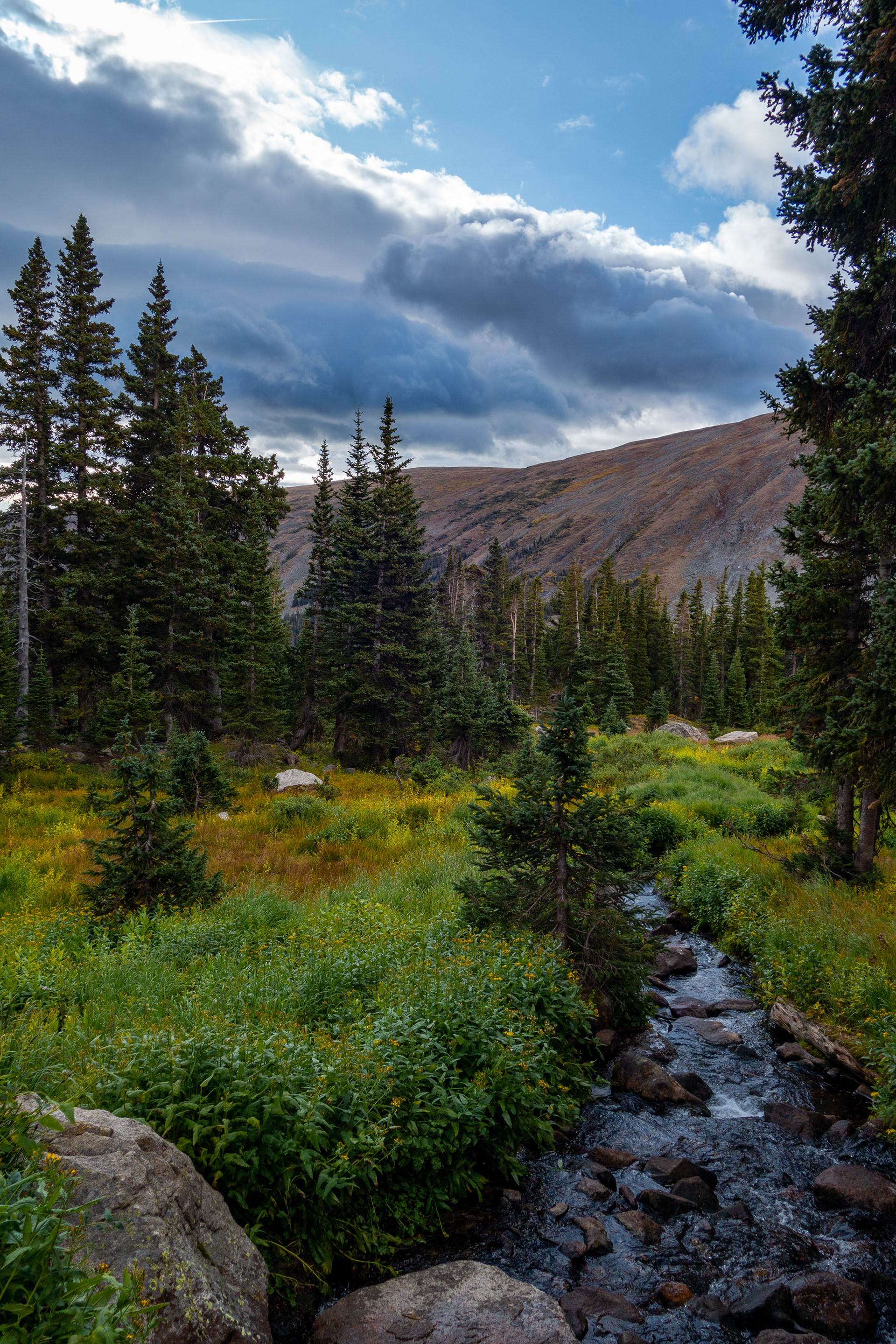
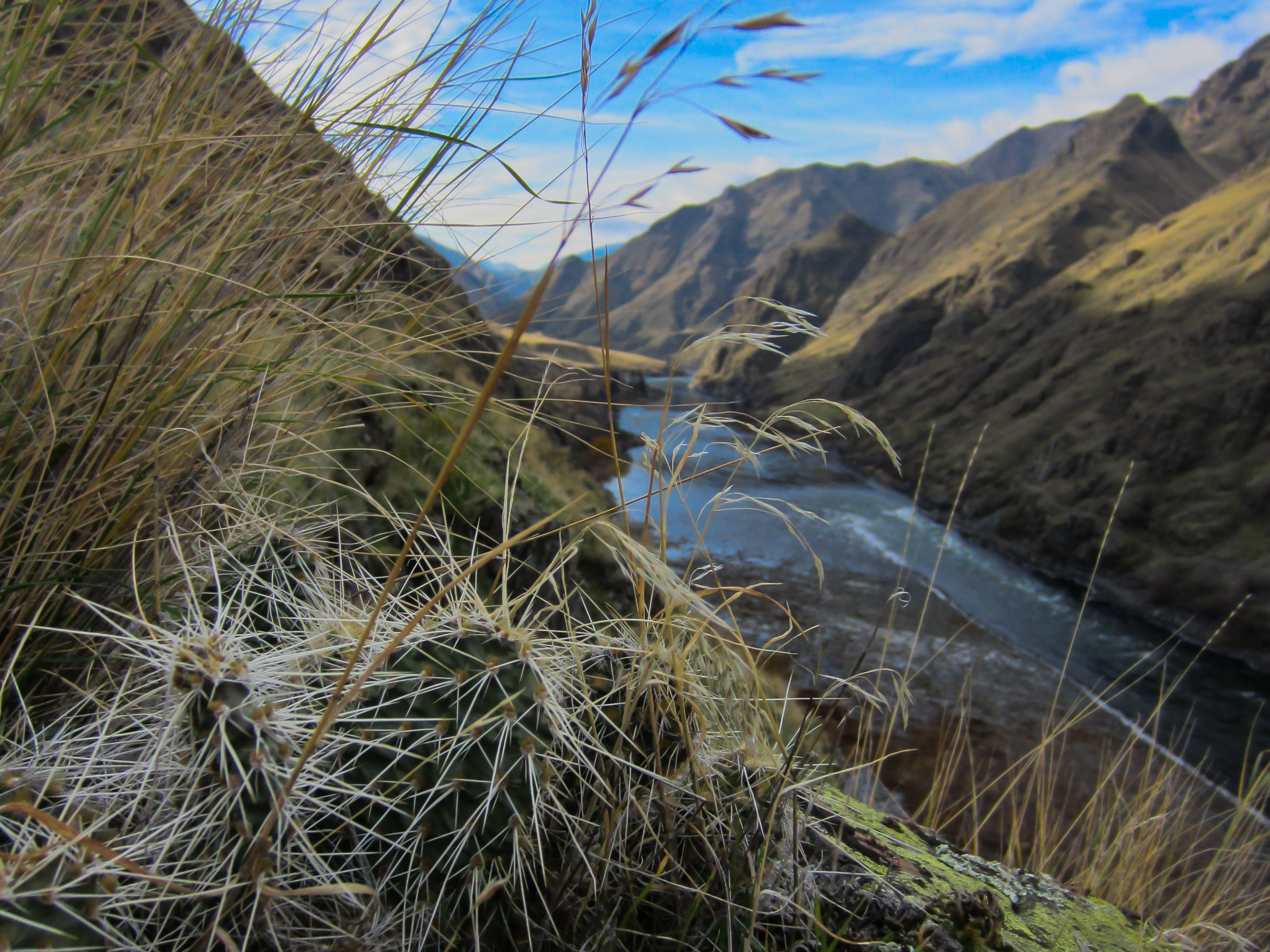
I saw a cow moose on the way up and enjoyed the vibrant fall colors. The trail abandons the trees at around 11,500 feet and ventures into the domain of the wind for the next few miles.
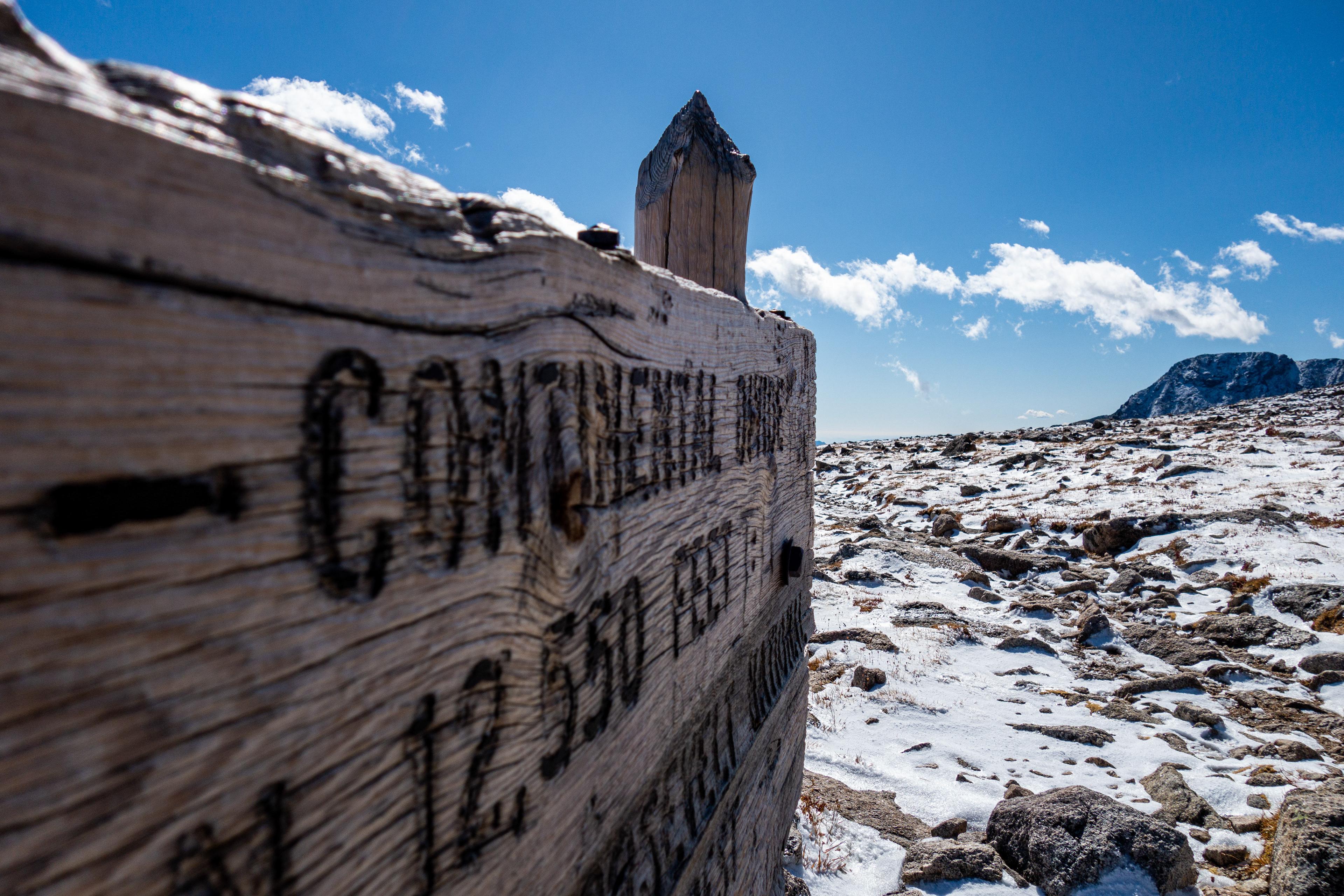
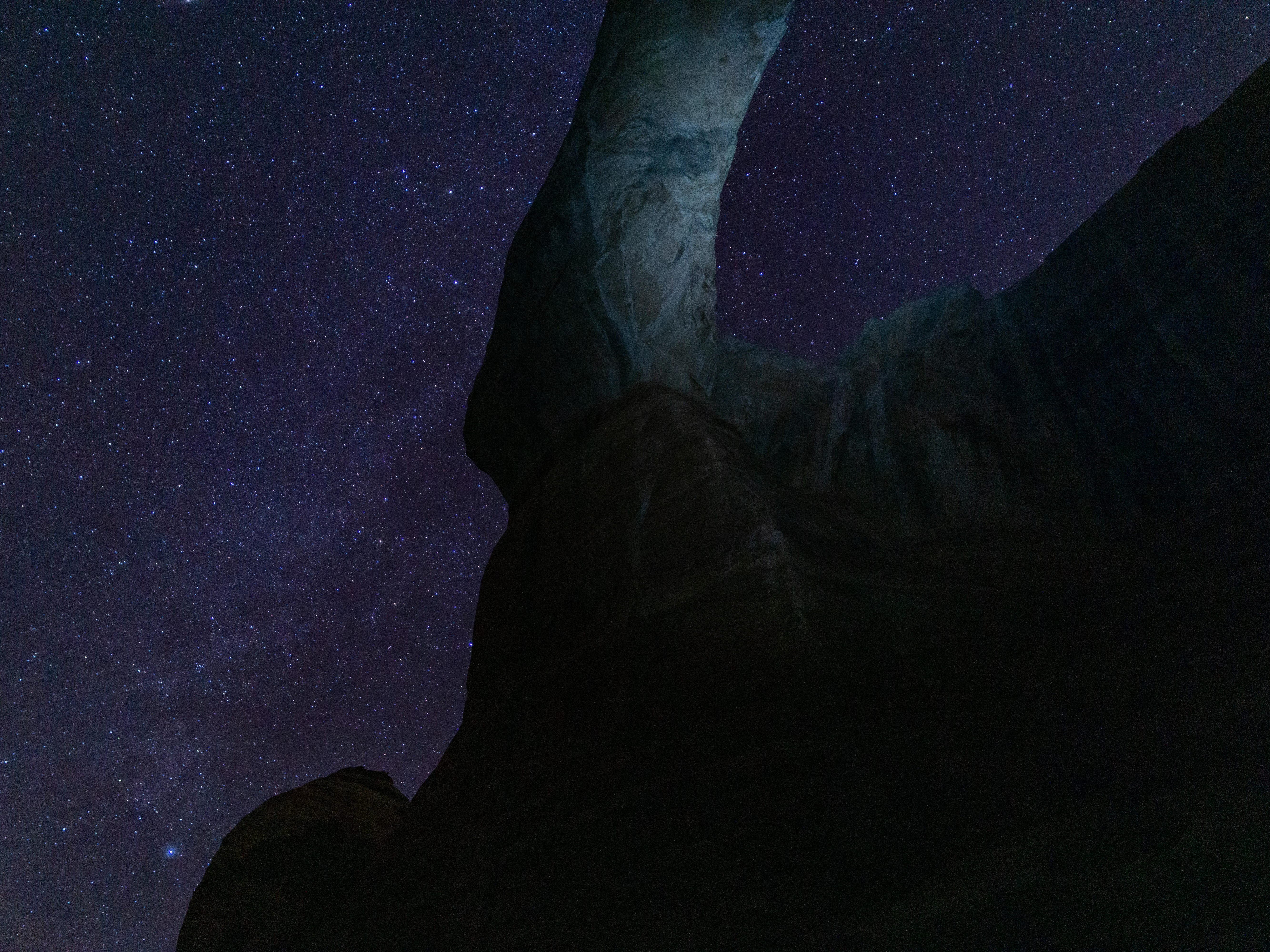
The hike over Pawnee Pass was the windiest I have ever experienced (been over it 4 or 5 times around this same time of year). I could lean forward and let the wind hold me up. I decided to vote my Montbell Tachyon anorak (wind shirt) the gear of the day.
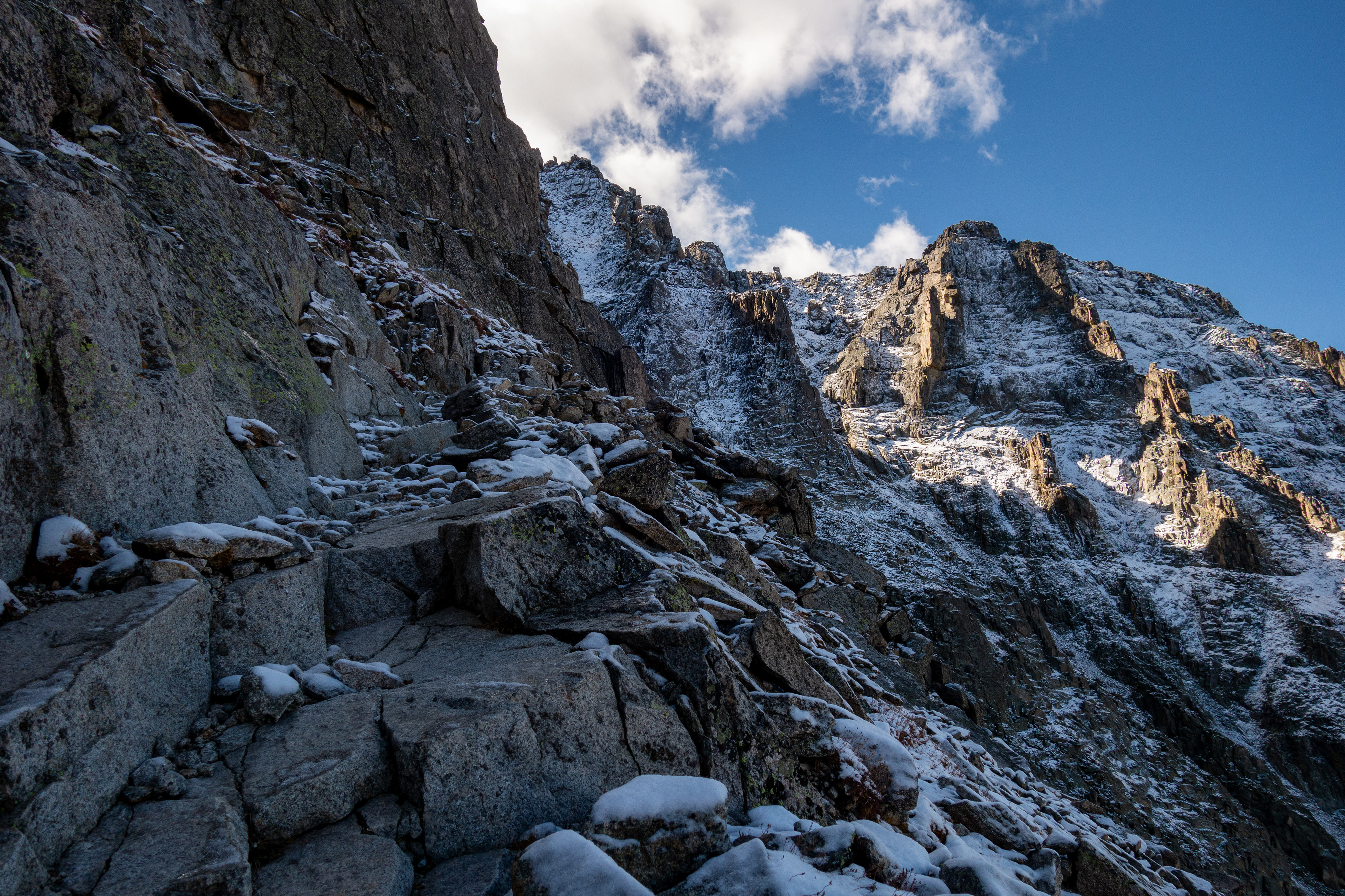
The west side of Pawnee Pass is sketchy for a bit. Several small slides appear to be the trail in some places and the talus easily shifts as you work your way down it. Fortunately, that only lasts for a hundred yards or so until you are back on a more established path (see below)
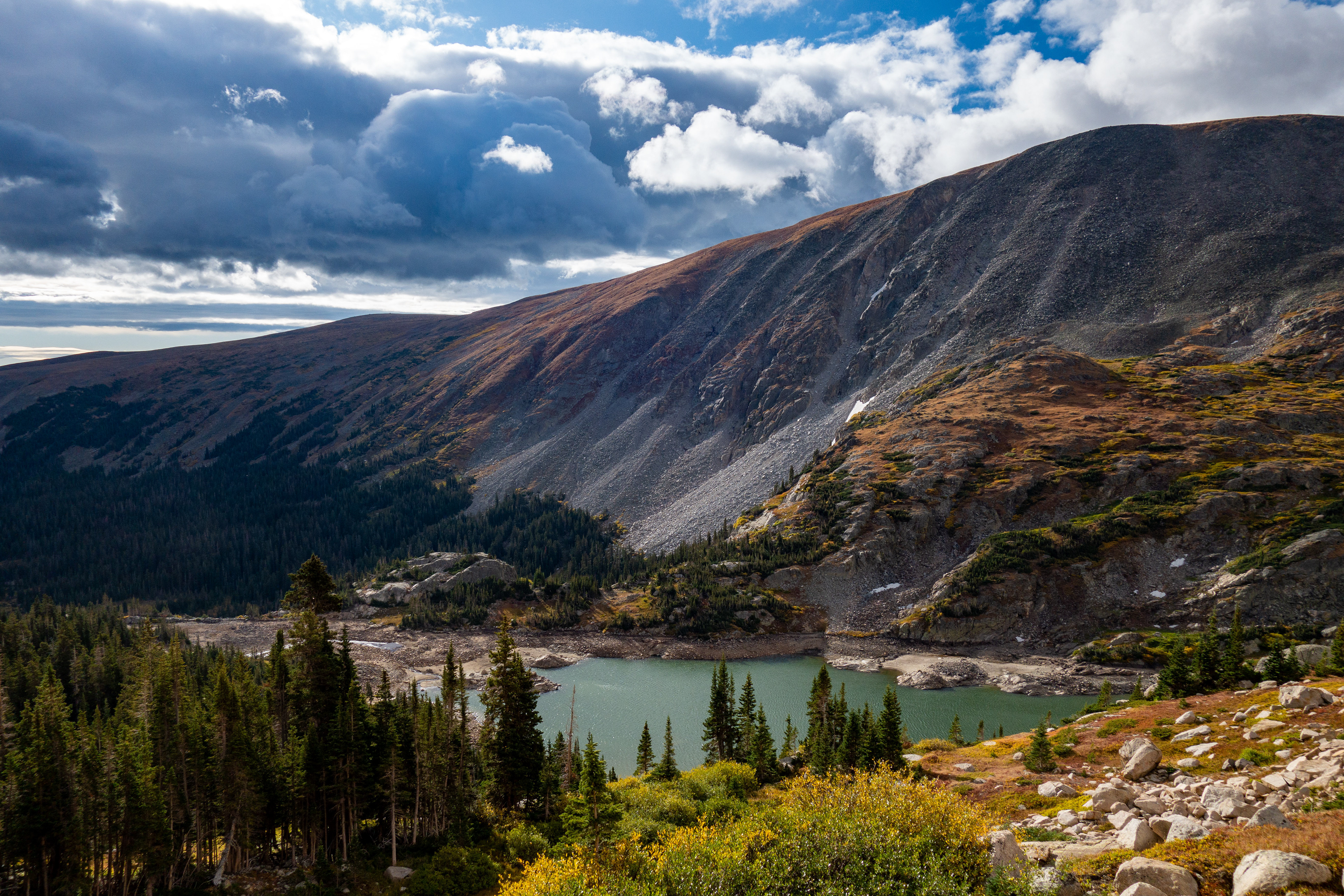
The Rocky Path Down
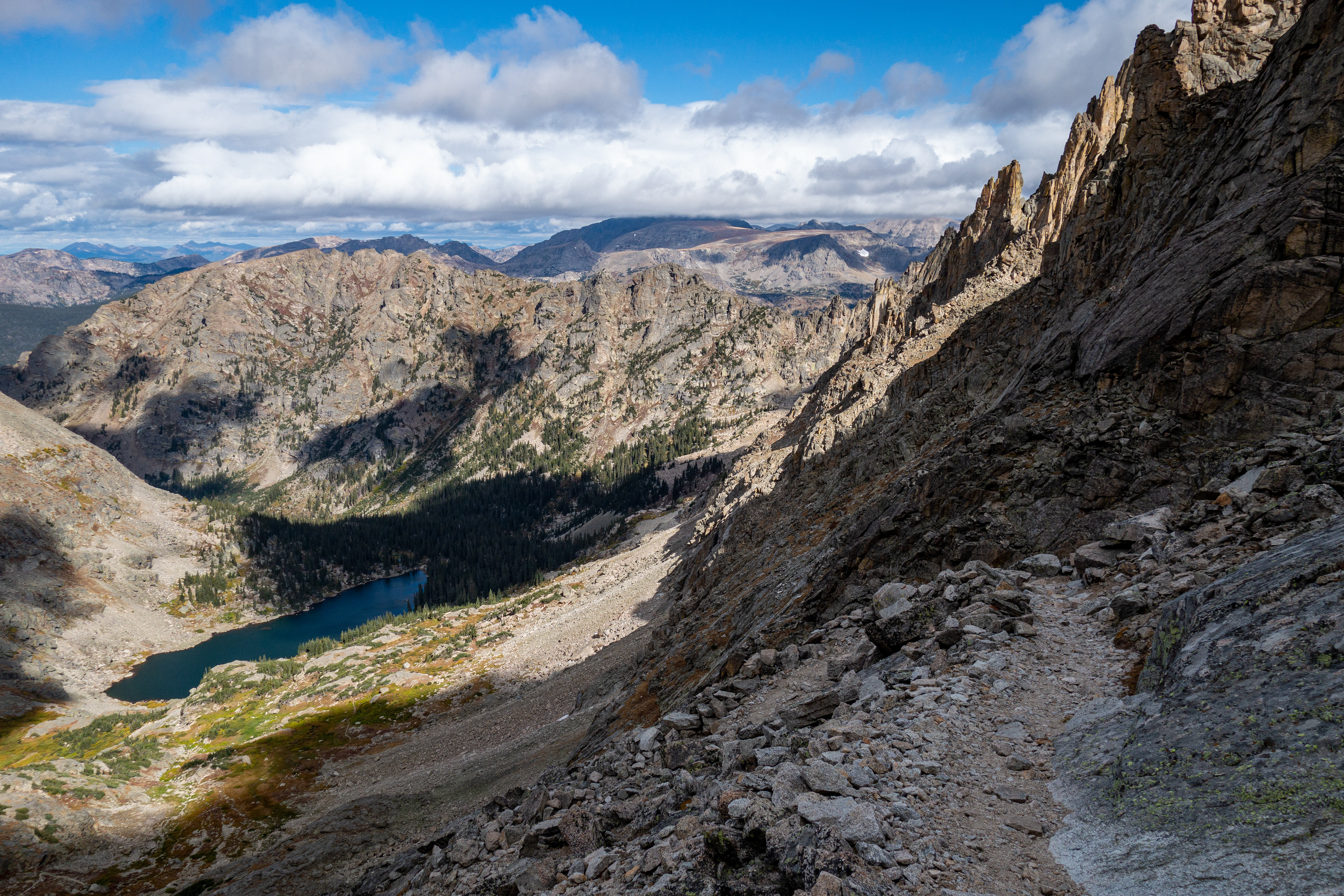
Pawnee Lake at the bottom and the path on the right
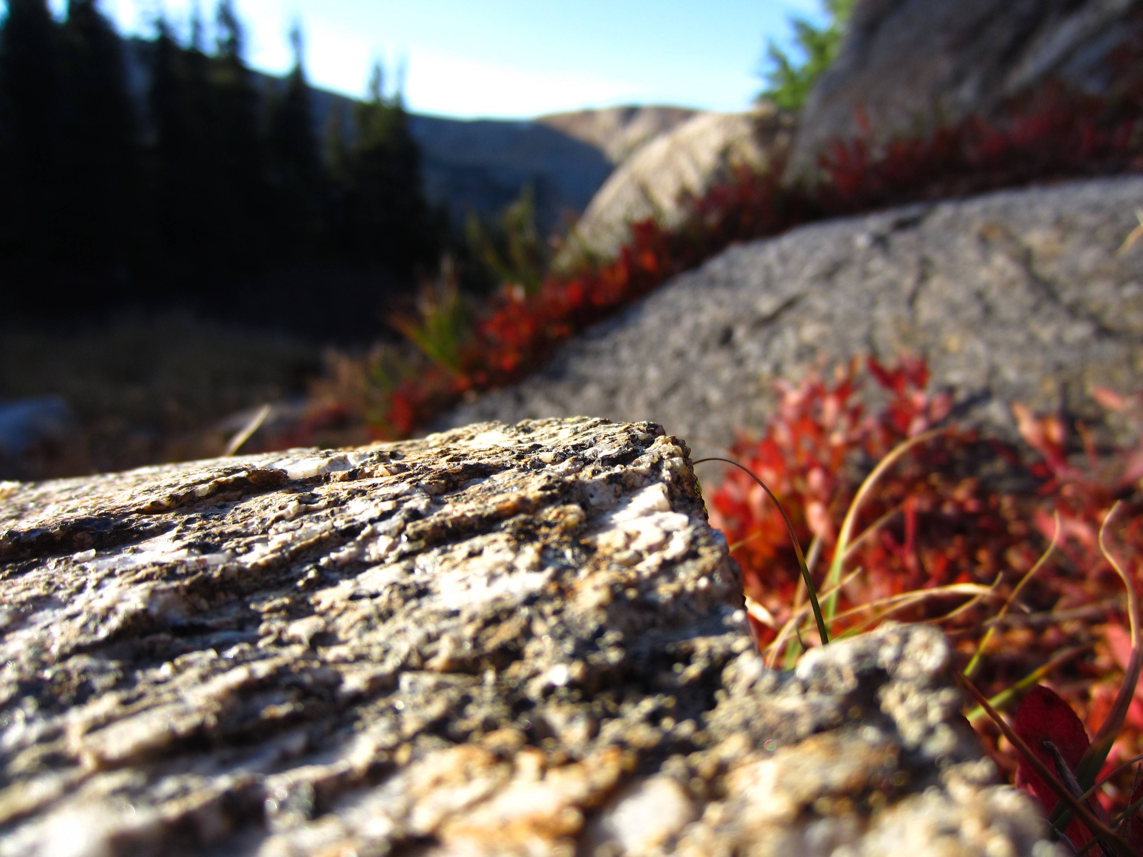
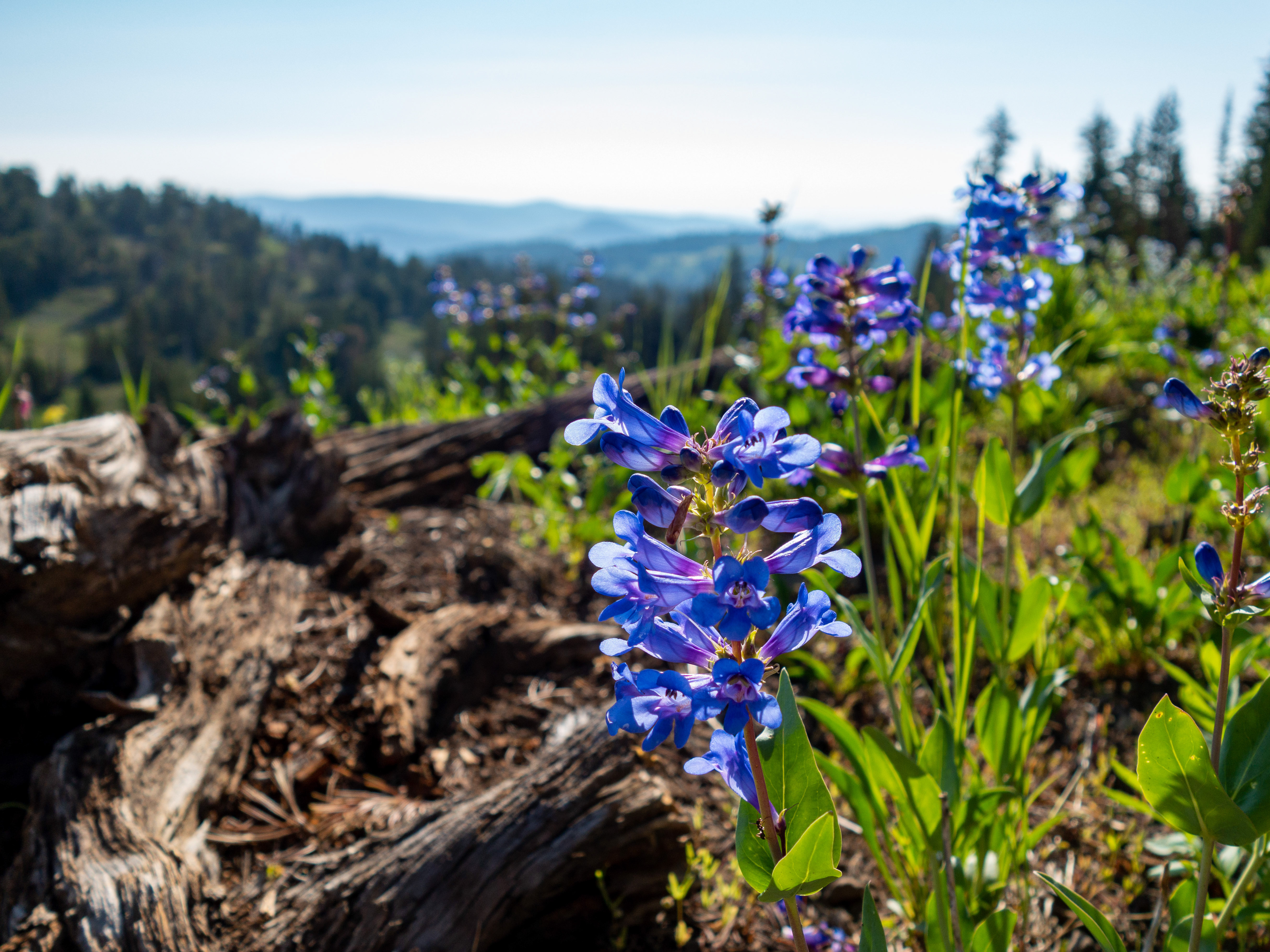
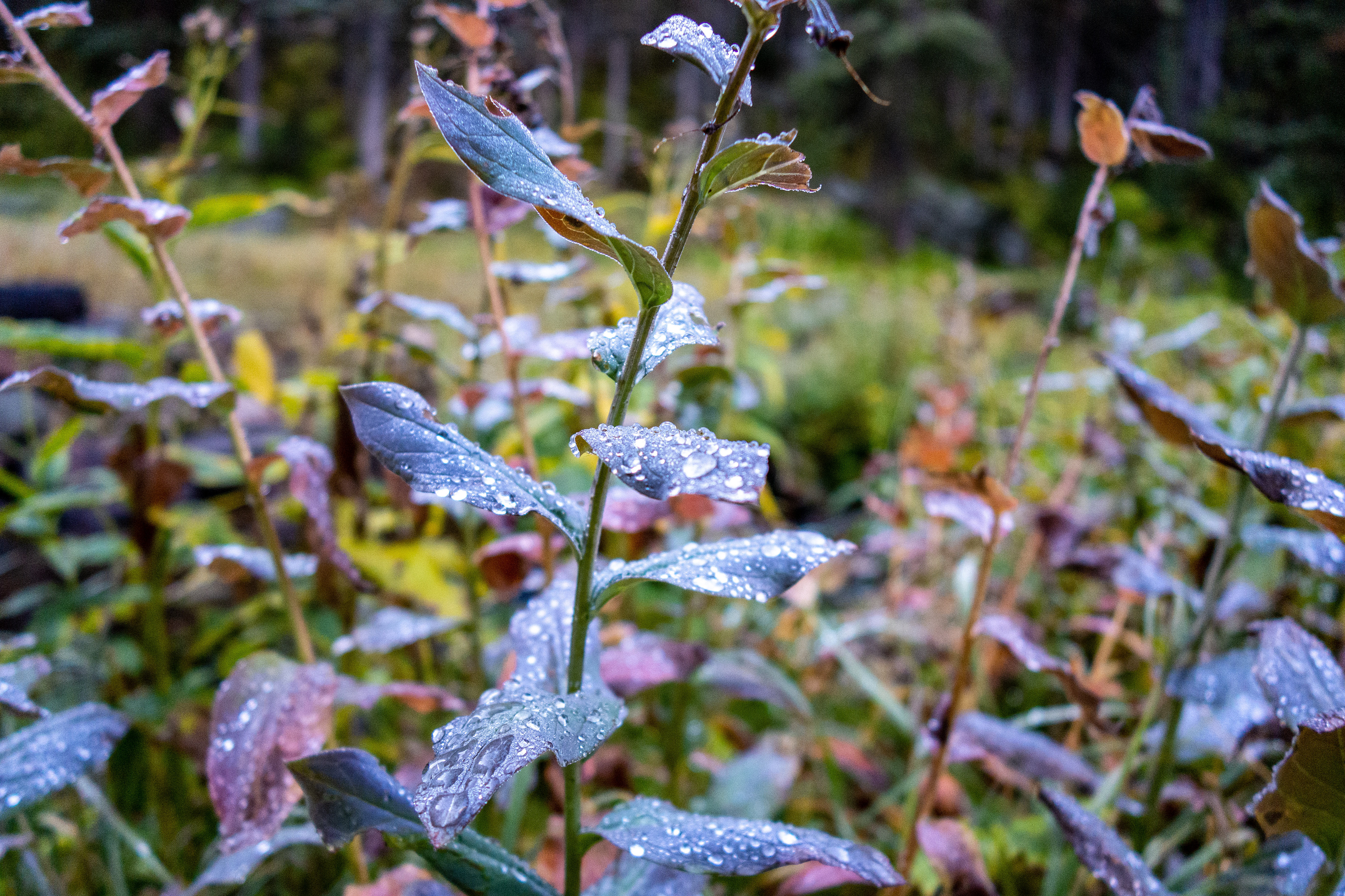
Some flowers (that had seen warmer days) and some falls foliage added to the appeal of the area.


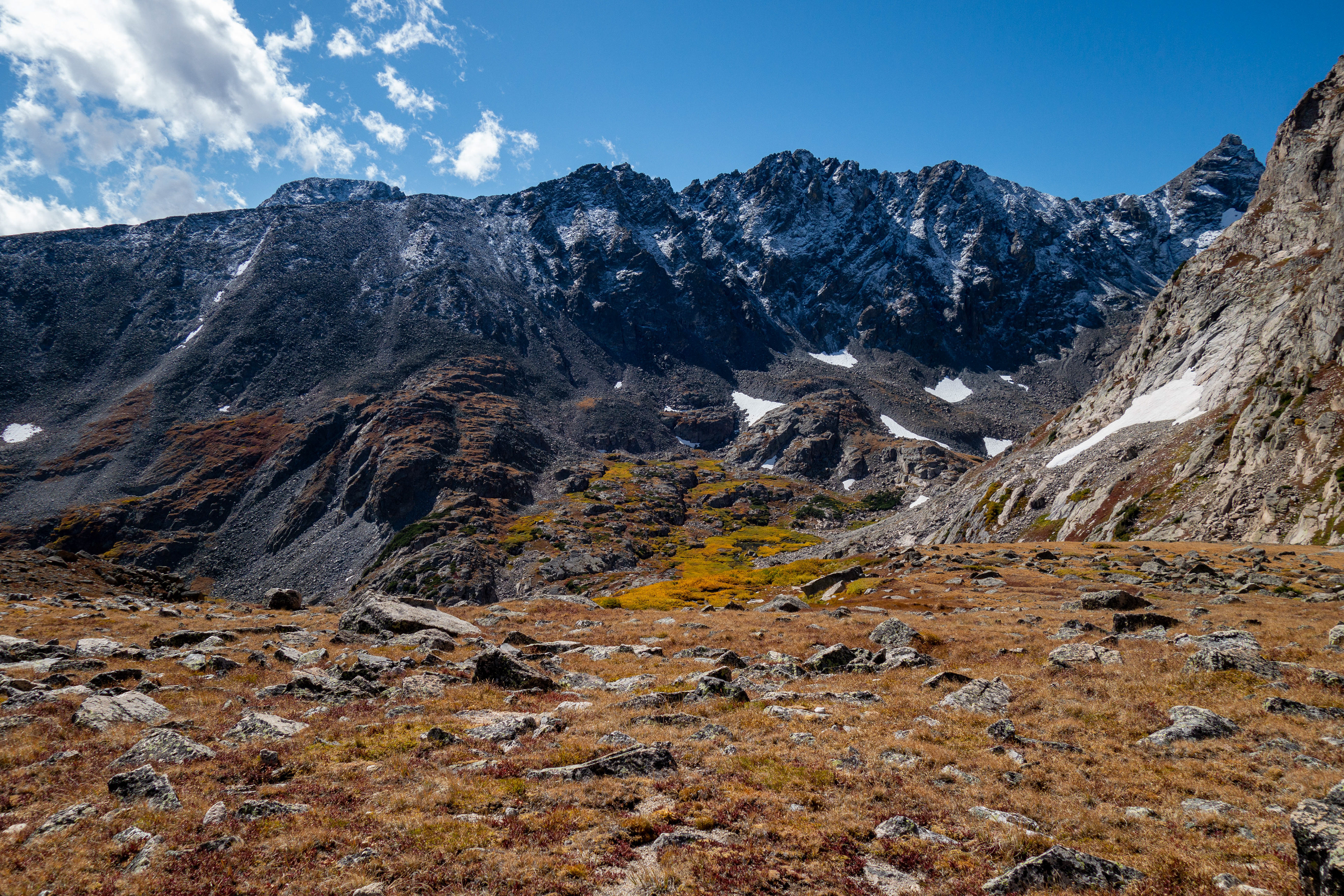
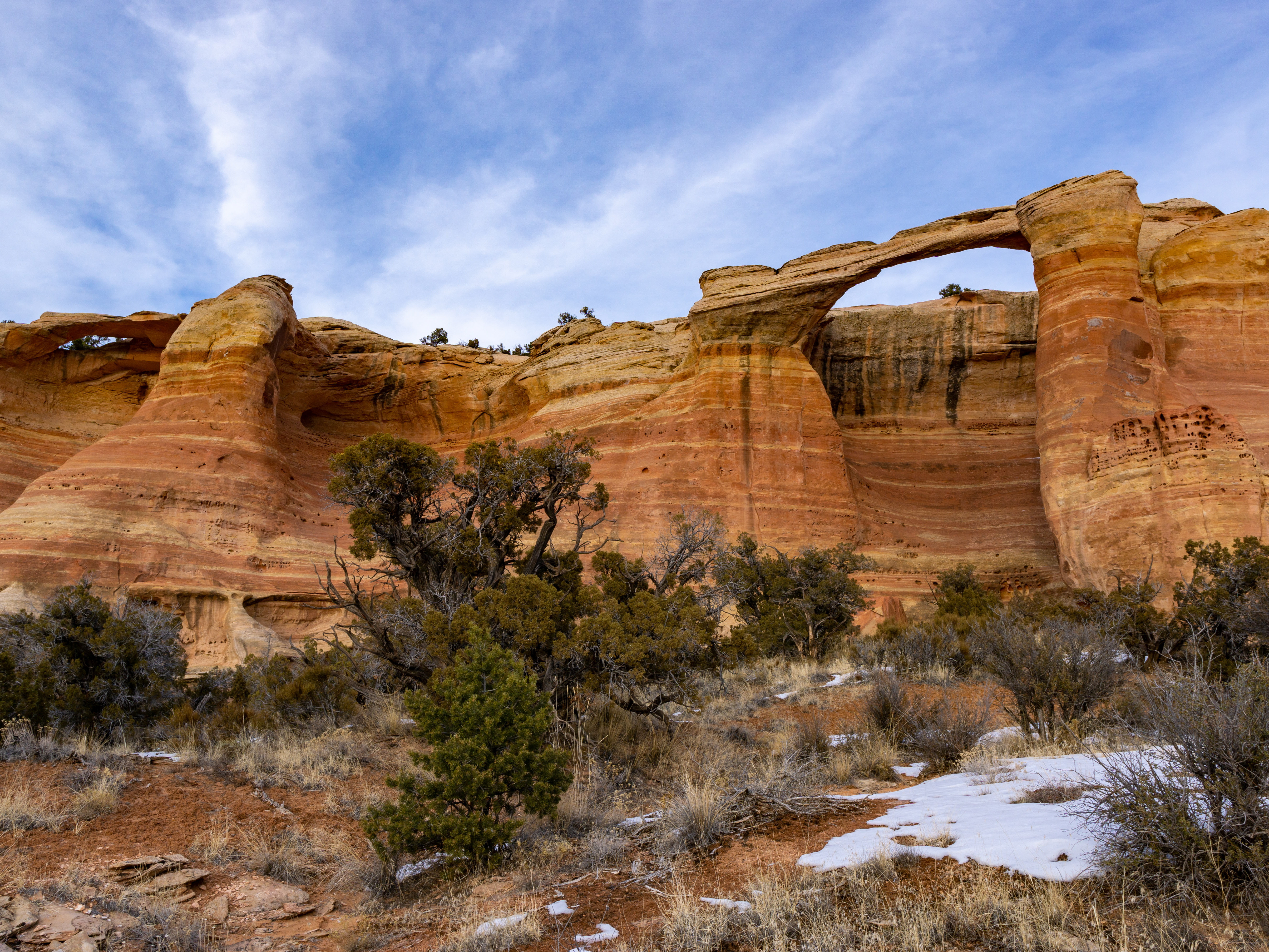
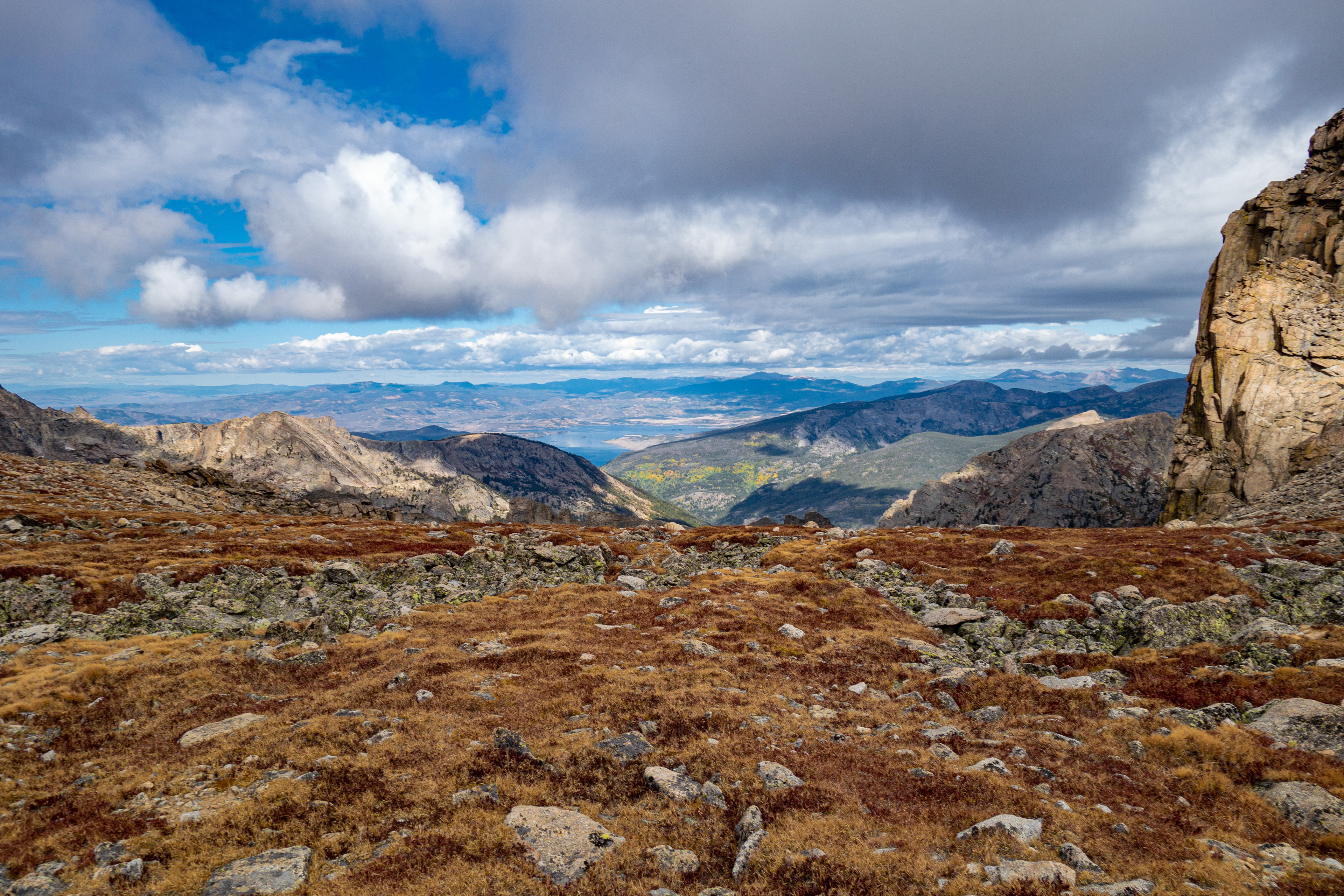
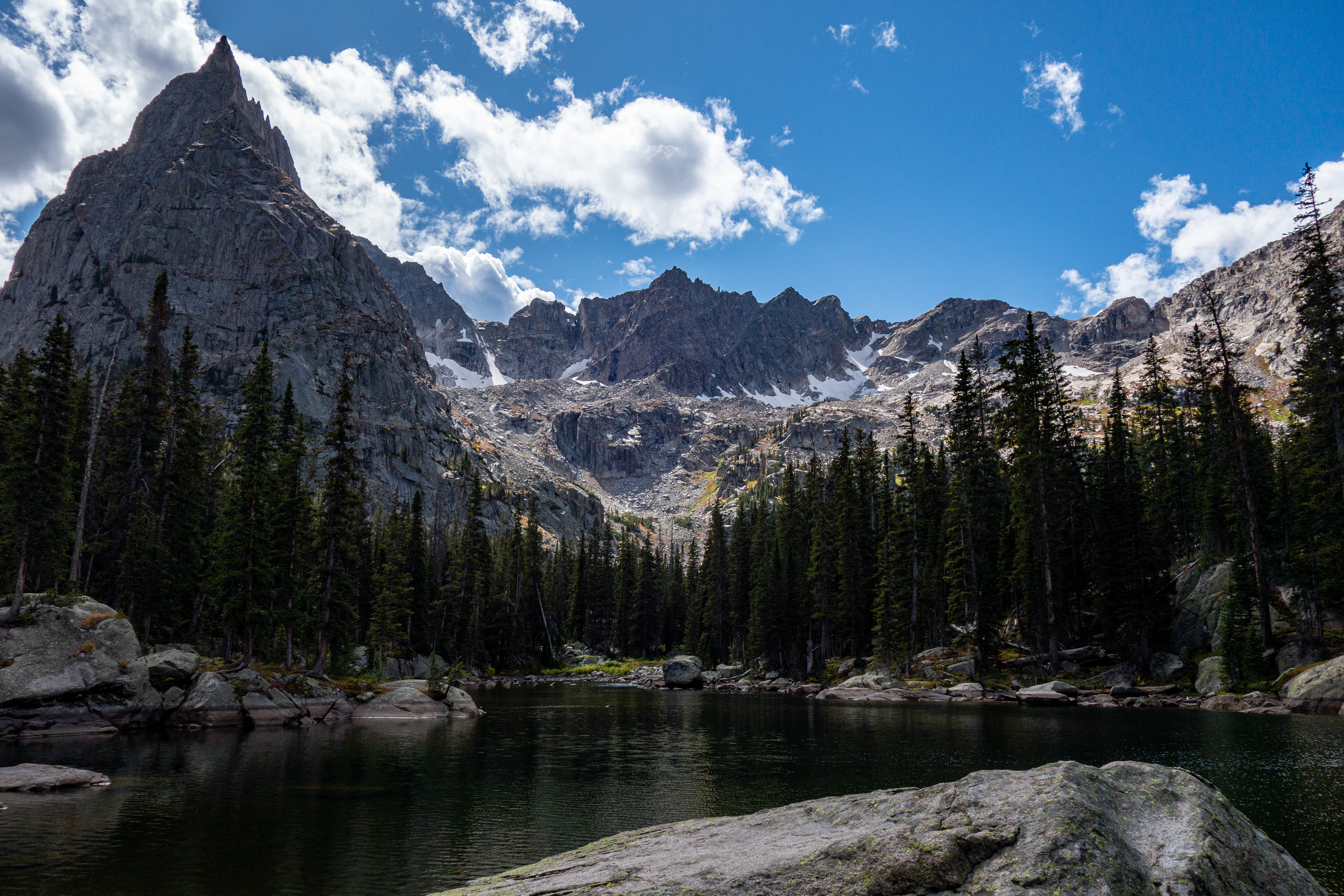
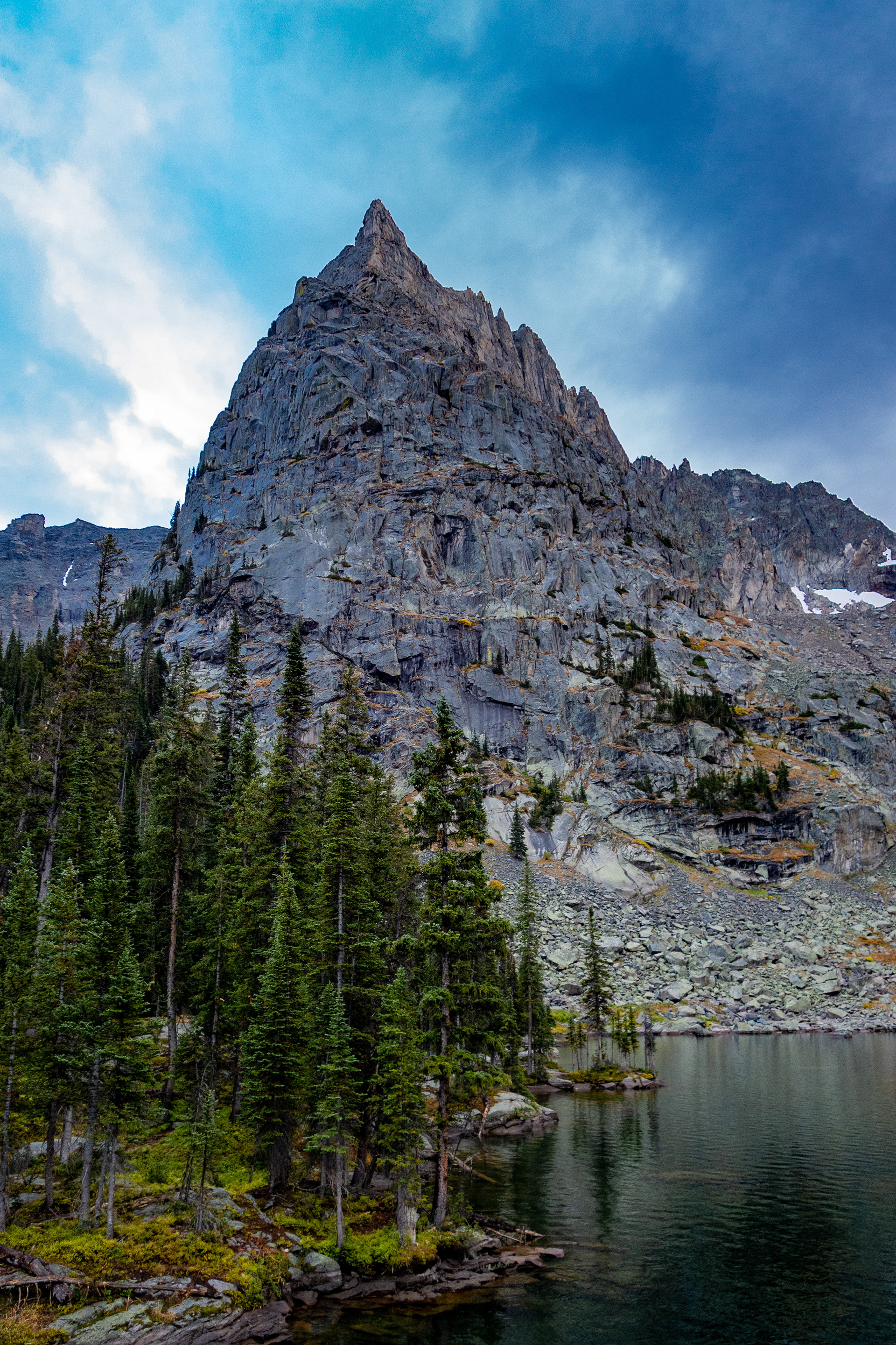
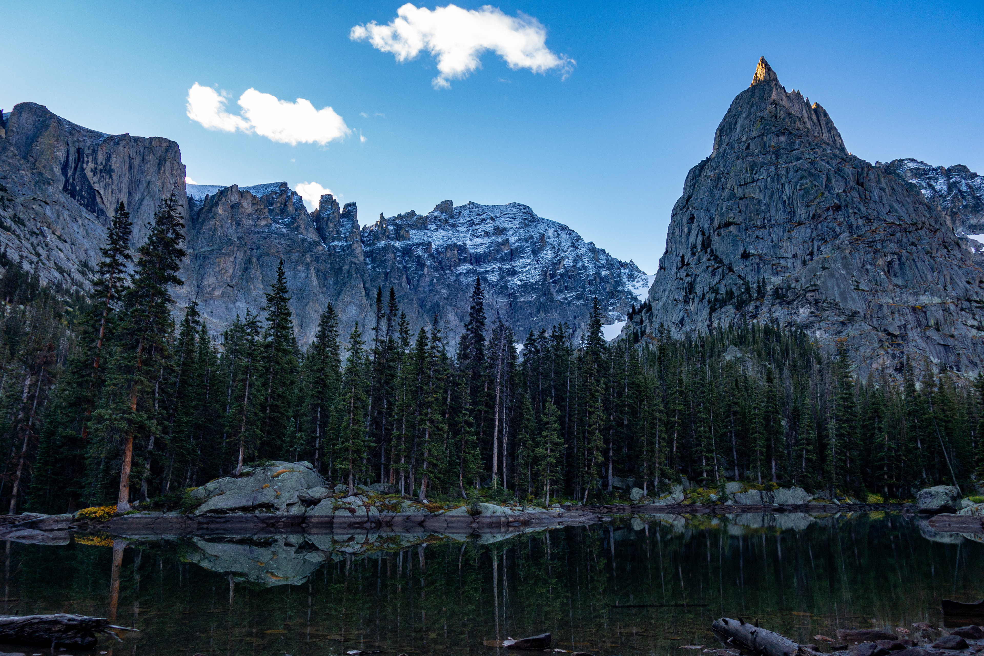
Soon the peaks that make this area so beautiful (Cherokee, Achonee, Hopi, and Lone Eagle) came into view.


Lone Eagle Peak looms over Mirror Lake, which connects to Crater Lake.
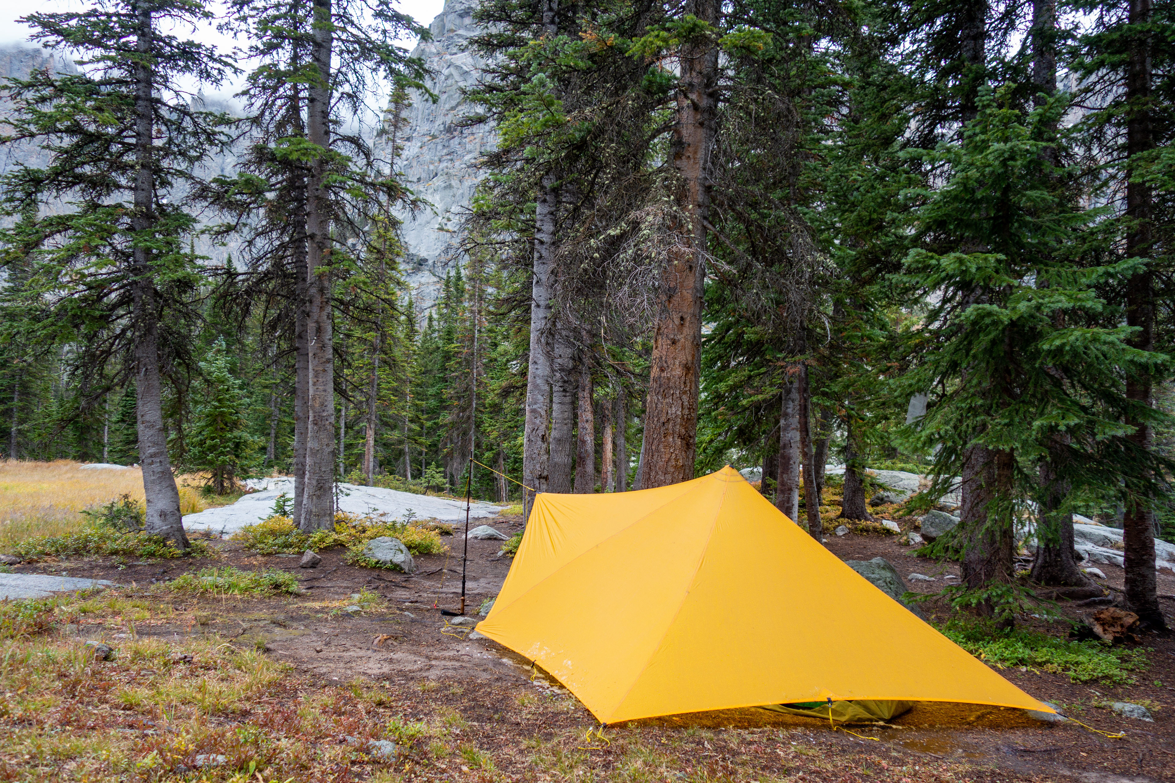
Unfortunately, the weather took a turn for the worse and the rest of the afternoon was full of rain and hail. Fortunately, I had planned for this and enjoyed some reading from under the shelter of the Trailstar. Things got even more exciting that evening as constant rain poured down and snow began to fall on the peaks. I revised my vote for gear of the day/night to the Trailstar.
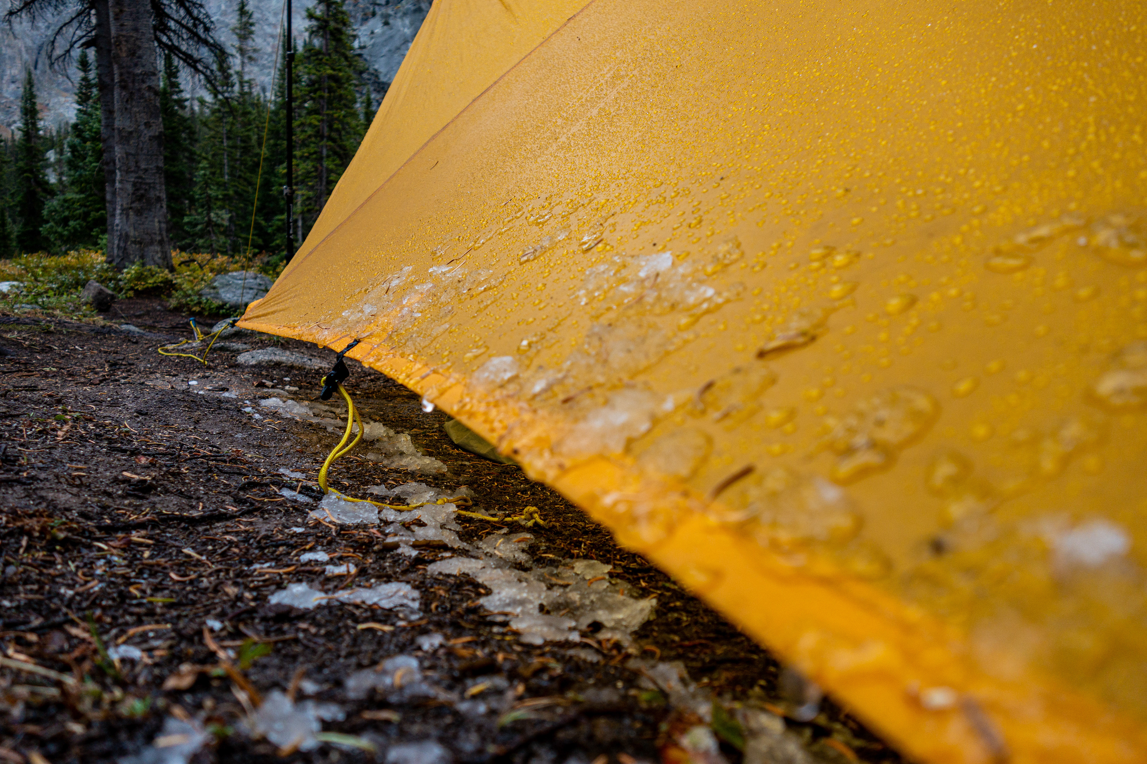
Happily, the rain stopped sometime in the night and the sun came up on a soggy landscape.
The hike out was wet. The vegetation on the side of the trail was dripping and soon I was too from the knees down.
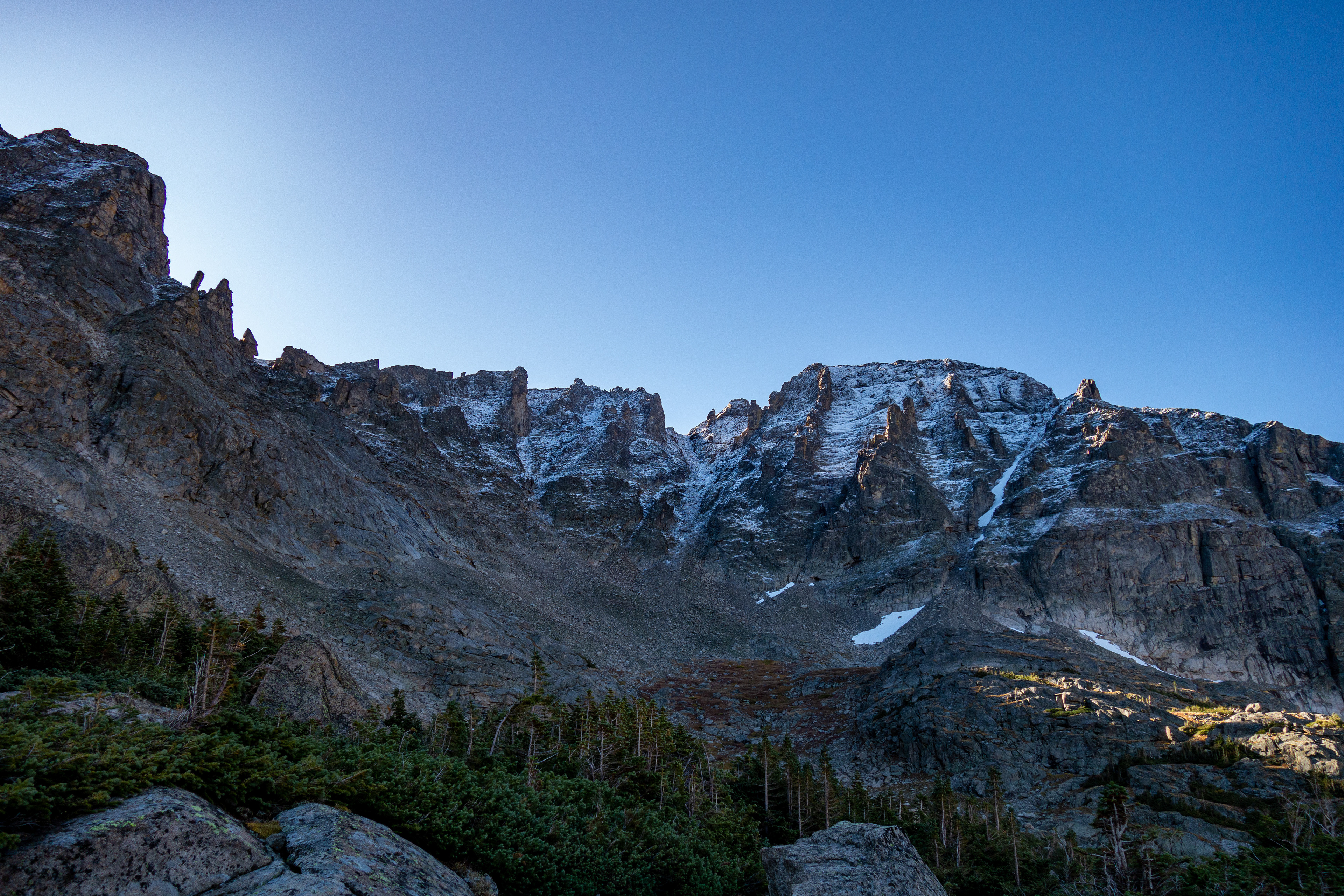
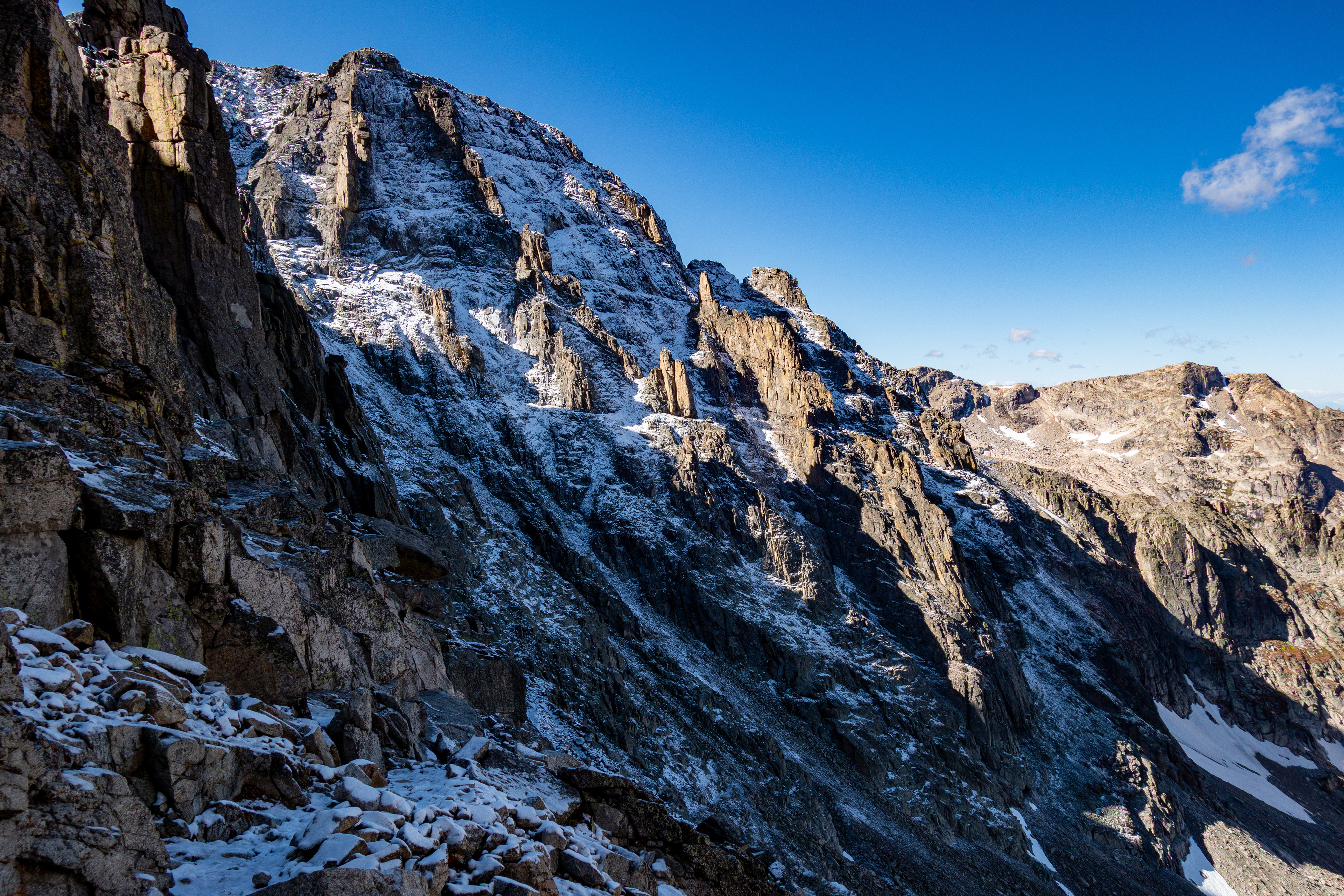
Eventually, the water on plants turned to snow and ice on rocks as I began the climb back over Pawnee Pass.
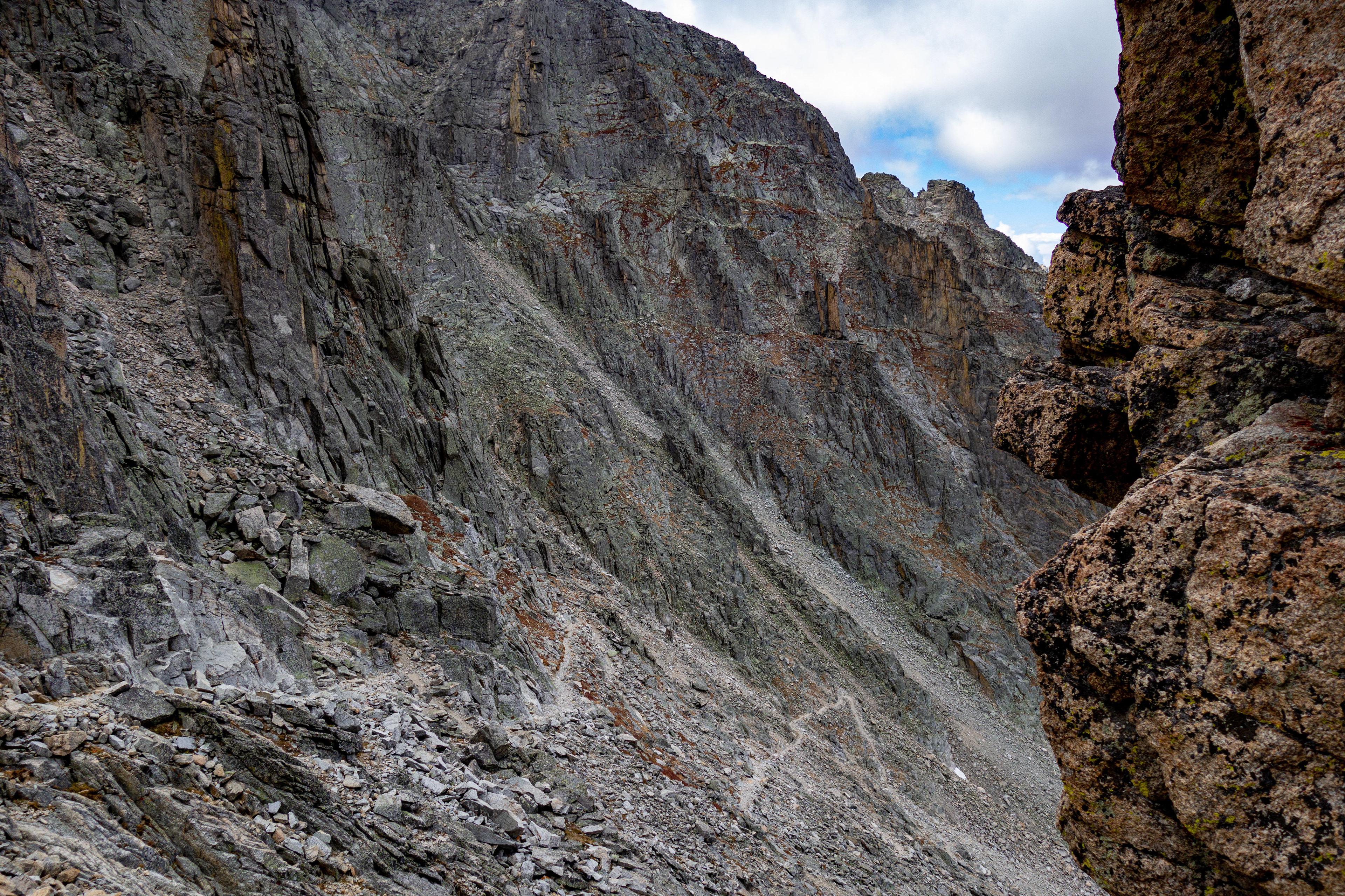
Path is on the lower left of the photo.
Look closely in the image below for two people and a dog (lower center). Gives you a better feel for the scale of the area.
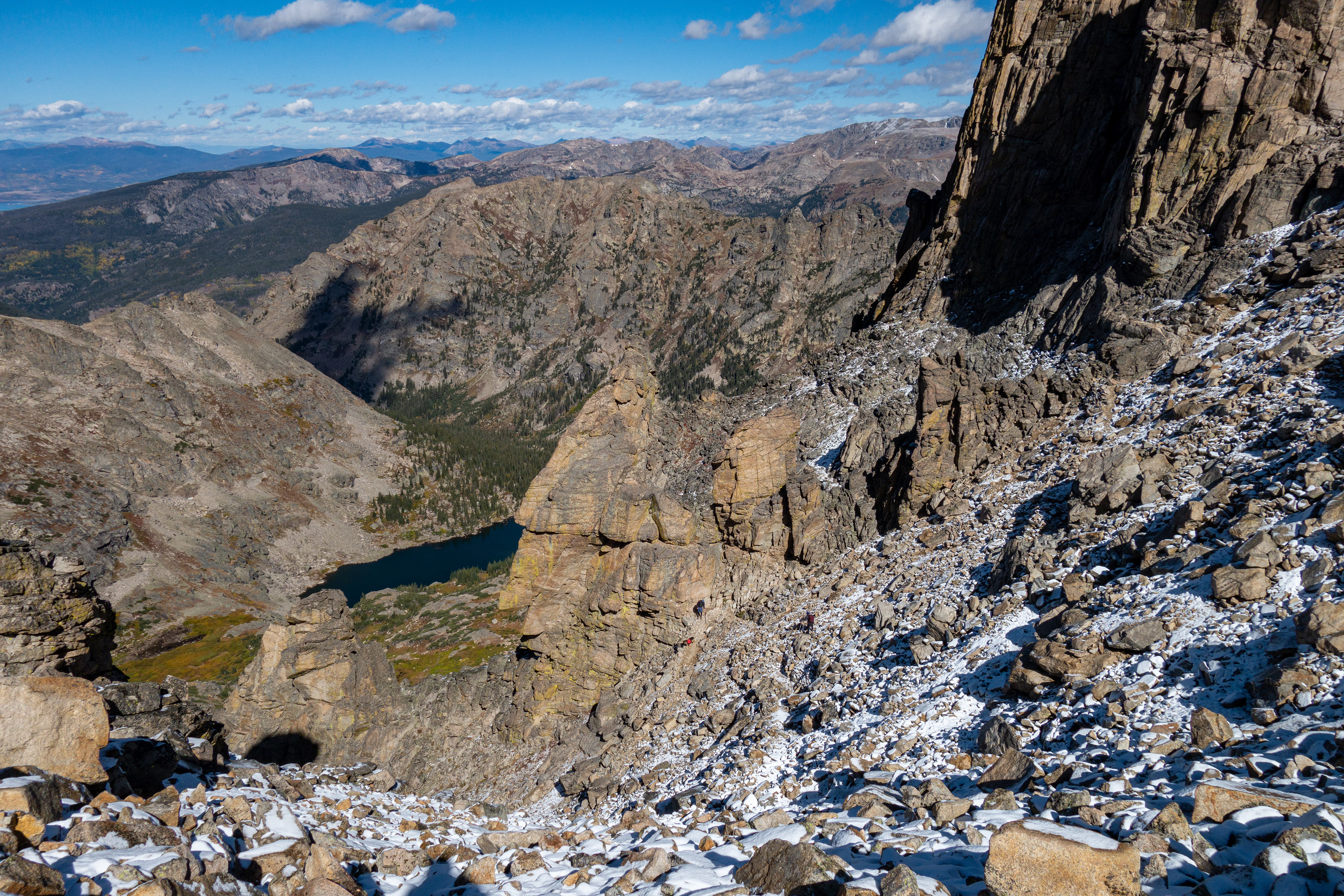
After a bit of a slog and some slipping around, I reached the summit and enjoyed the warmer (sunny side of the pass) hike back down.