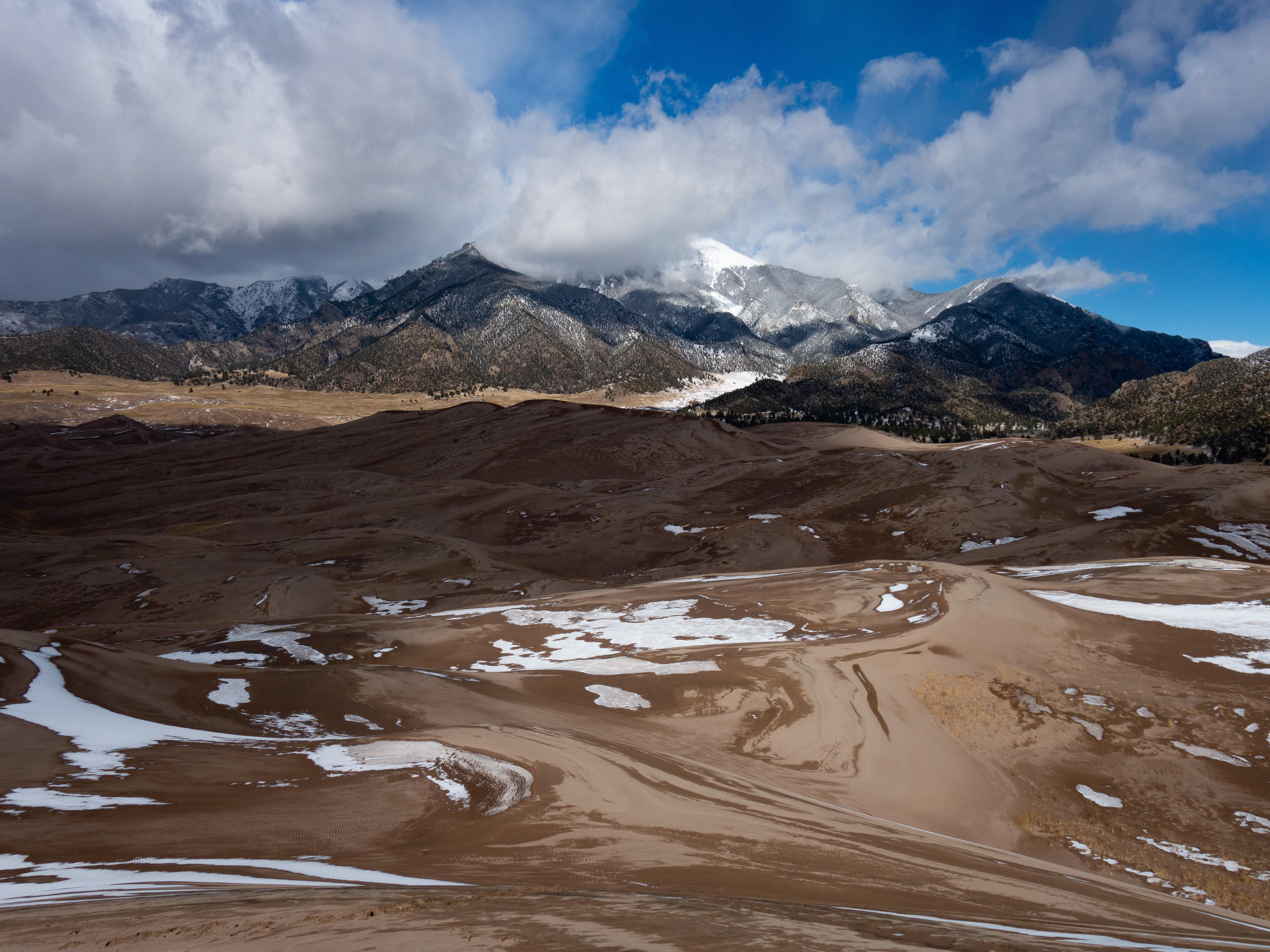
Date: July 28, 2019
Location: Near Mount Naomi Wilderness, Utah
Distance: 17 miles +/-
Elevation Change: 3500 feet up and 3500 back down
Group: Shane and Mat
We accessed this area via a trailhead a short distance up Franklin Basin Road from Hwy 89. I'd hiked past Doubletop a couple years ago and wanted to find a way to revisit that same area via a shorter route than the 29 mile route from last time. We started hiking around 6:15 or so, just as the sun was starting to come up.
We took the Steam Mill Lake trail, which was an easy to follow and apparently frequently traveled (mostly on the first 4 miles or so) trail.

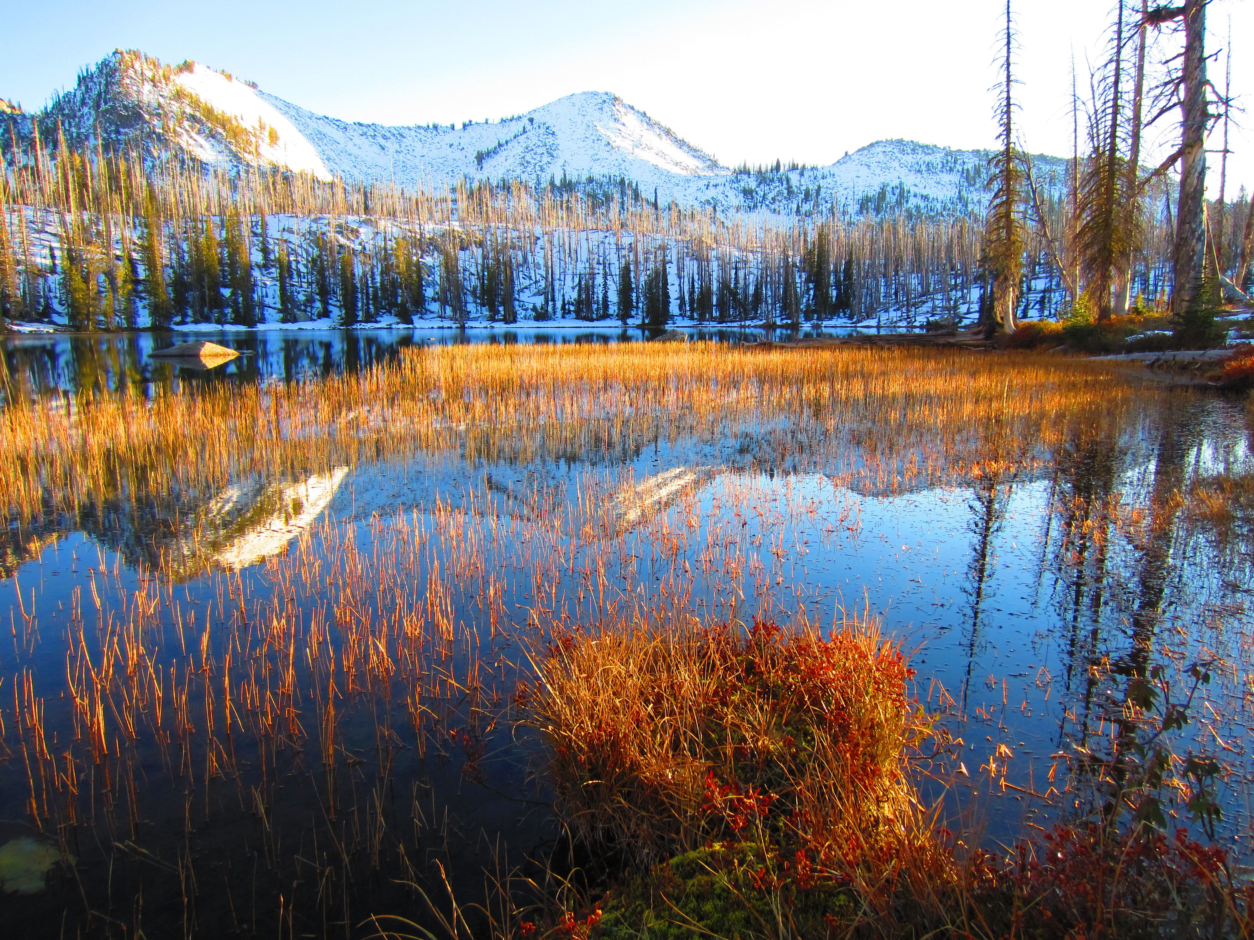
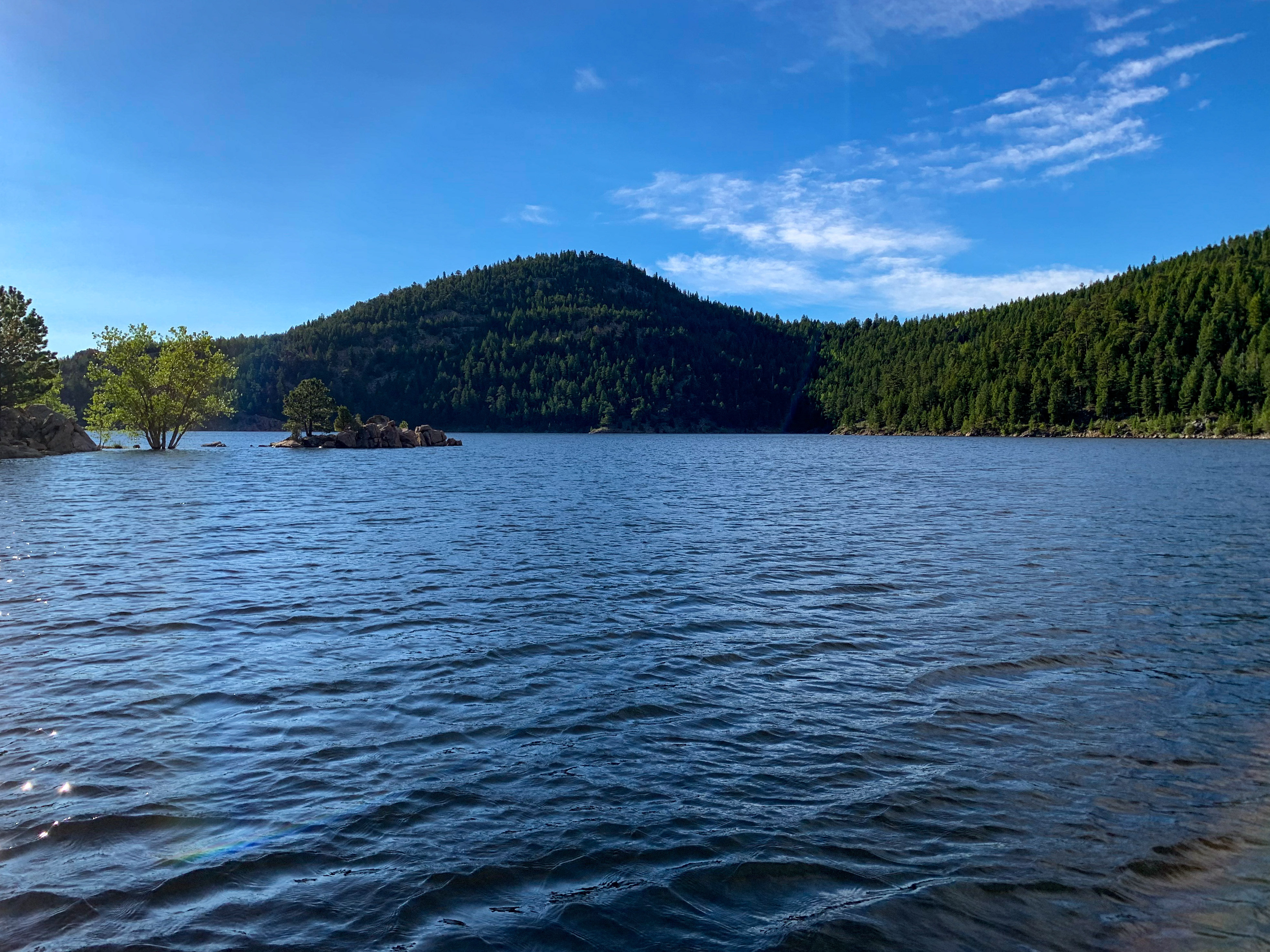
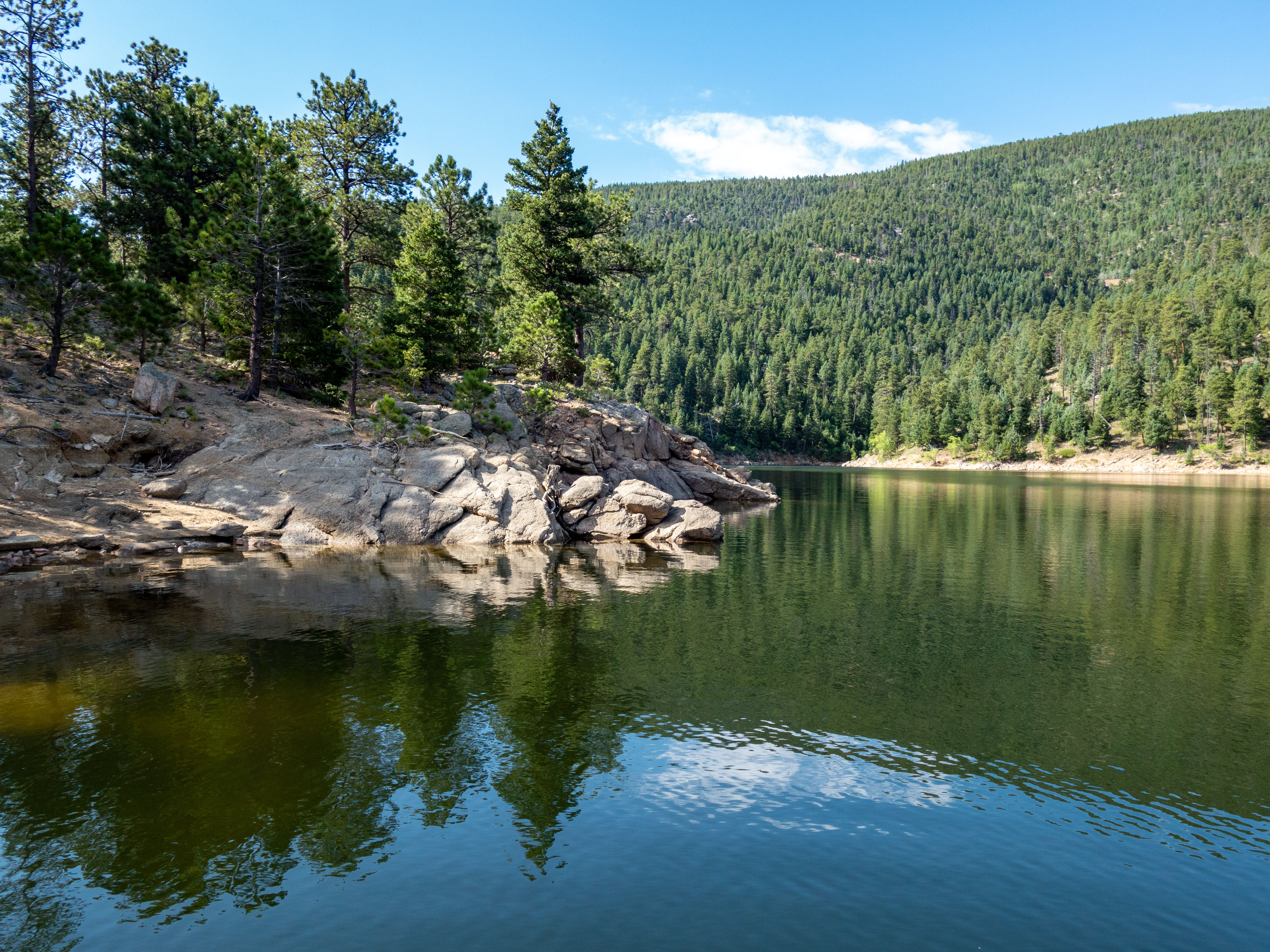
We made a quick stop at Steam Mill Lake.
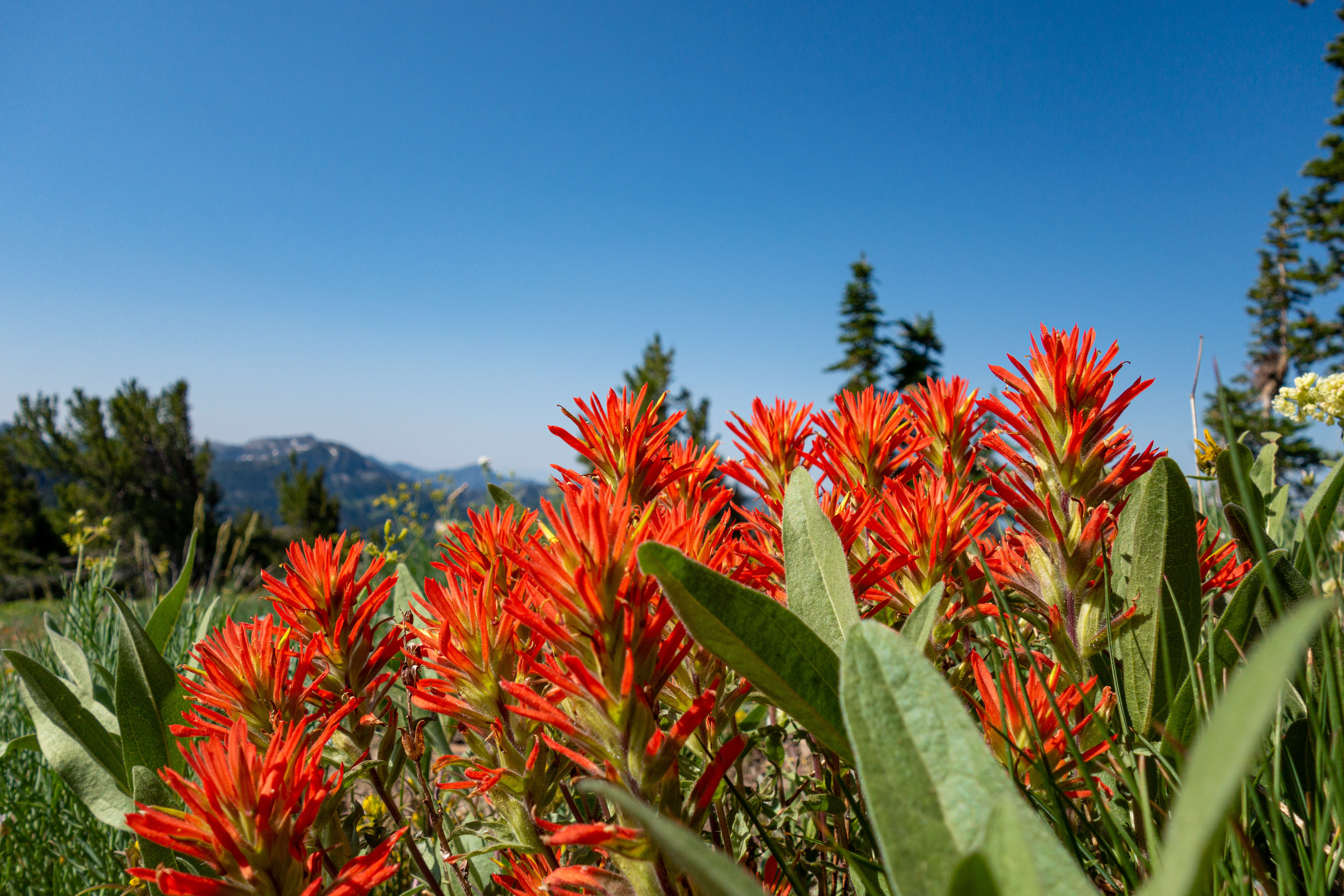
Once again, the flowers in this area were fantastic.

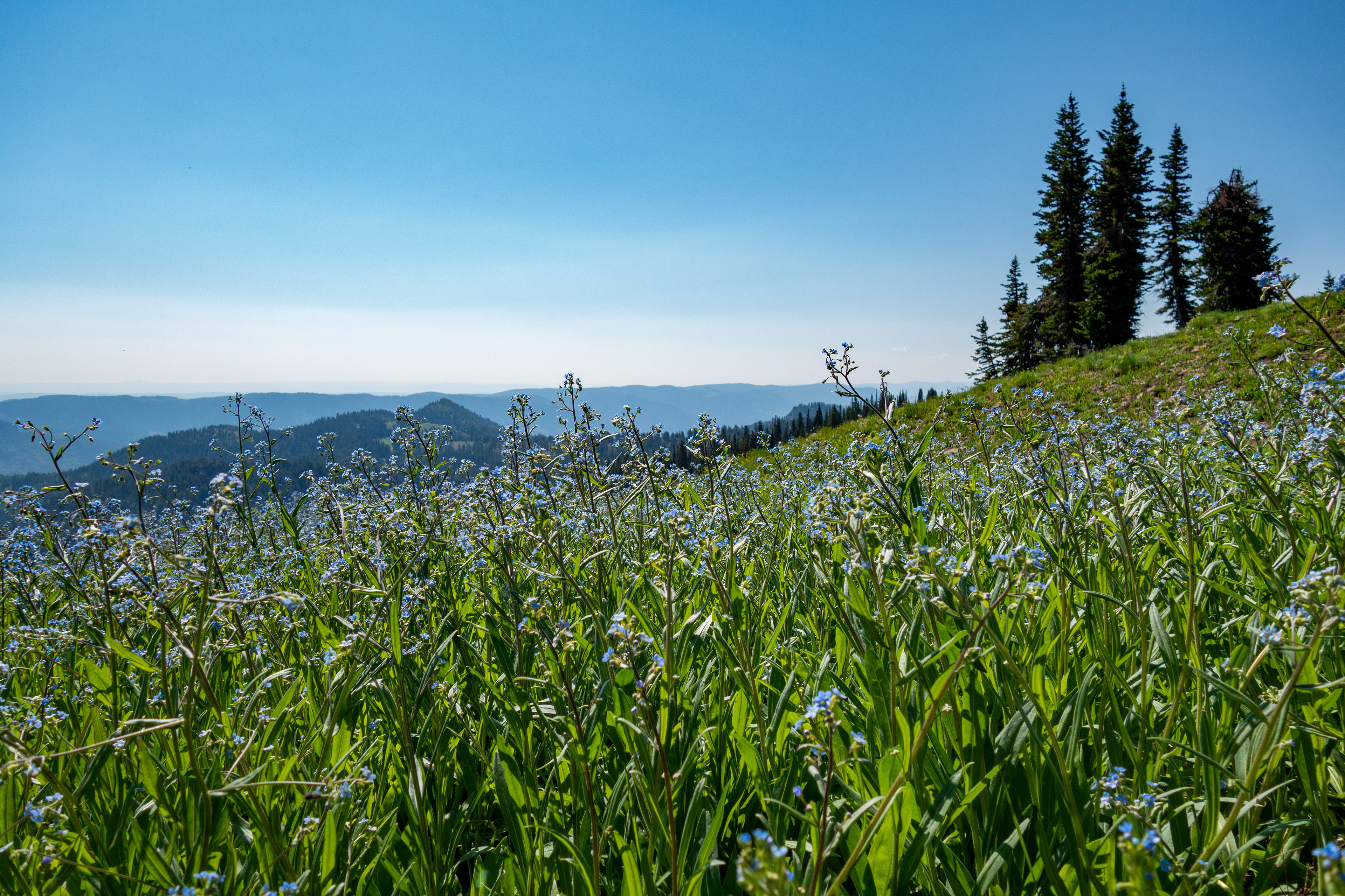
Doubletop Trail is more of a suggestion than a trail, but that just adds to the appeal.
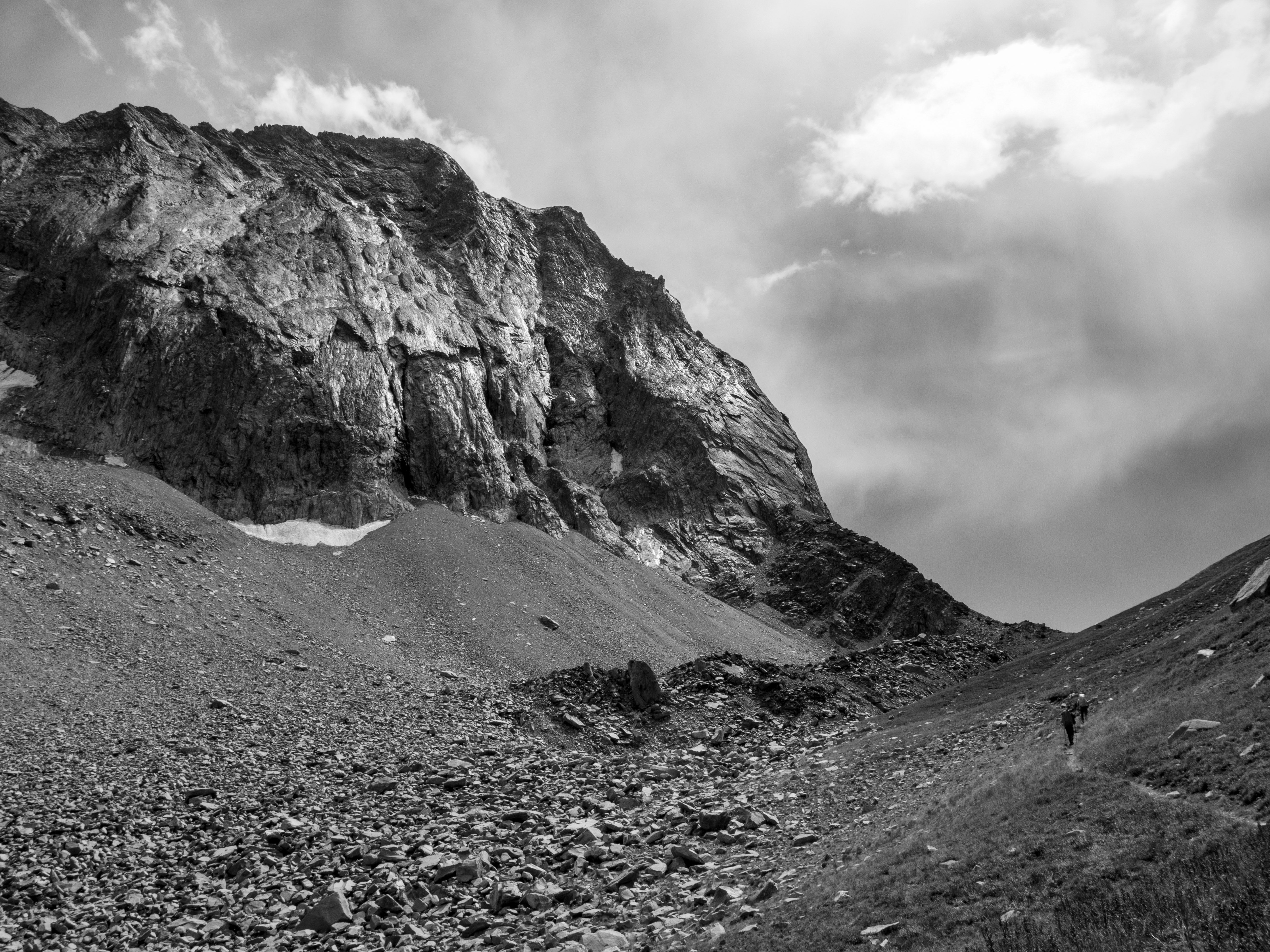
On the way in, we ended up on a talus field (don't go that way) that slowed us down for a bit, but had some great views and interesting rock.
As you get closer to Doubletop, the trail dips off the ridge to the west and we came across another really interesting rock formation. Yes, it was rock, even though it looks like a block of roots.
We passed Doubletop and went a little ways further before we stopped for an early lunch.
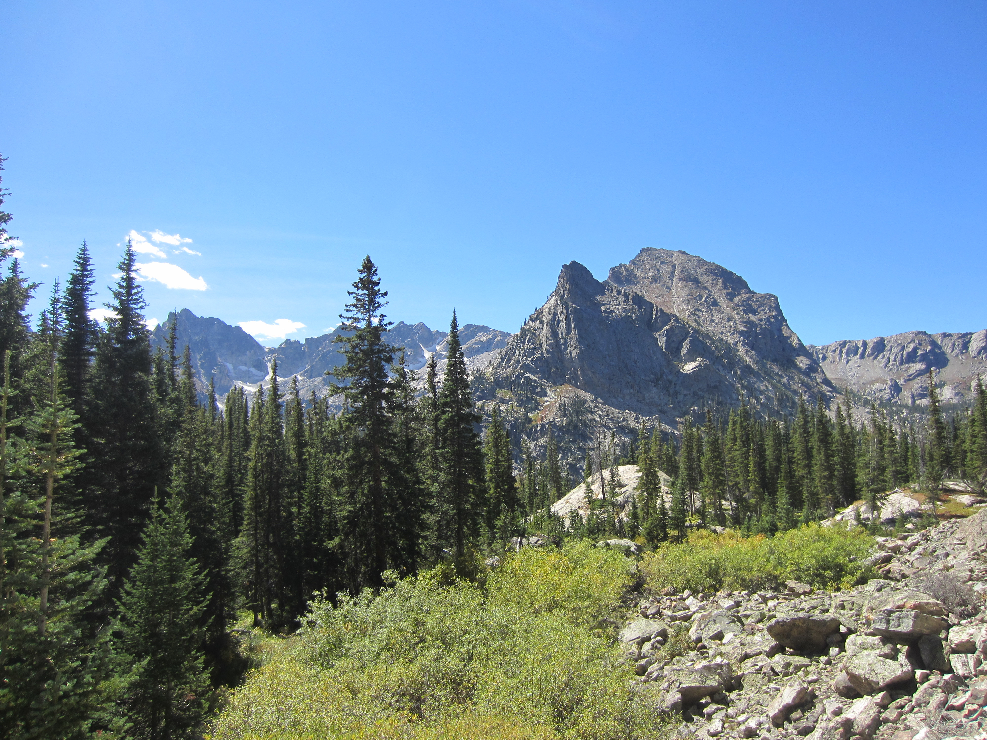
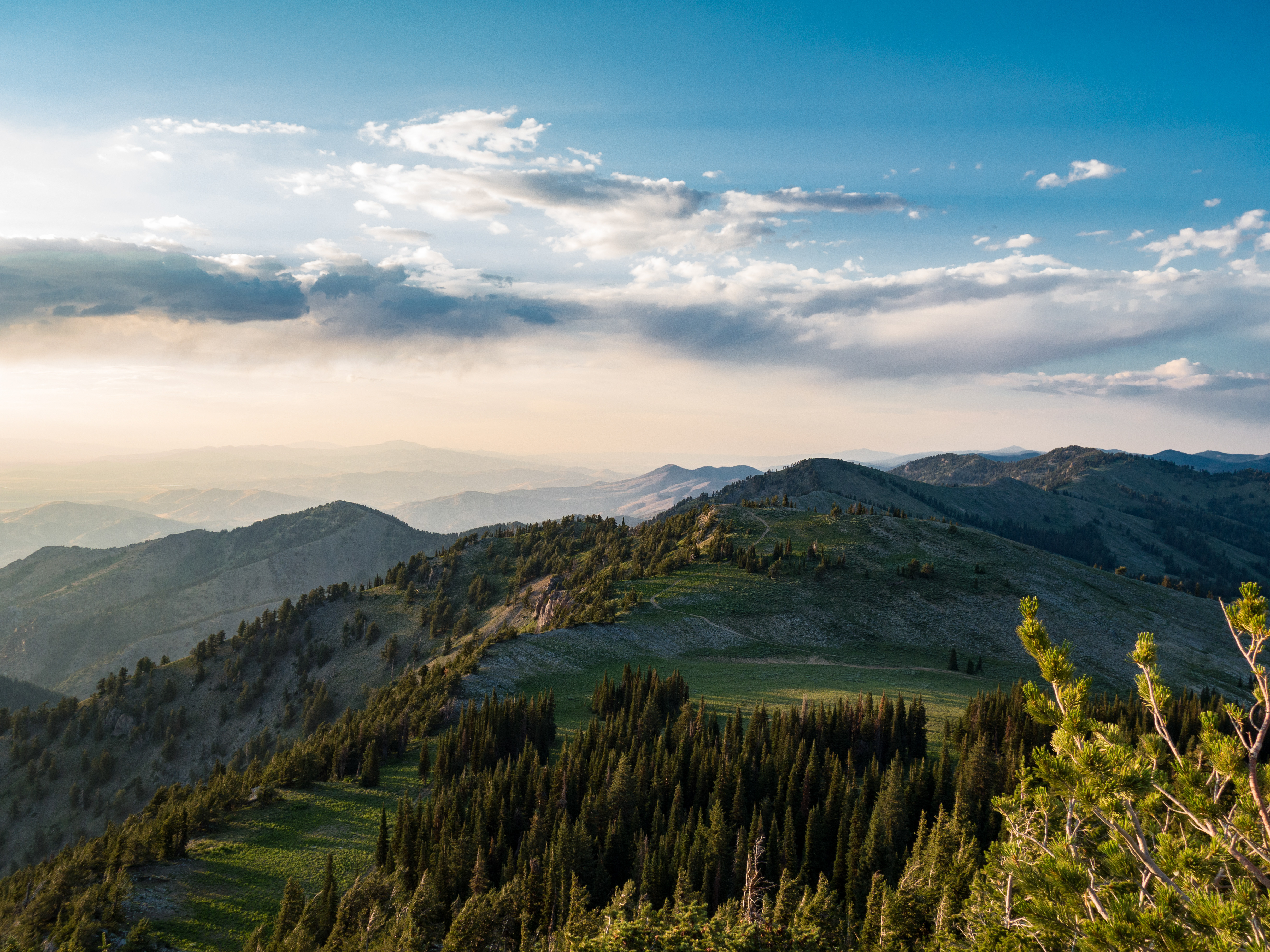
Twenty minutes later, we were headed back home, enjoying the vistas and this wonderful area.
