Date: September 16 and 17, 2015
Location: Devil’s Thumb Loop via the Hessie Trailhead. Indian Peaks Wilderness
Distance: 15 miles (just the loop), 17 miles with side trips.
Cumulative Elevation Gain: 3,000 feet +/-
Weather: Friday – cool (24 degrees on the drive up) and very windy. Saturday – perfect – maybe 30 in the morning and warmer as the day went on.
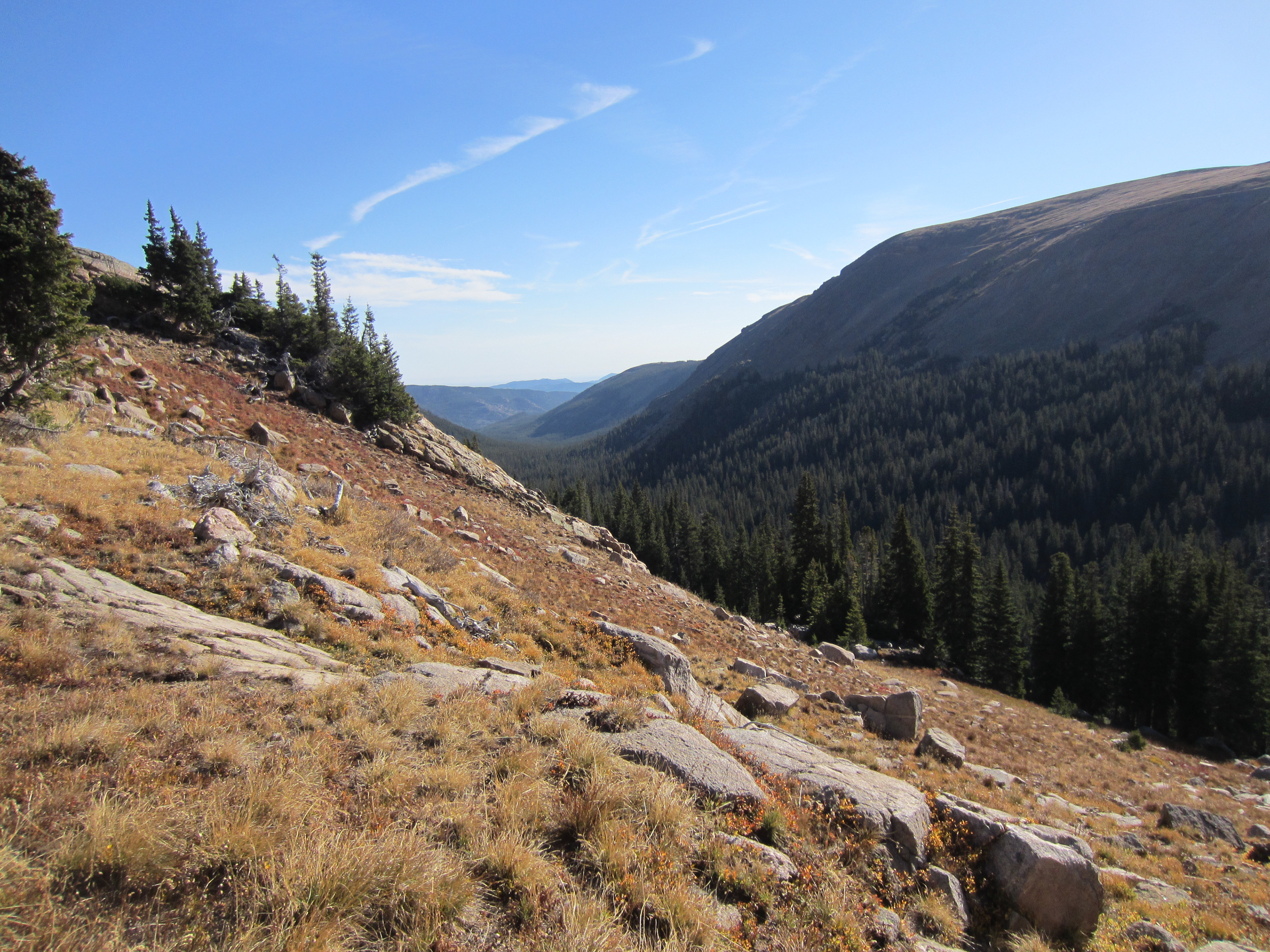
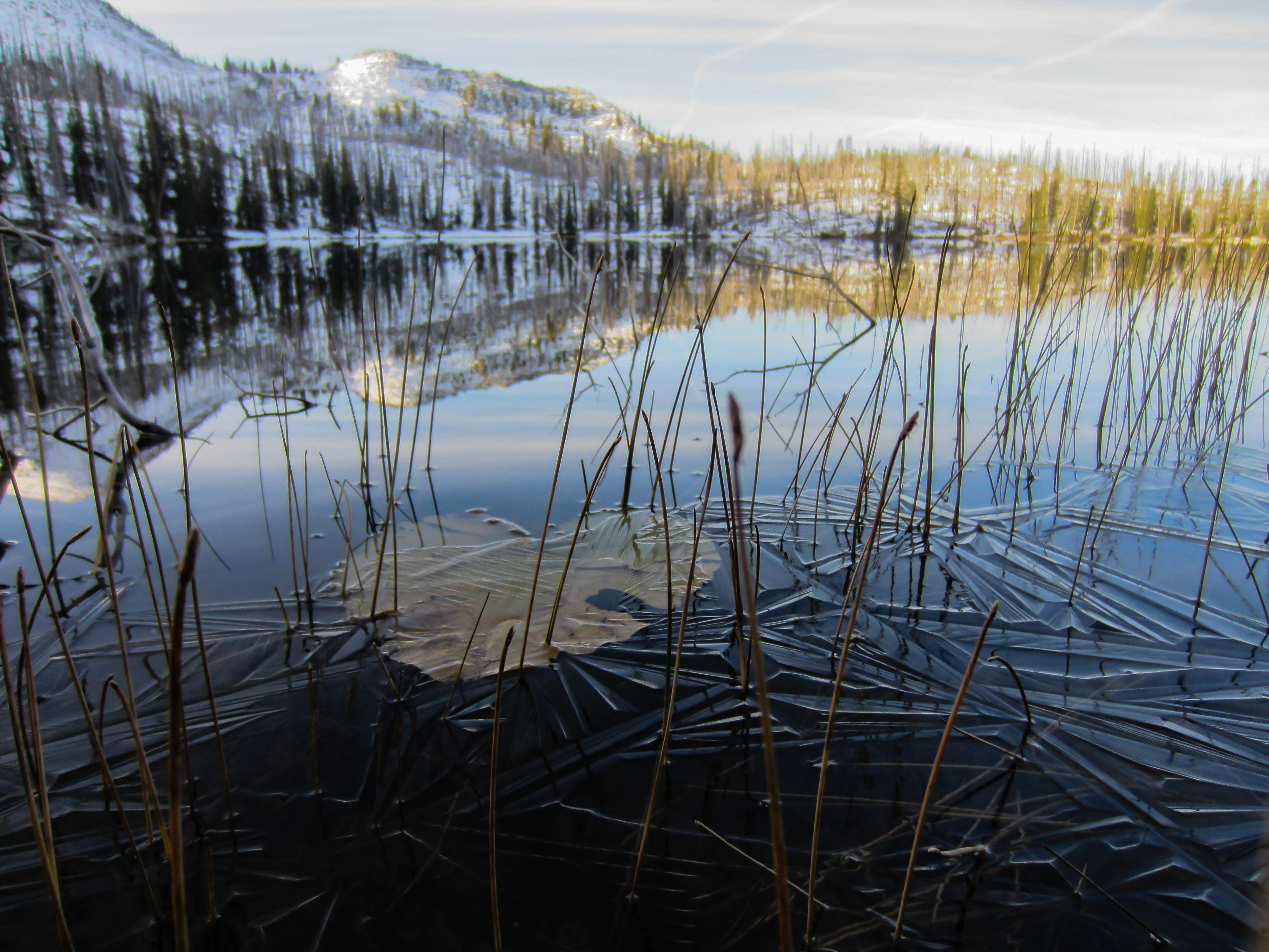
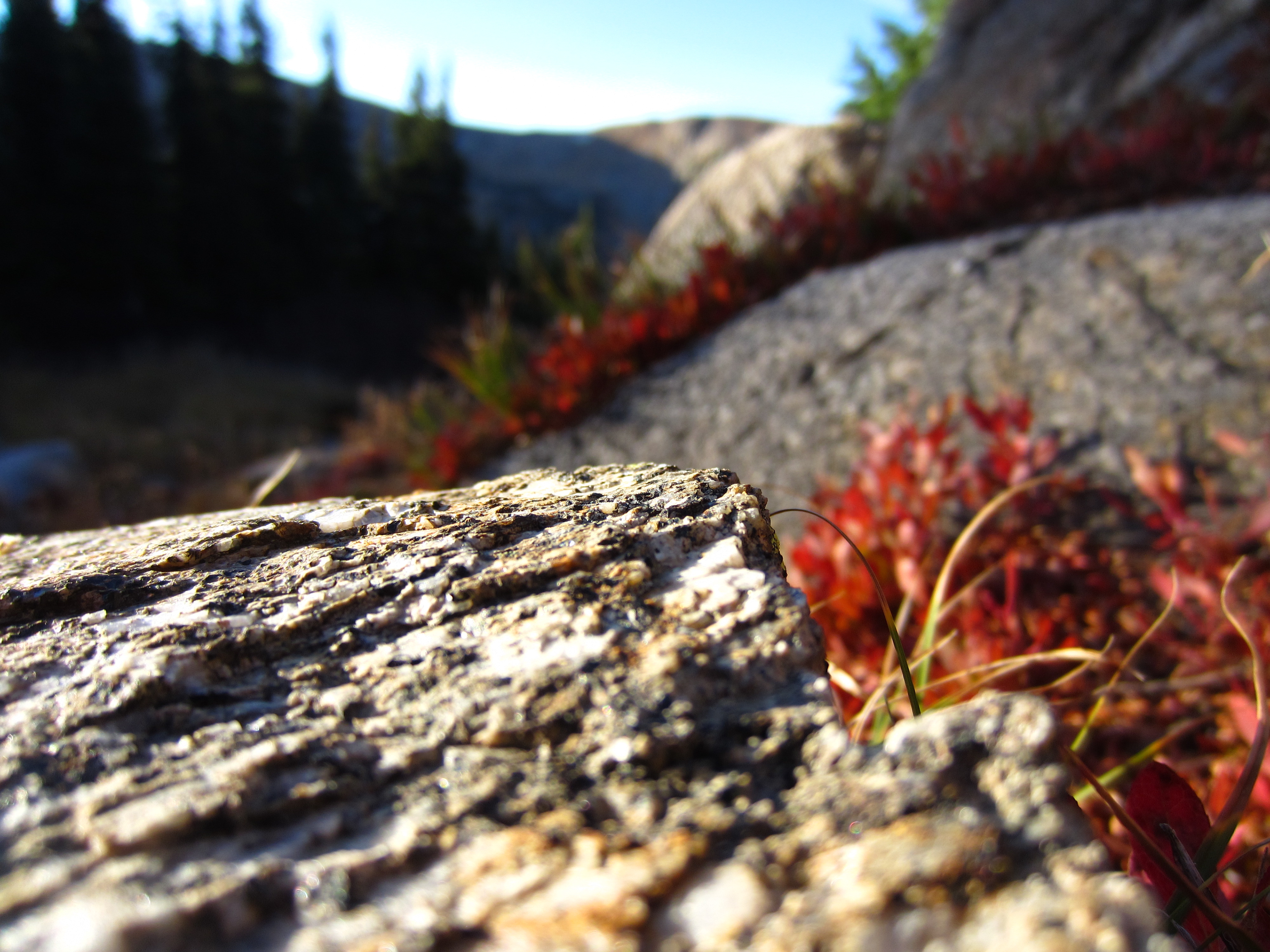
The first part of this hike (first mile or two) is a slog. It is mostly a wide trail made out of loose gravel and cobbles over dry soil. No pictures of this part because there isn’t a whole lot to see or admire. After working through the initial part, we took the trail towards Devil’s Thumb Lake (passes Jasper Lake). Once you start on this part of the trail, the scenery starts improving.
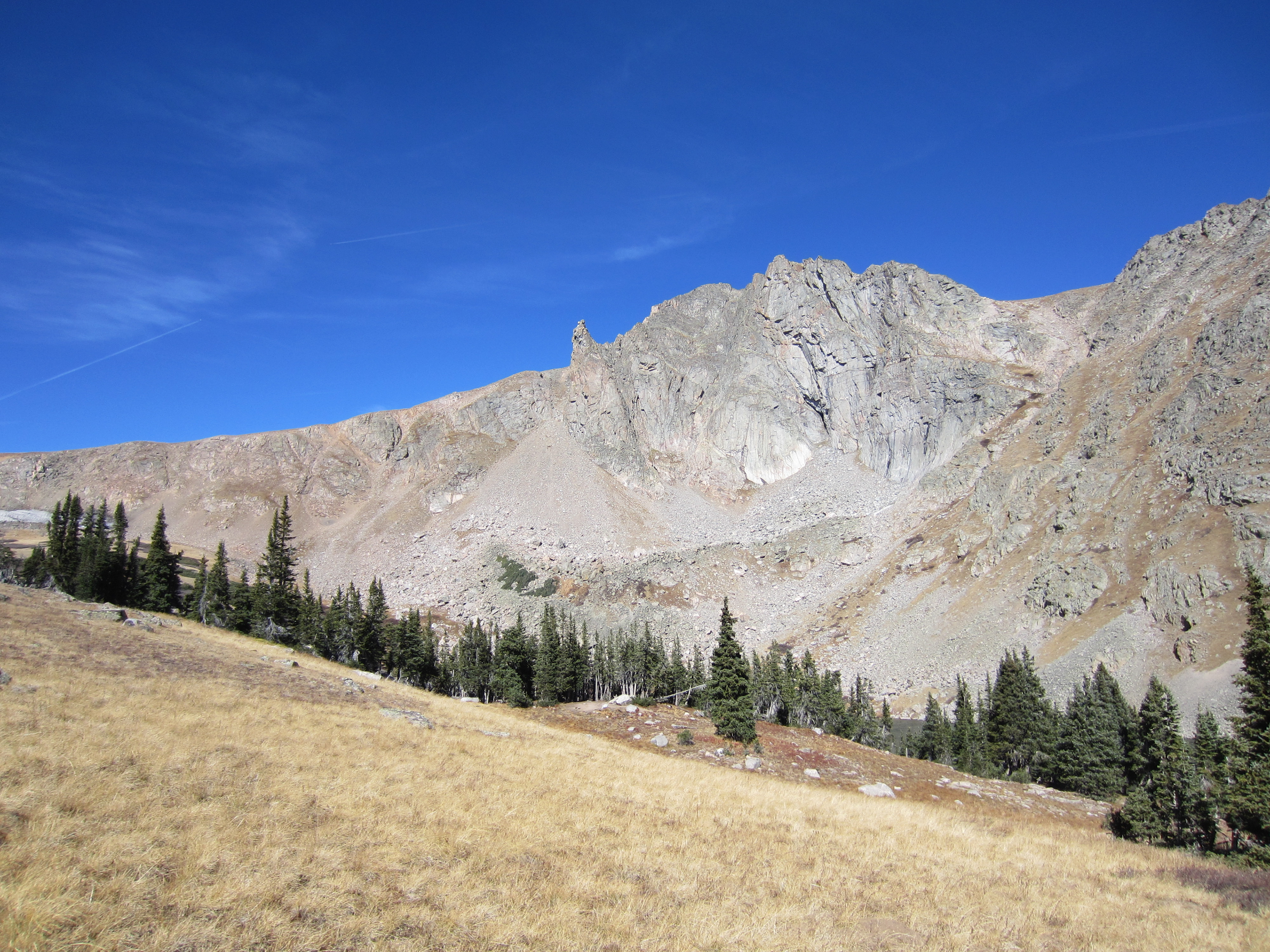
Devil’s Thumb in the middle of the picture. The lake can just barely be seen in the lower right hand corner.
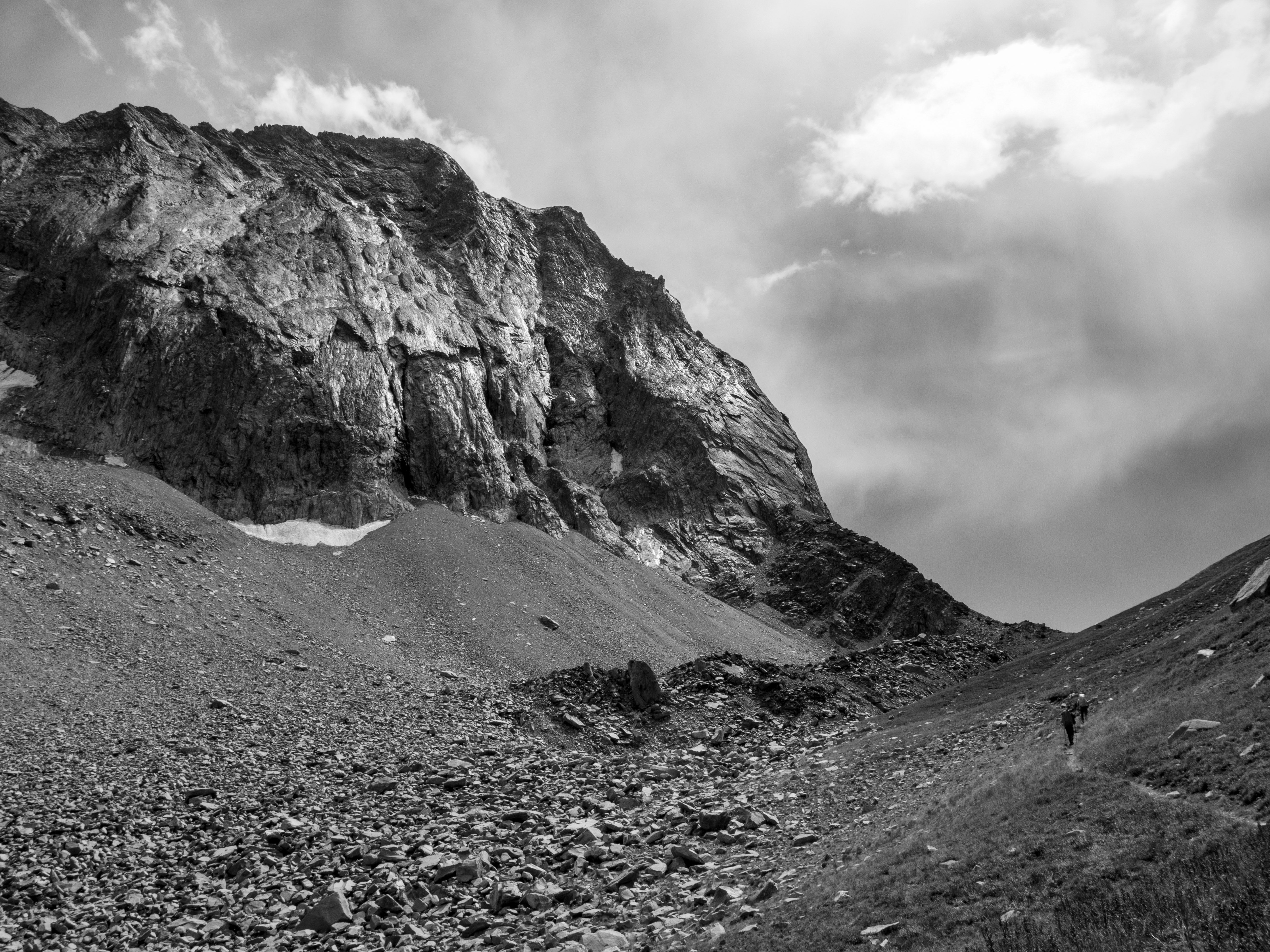
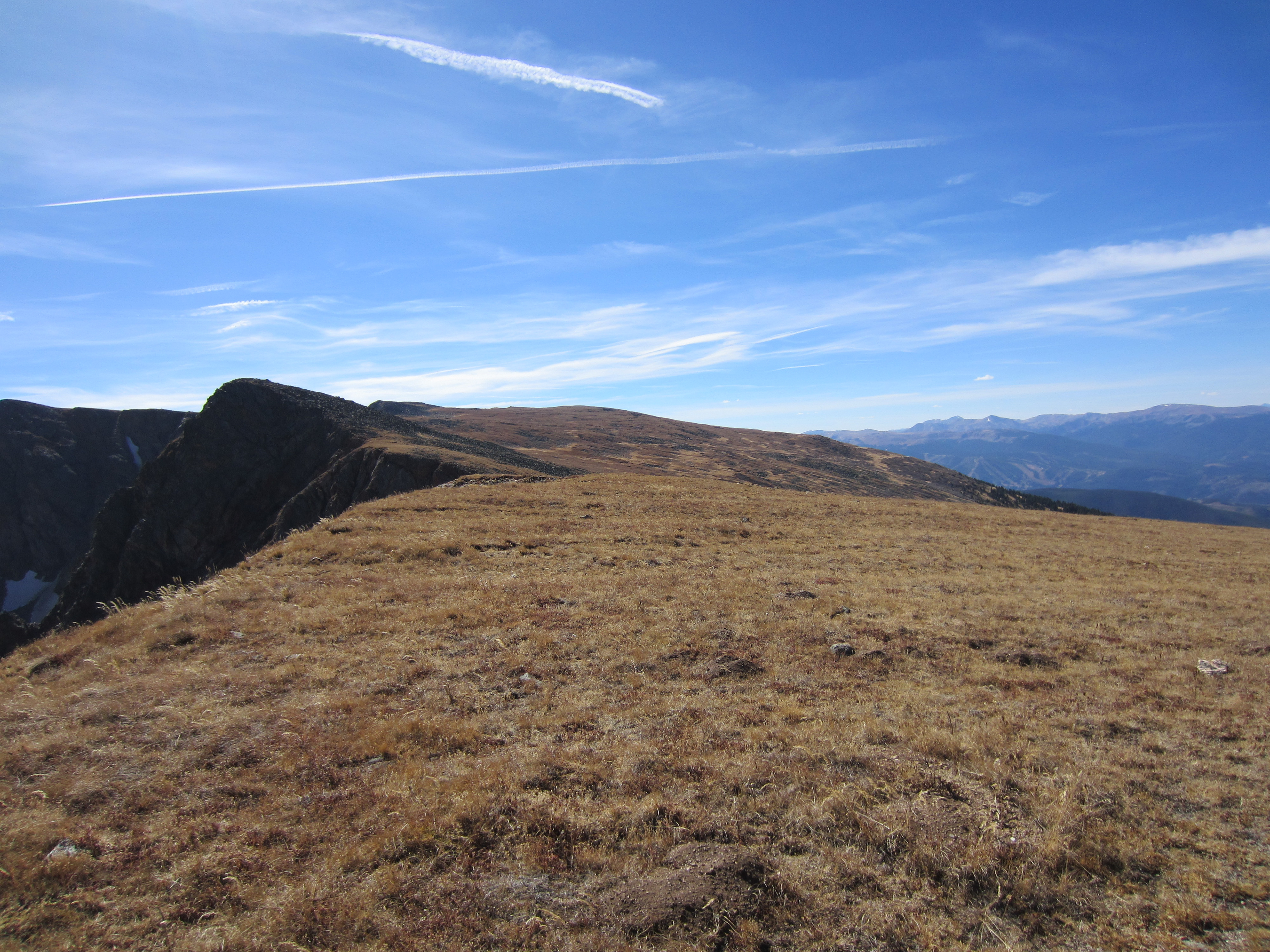
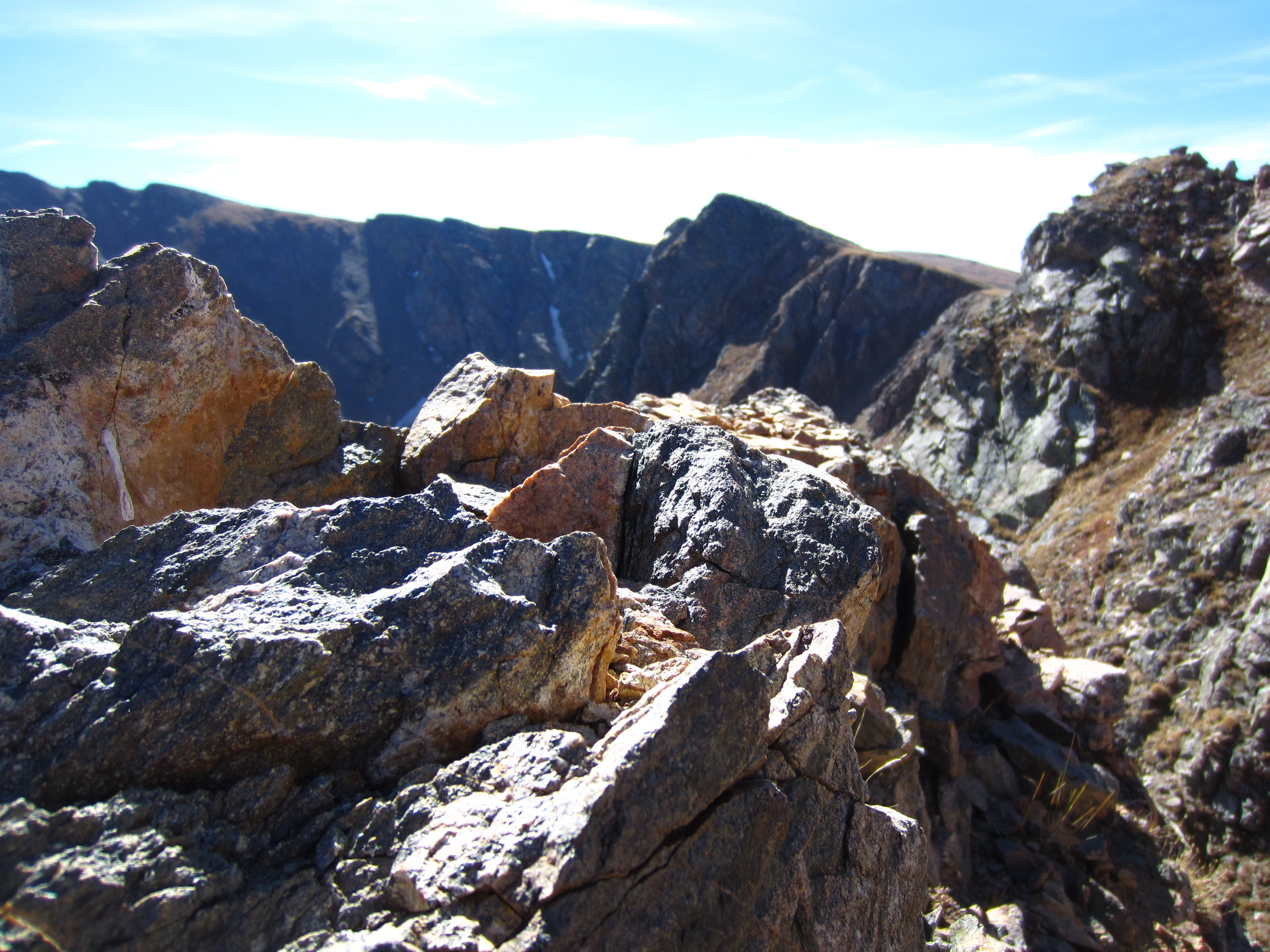
The wind started picking up around Devil’s Thumb Lake and intensified as we climbed up to Devil’s Thumb Pass (12,000 feet).
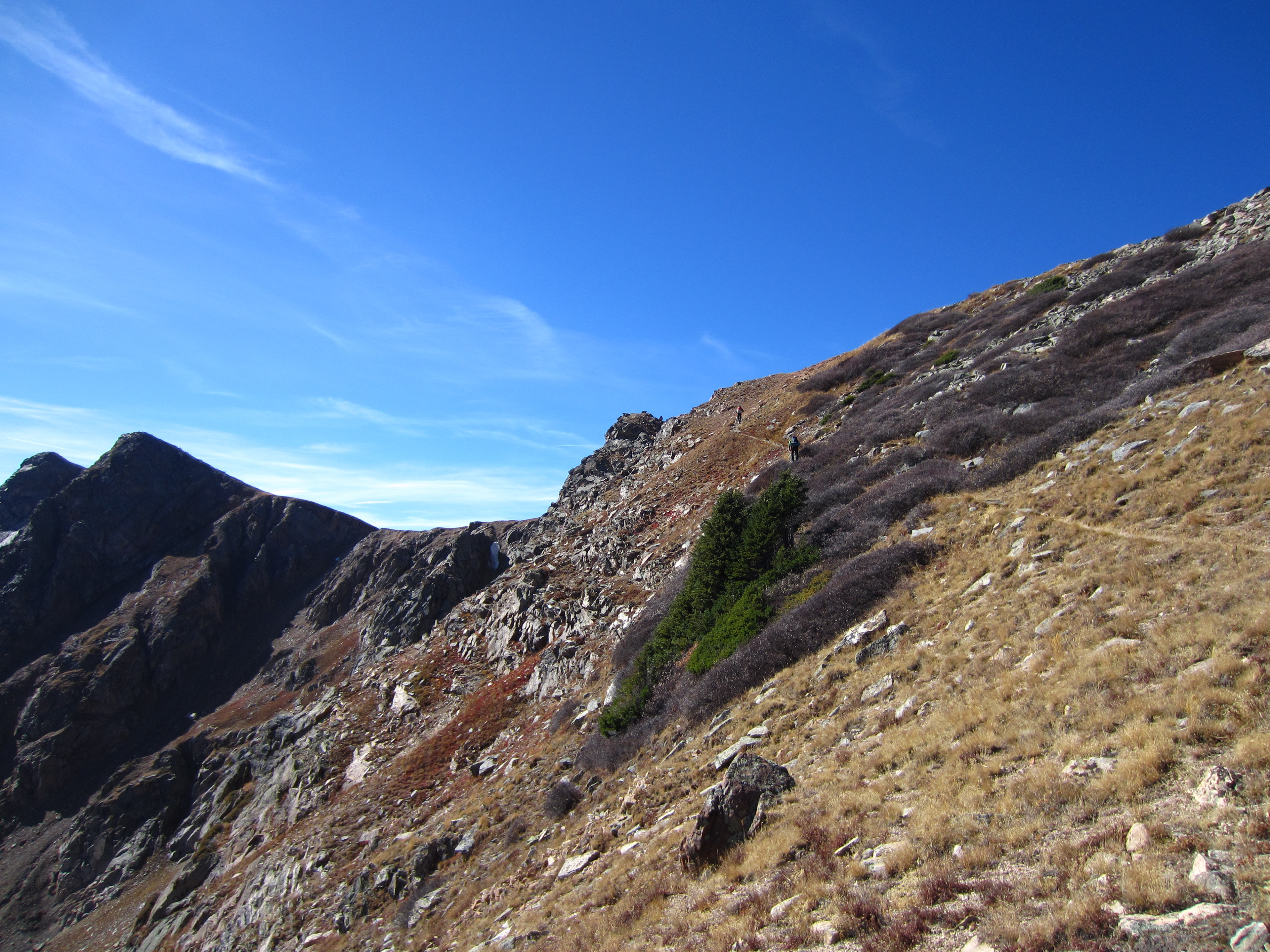
After climbing over the pass, the trail connects with the High Lonesome Trail. If they added “windy” to the name, it would be a completely accurate description.
The wind really hammered us up here. Well above tree line, there was no shelter. Fortunately, we had stopped for lunch at Devil’s Thumb Lake, so we tried to make as good as time as possible through this section of the trail.
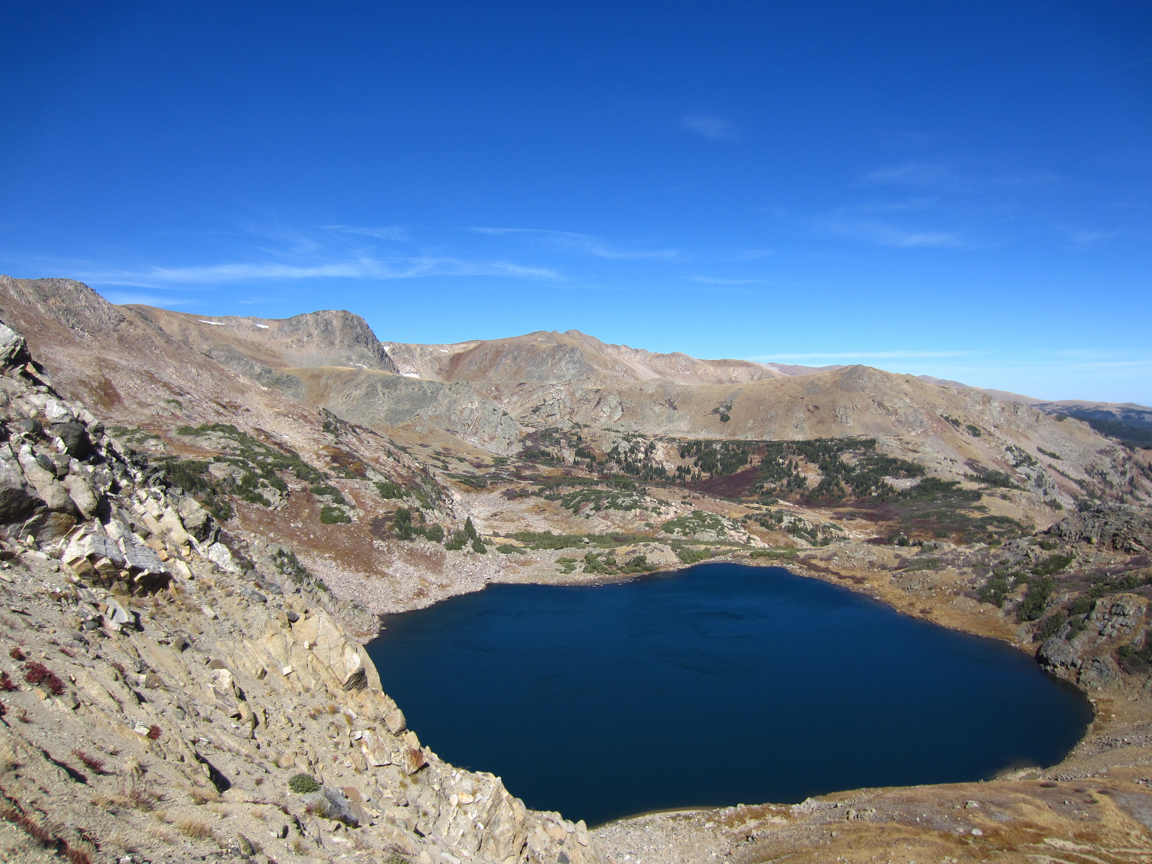
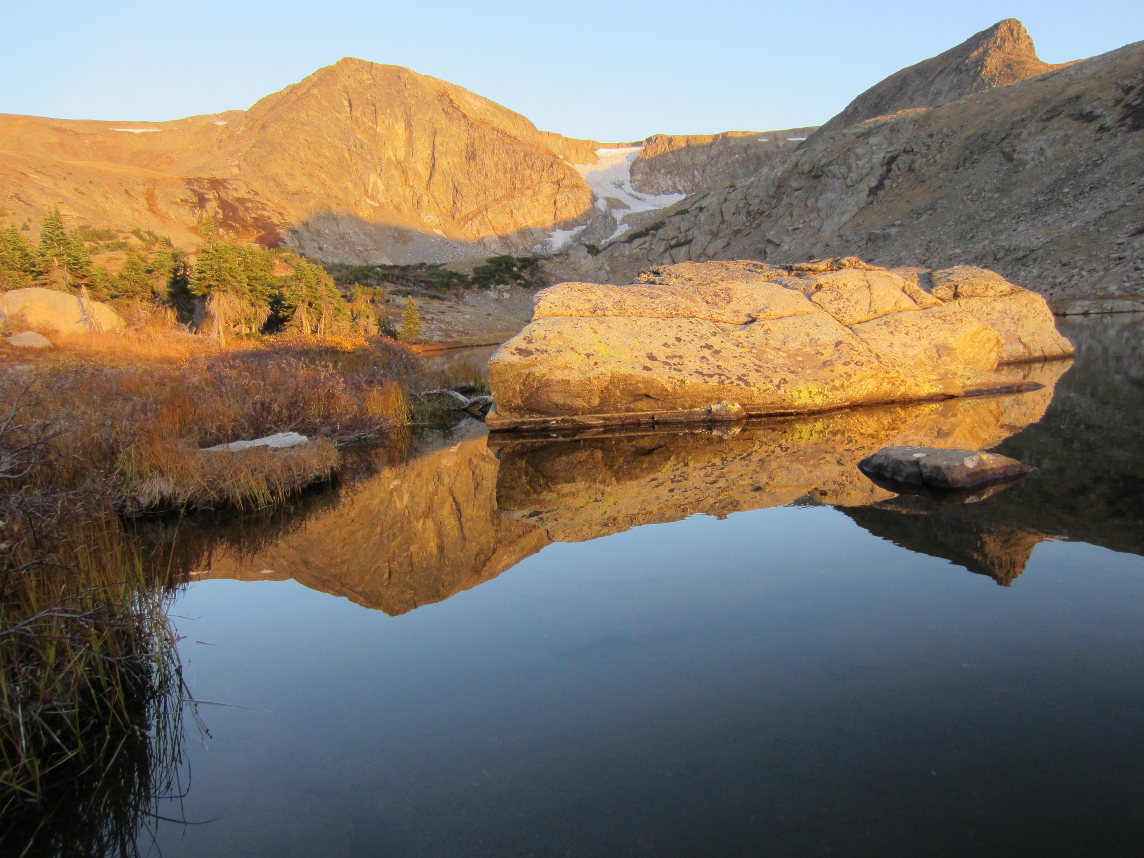
King Lake. Yes, it really is that blue.
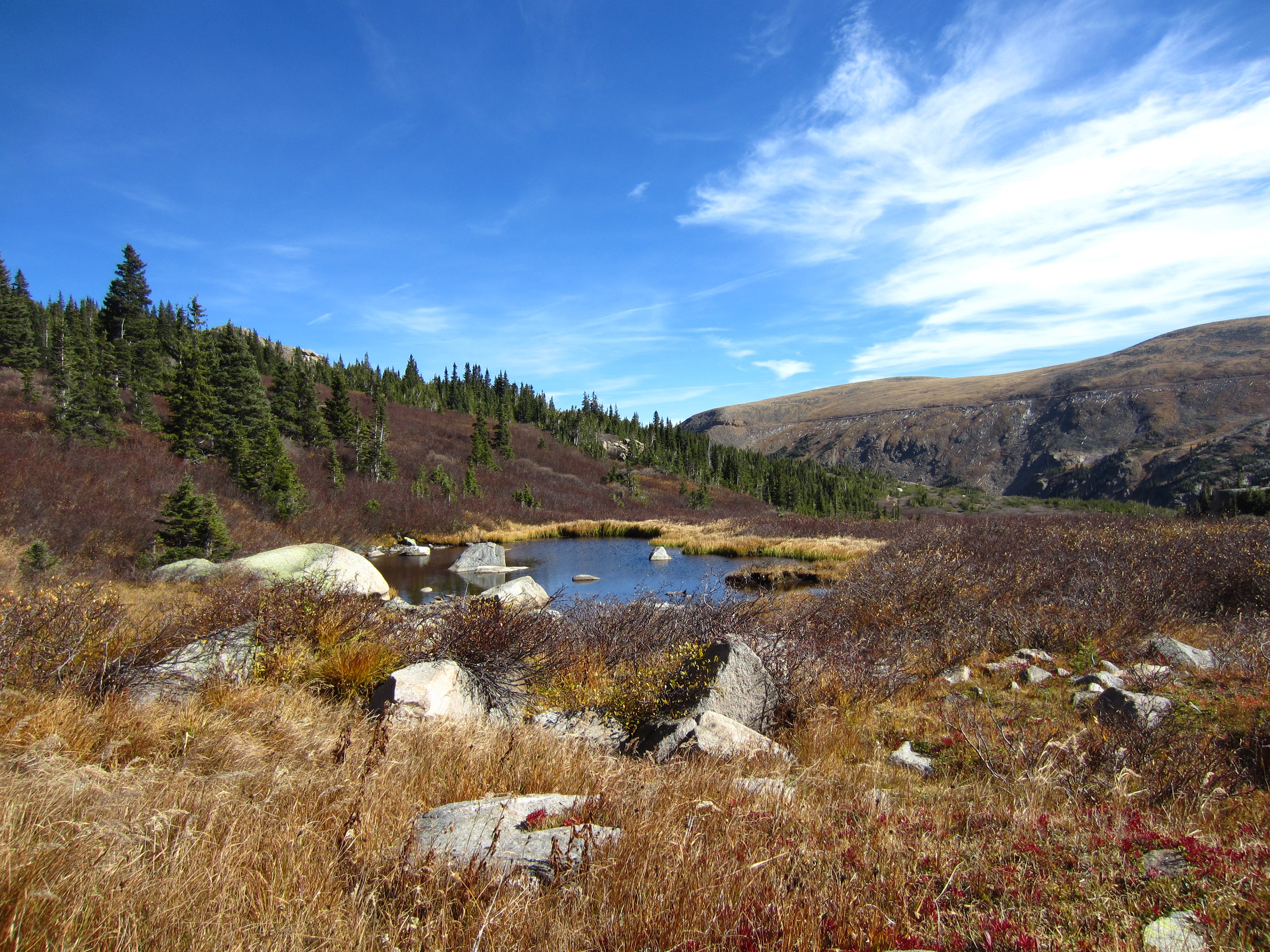
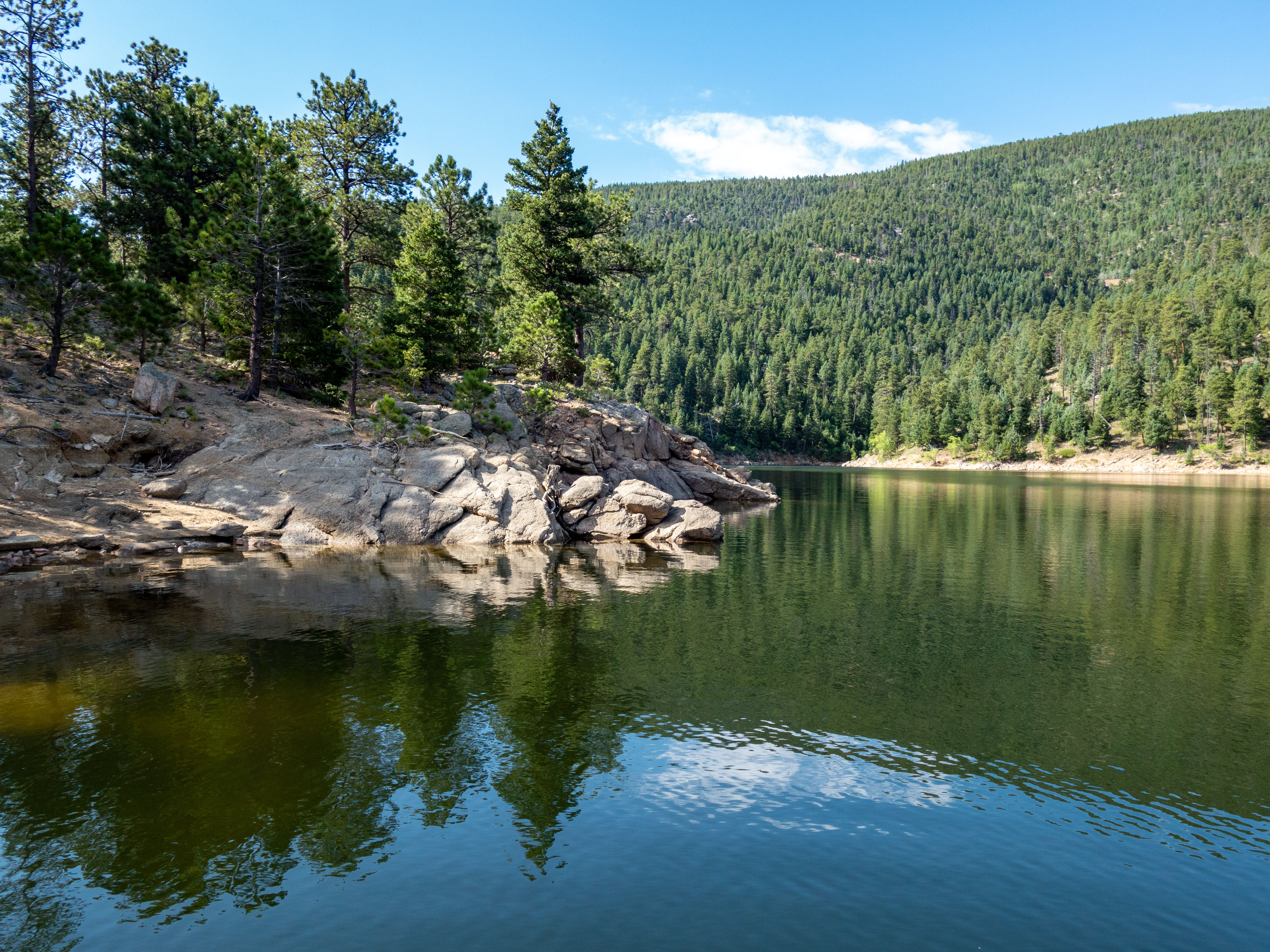
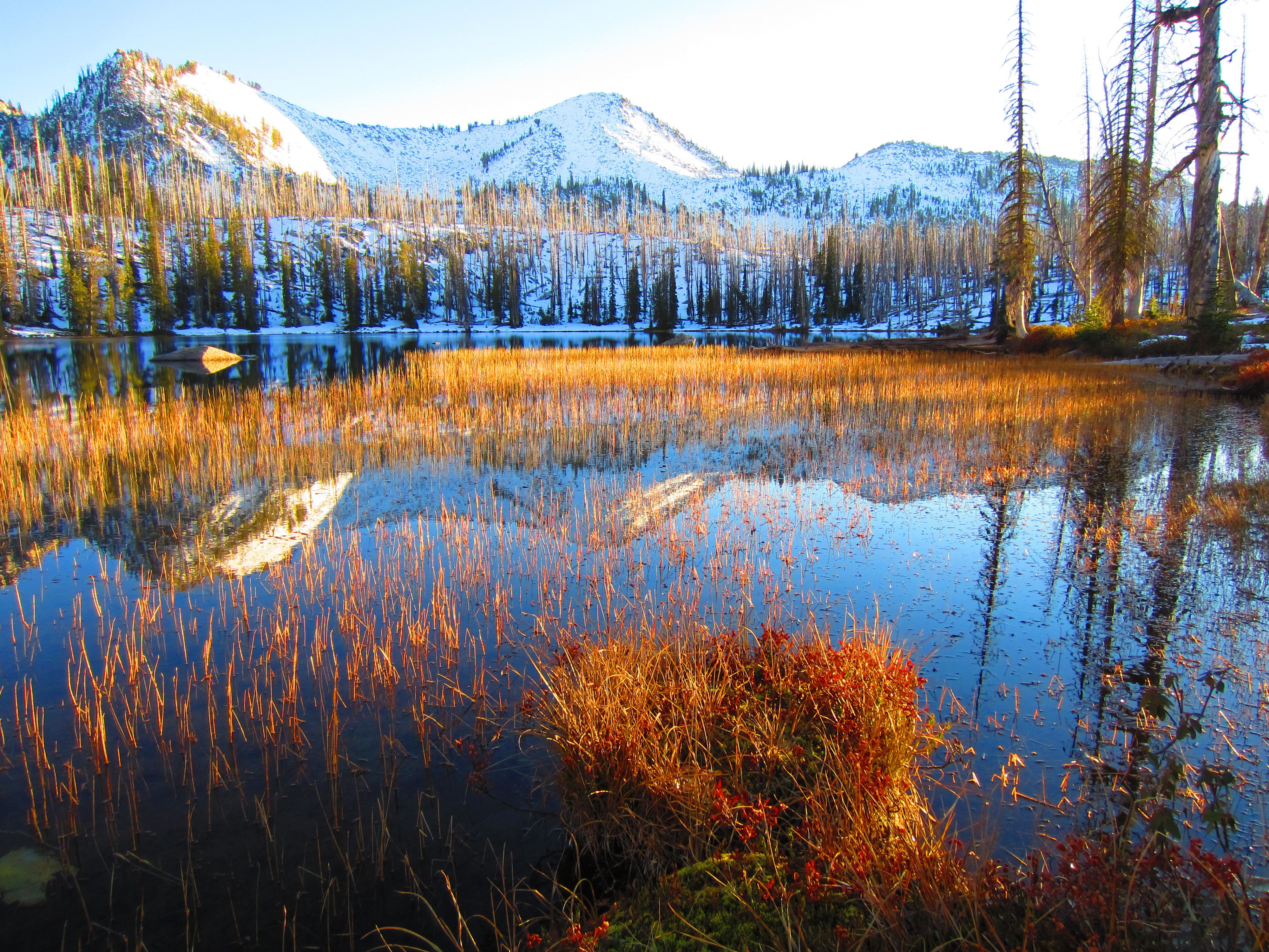
We bushwhacked our way over to Betty Lake and passed this little pond on the way. The next few pictures are all from Betty Lake.
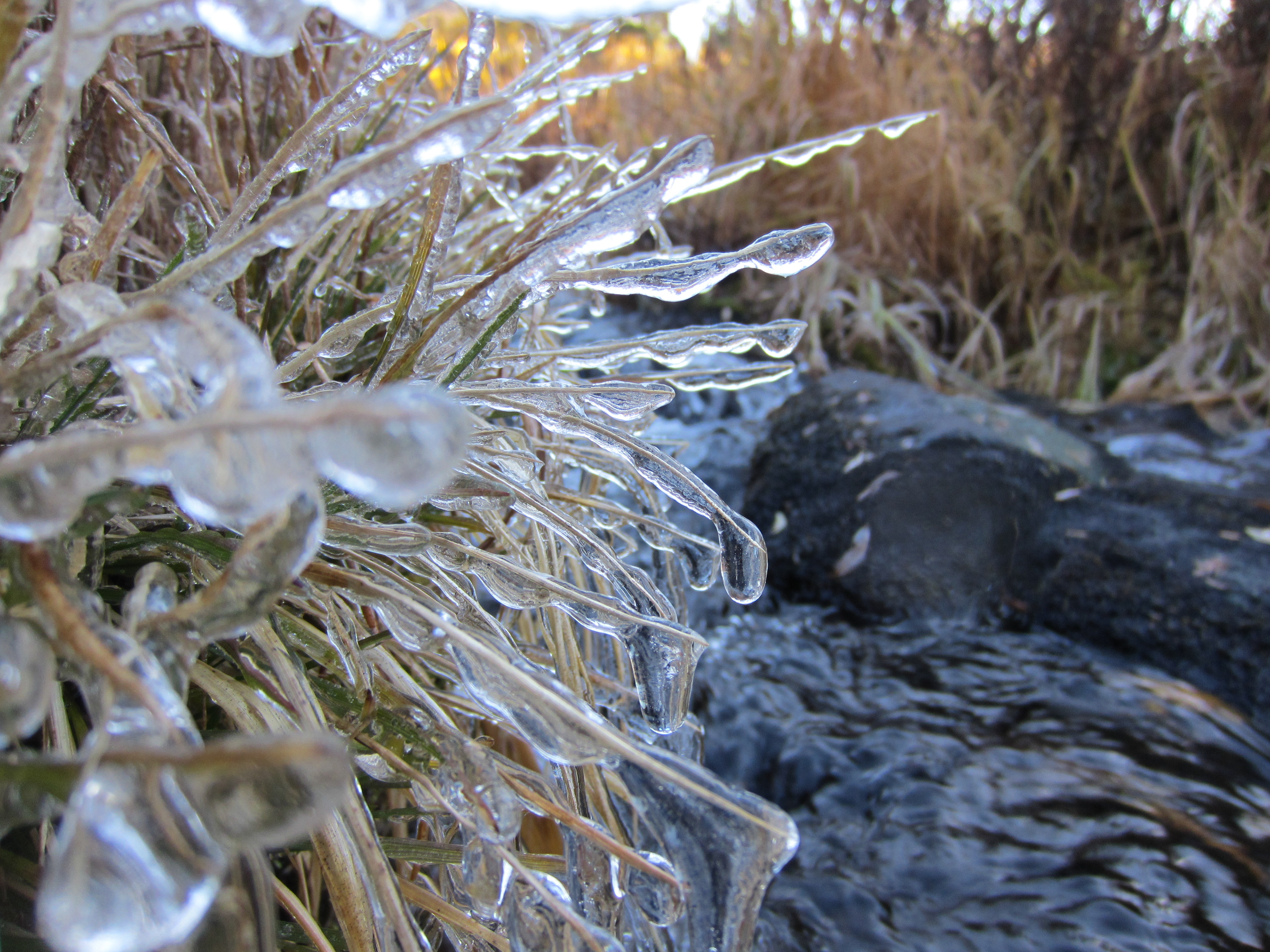
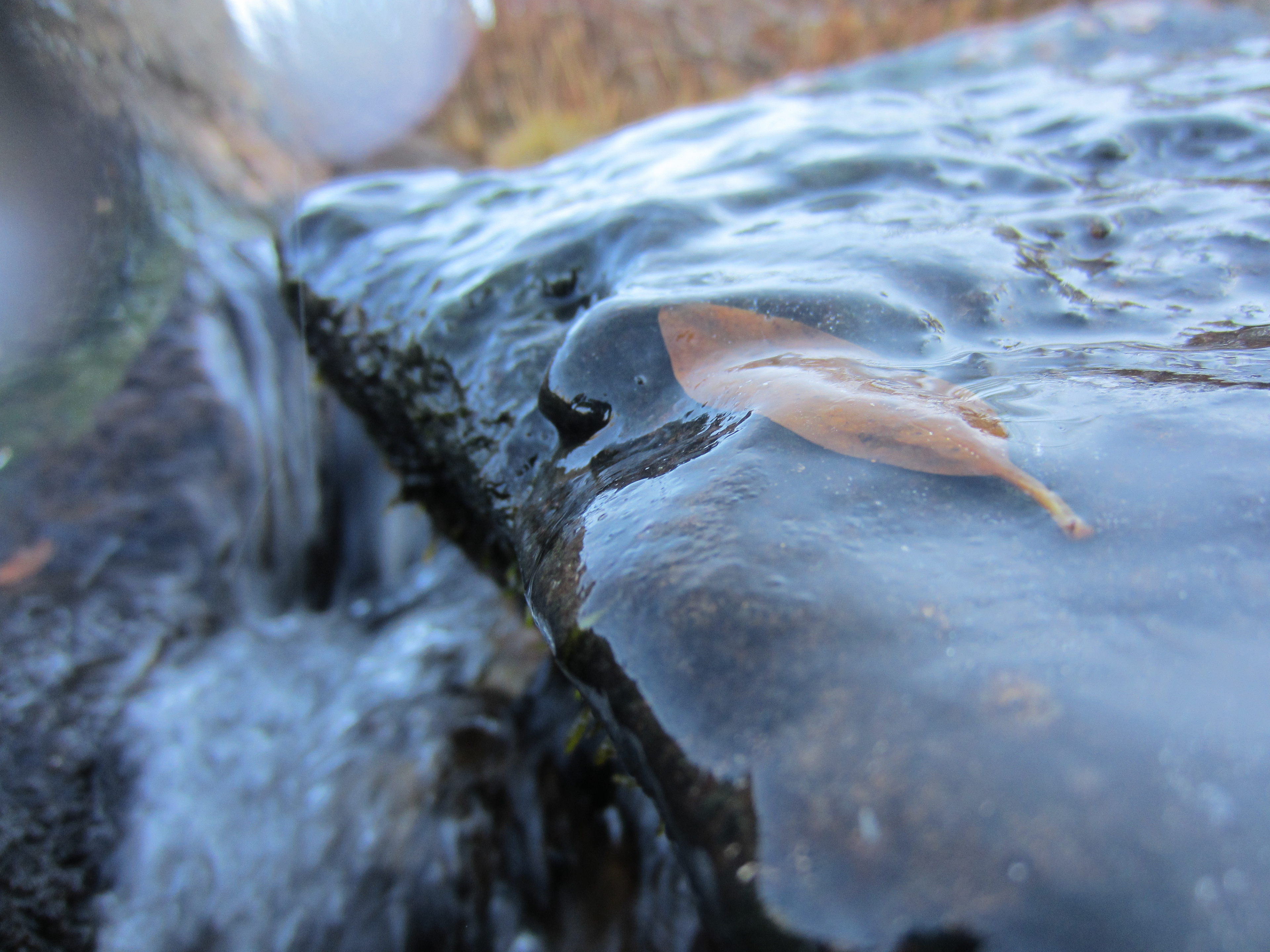
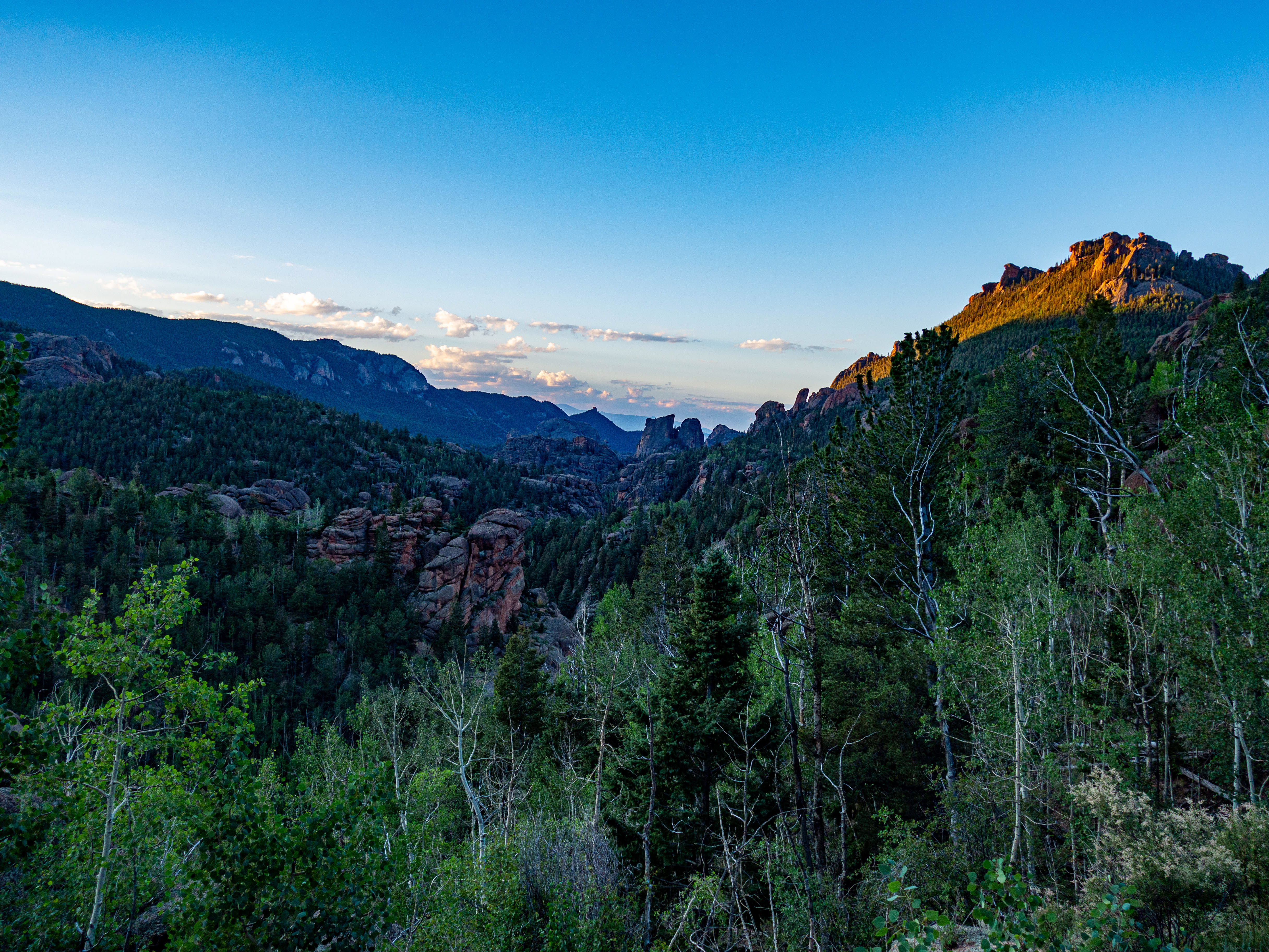
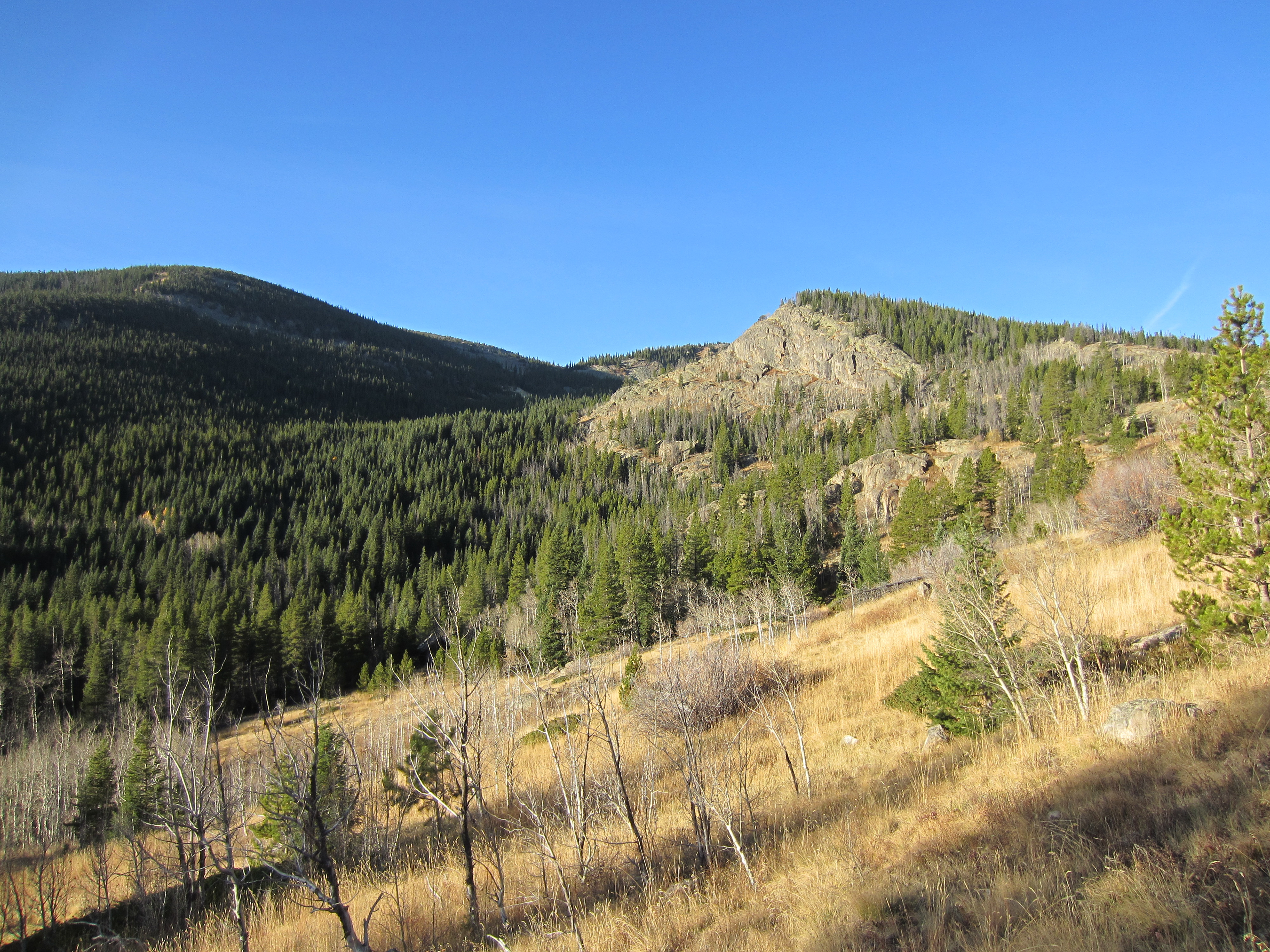
We returned to the trailhead along the South Fork Middle Boulder Creek Canyon (big name for a little creek).