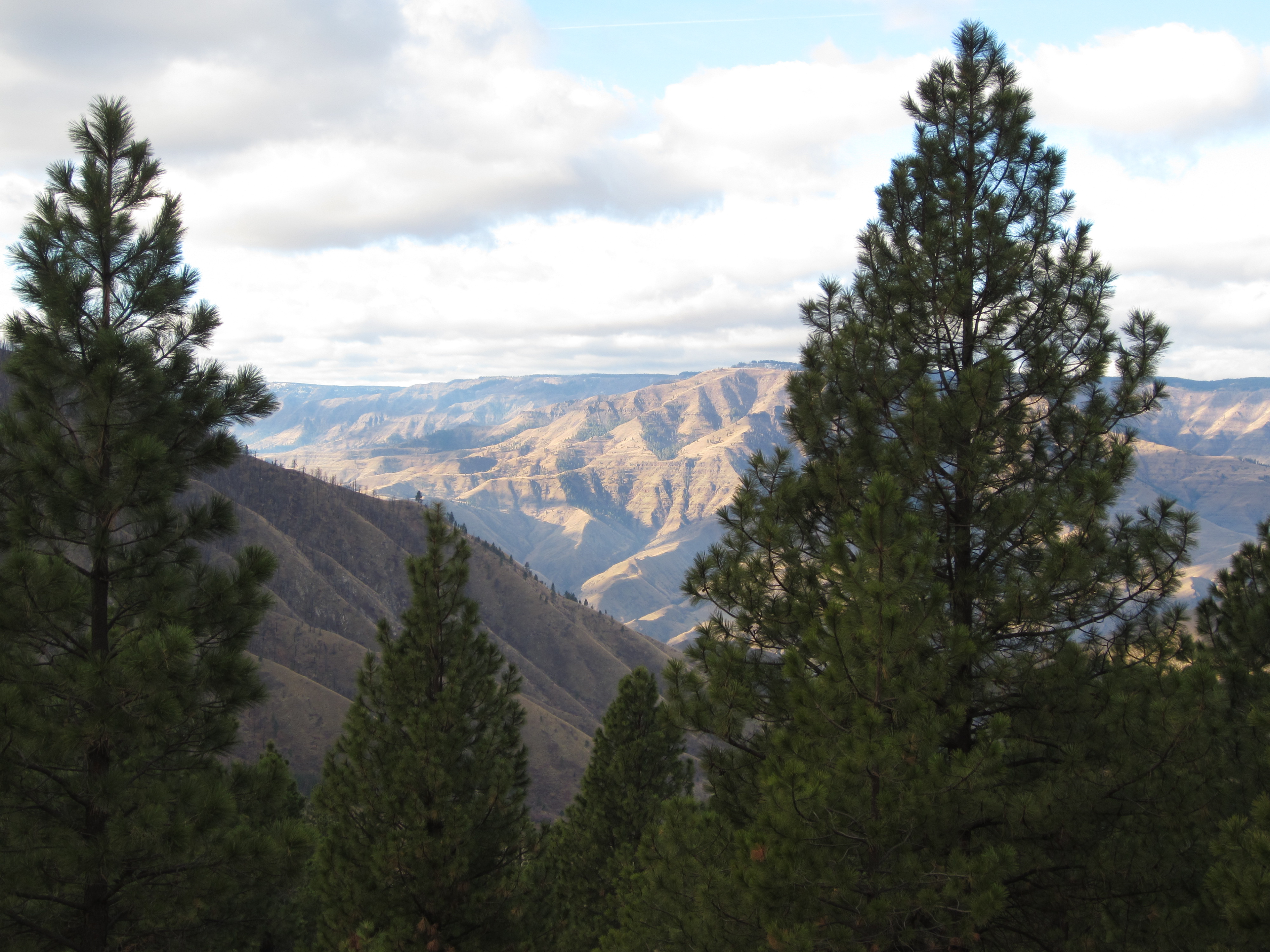
According to the Forest Services, Hells Canyon is North America's deepest river gorge. It was carved by the Snake River and plunges 8,000 feet below snowcapped He Devil Peak of Idaho's Seven Devils Mountains. Two friends and I lefthome at 5AM on November 15 to make the 4.5 to 5 hour drive to Pittsburg Landing for a hike in Hell’s Canyon. The turnoff for Pittsburg Landing is just past milepost 222 on US 95. The road climbs steeply for a few miles and then offers a glimpse of the upcoming scenery.
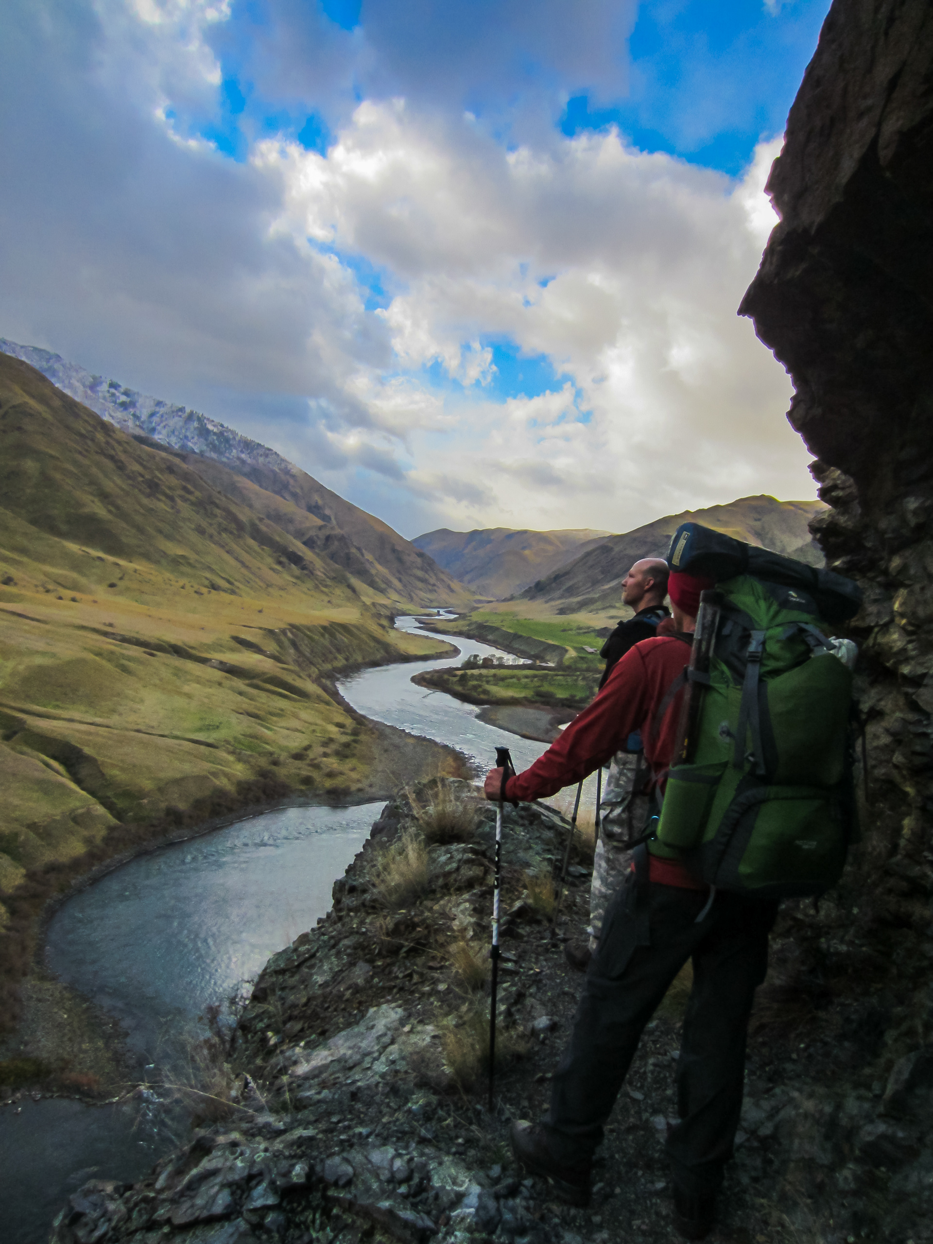
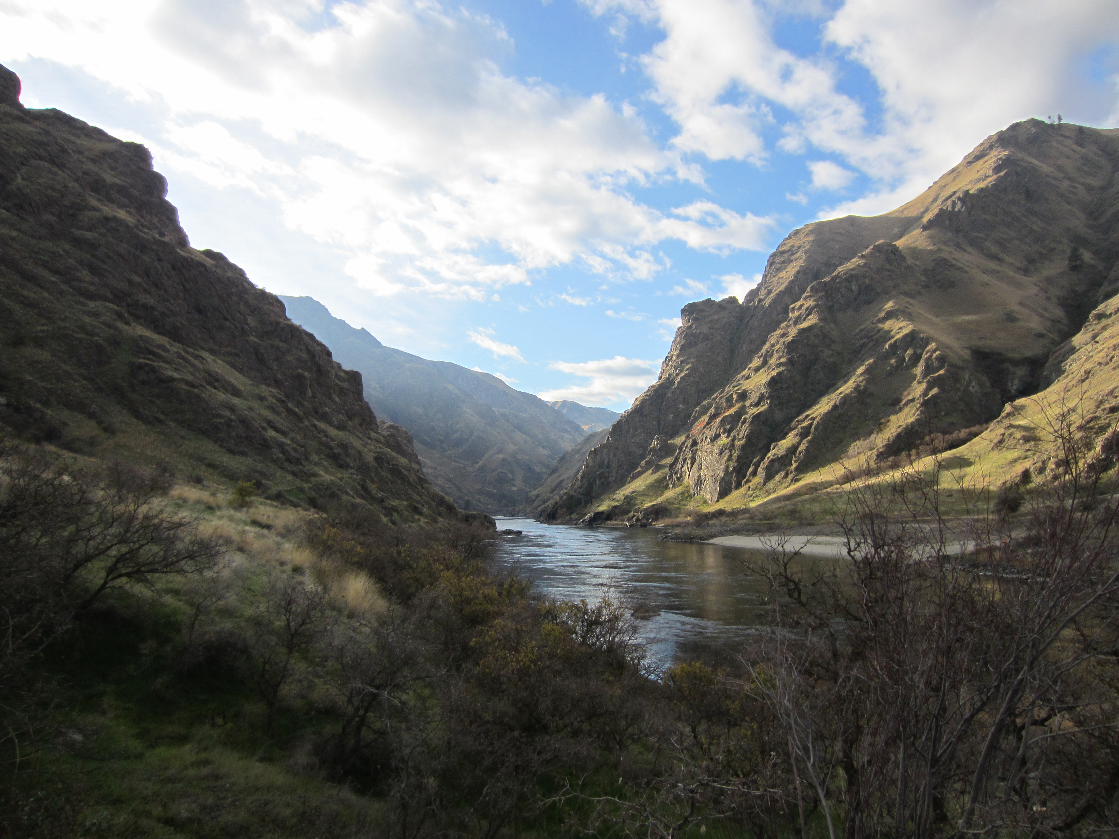
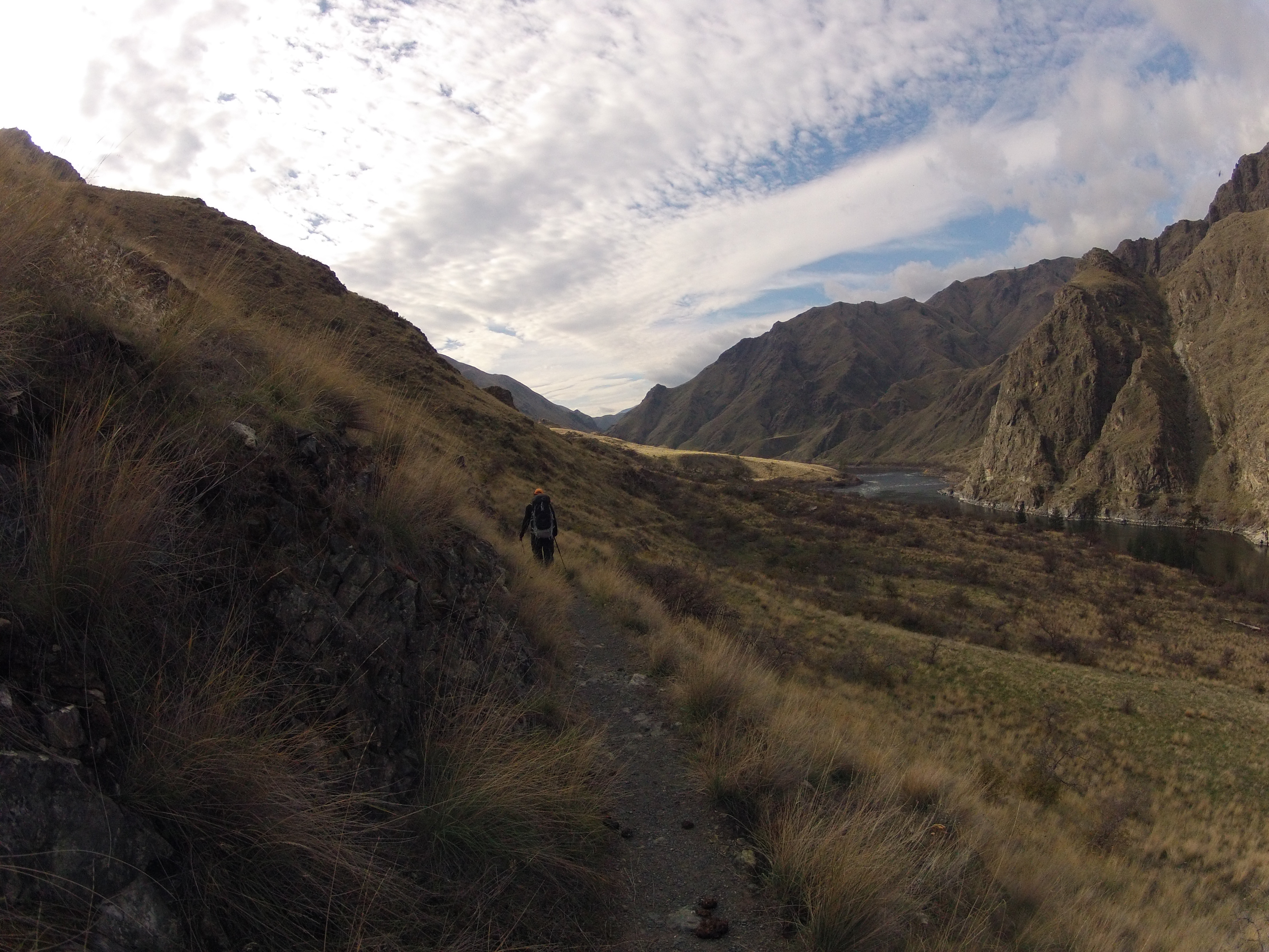
After parking at Pittsburg Landing, we started up the trail heading roughly south, which is upstream. Right off the bat, the canyon makes you feel kind of small.
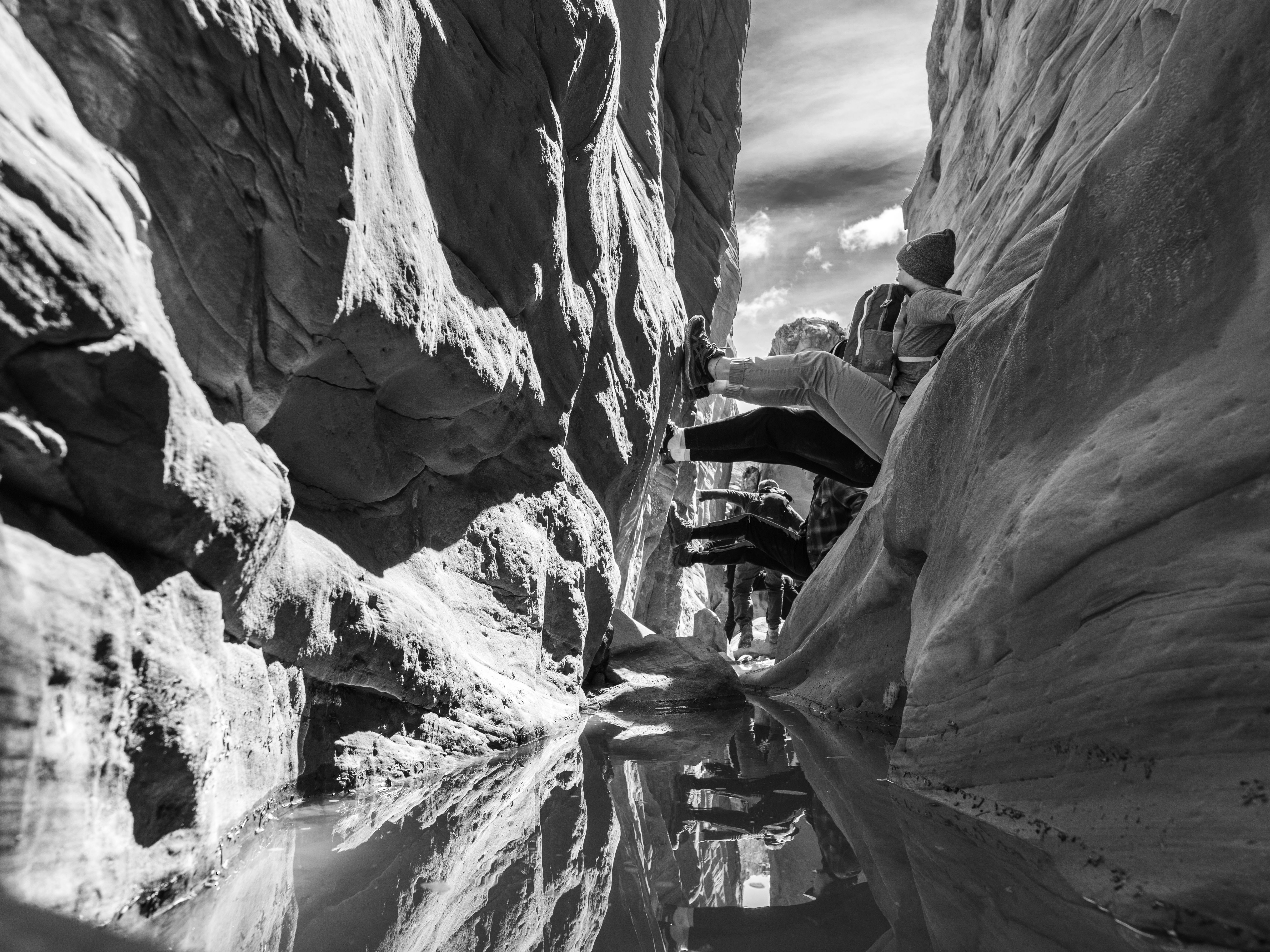
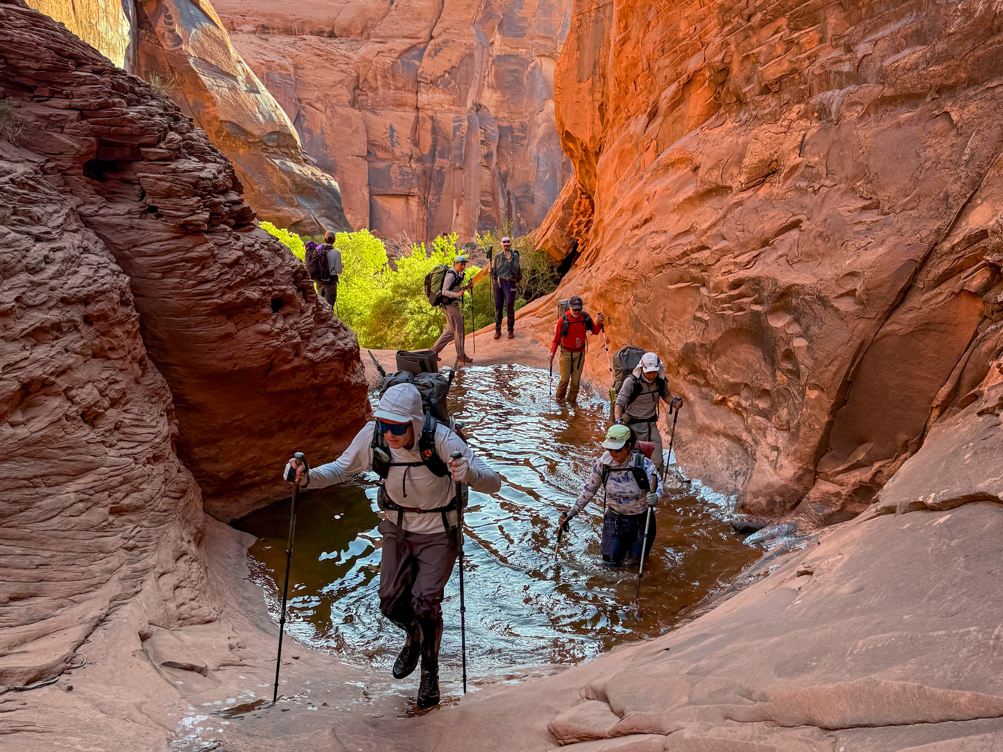
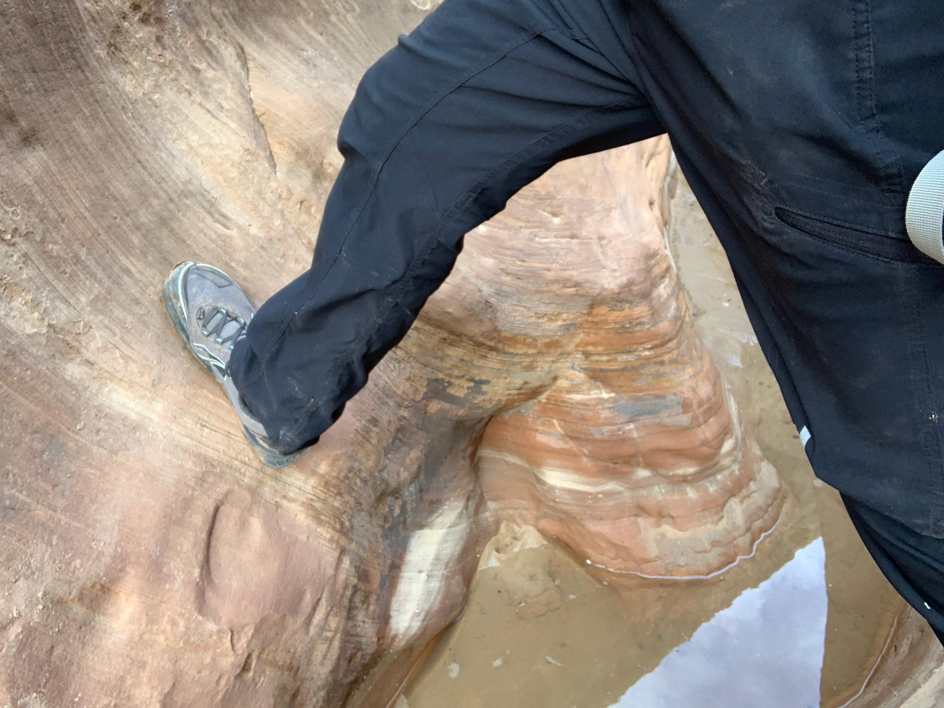
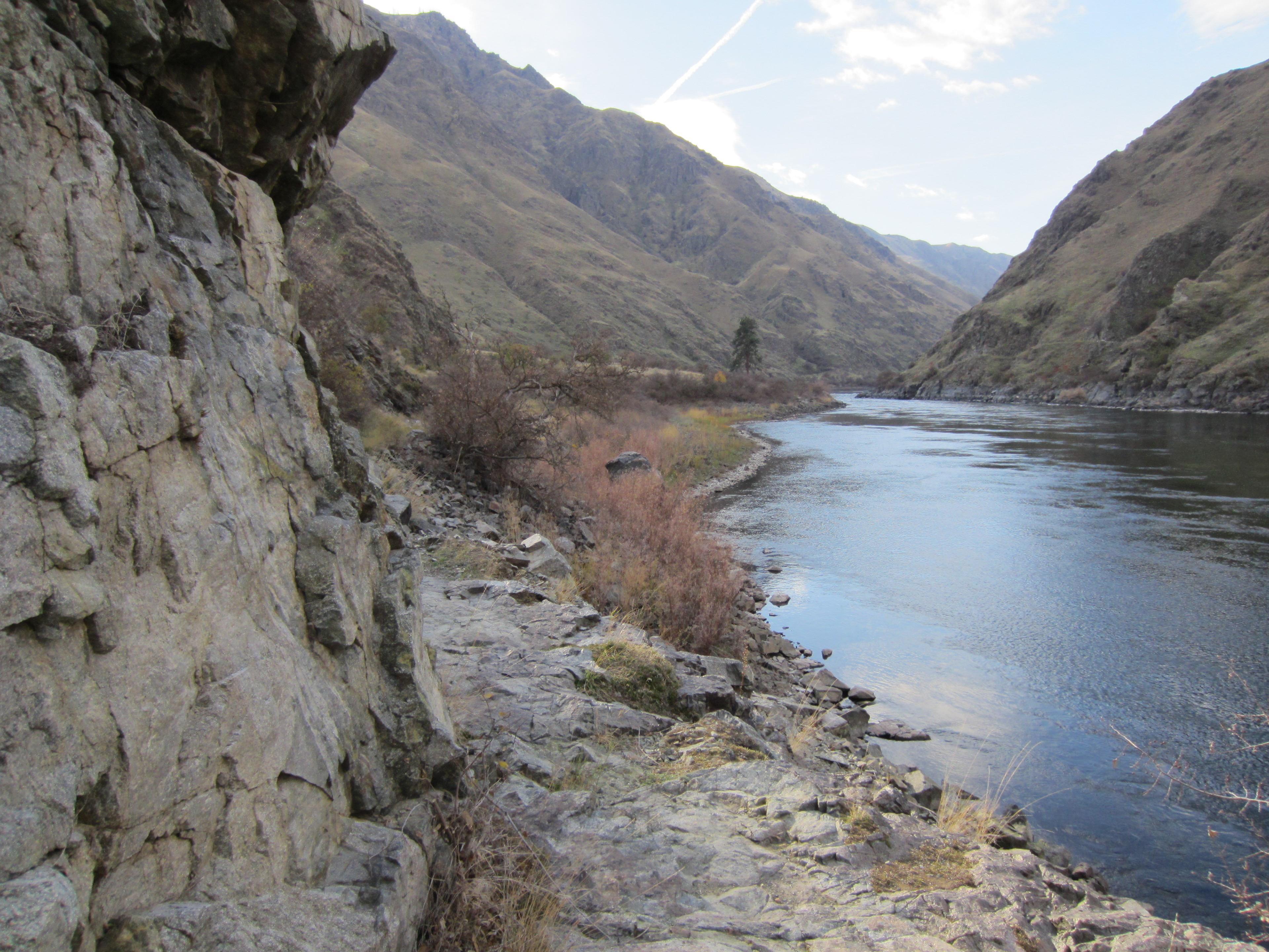
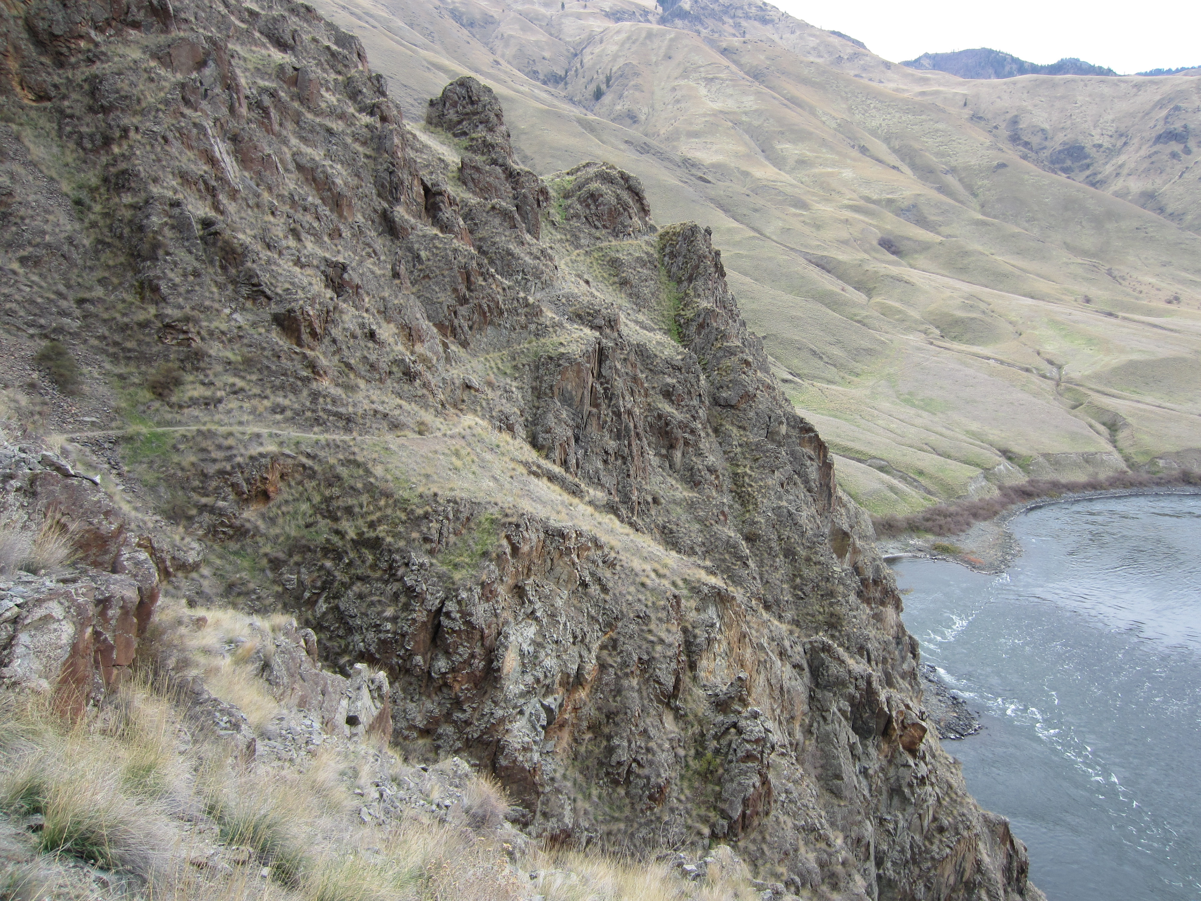
The trail is literally cut into the rock in some places. Though it is very narrow (about 1 foot wide in many places – see upcoming photos), it is easy to follow and was free of litter.
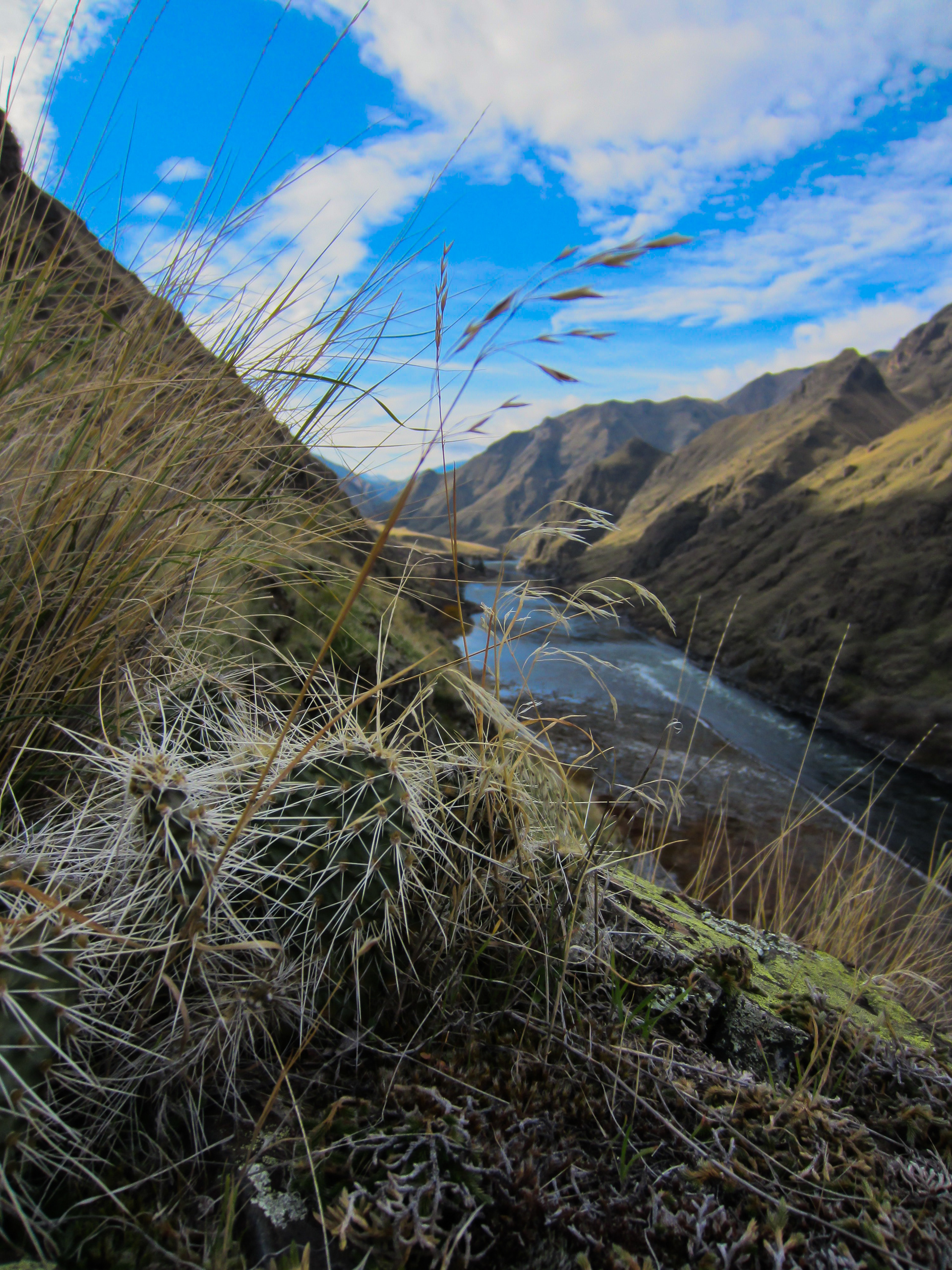
The area is reportedly pretty infested with rattlesnakes and poison ivy, but hiking in the fall or early spring helps avoid this. However, cacti are abundant.
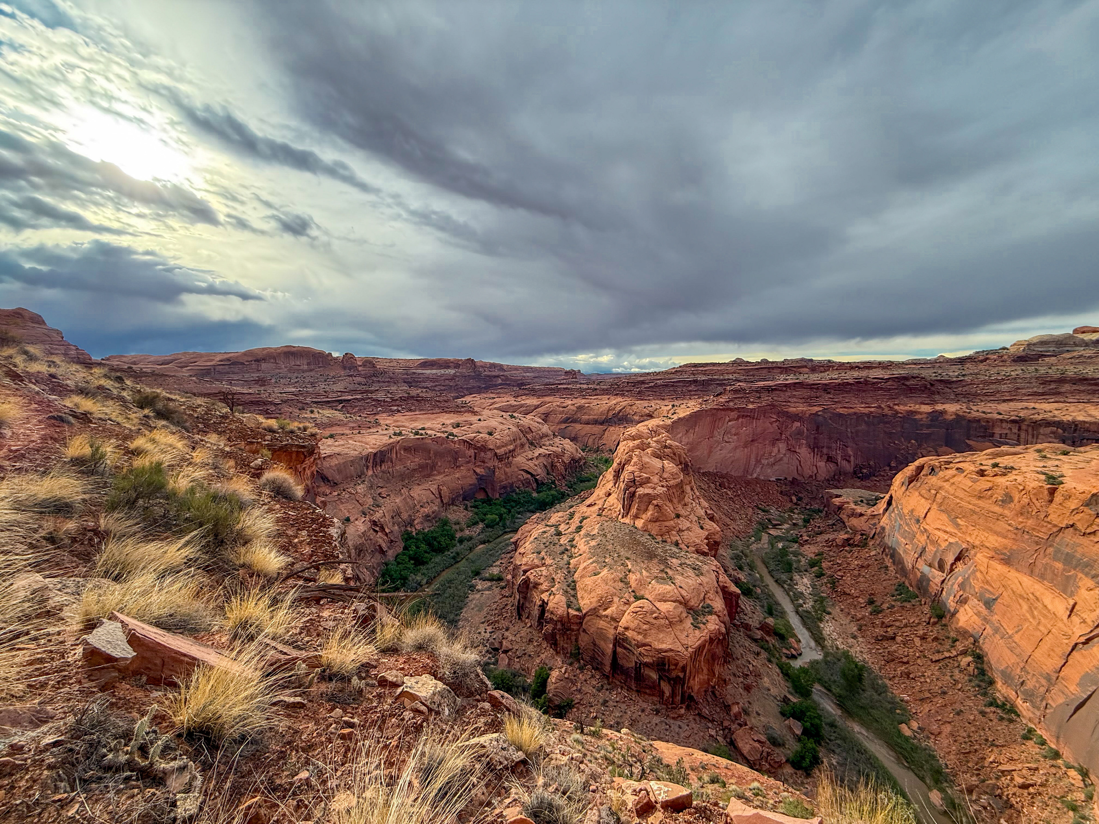
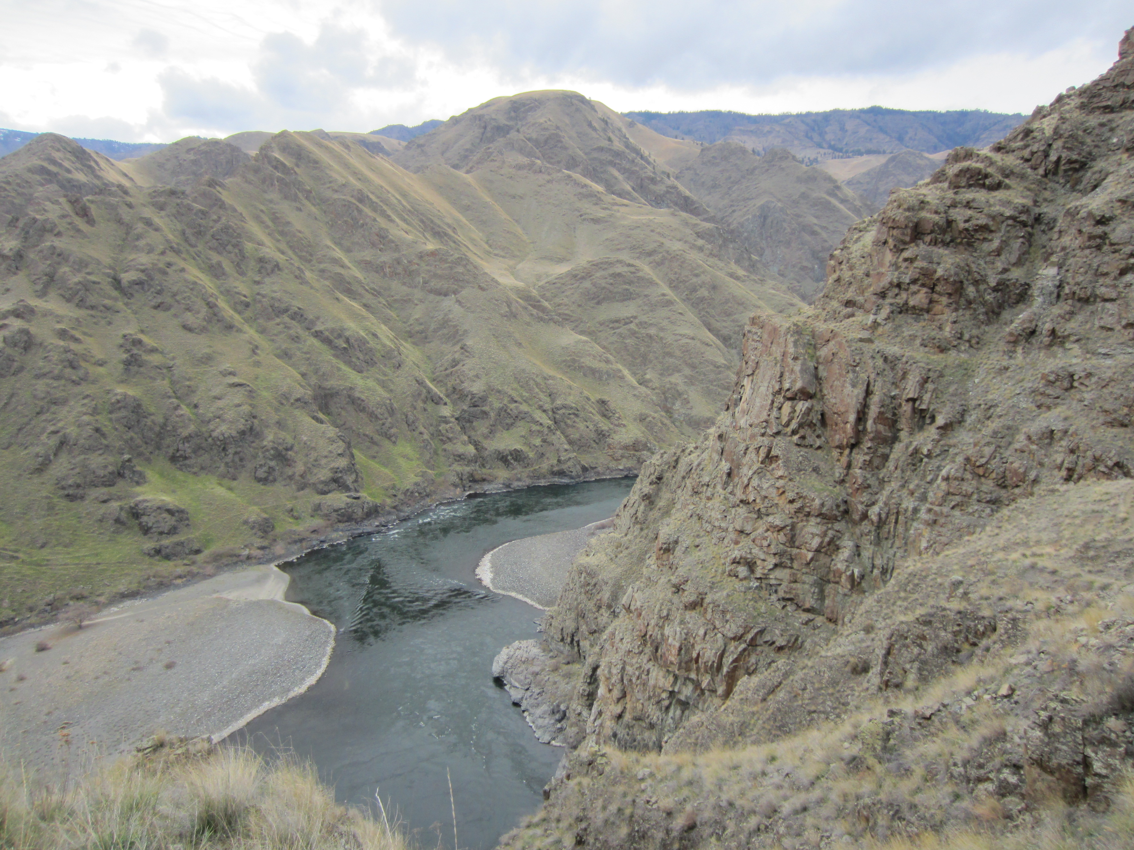
The trail meanders around with no real intense ups or downs for about 6 miles. In many places the steep hillside switches from rocks to grass covered slopes. Slipping down either would land you in the river in a hurry.
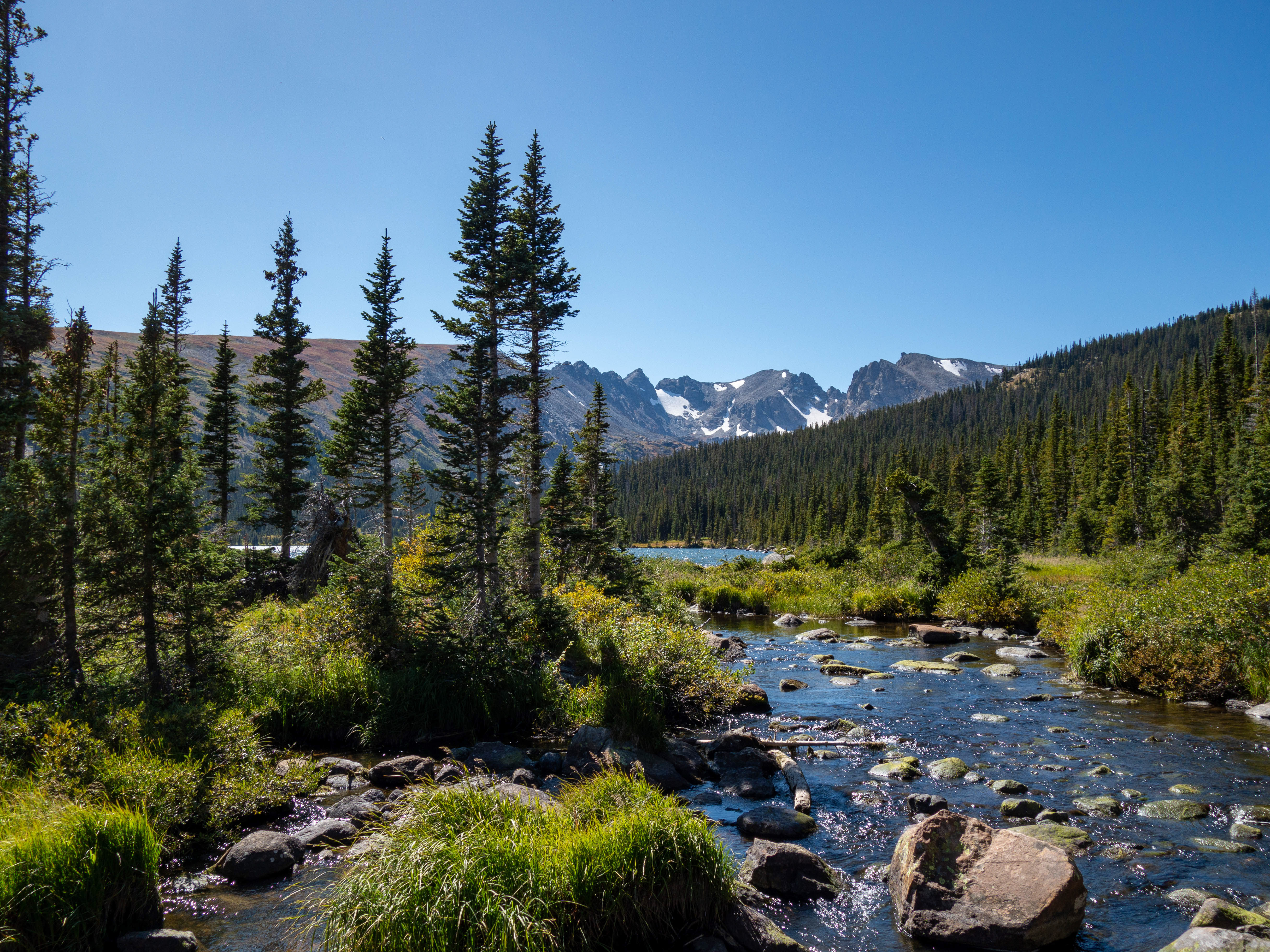
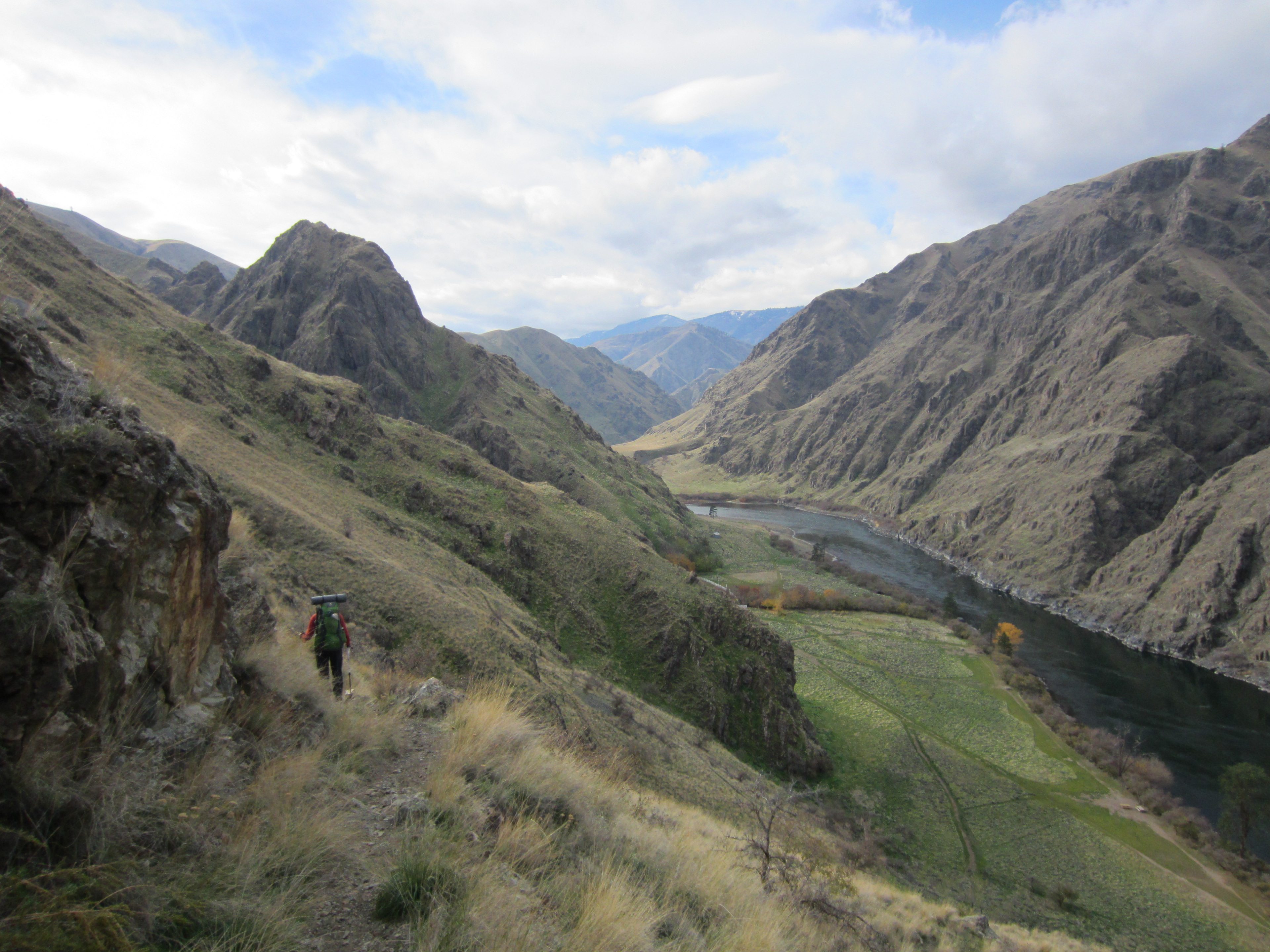
Just past the 6 mile mark, the trail drops steeply down to Kirkwood Ranch (north end of the ranch can be seen in the photo below).
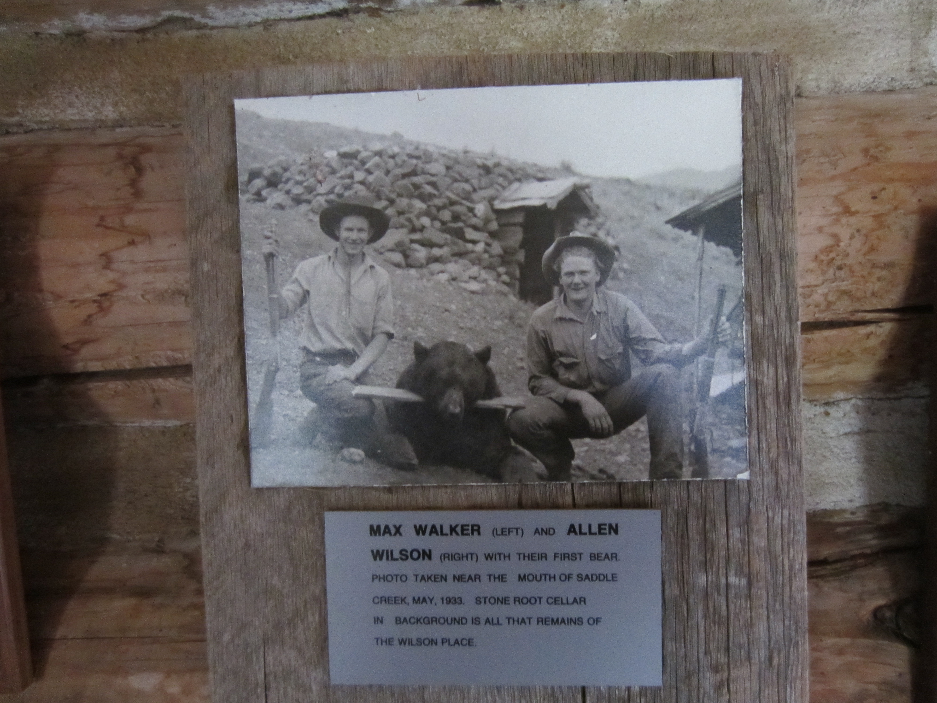
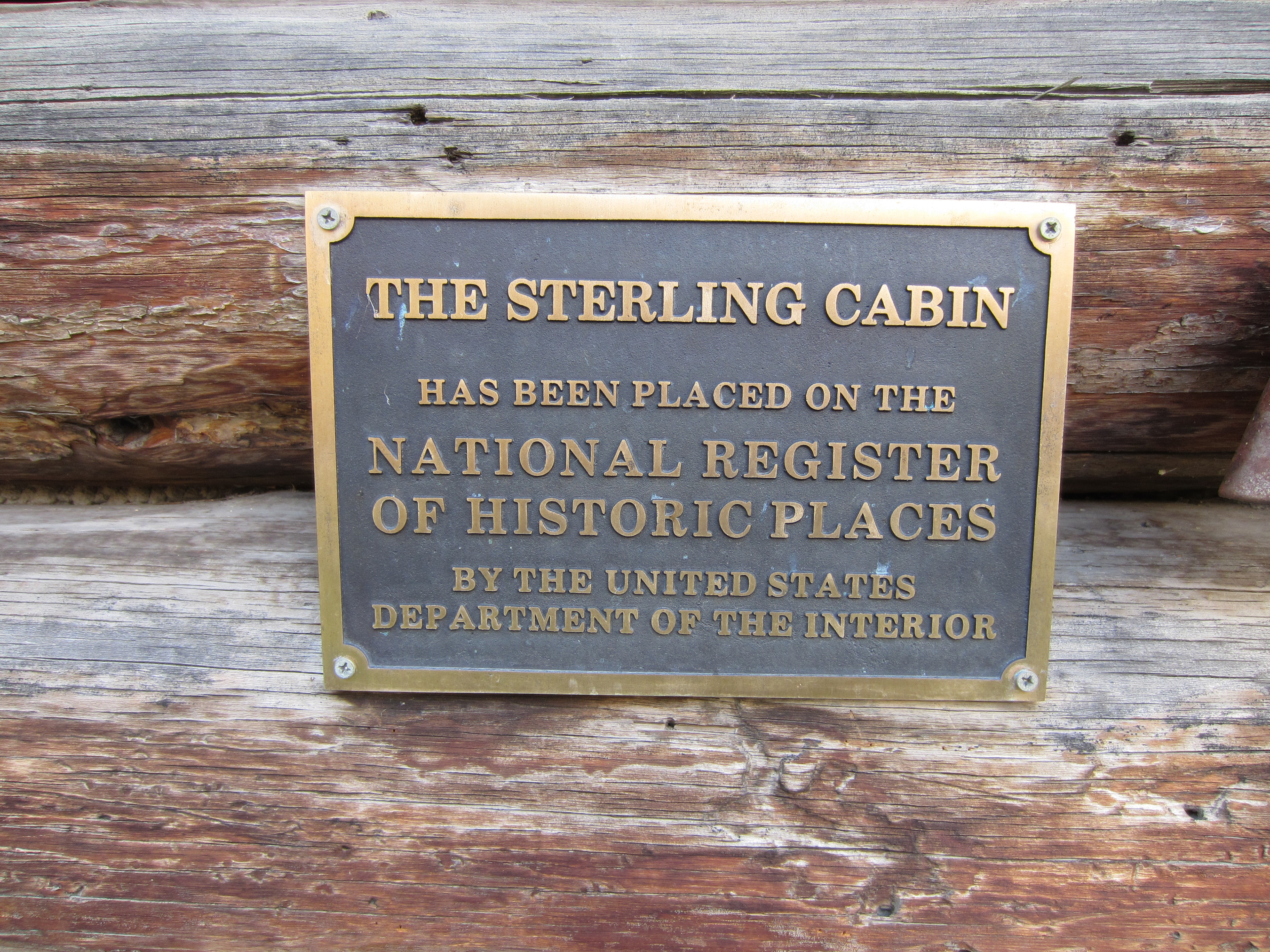
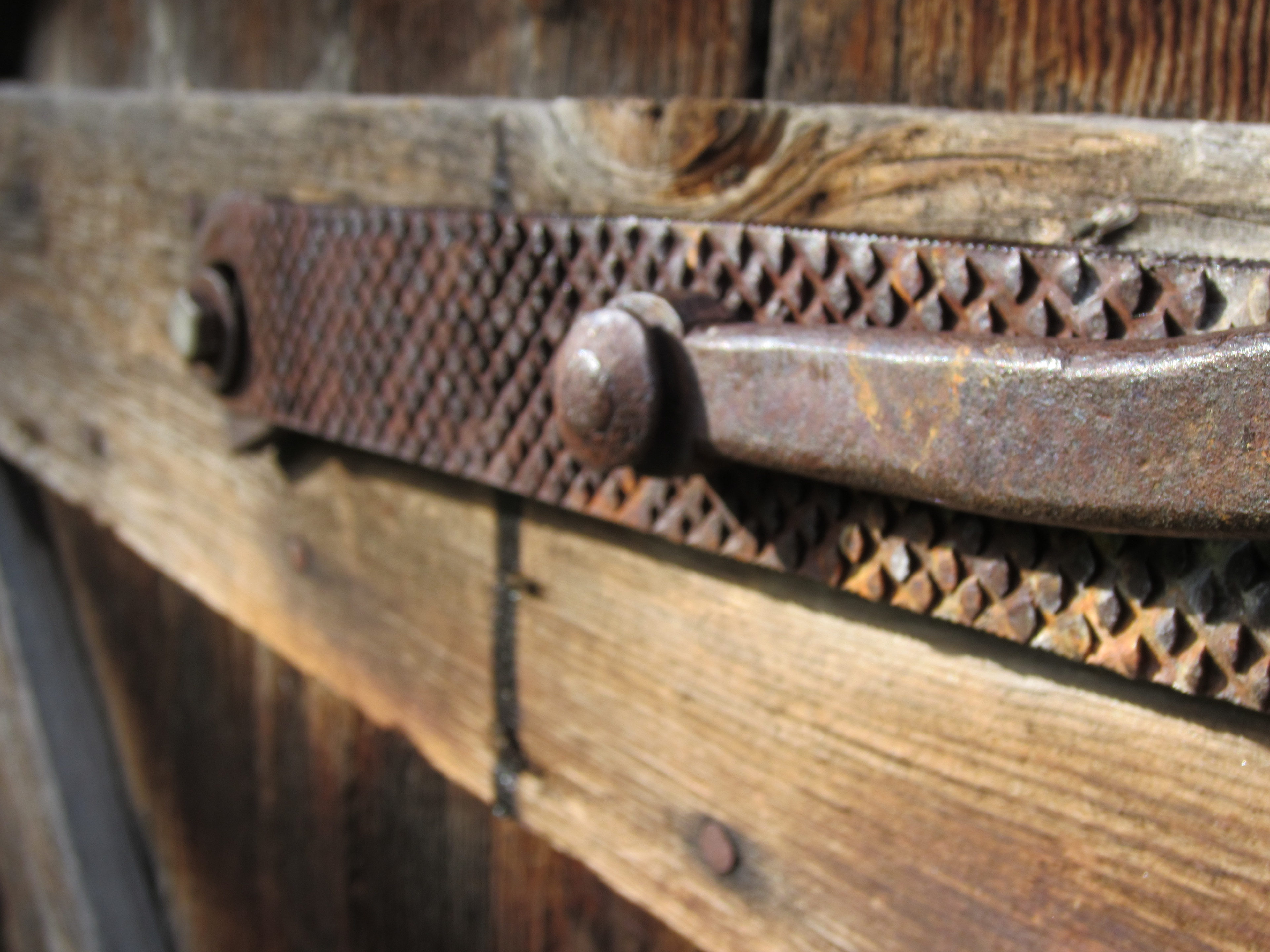
The Forest Service maintains a museum at Kirkwood Ranch. The area was originally settled around 1890. The Forest Service knows it has a good thing going and it is staffed year round with volunteers that are brought in by jet boat and who stay for a month at a time (no pay or food provided by the forest service). It even has a mailbox down by the river and gets mail by jet boat once per week. I would love to volunteer there in the winter months. It can see 200 visitors per day in the summer when large jet boats stop by while giving tours of Hell’s Canyon. The lady that works there in November was very kind and showed us all around. She has been volunteering there for at least 7 years. We checked out the museum on our way back out.
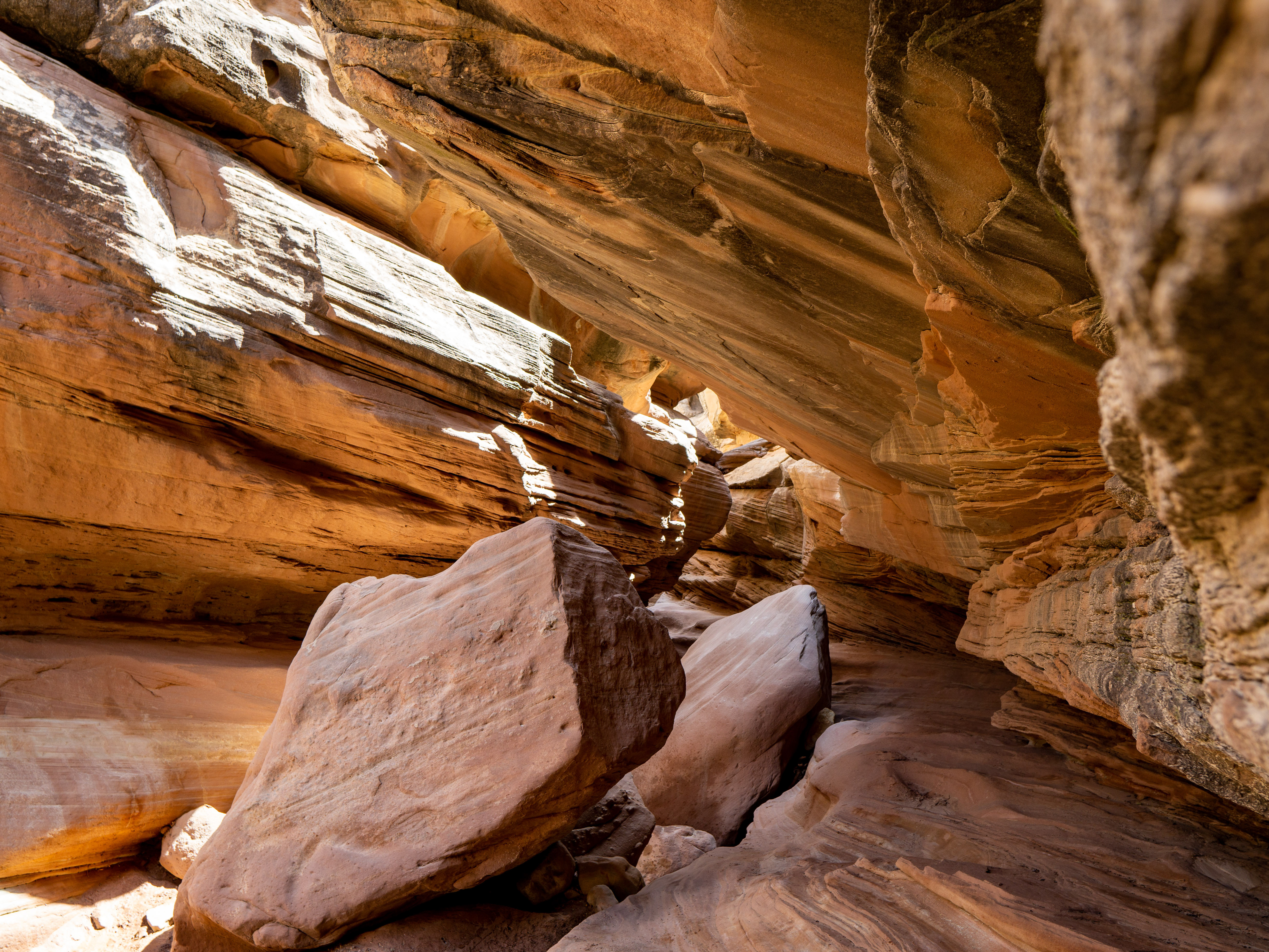
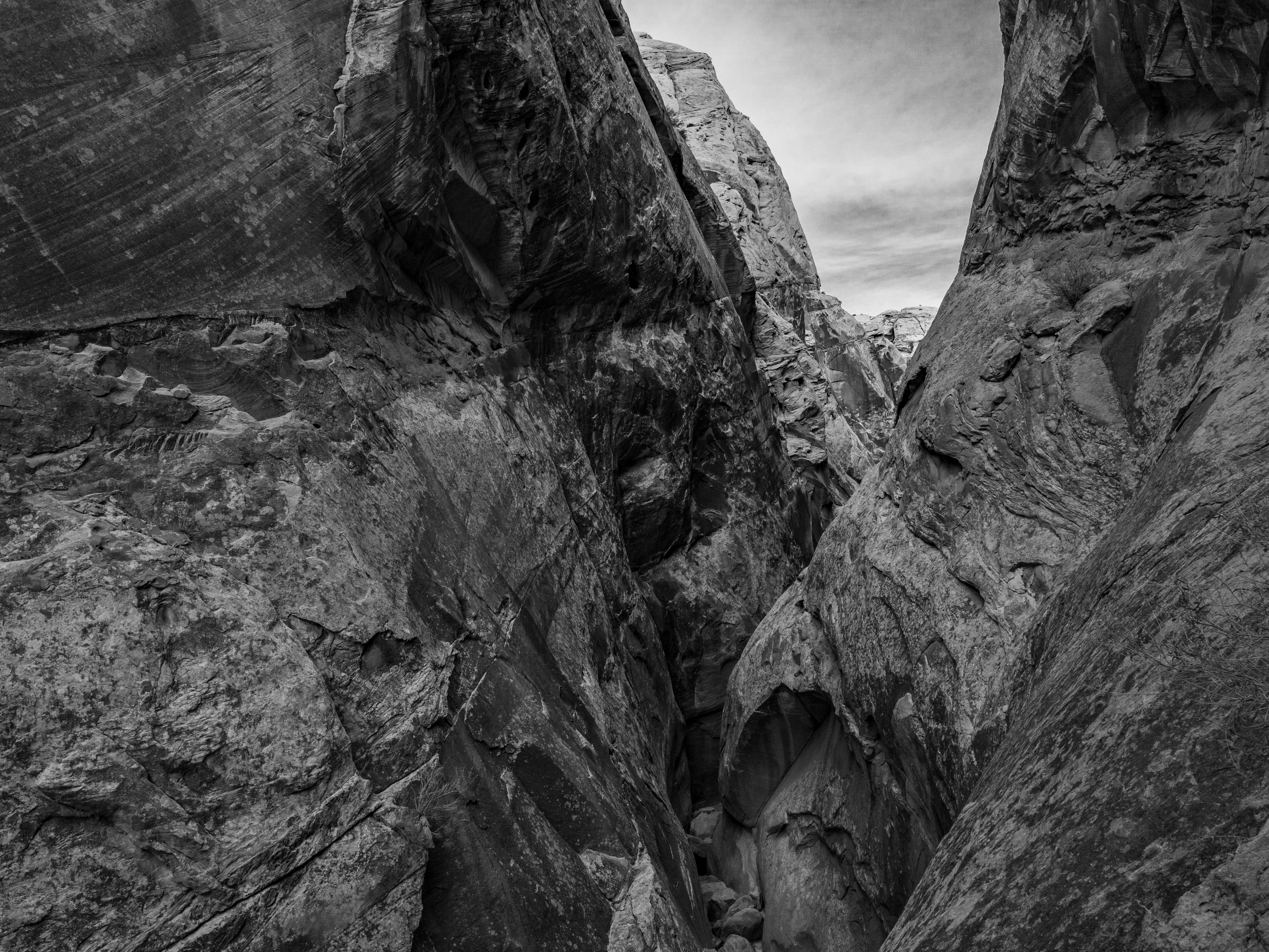
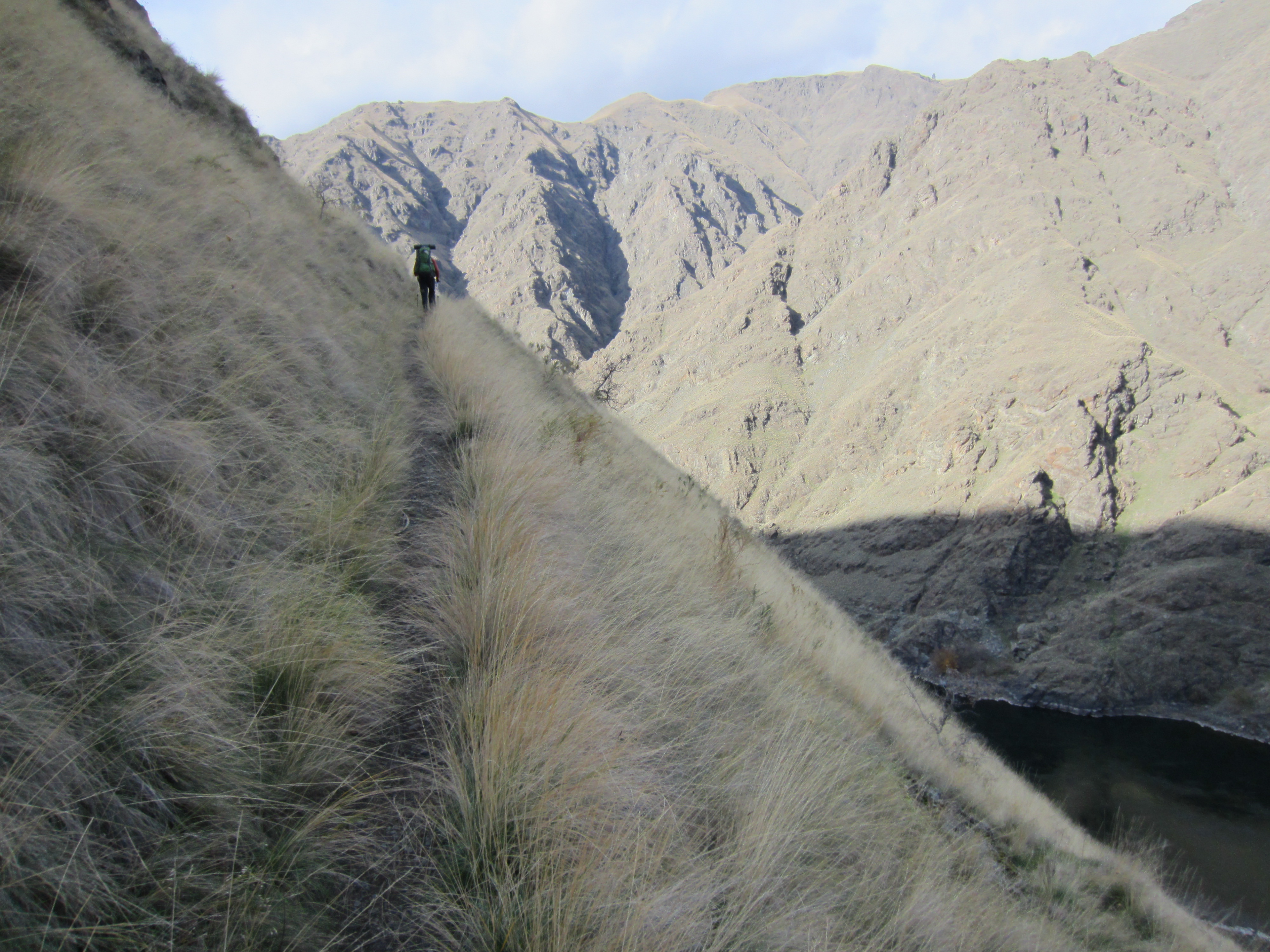
About a mile past Kirkwood, the trail starts climbing up the mountainside. While you can tell horses go in there, it is not somewhere I would feel comfortable on a horse. My wife probably wouldn’t appreciate taking the kids there either. You can see the faint outline of the trail in the photo below.
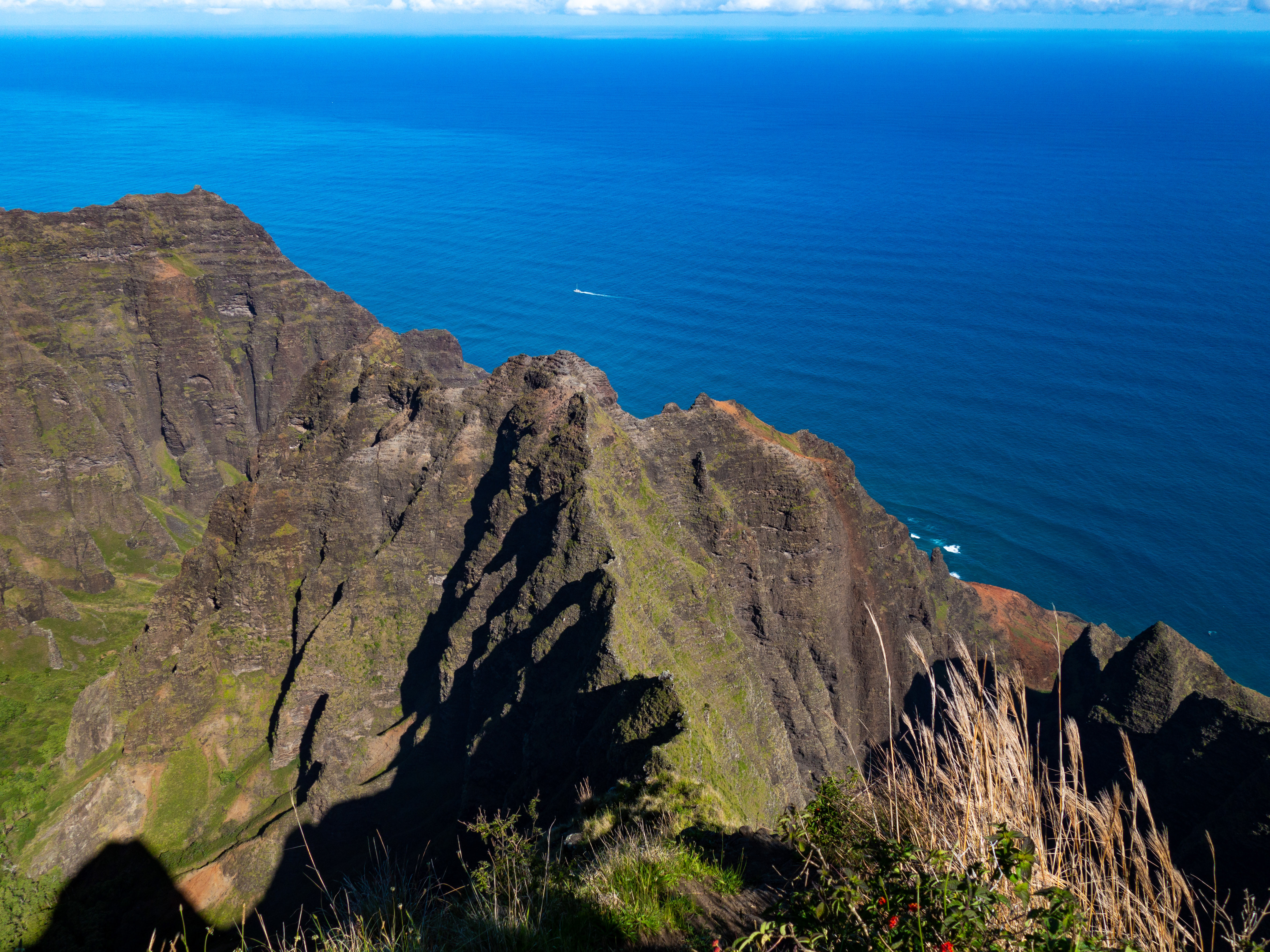
The major highlight after Kirkwood Ranch is Suicide Point, which supposedly received its name from a Romeo and Juliet type love story of two Native Americans from different tribes. The images barely do it justice.
After the ruggedness of Suicide Point, the trail drops down to a large grassy field that goes on for about a mile. It isn’t as exotic, but makes for a little more relaxed hiking.
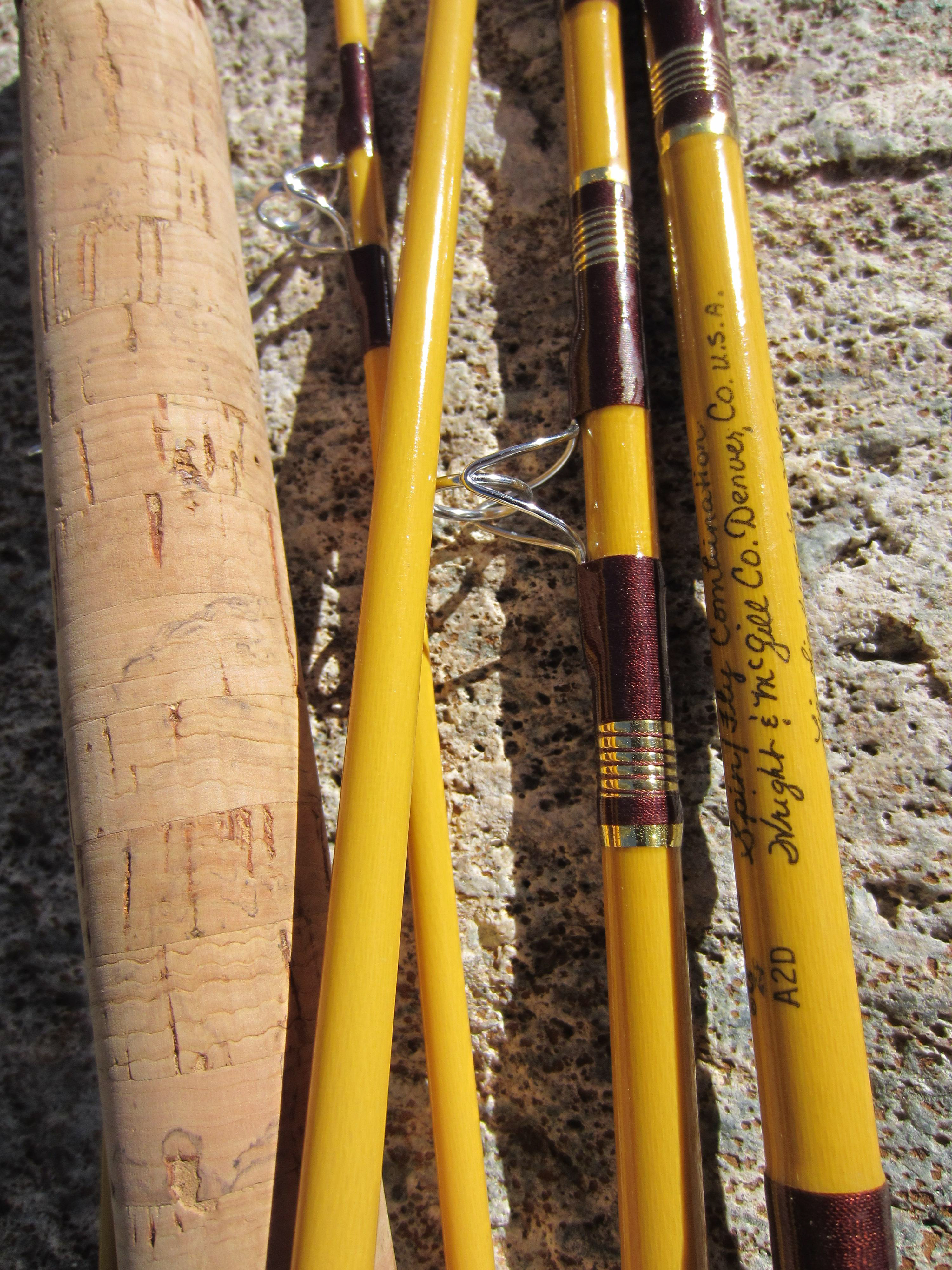
My former boss and long-time mentor, Jerry, gave me three fishing poles a few weeks ago as he was downsizing (I’m sure he still has about 15 others!). I took one of those on this trip. It was an old 6-piece “Spin/Fly Combination” rod made by Wright and McGill.
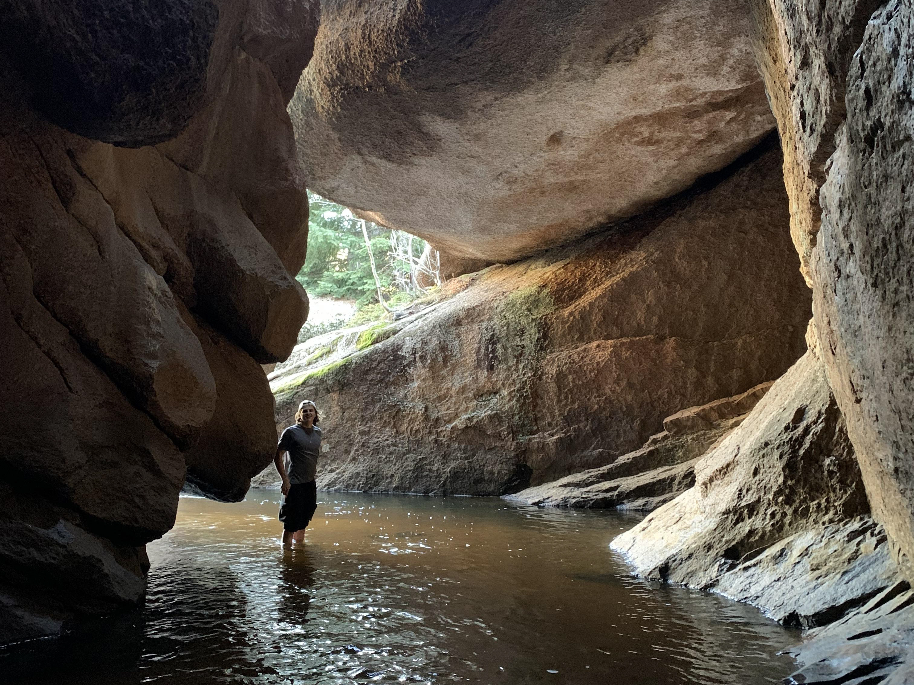
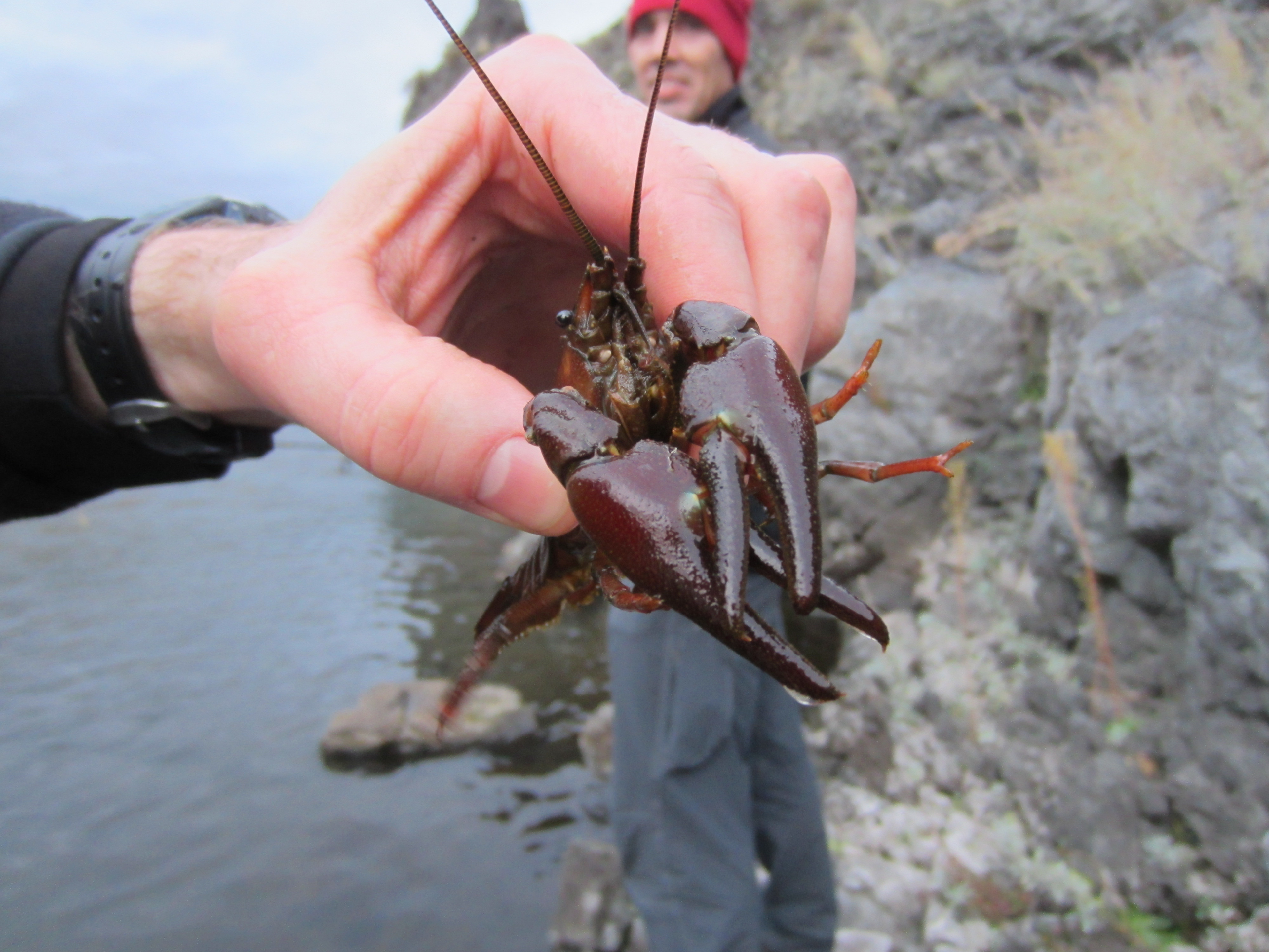
After getting camp set up, we made our way down the steep hillside to the Snake River. The 6’-9” rod worked great and was a joy to use. I caught a nice rainbow trout and several small mouth bass. The trout unfortunately ended up bleeding out his gills and had to be kept. Steve had brought along some tinfoil and salt and pepper, so we cooked it up on a bed of coals. There was enough for all 3 of us.
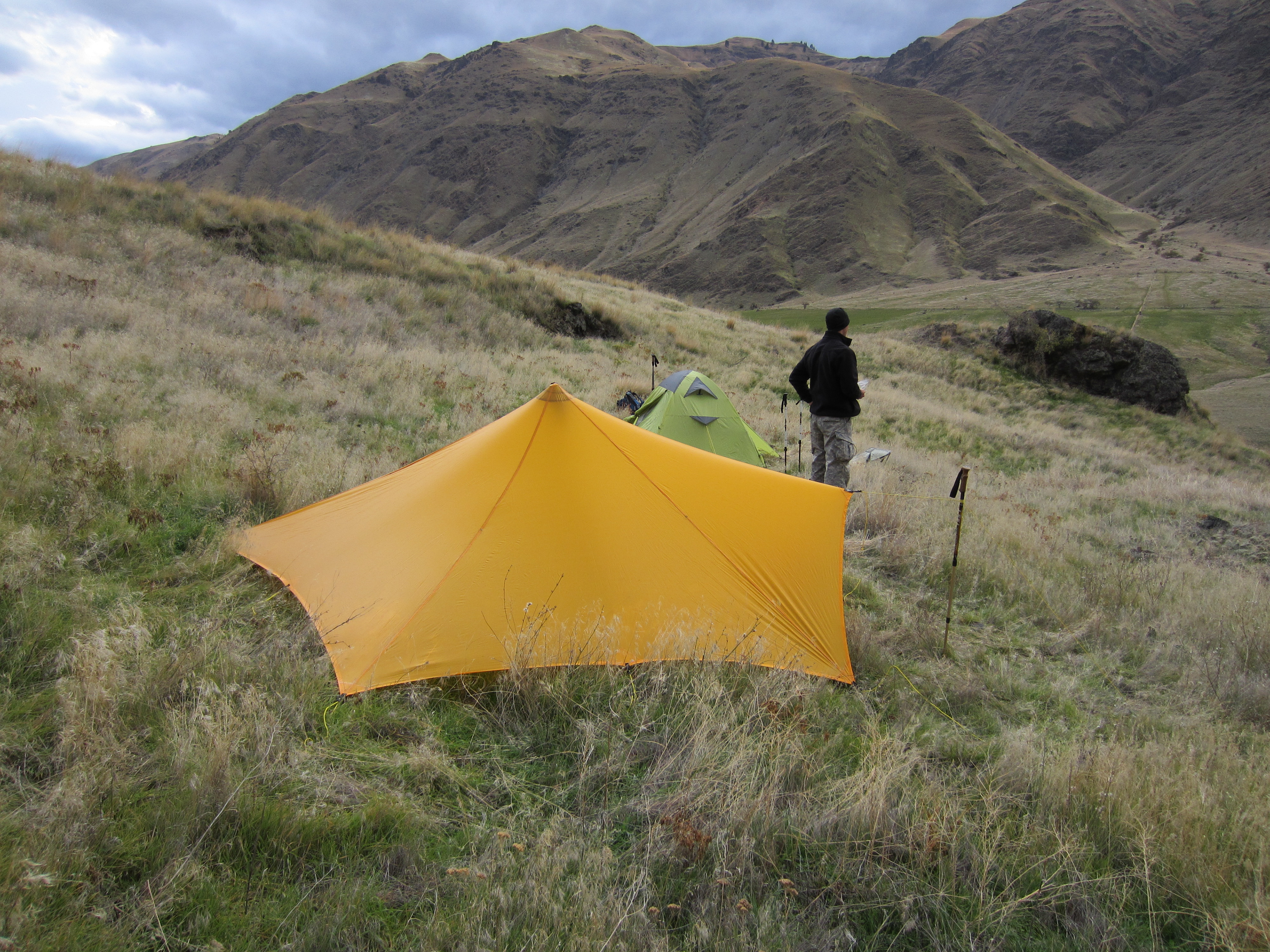
It rained quite a bit during the night and was pretty windy. The nearby mountains received a few inches of snow overnight as well. After breakfast under the Trailstar to stay out of the wind, we packed up and hiked back to Pittsburg Landing. Round trip was about 22 miles. This is an amazing area to visit and is accessible by jet boat or by foot.