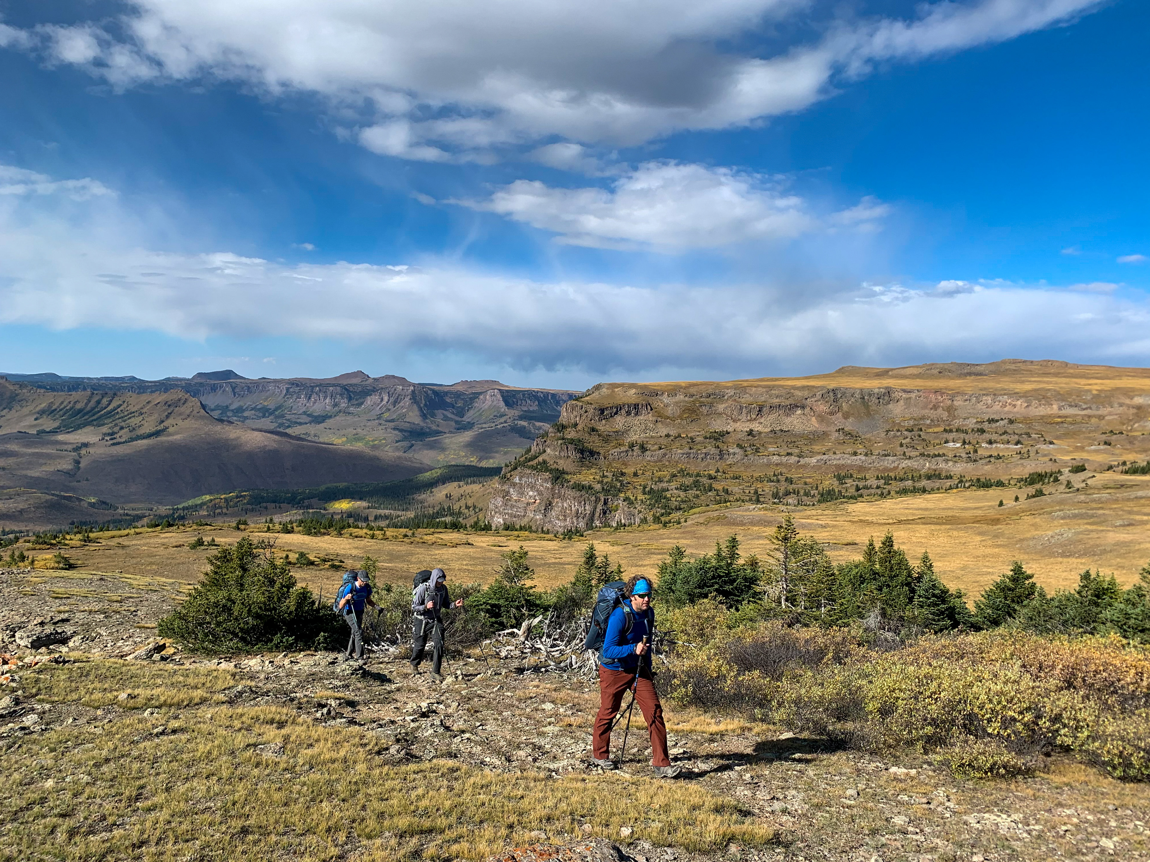
Date: September 16-18, 2021
Location: Flat Tops Wilderness Area
Distance: 34 miles
Elevation Change: 7300 feet up and back down
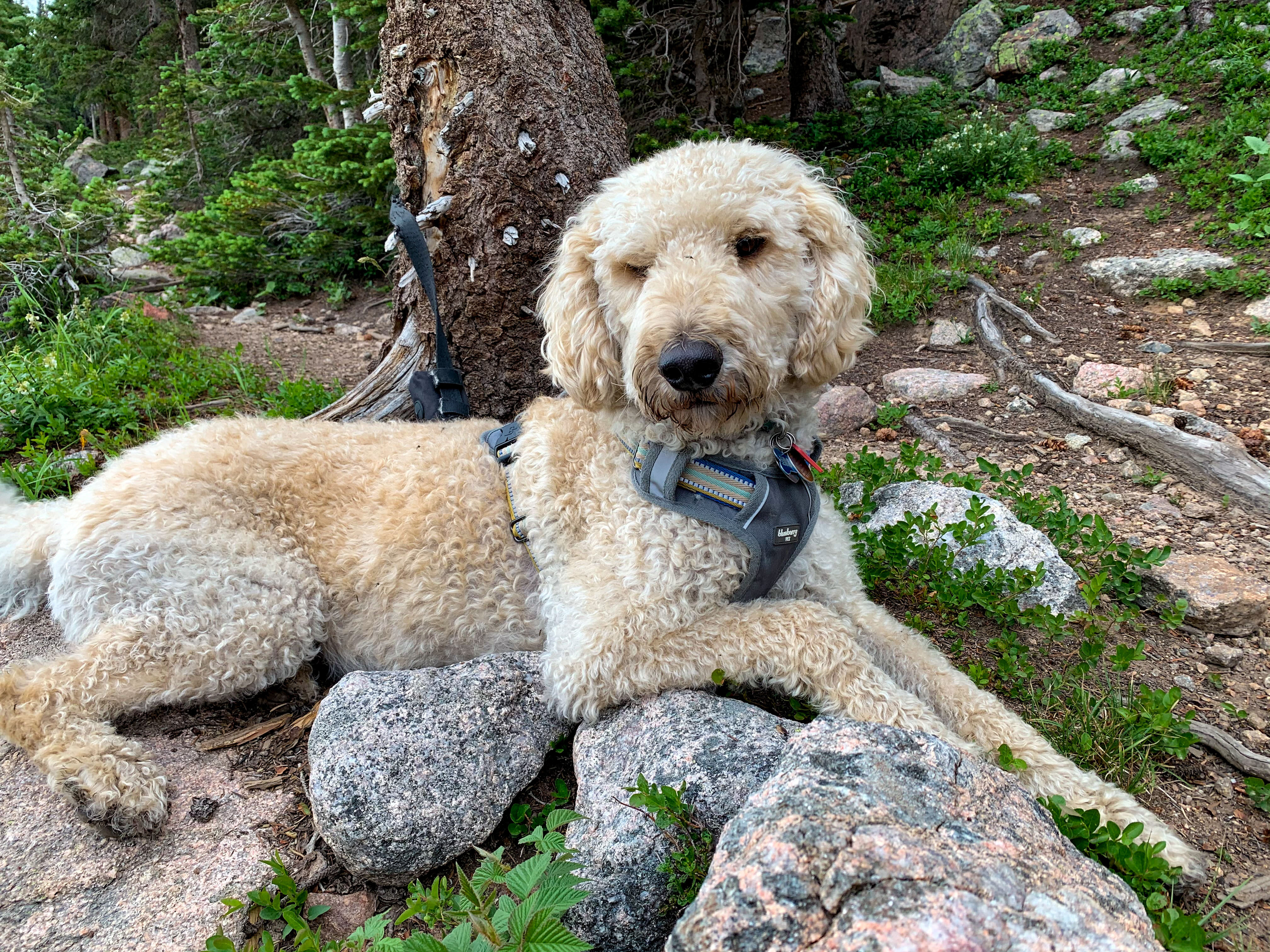
Group: Tyler, Greg, Josh, and Mat
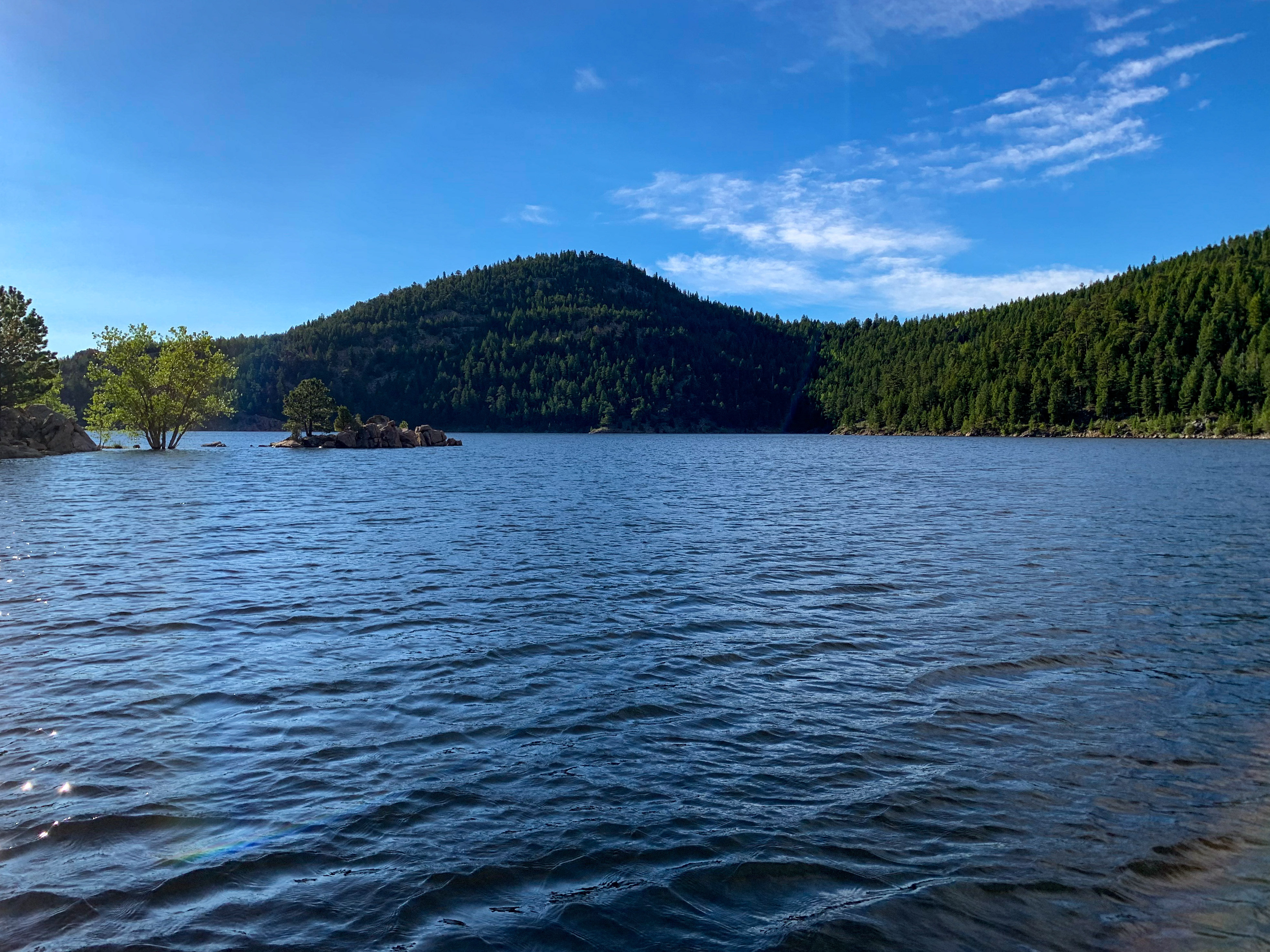
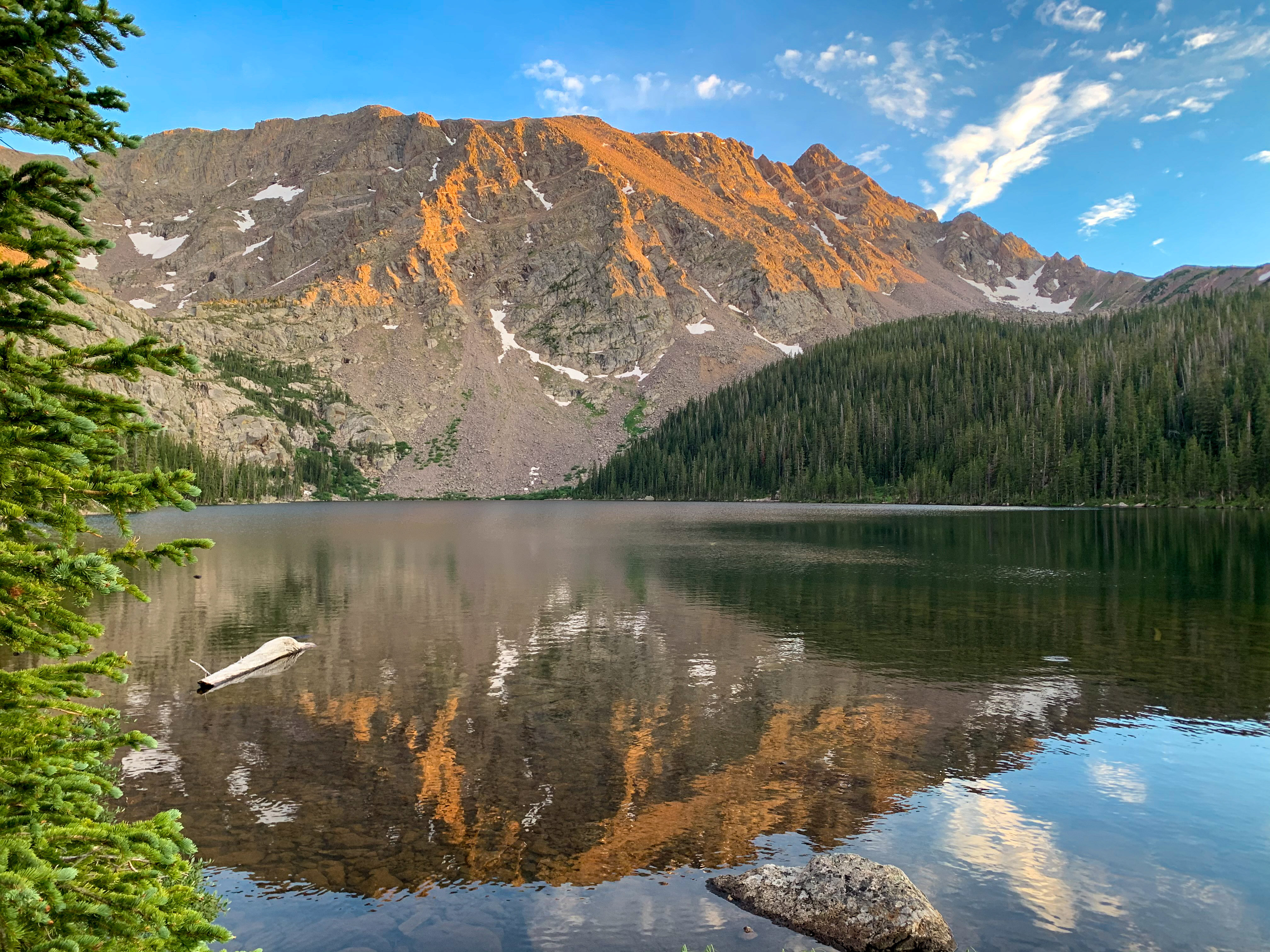
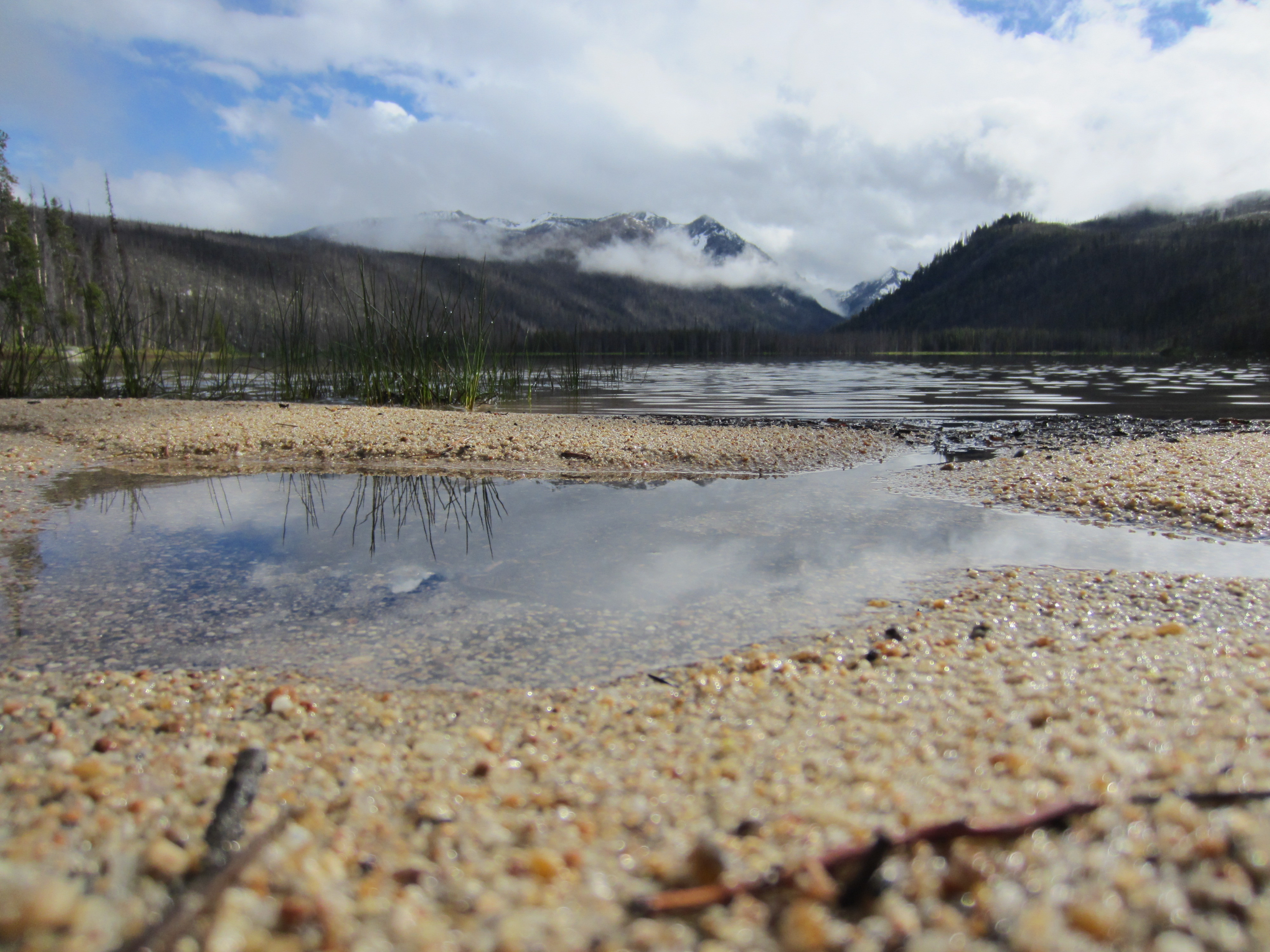
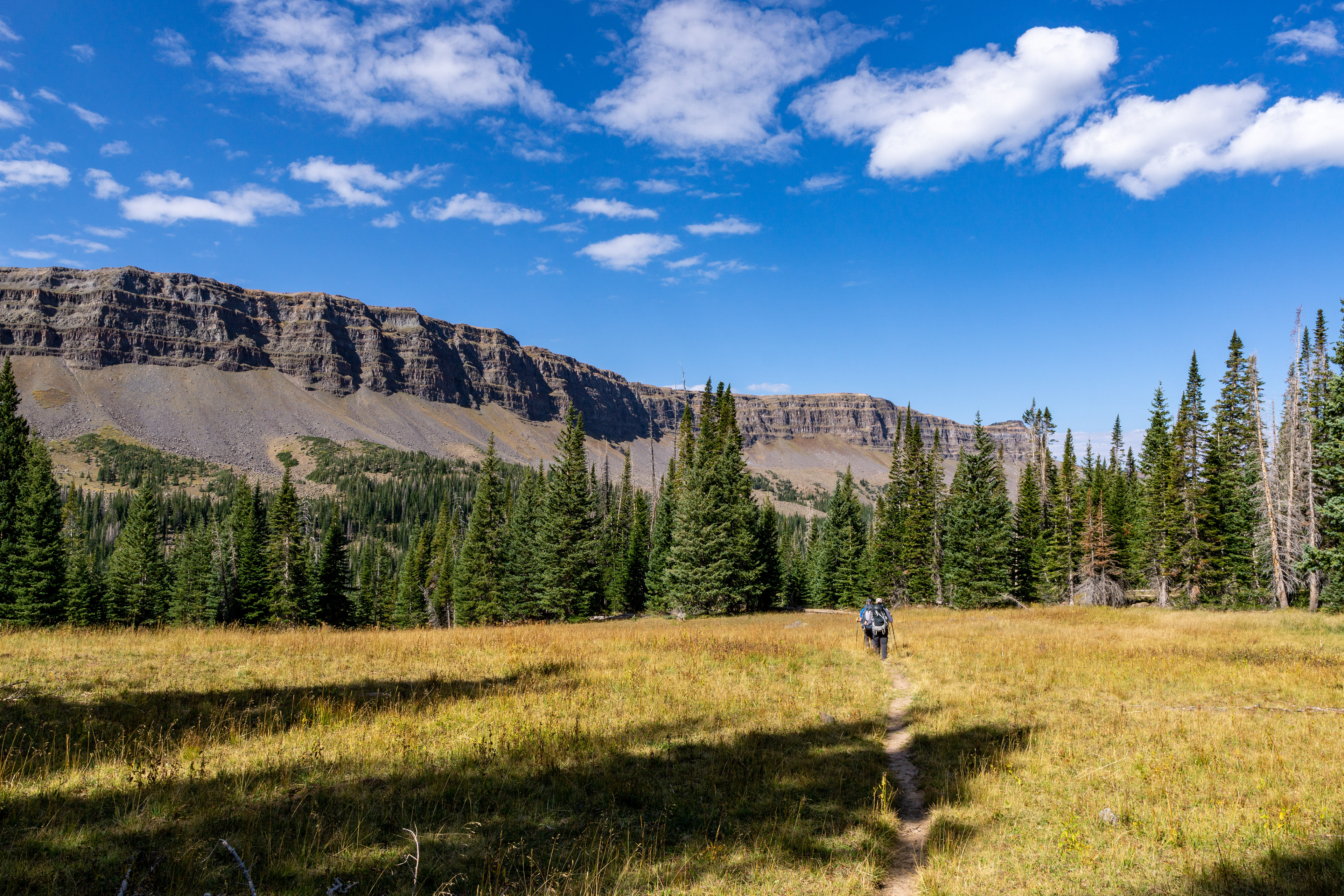
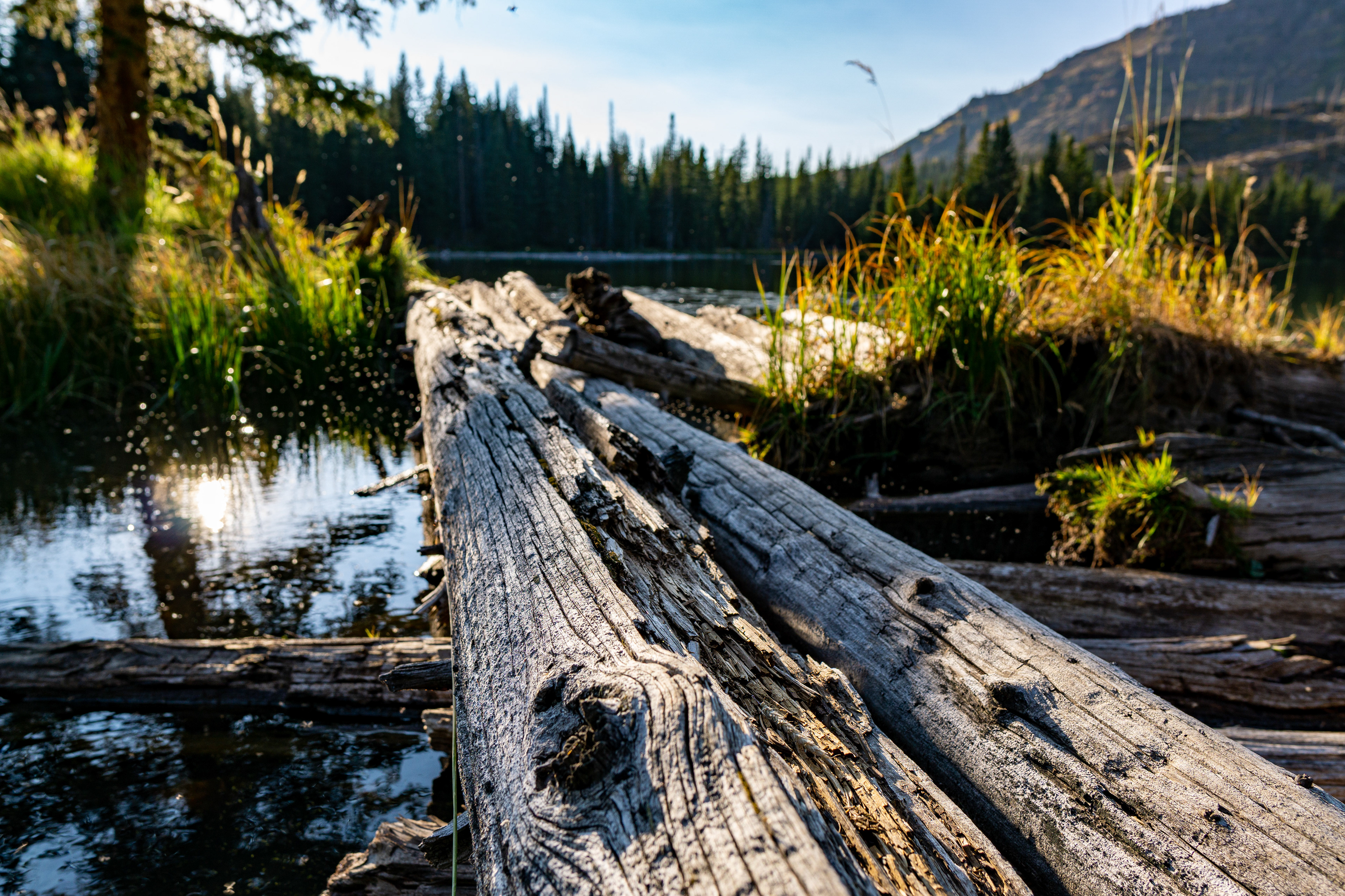
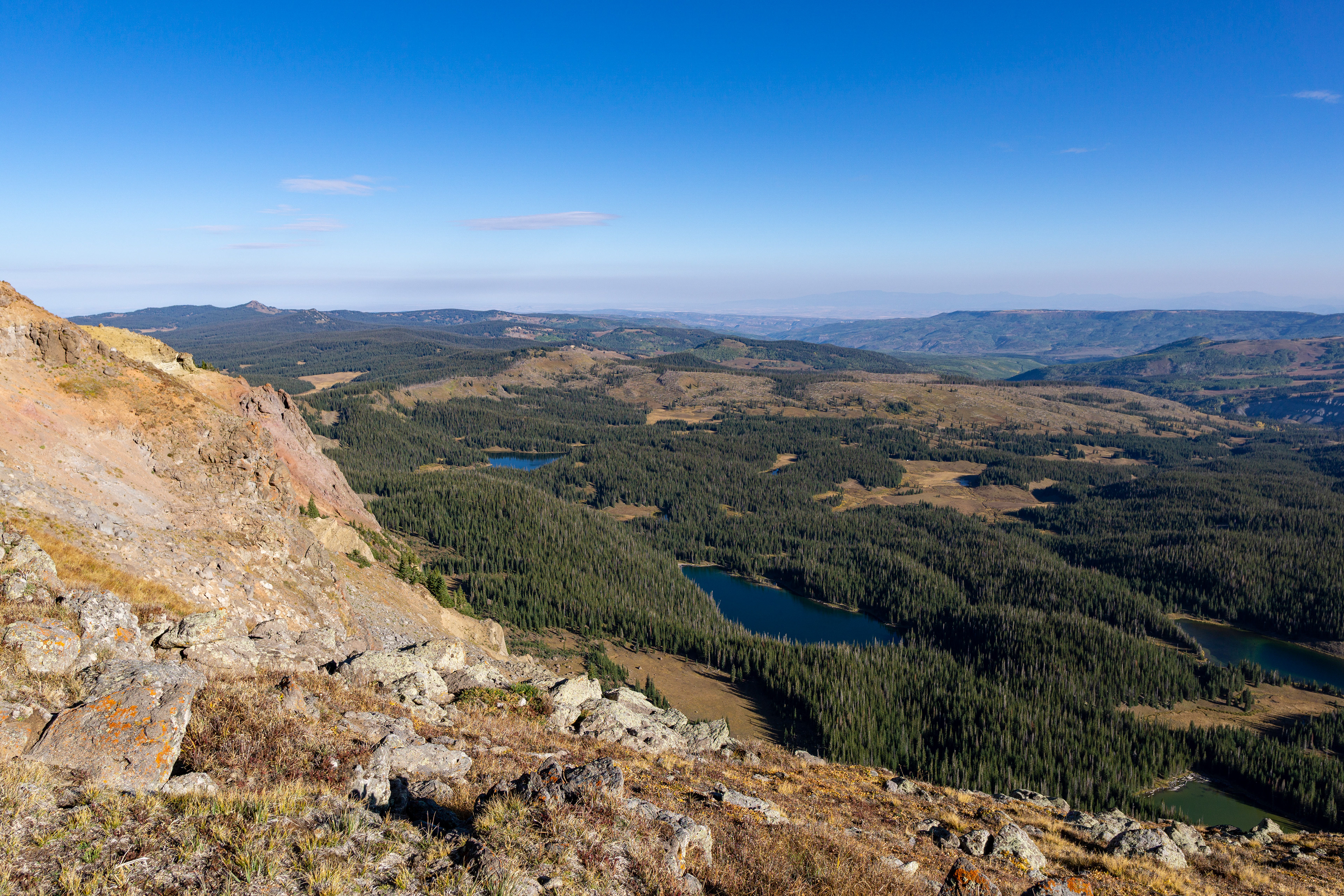
The Forest Service says there are about 110 lakes or ponds in this unique and beautiful wilderness area. We started out near a popular trailhead, climbed to a saddle (after which we didn't see another person for almost 20 miles), and then dropped down among some of the lakes.
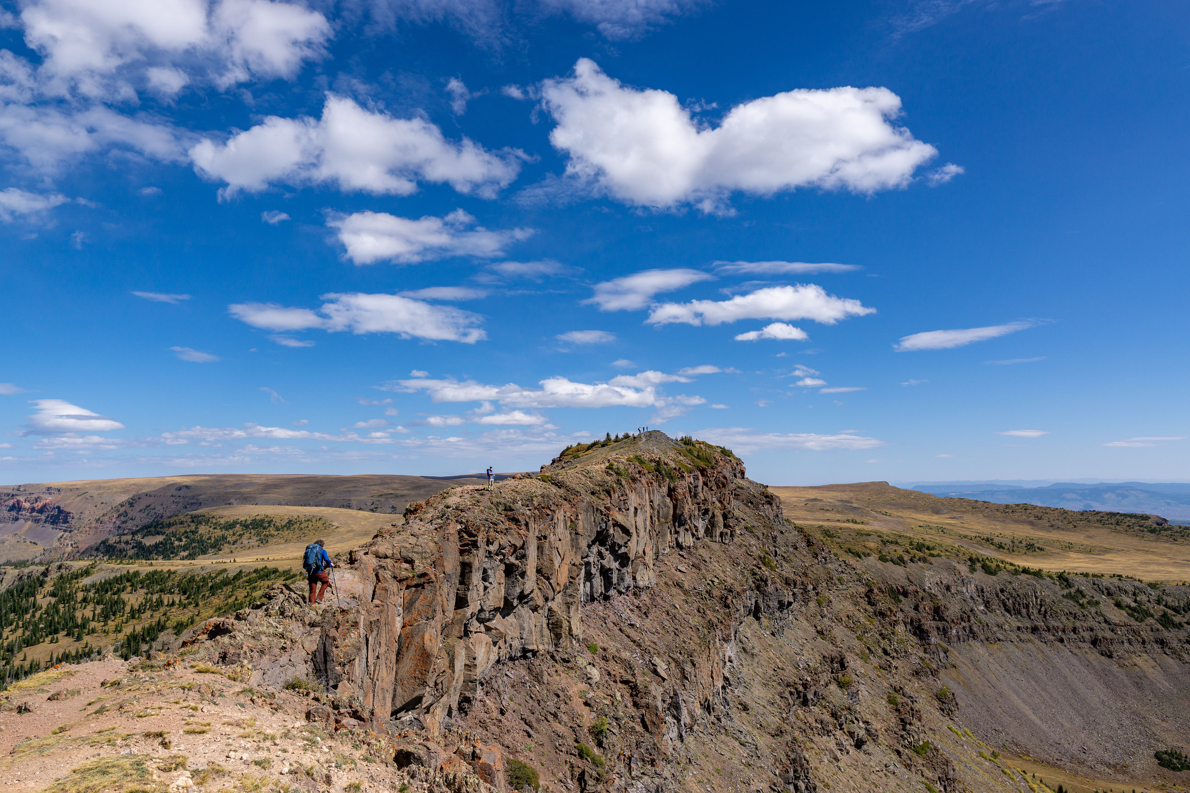
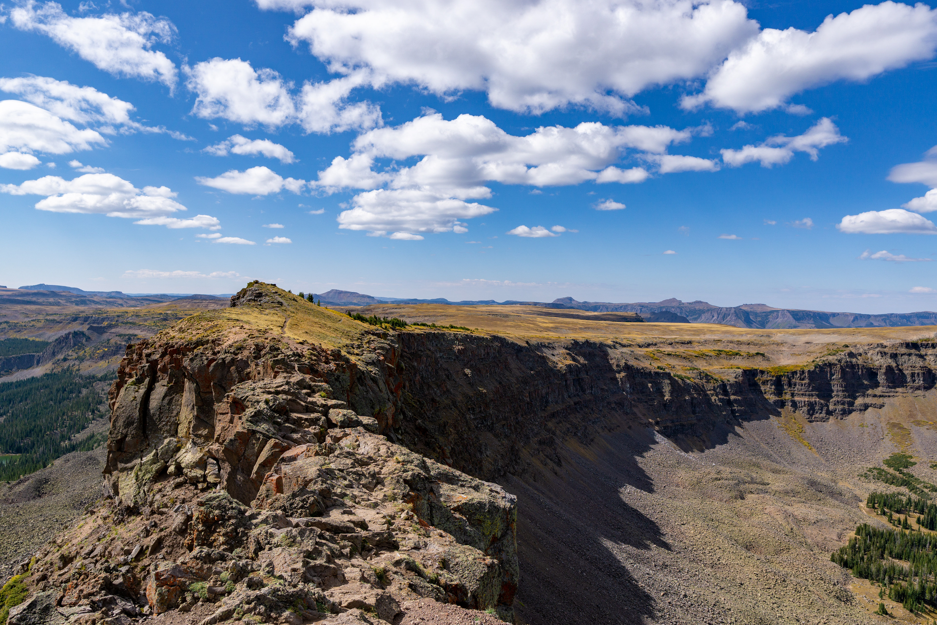
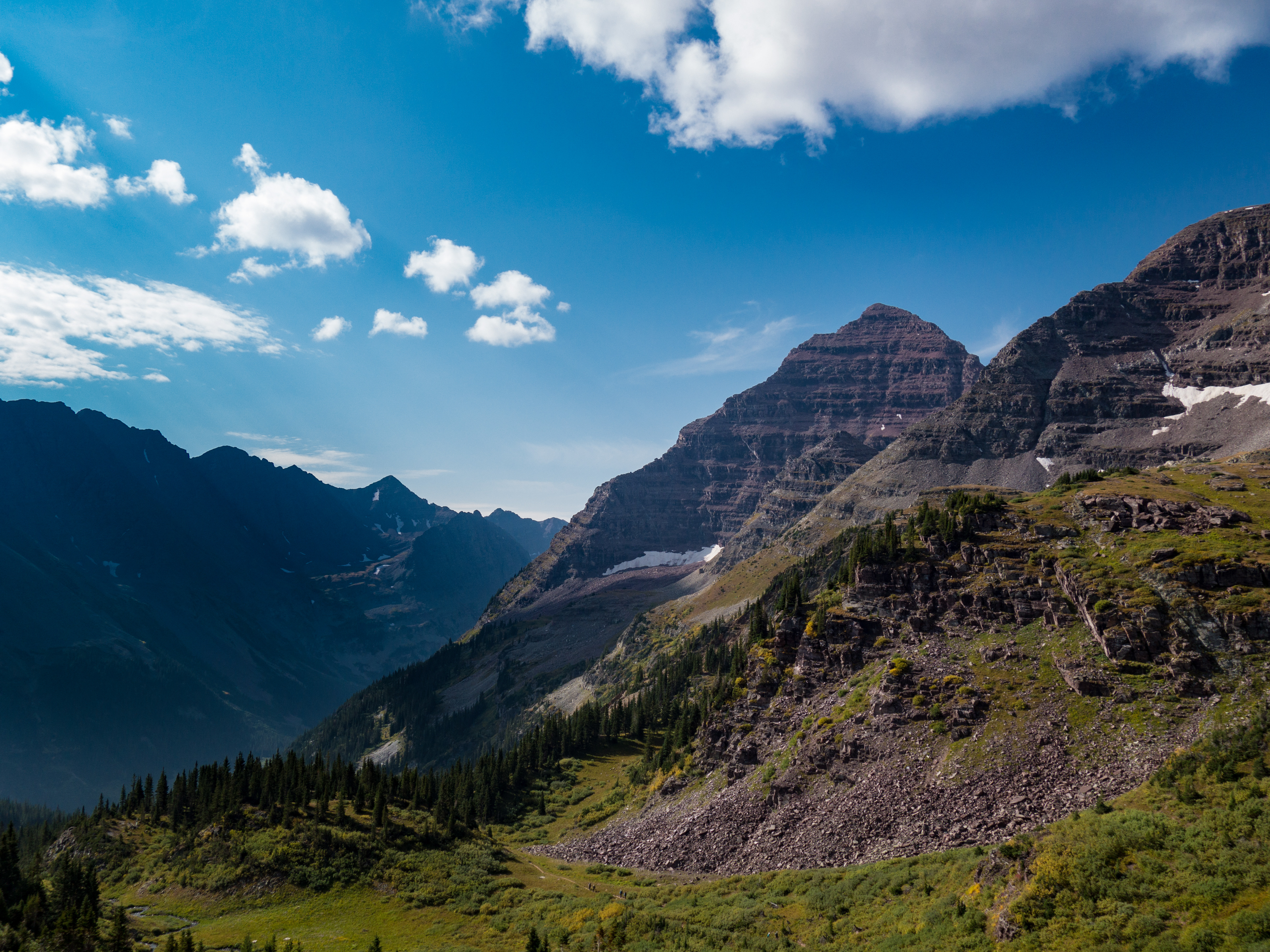
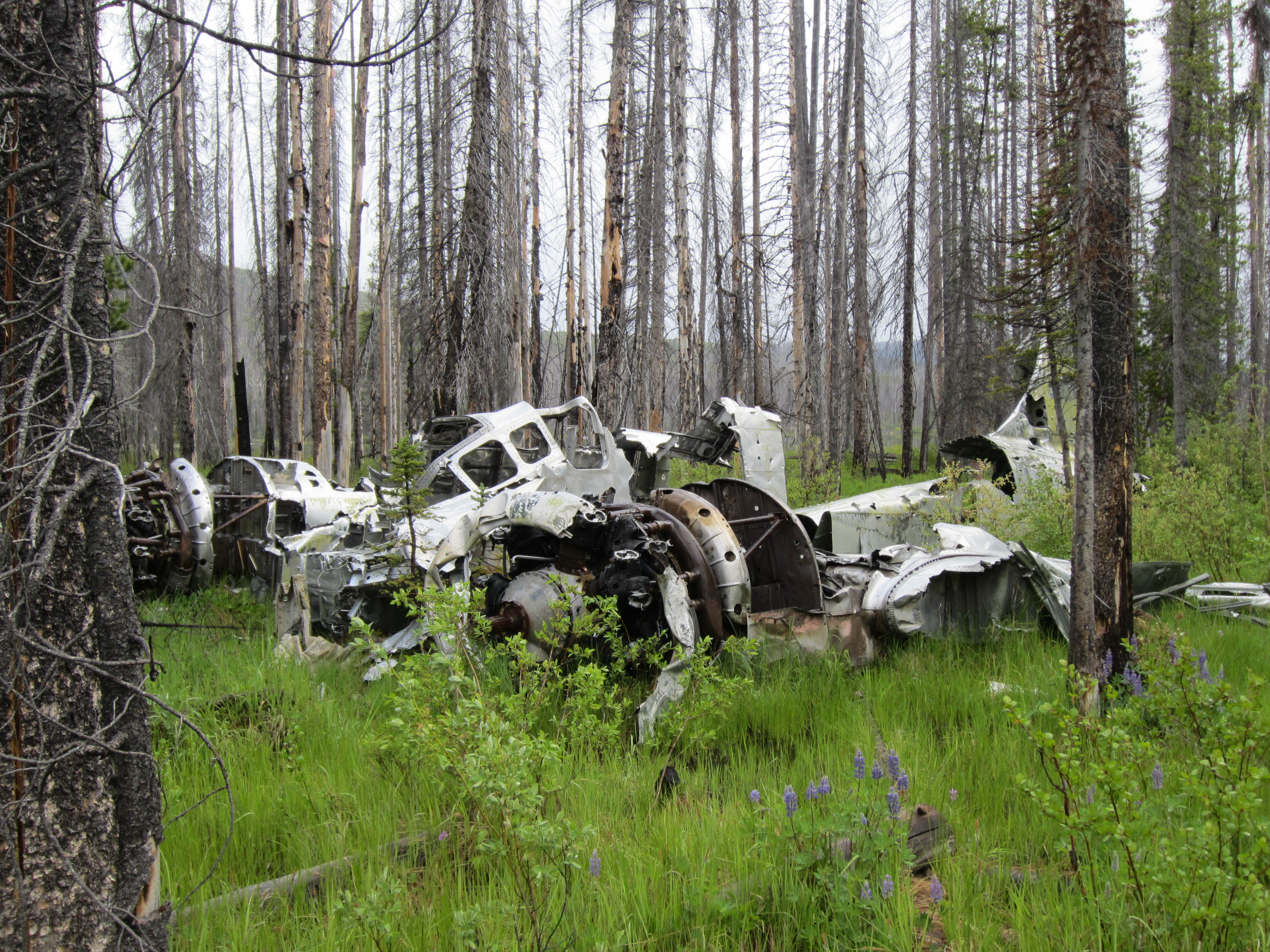
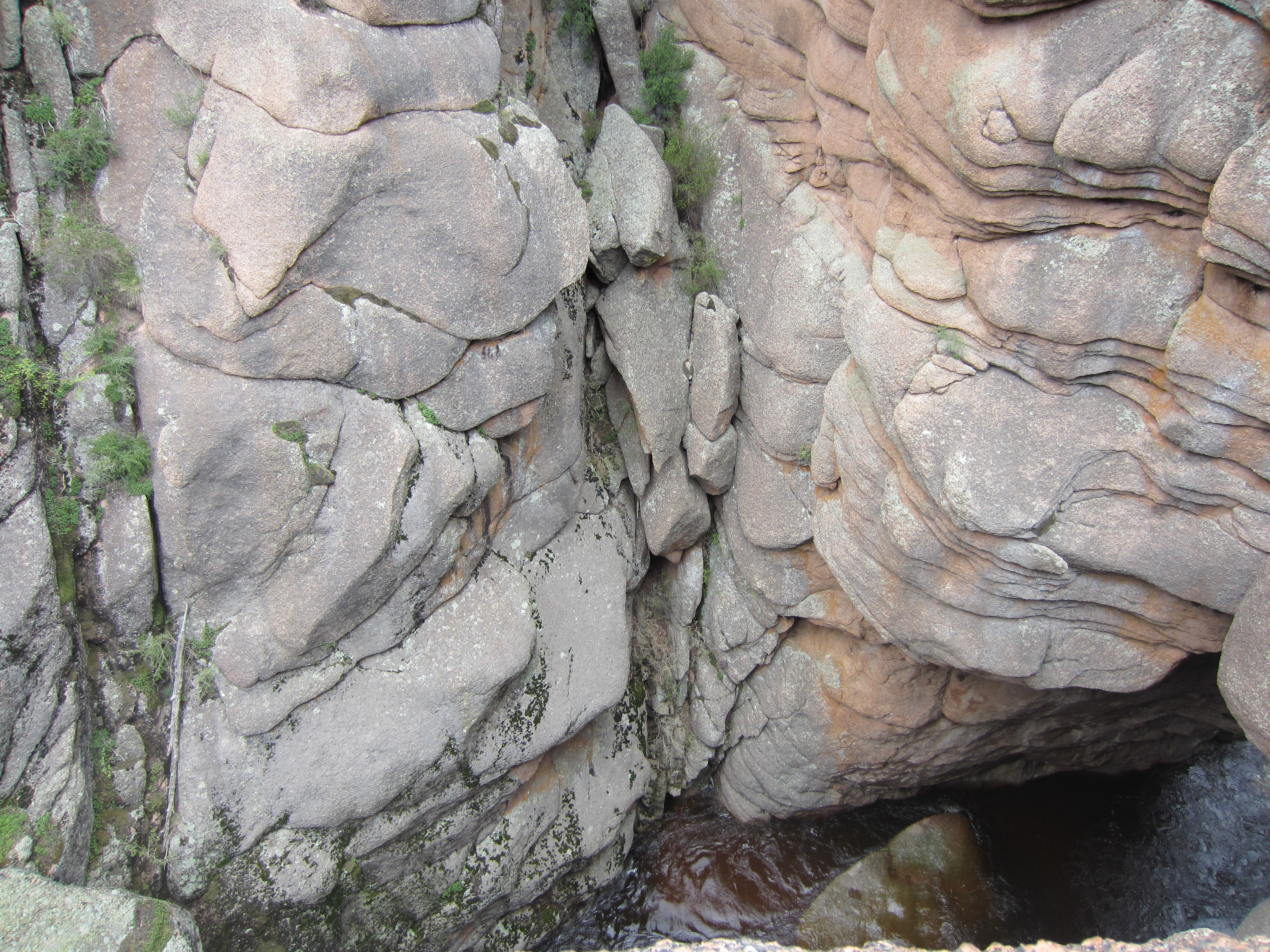
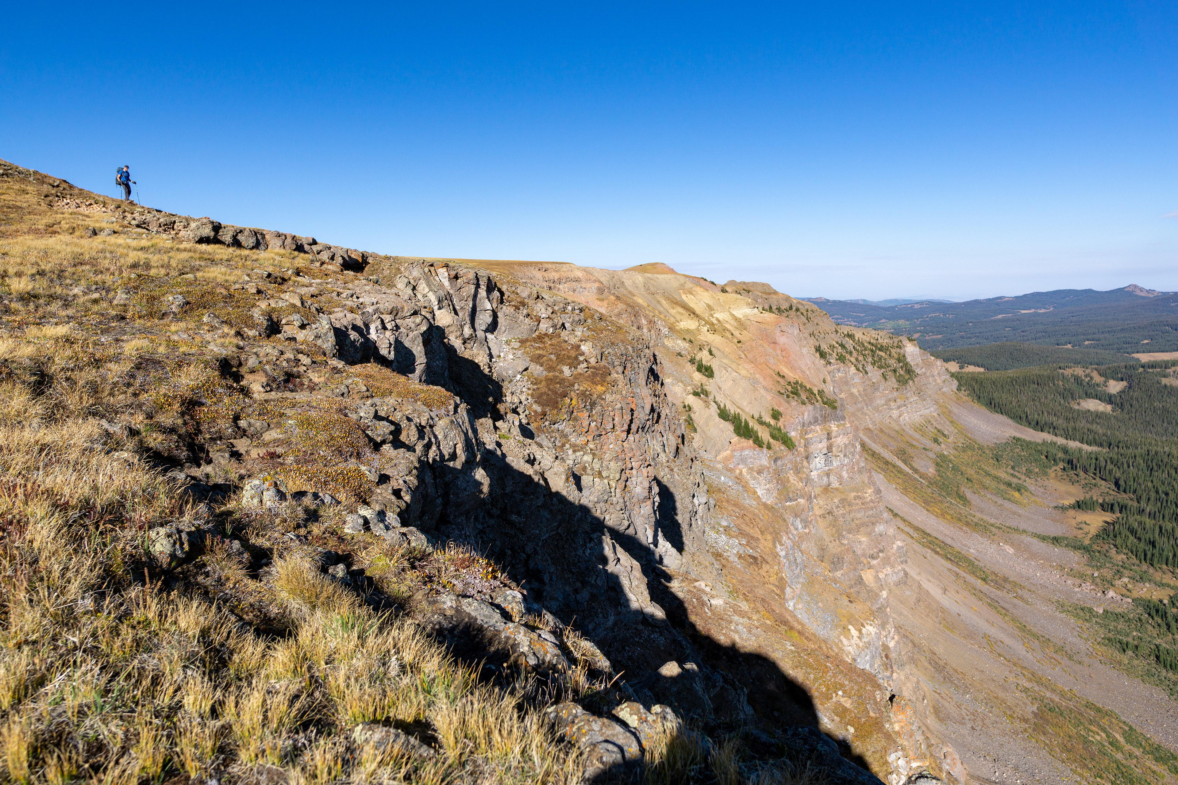
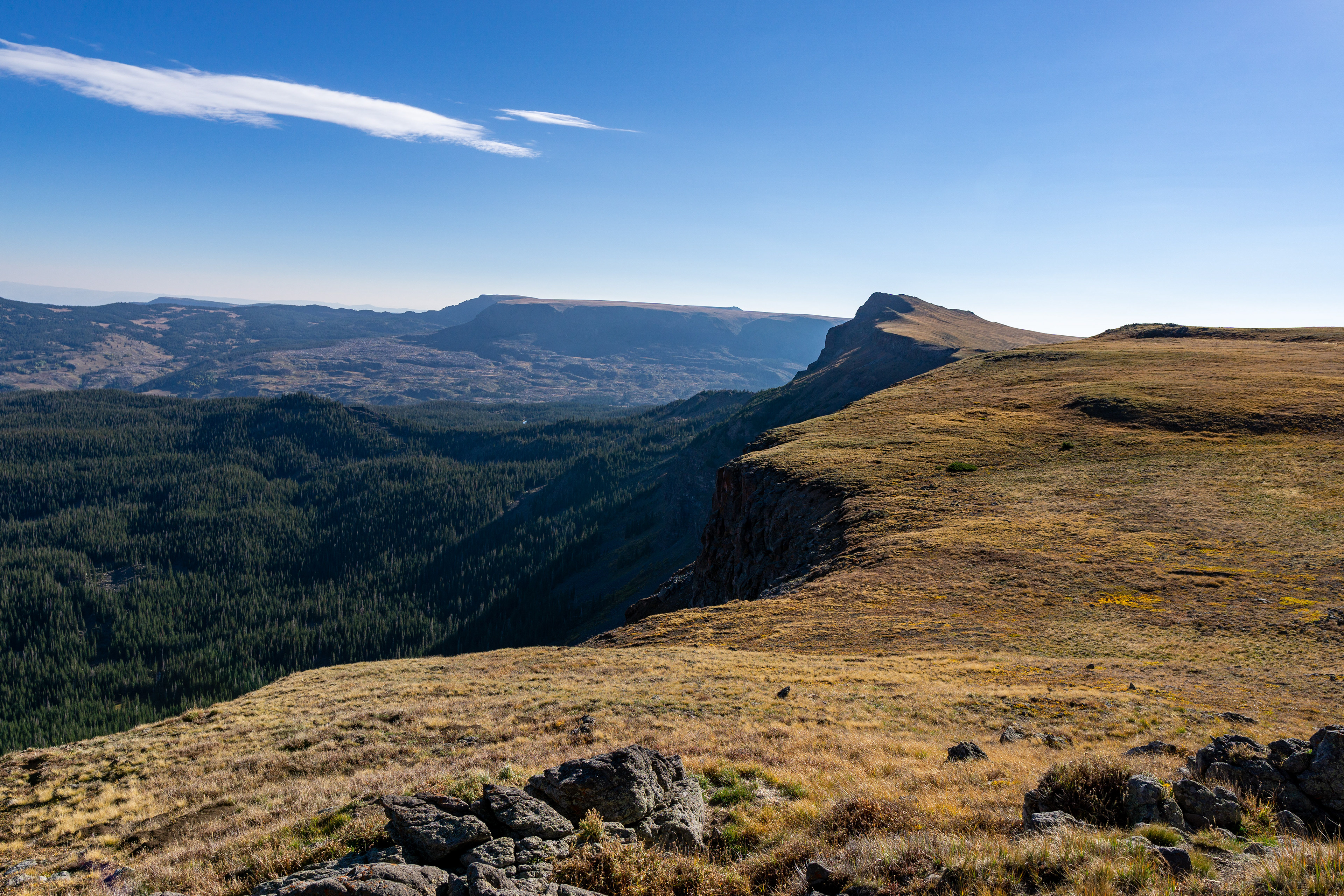
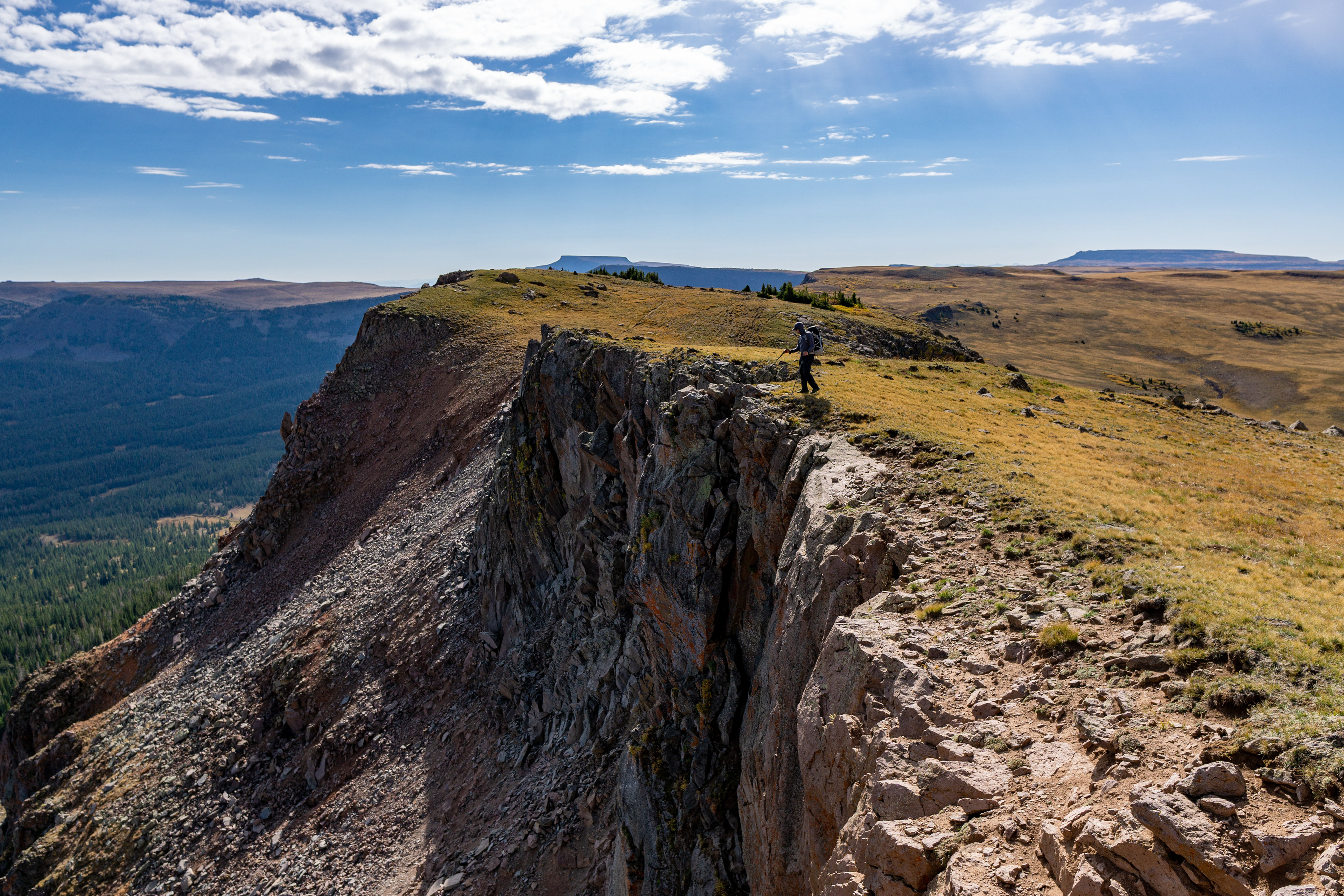
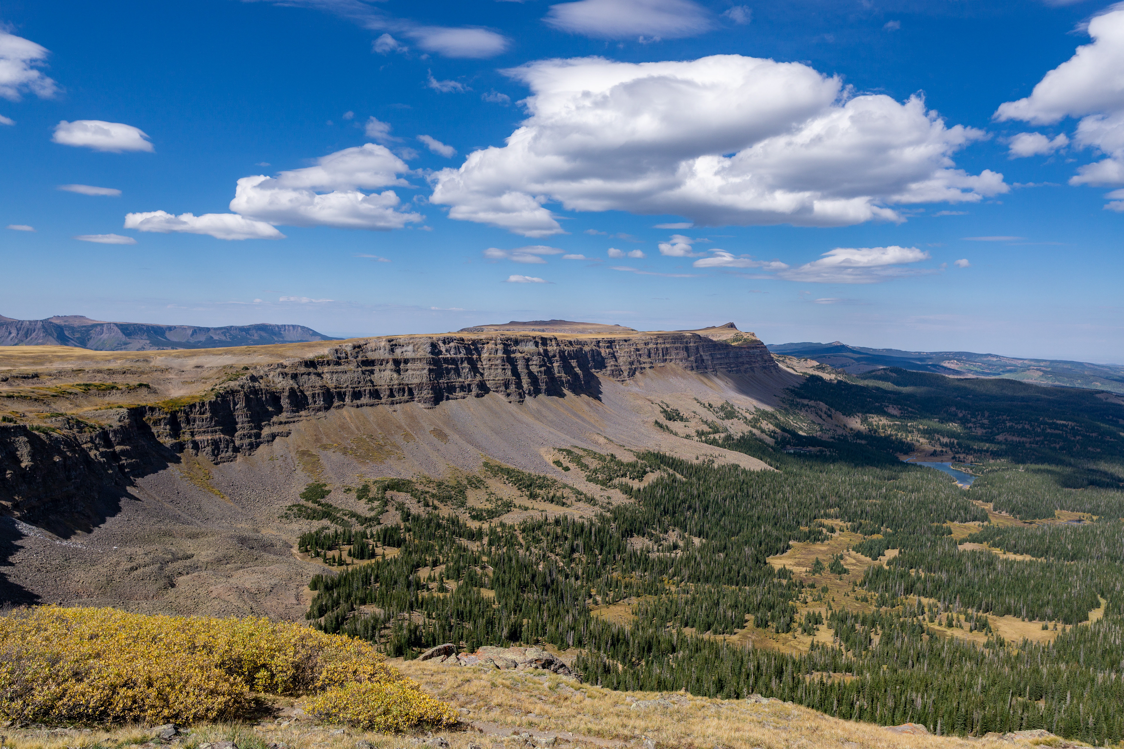
Notice the cliffs below - our route took us down along the base of them, on the opposite of the plateau above them, and then back along the edge of the cliffs on the final day.
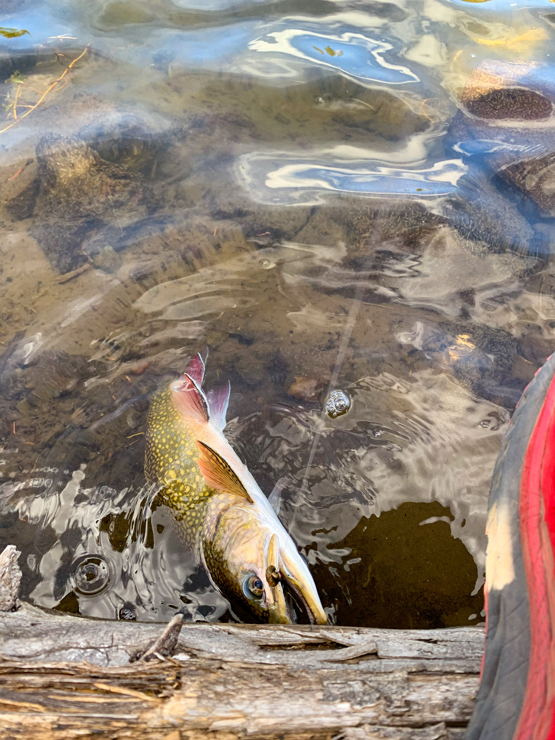
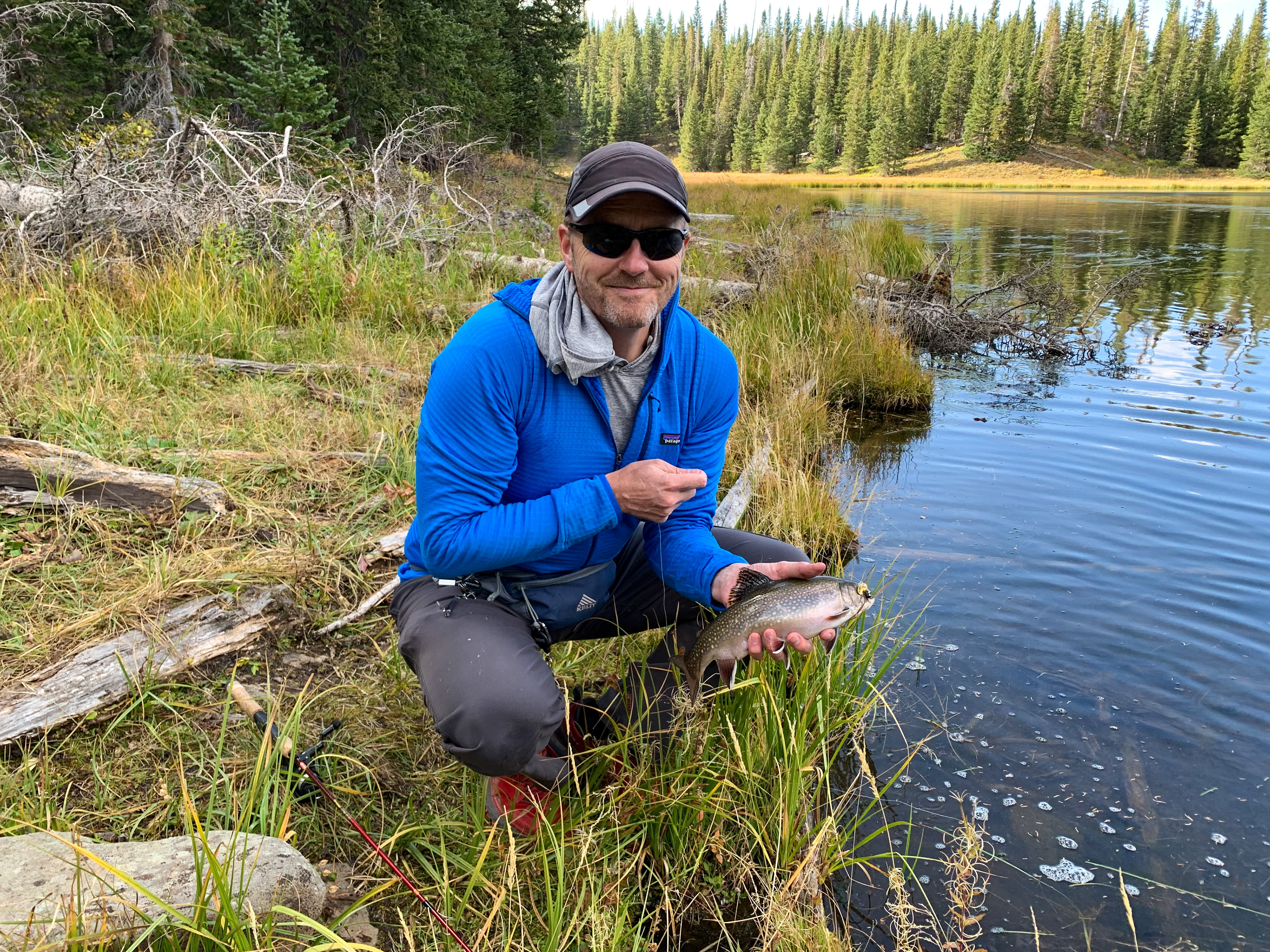
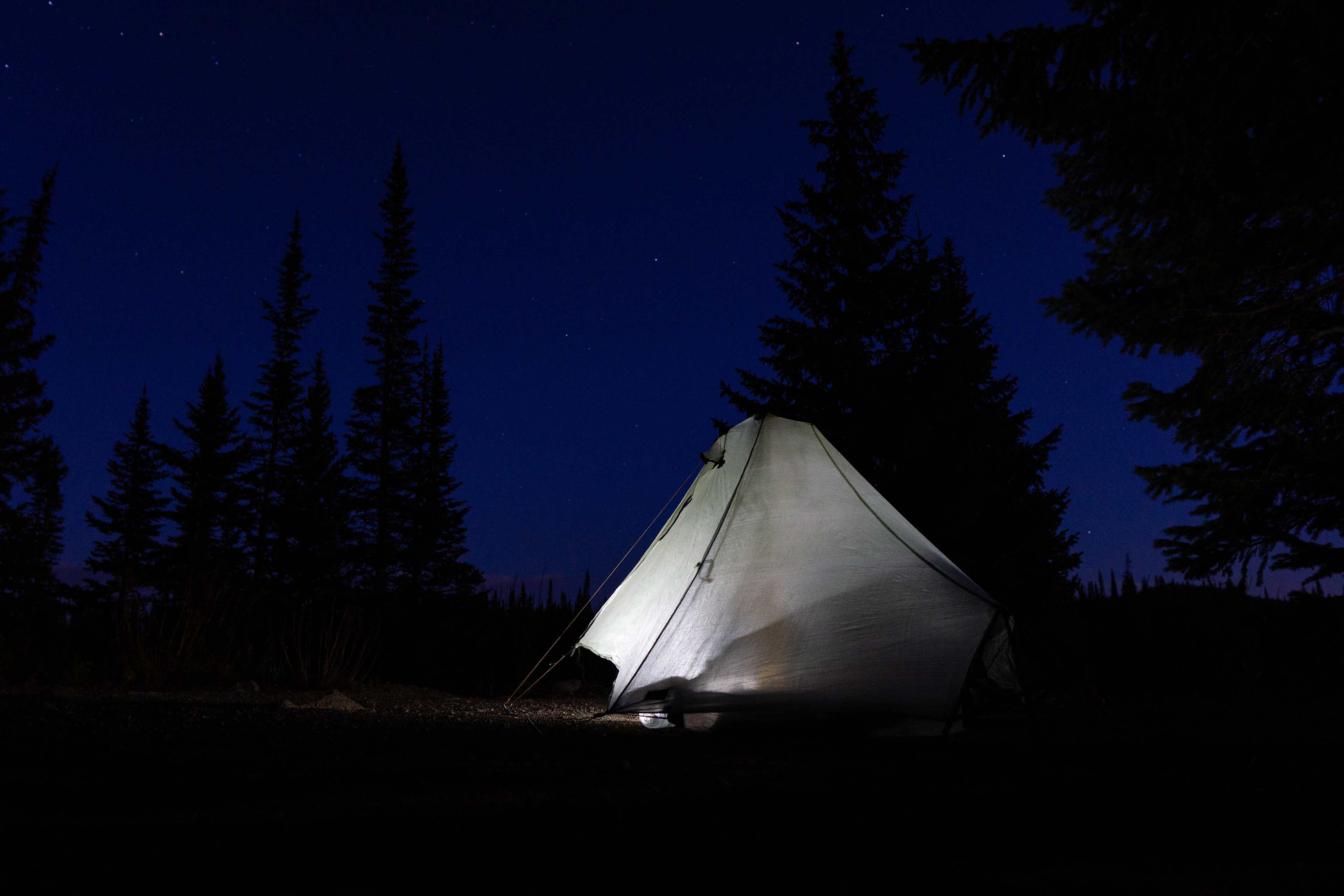
We opted to stretch this trip out over a few days, allowing some time to fish. We didn't catch a ton of fish, but the brookies we did catch were fatties.
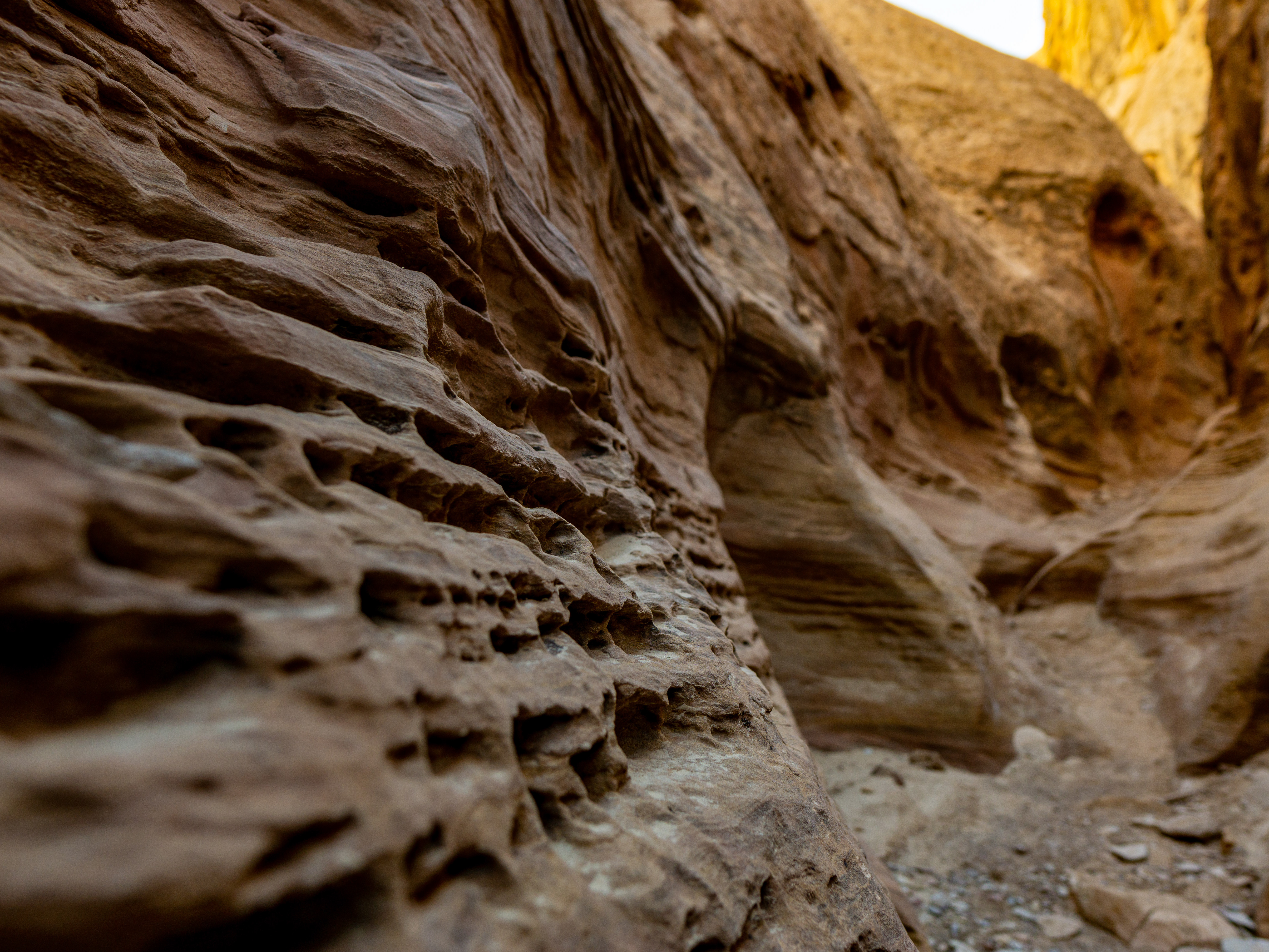
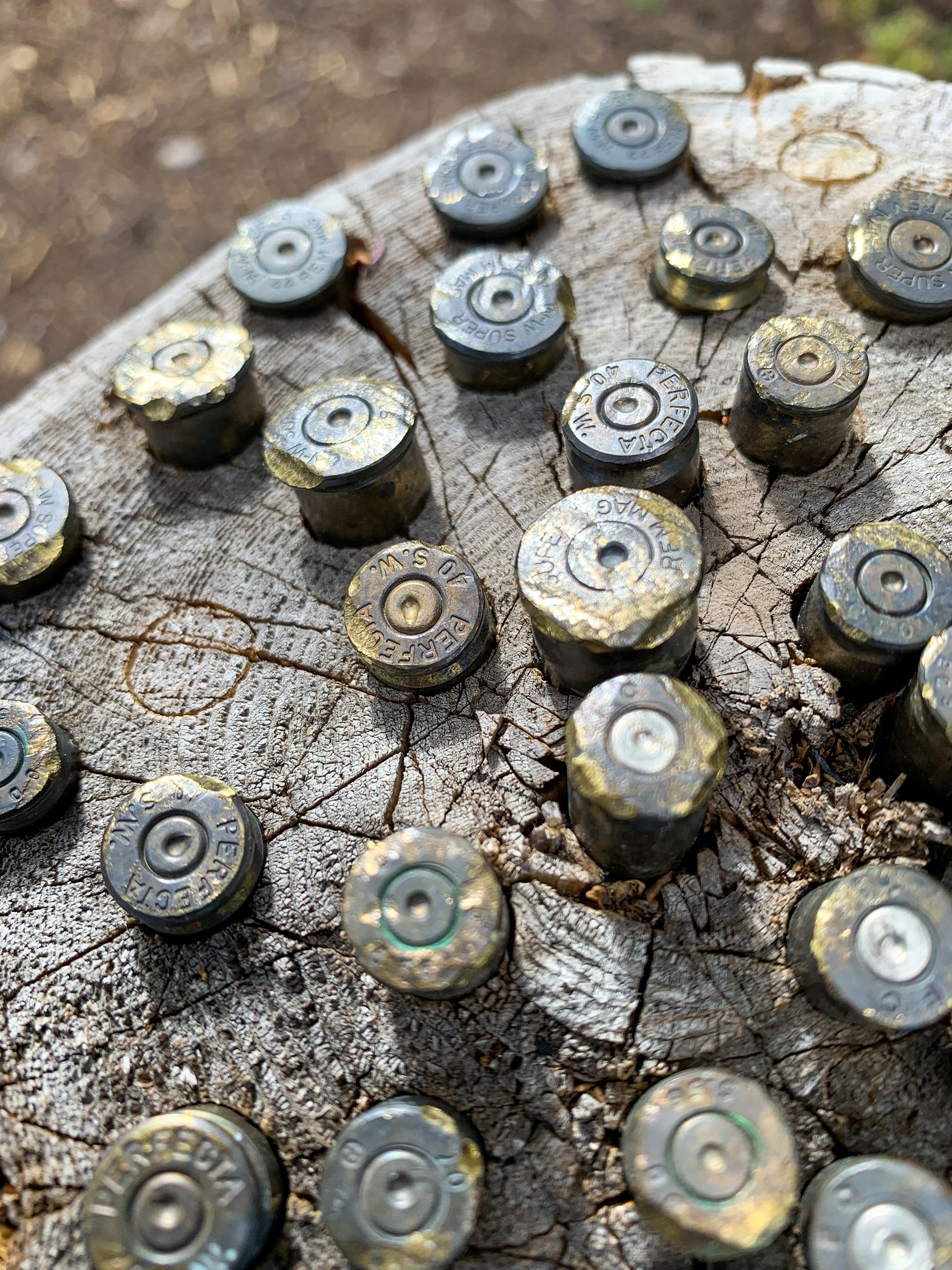
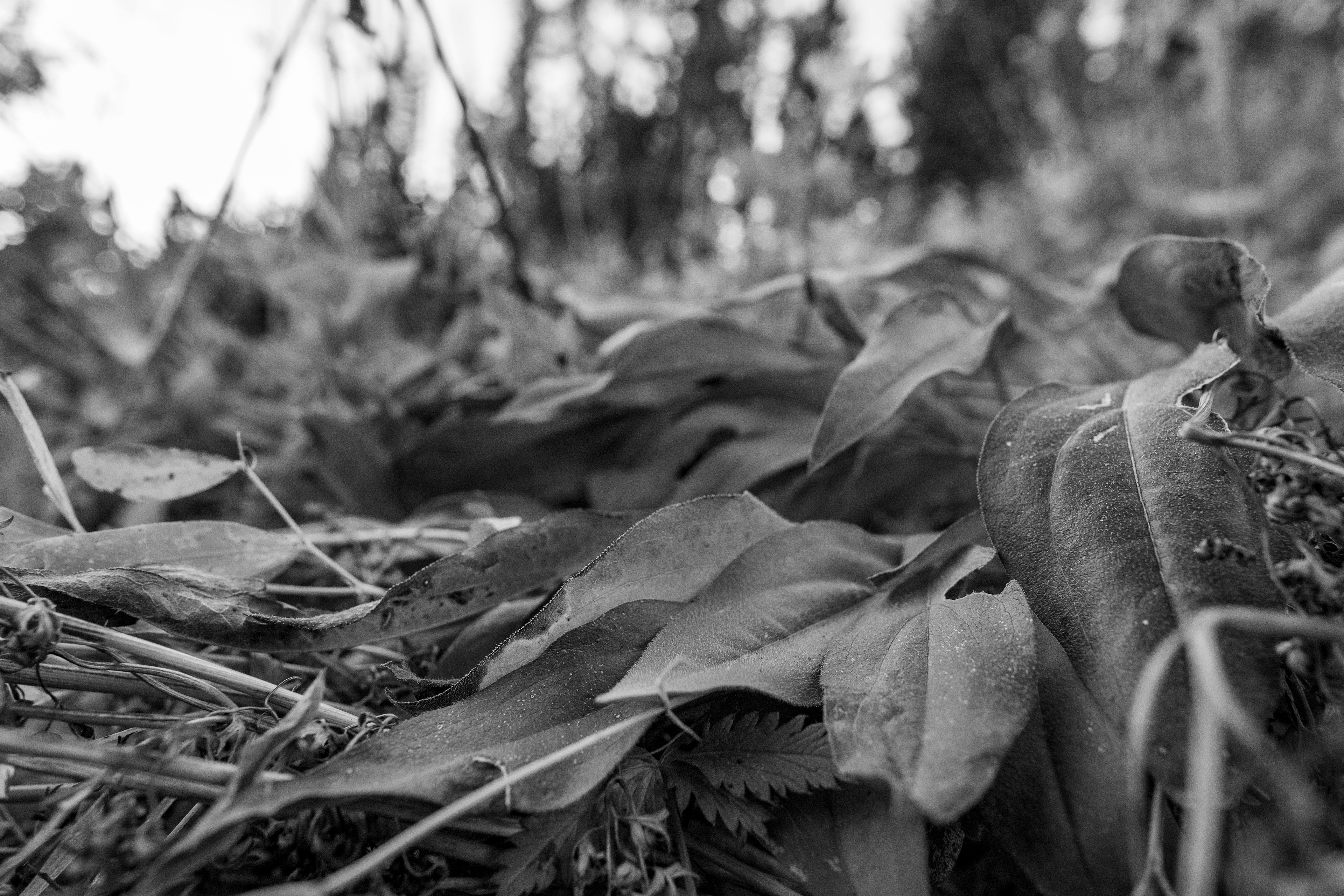
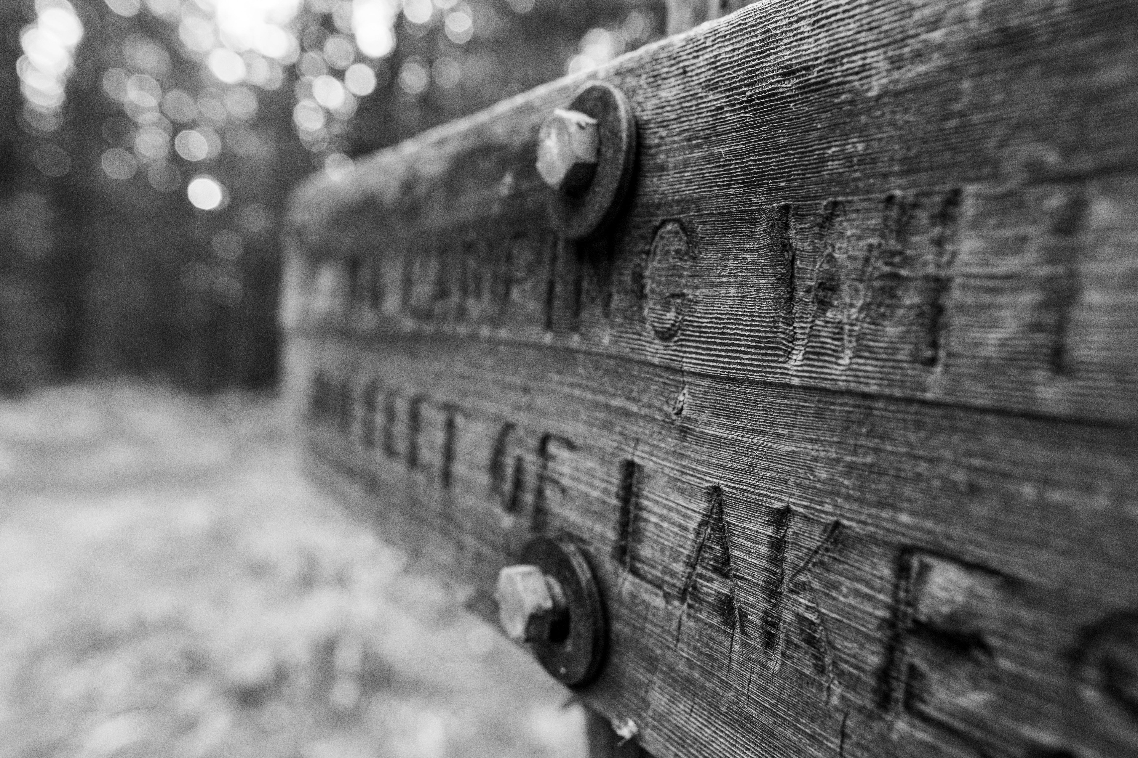
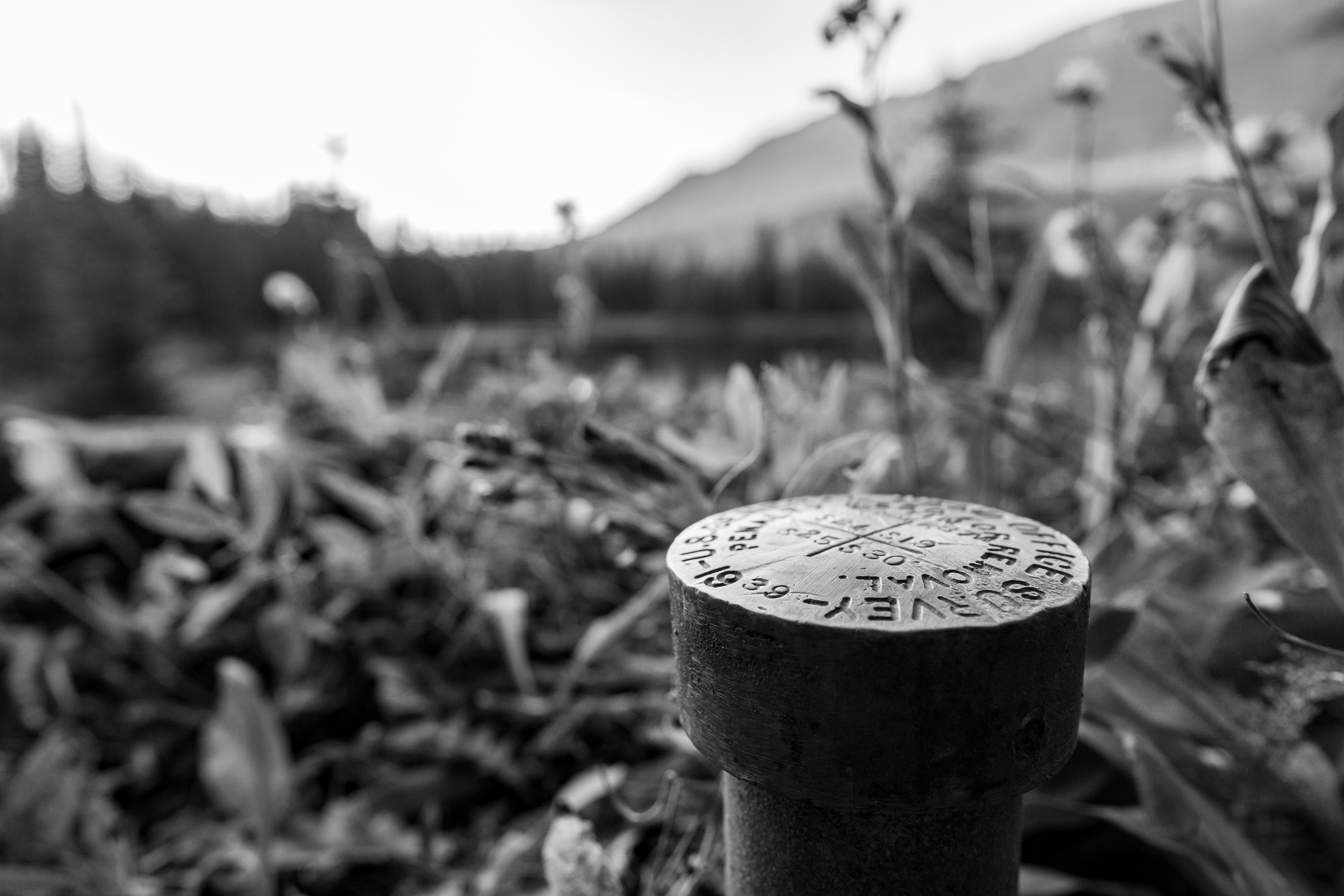
Artistic, perhaps, but wish they had left no trace.
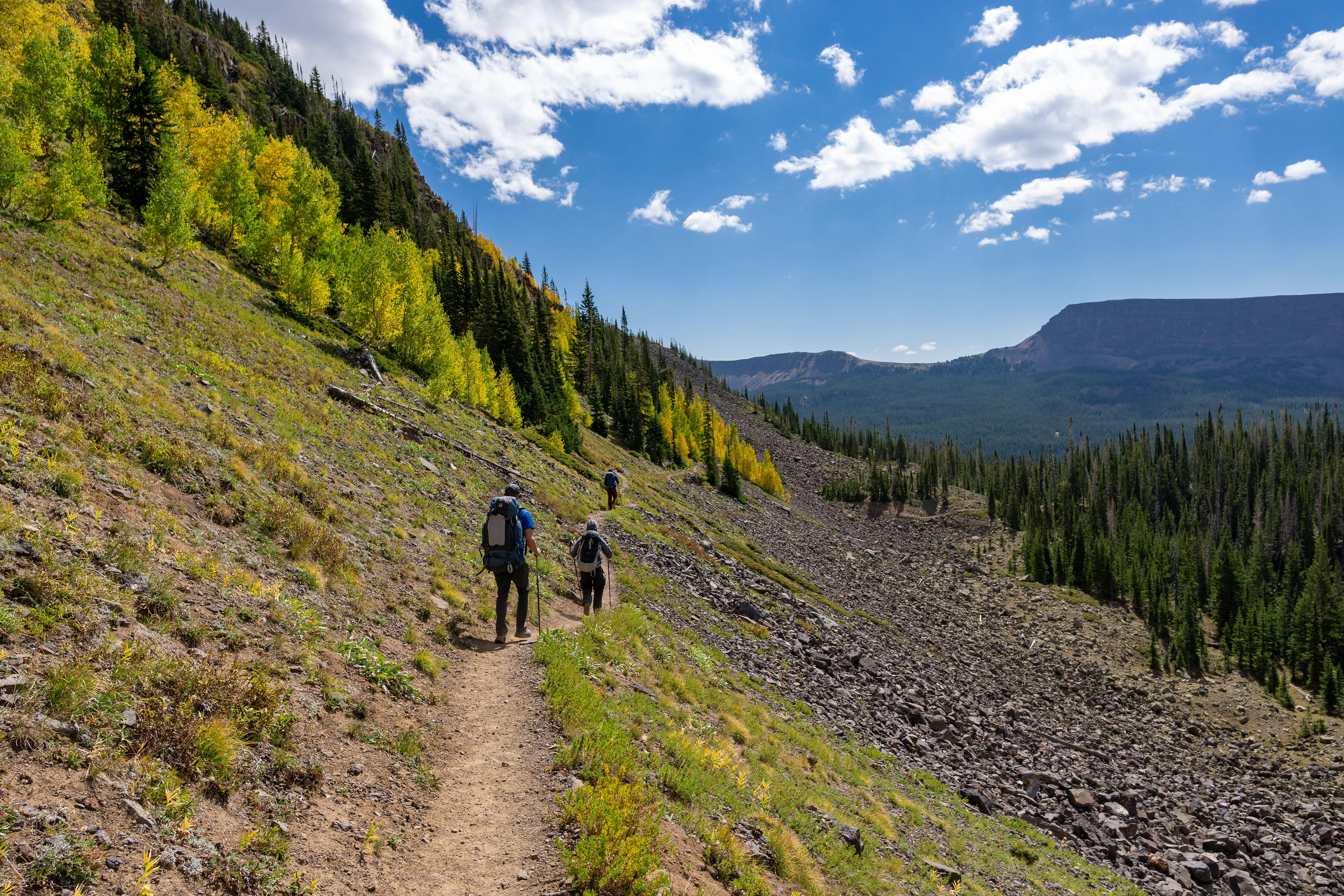
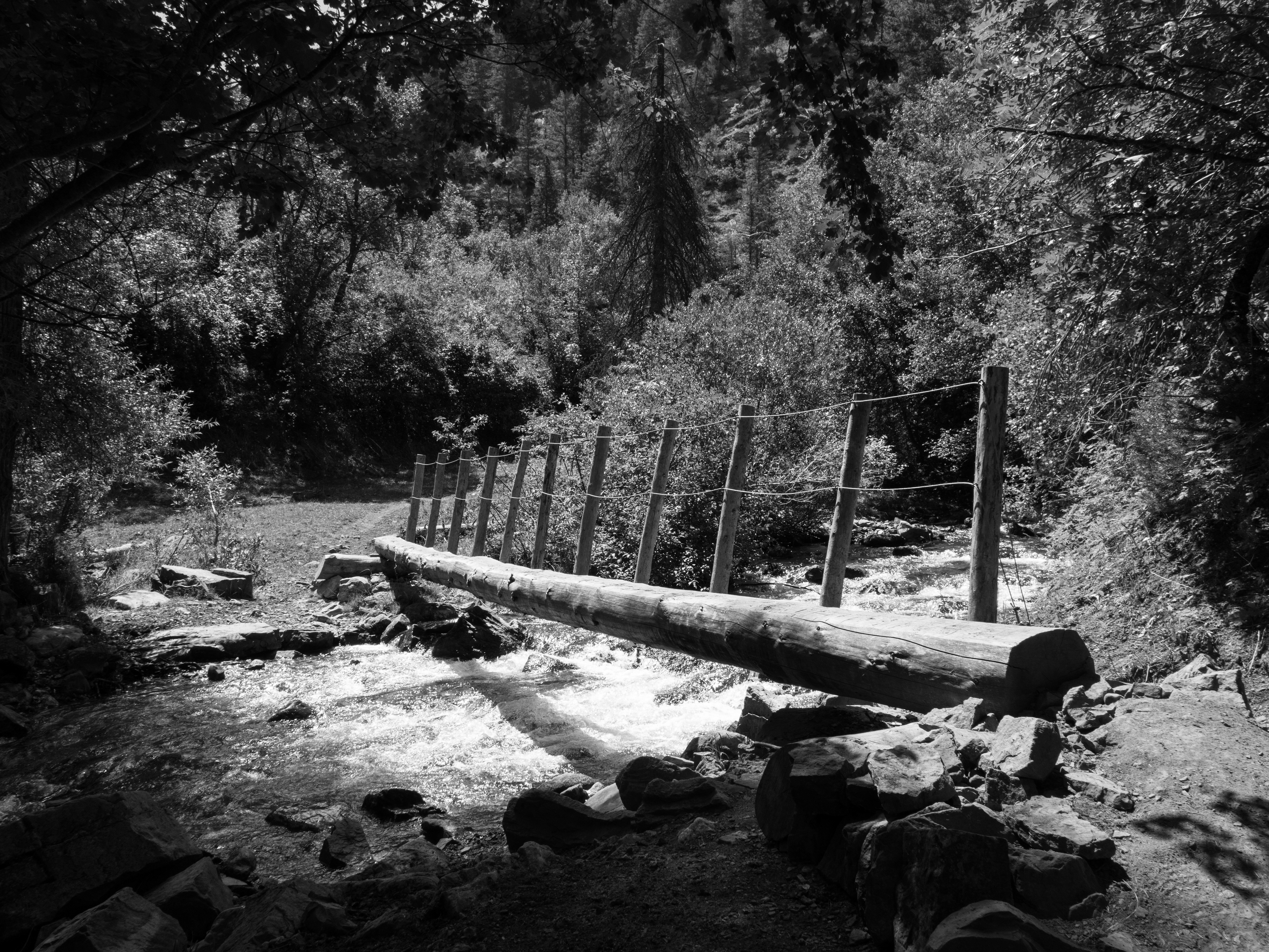
Day 2 had us heading to our second destination lake (after passing at least a dozen on day 1) and was pretty leisurely.
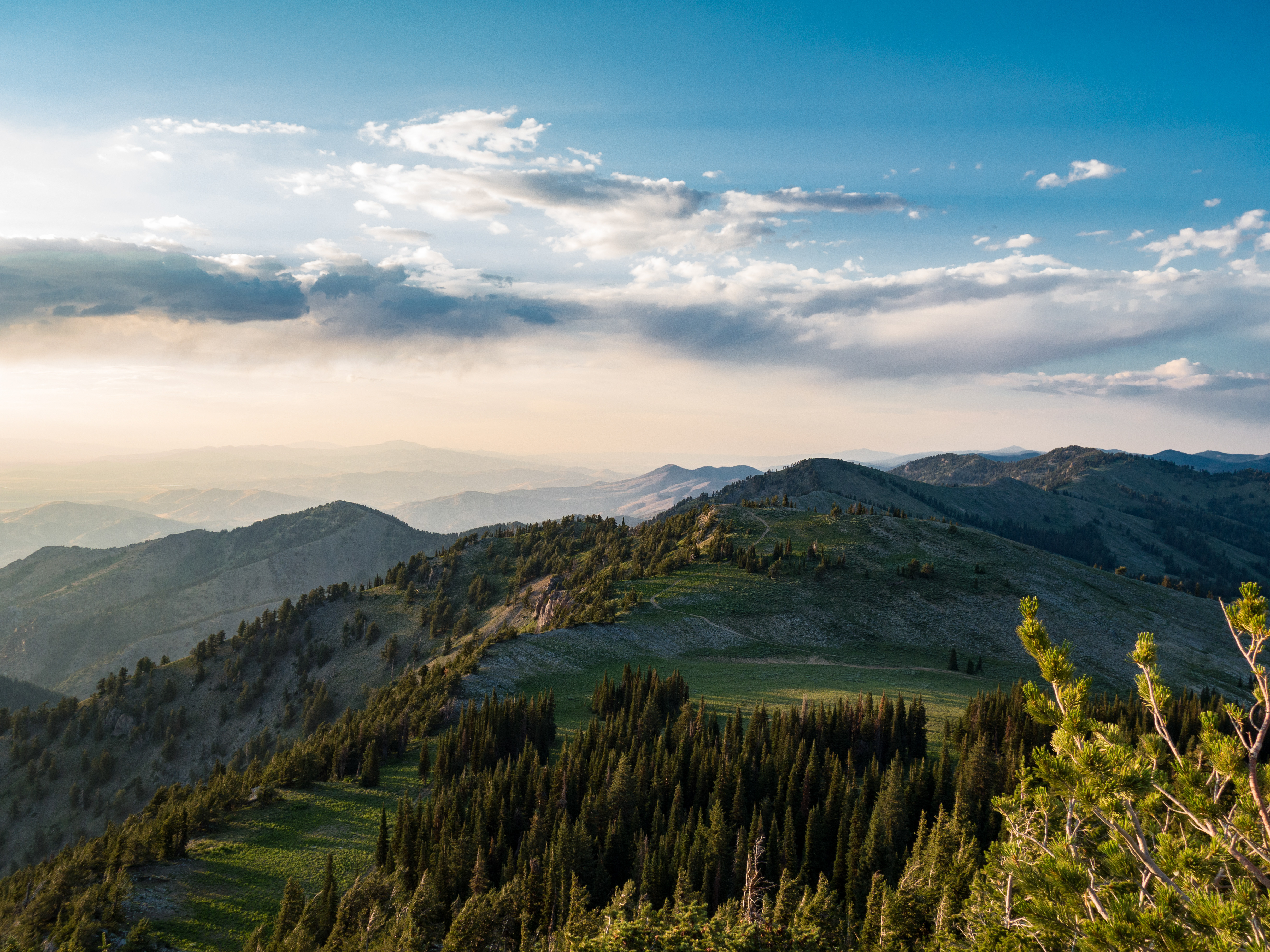
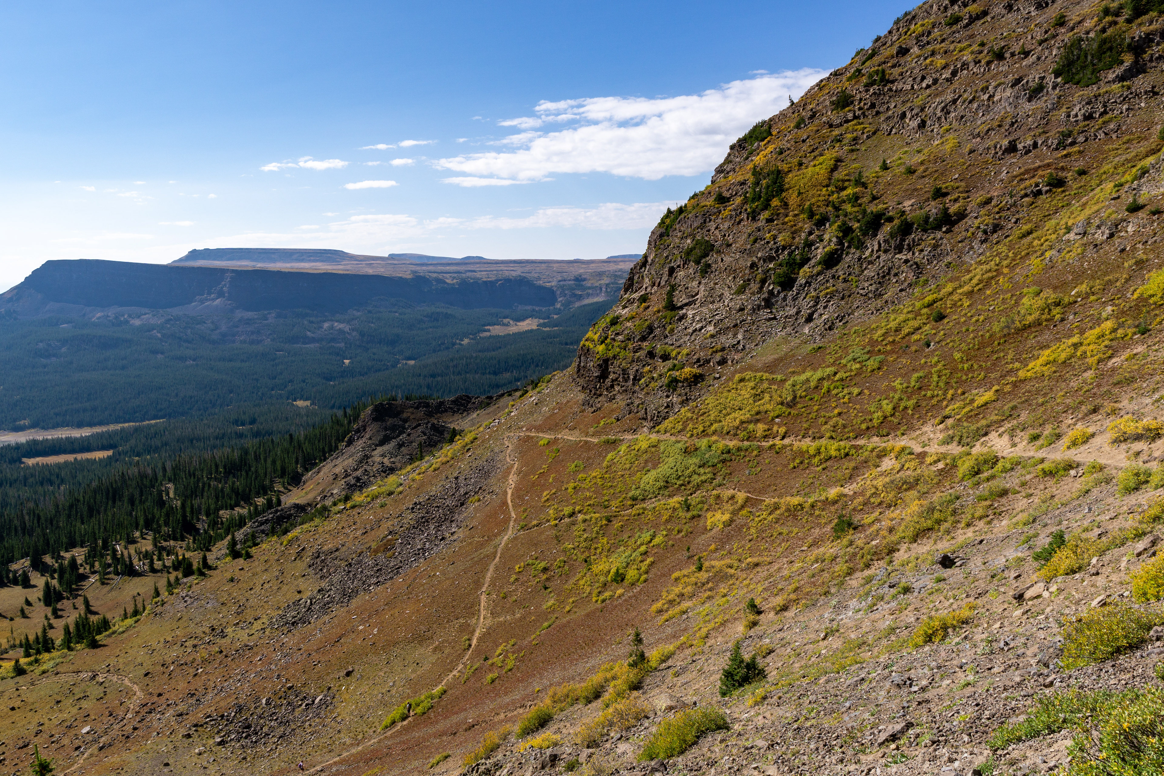
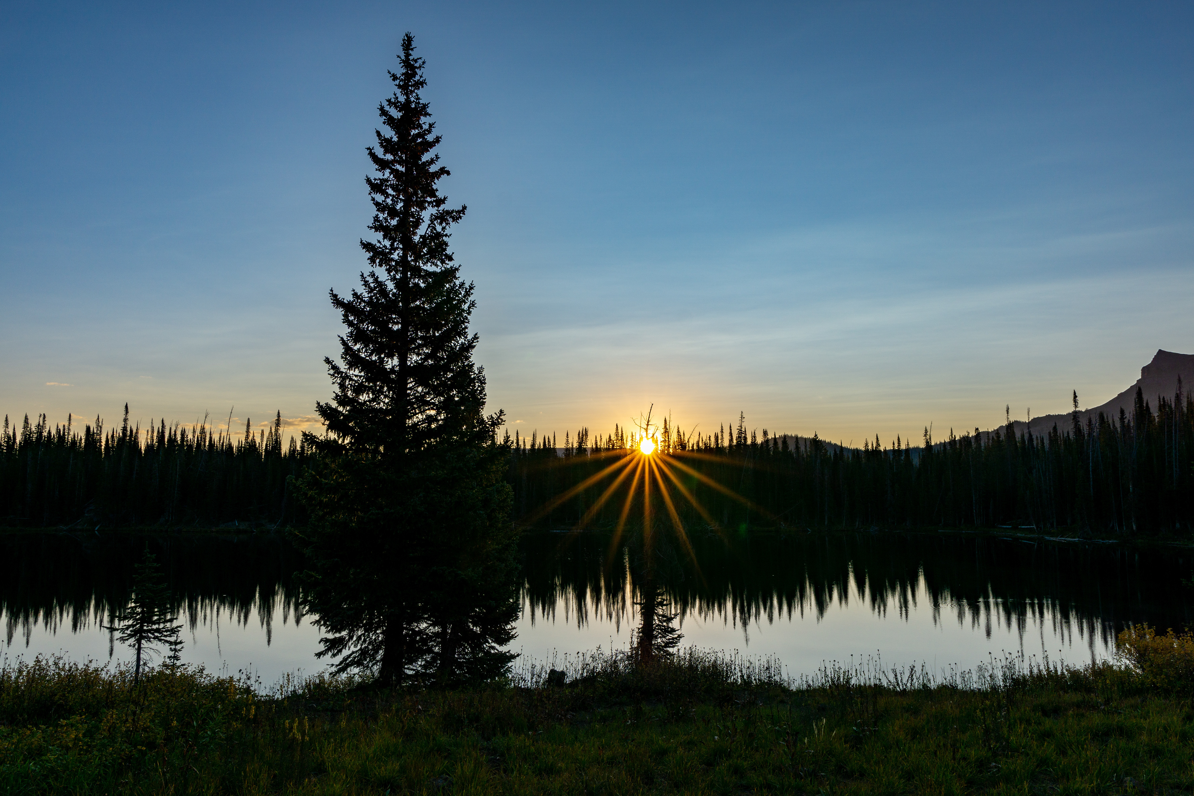
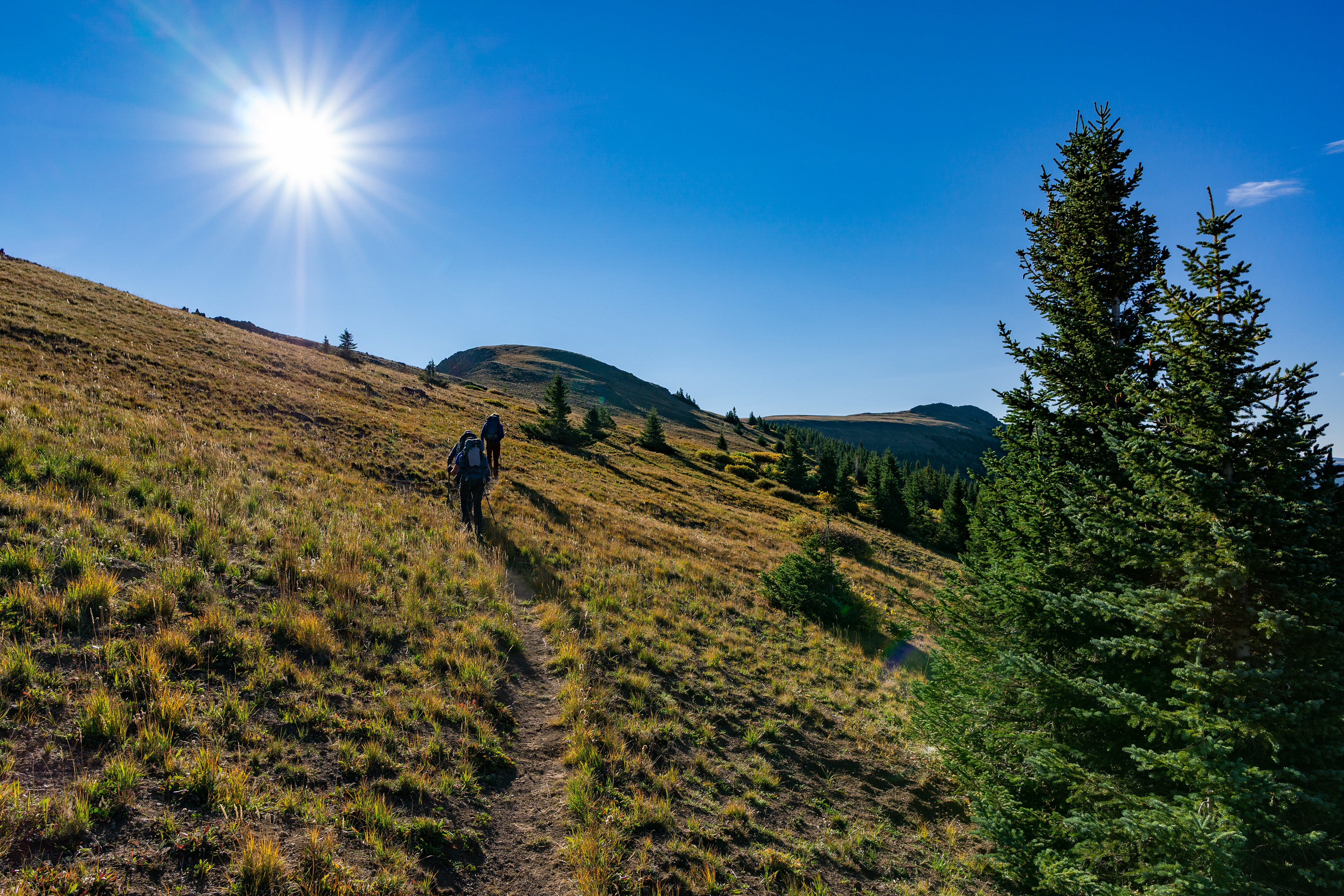
Headlamps, some nippy air, and a 6AM start made for an invigorating morning on the final day. We did a little backtracking and then climbed to the best part of the hike - the plateau above all the lakes (averages around 11,600 feet).
From the edge of the cliffs, we were able to see all the lakes we had passed on the first day.
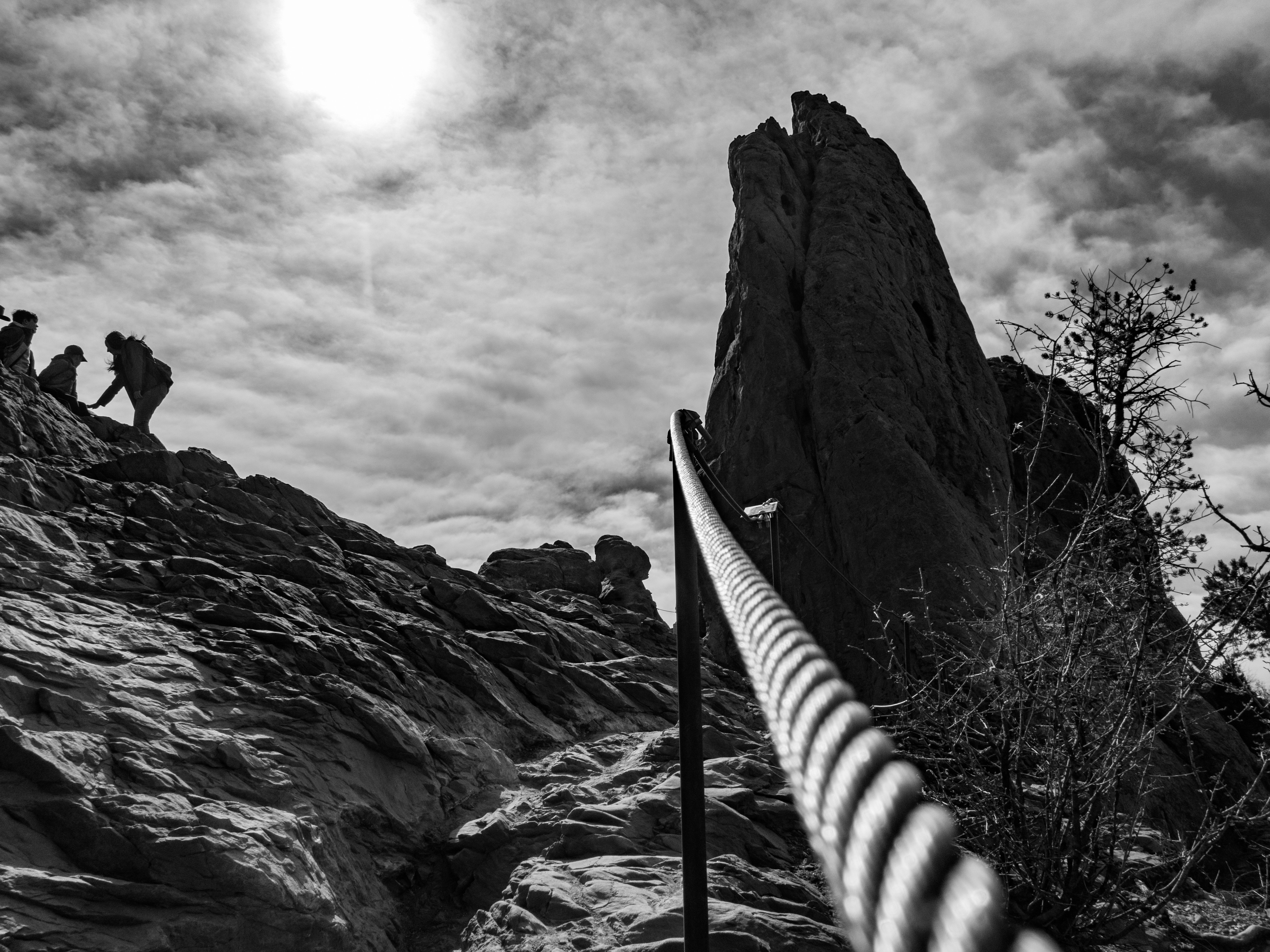
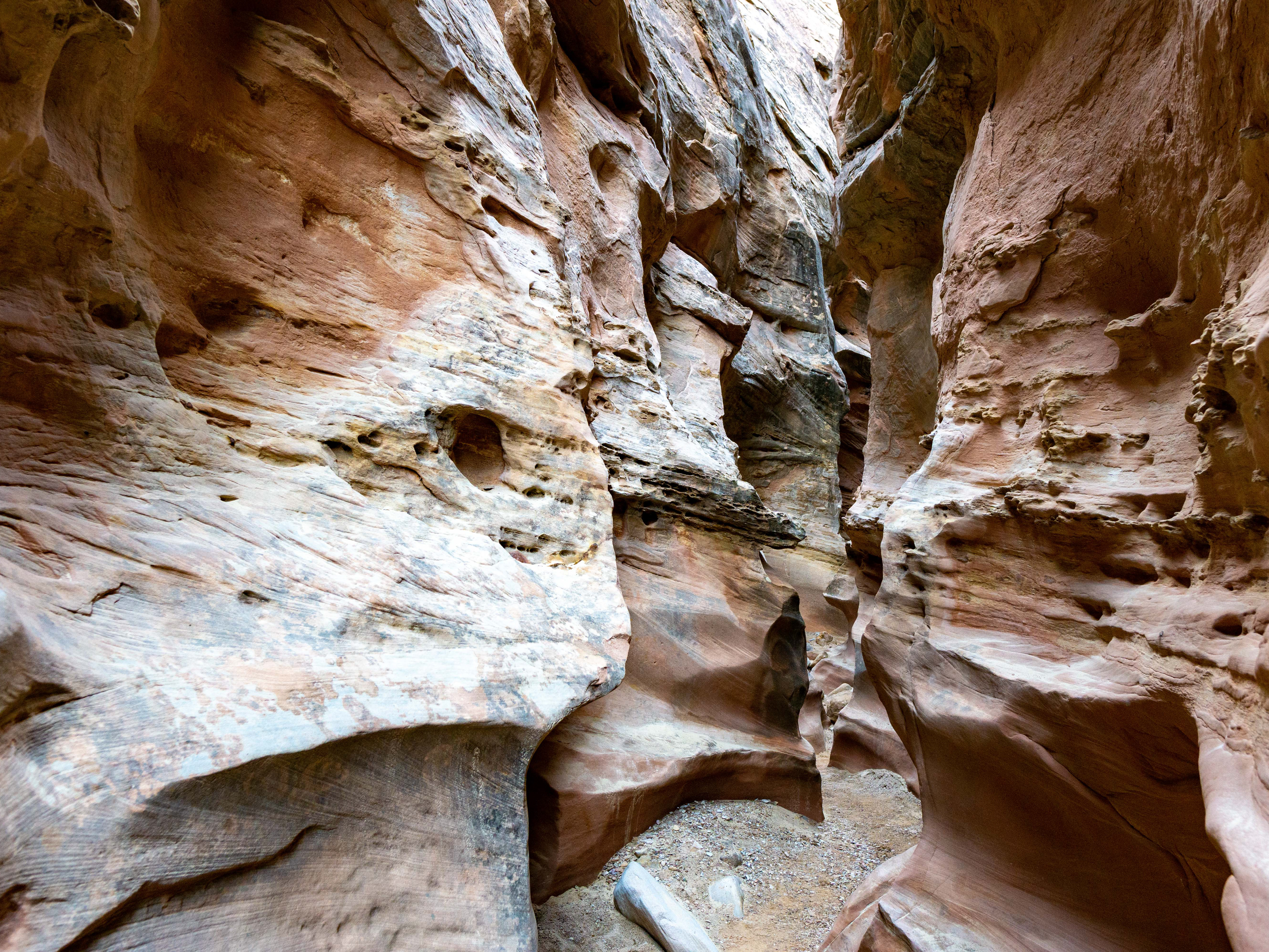
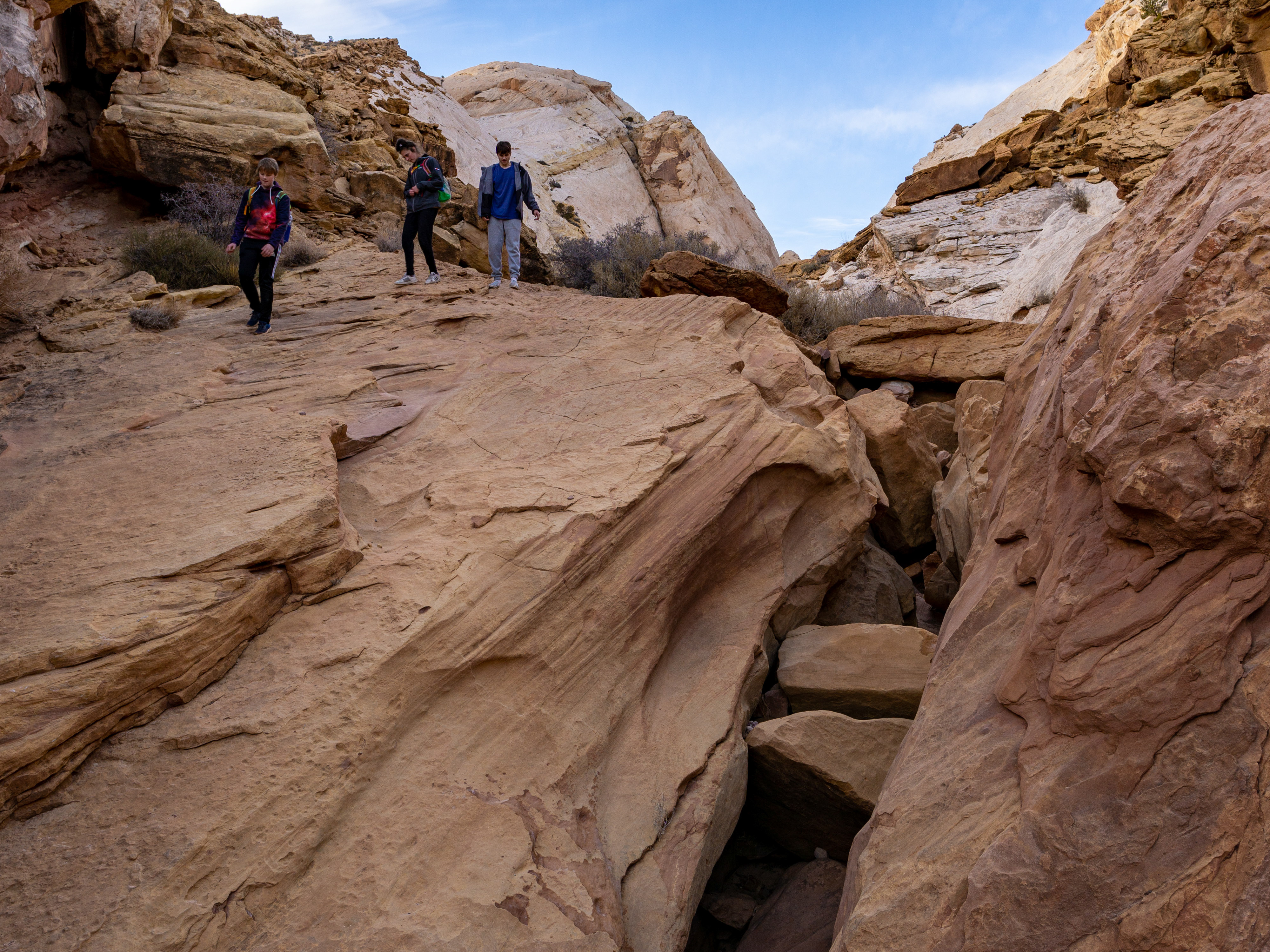
The trail narrows...