Due to some commitments my wife and kids had, I had a two week window when they would be out of town. My friend, Devin, and I decided to use one of the weekends during this time to do some backpacking in the Lost Creek Wilderness area.
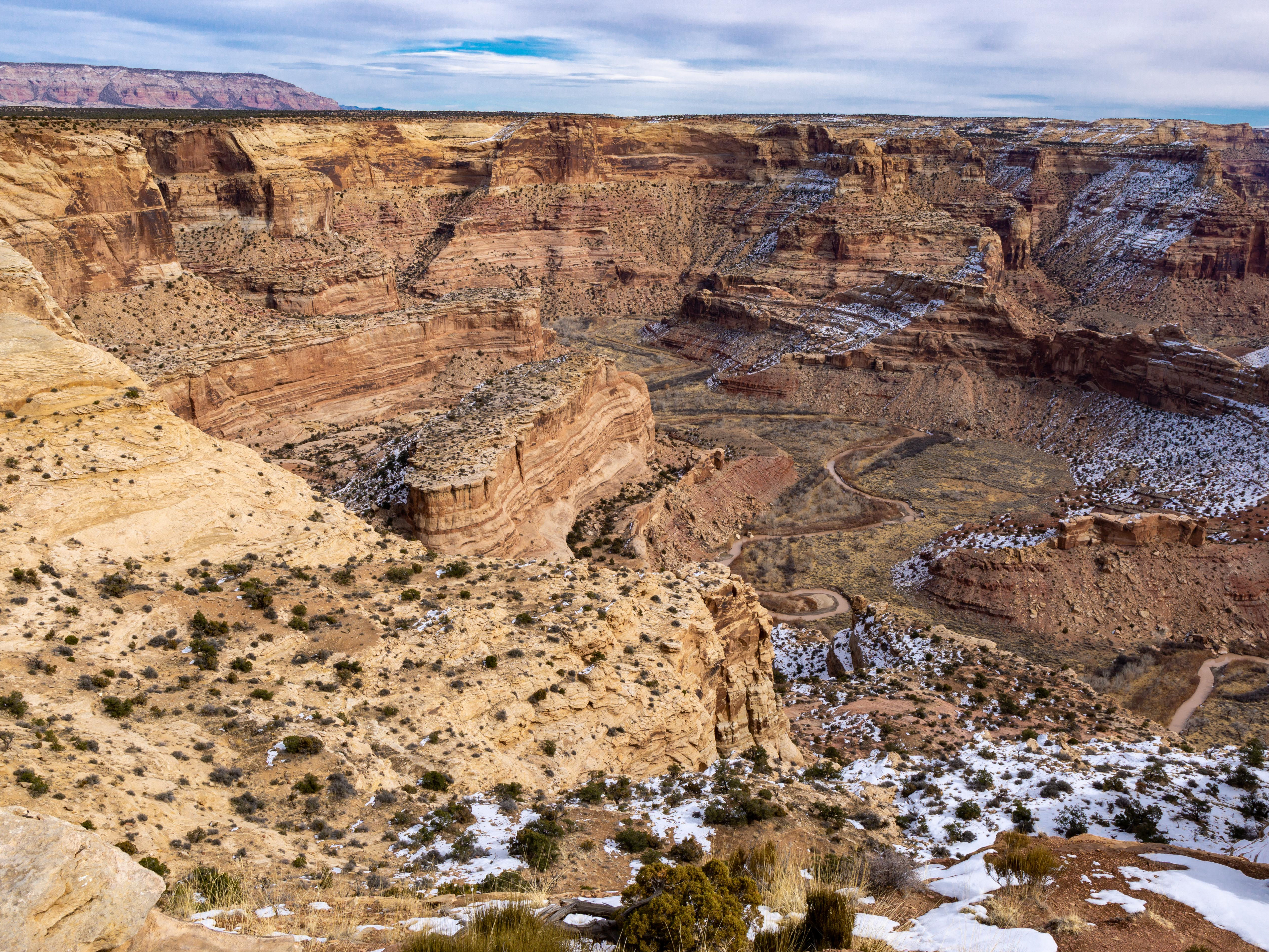
We drove about 2.5 hours to the Goose Creek Trailhead on Friday June 5, 2015. This area is known (within Colorado) for some unique rock formations. The night before we left, there was a very impressive storm at our home. I couldn’t count to more than 1 or 2 seconds between lighting flashes. There was hail the size of peas and marbles, enough rain that our neighbors garbage can floated down the street a couple of hundred feet to a drop inlet, and a tornado about 10 miles north of us. We checked the weather, hoped the worst was over, and headed out at 6AM the next morning.
We stopped (appropriately enough) to have lunch at Refrigerator Gulch. By then the sun was generally shining more than 50 percent of the time. Clouds would quickly blow over us, but seemed to continue on their way rather than rain on us.
We had approached this trip with two different plans. If the rivers were passable and the snow wasn’t too deep, we would make a full loop. If the rivers or the snow were too big of a challenge we would go in and then come back out the way we came.
We passed a few groups of hikers coming out as we were coming in. The general word from them was that the snow was too deep (waist deep) and that the river was generally flooded, moving very fast, and chest deep.
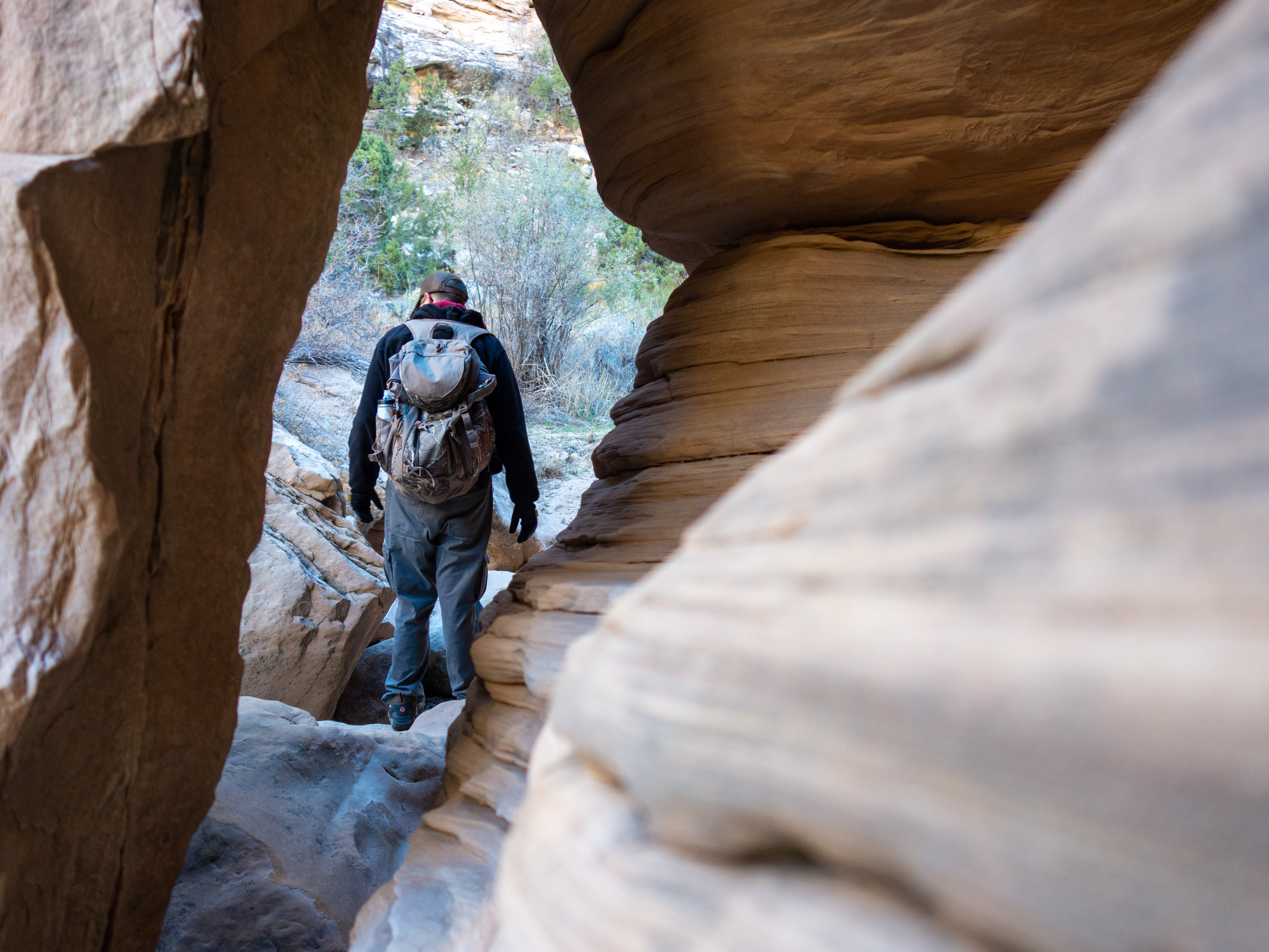
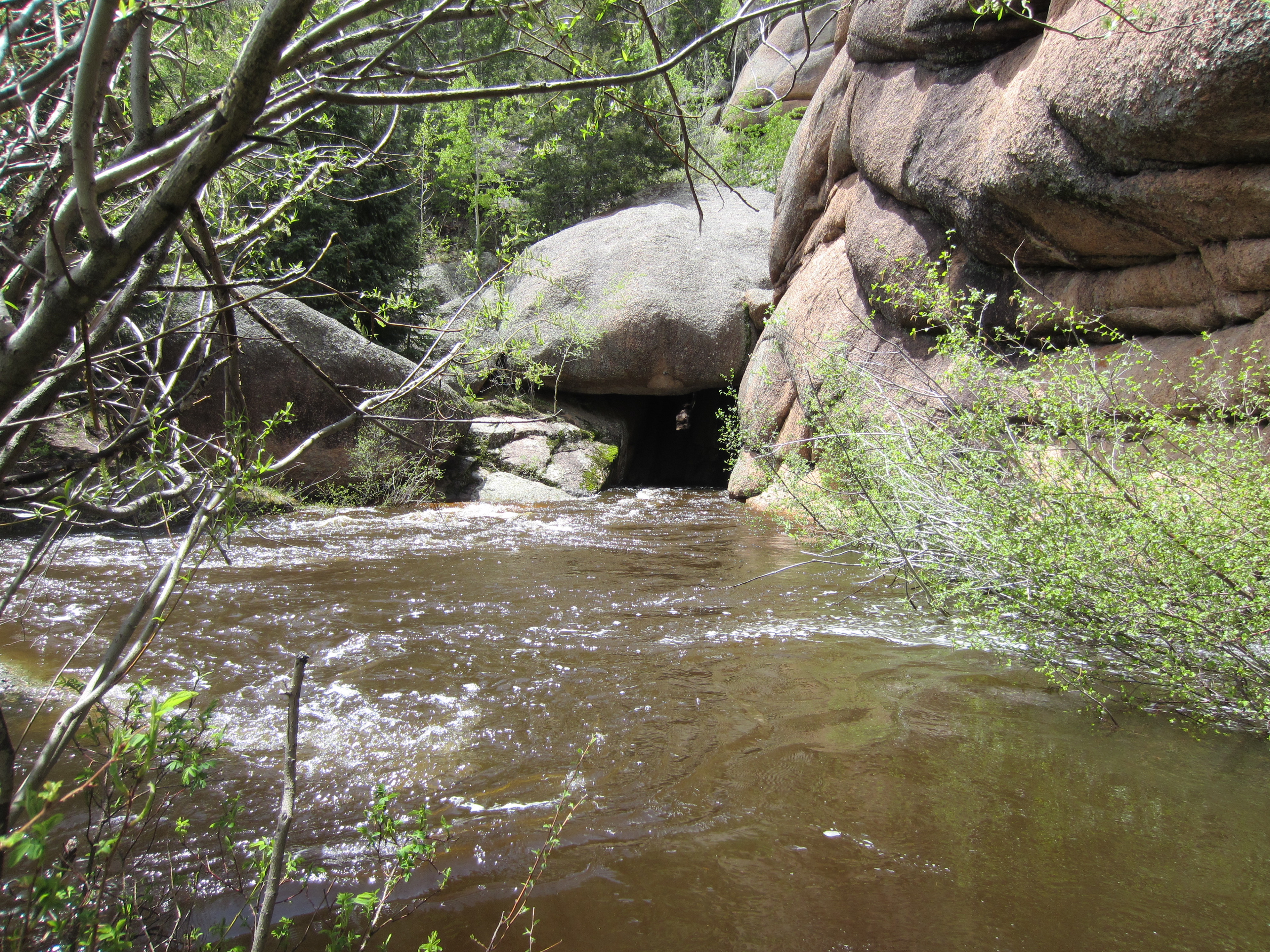
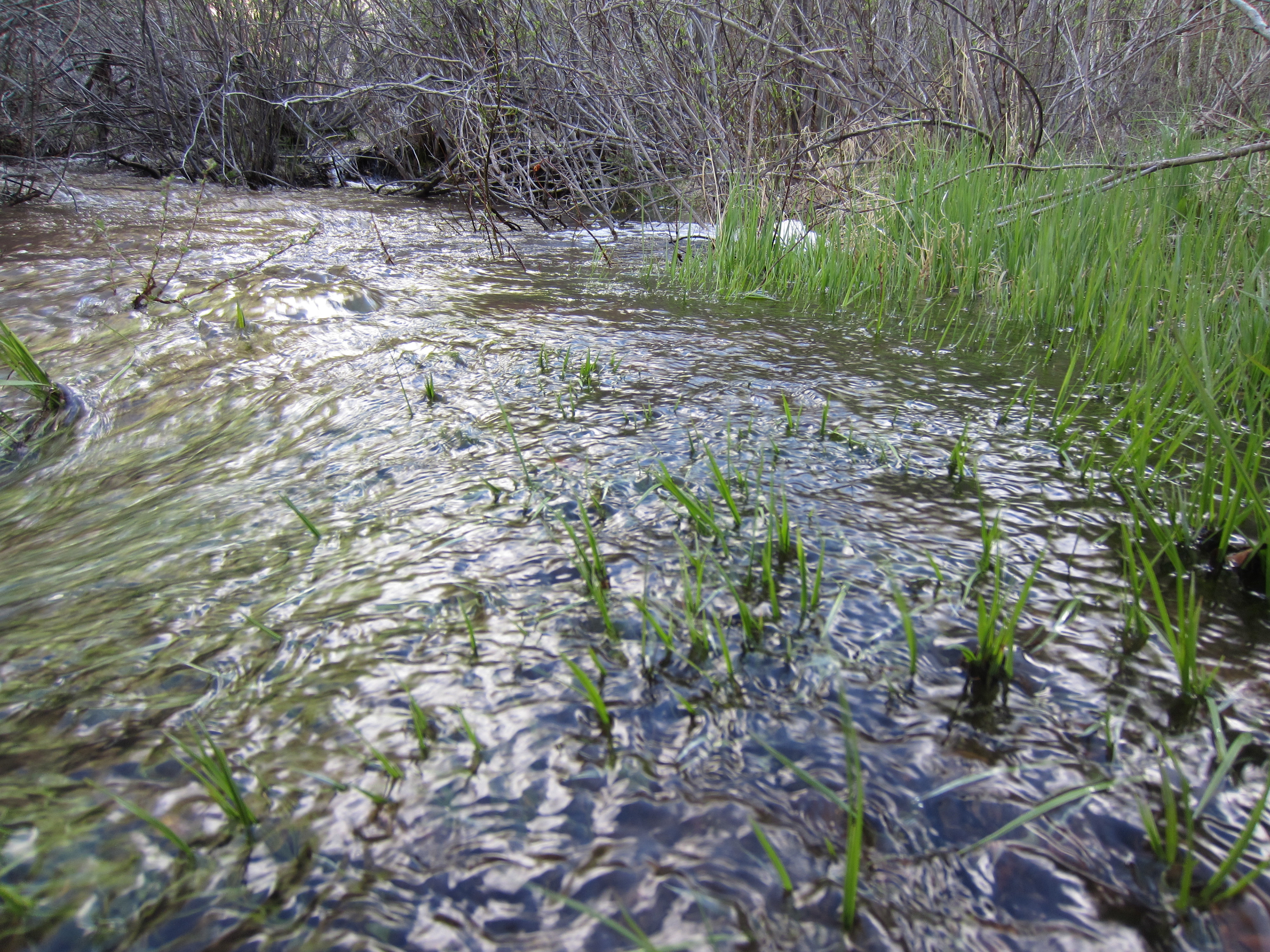
After roughly 8 or 10 miles, we came to an interesting place. The river, which was every bit of chest-deep or more, appeared to be coming directly out of a small opening in the rock. We spent some time here trying to find a way across, but there wasn’t a way to do it safely, much less, without having to swim.
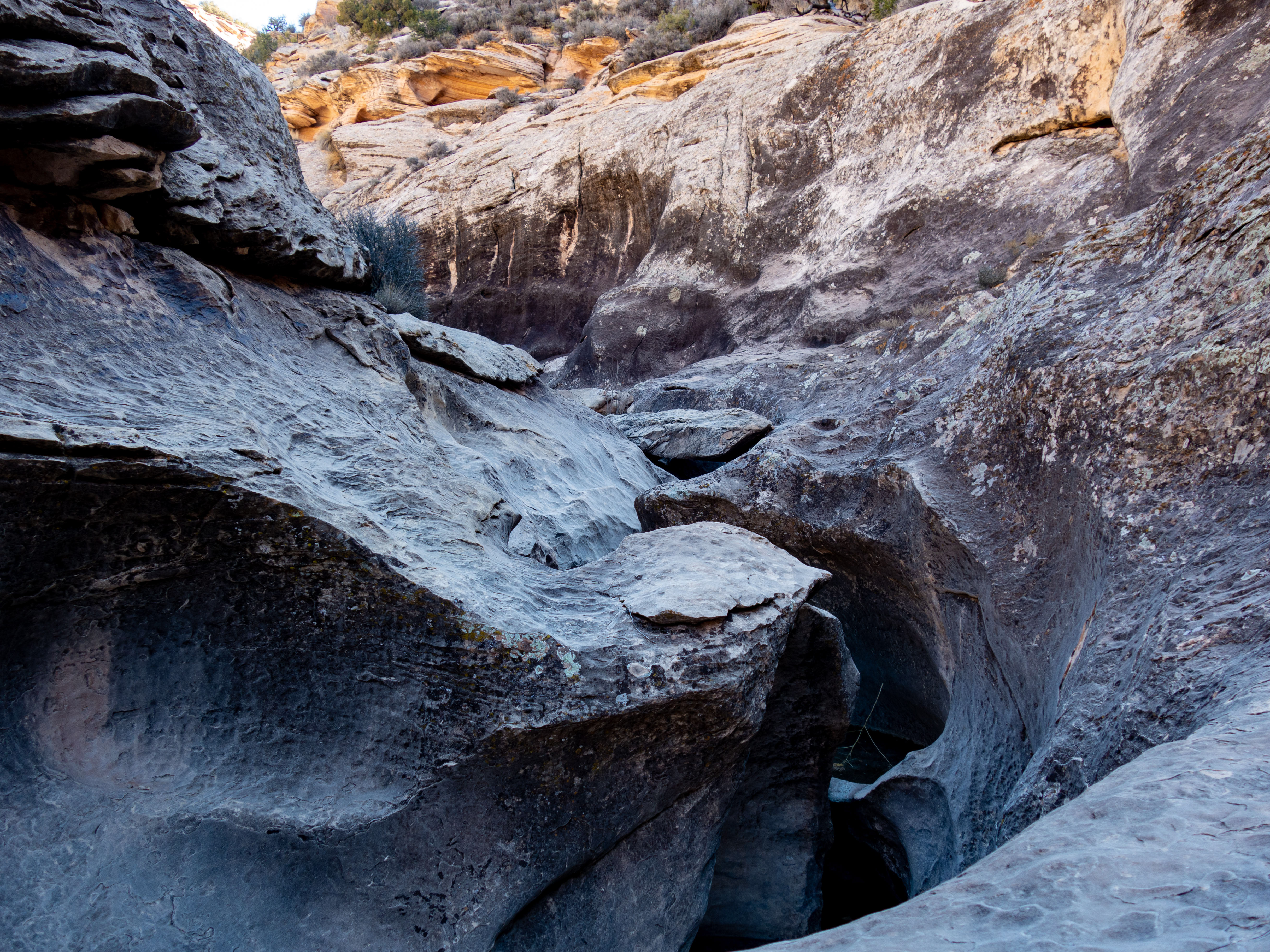
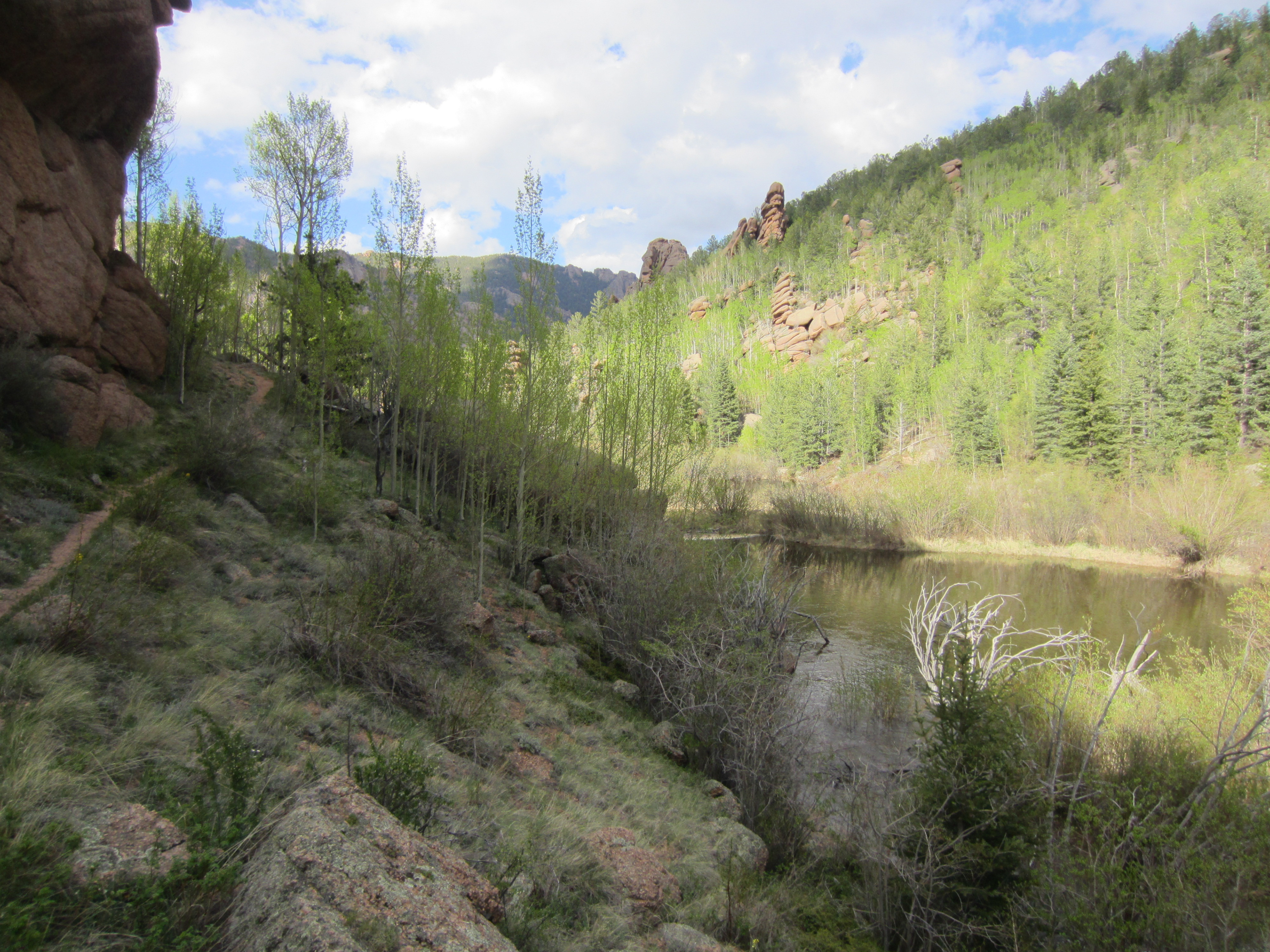
Looking upstream
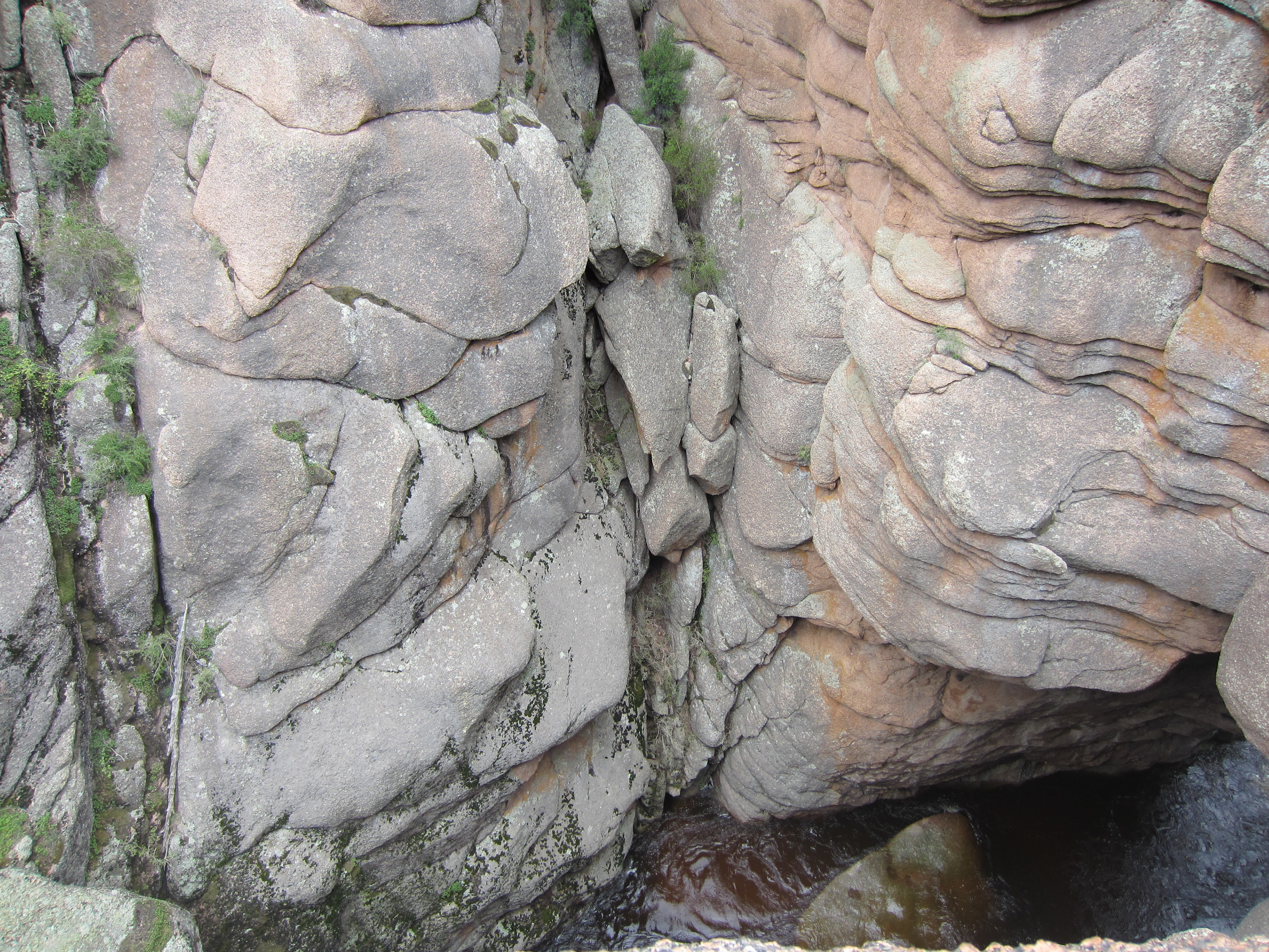
We climbed onto the rocks above where the river was appeared to be coming out of the mountain. It turns out the river was just tearing through a very narrow gorge that was partially covered with massive (i.e., as big as a small house in some cases) boulders that had created a quasi-roof in some places.
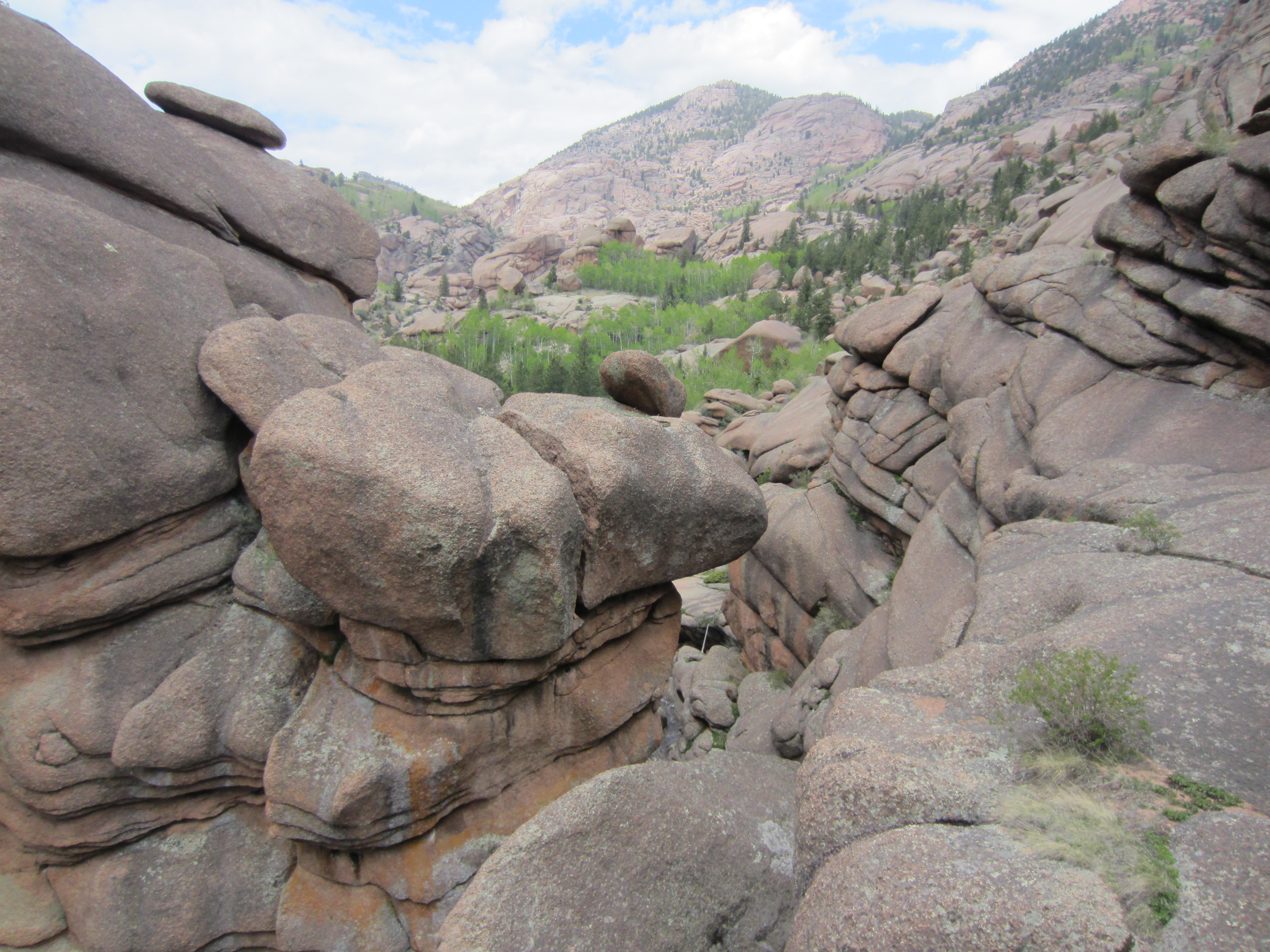
Nice, grippy rock, that shreds your hands, but makes you feel better when walking on it to take pictures.
After hunting around for a bit, we found the actual trail, which ran parallel to the river for another ½ mile or so. Someone had set up a rope to help with crossing the creek (still at least chest deep) via a single log. They had employed the old adage of, “If you can’t tie a knot, tie a lot.” The rope seemed to offer a false sense of security until you got half way across where it moved far too much to be anything other than a distraction. We untied the mess and cinched it down till it rang with a beautiful C sharp (or is that D flat???....all those piano lessons gone to waste when they could have purchased gear….).
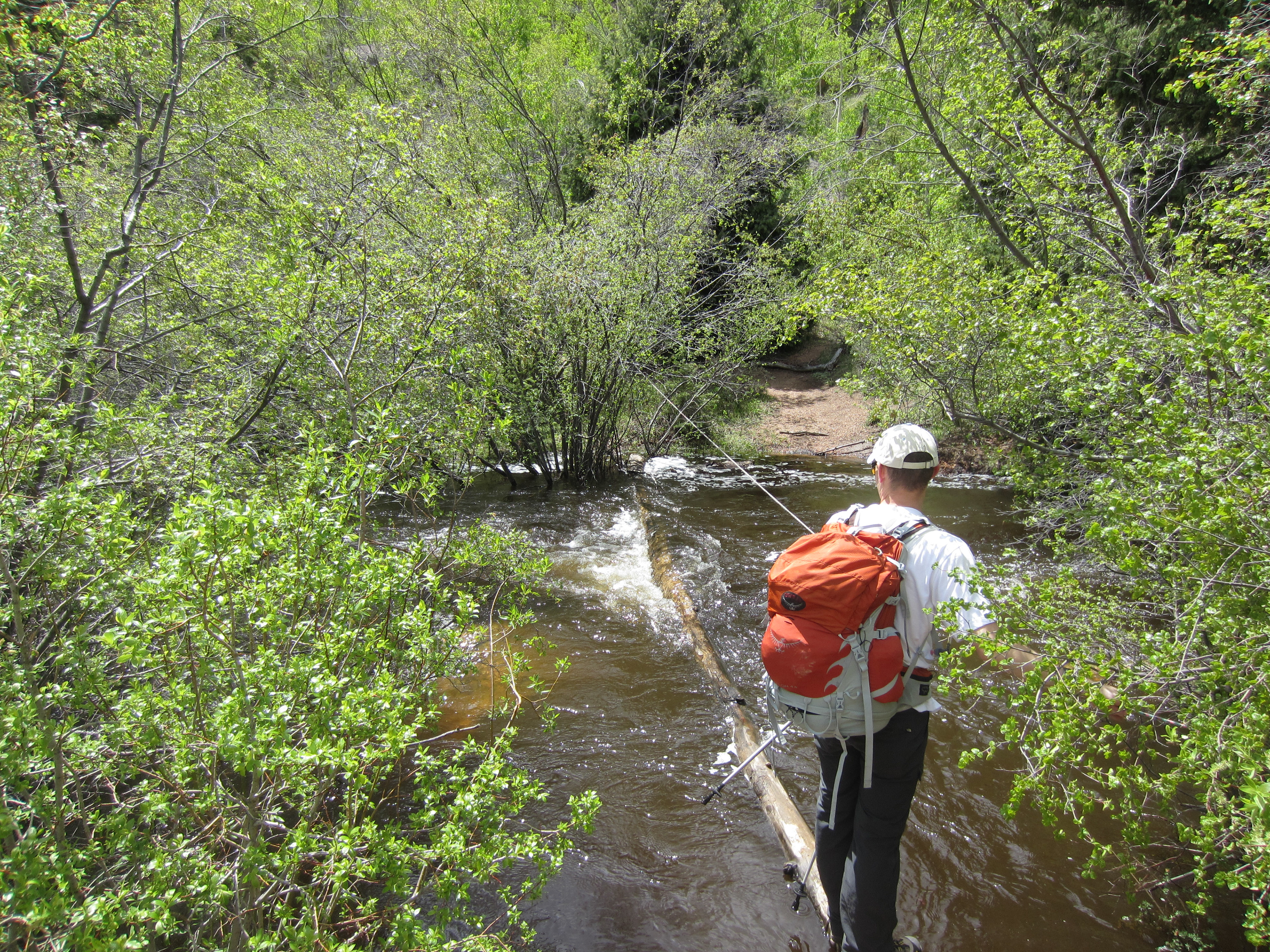
After we cinched down the rope, Devin tied a bowline around his waist with one end of the rope, shed some gear and clothes and gave it a test run. The water ran about shin deep over the log when you were on the middle of it, but other than that, it looked like a reasonably safe way to cross. However, some bad information predicted about 3 more river crossings, and waste deep snow over the pass. Given all this, we stayed on our side of the river, set up camp (Trailstar, bivies, sleeping pads and bags), snacked, and chilled till about 4:15. At that point a hiker came by (moving the same direction we were) with a report from another group that the snow wasn’t that bad and that the future river crossings weren’t either. At 4:18, we decided we were going to go for it. At 4:28 we were 100% packed up and back at the river crossing. We rolled up our pants, tied our boots together and slung them around our neck, and undid all the straps on our backpacks, in case we fell in, and worked our way across the log. A few minutes later we were safely on the other side, rubbing dirt on our feet to try to dry them out. A minute or two after that, we were starting the long climb upwards.
We felt pretty solid for the first couple of hours after our relaxing stay in what we thought was going to be our camp for the night, which was dry, sheltered, and comfortable (a little foreshadowing that our actual camp for the night may not have those same qualifications).
It was interesting to watch the aspen trees as we climbed. At our initial camp, they were covered in full sized leaves. After a while it changed to brand new, small leaves, and as we got higher, they were completely void of any leaves at all.
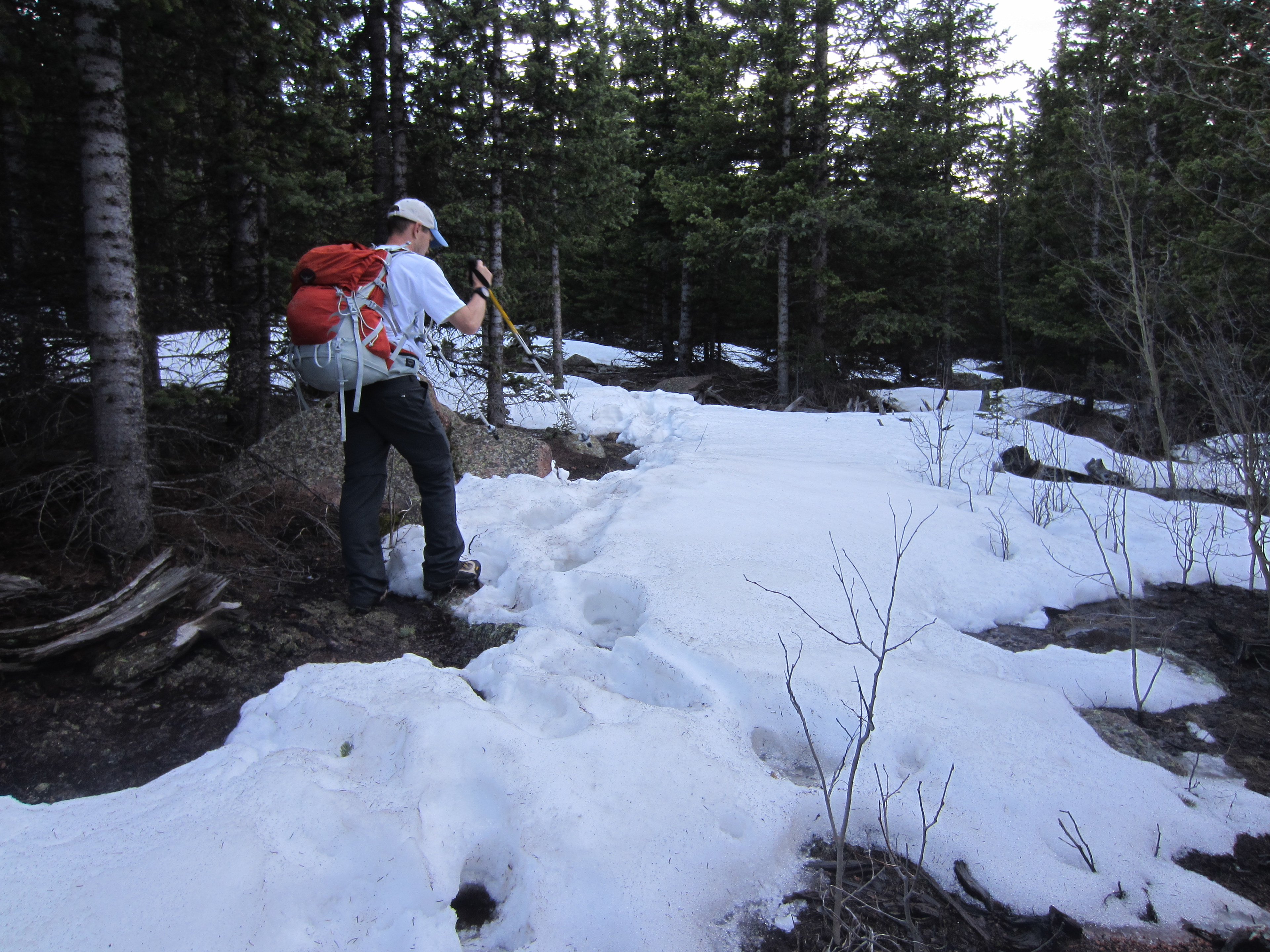
Somewhere around 10,000 feet, we started hitting the snow. It wasn’t too bad at first, but it became more extensive the higher we went. By this time, the adrenaline of “Yah, we don’t have to sit here in camp, let’s go for the big loop” had worn off, the afternoon snack and been metabolized/burned, and we were starting to drag. The problem was that everywhere we looked presented three options for stopping to set up camp: (1) – gushy, knee deep snow, (2) steep hillside with gushy, knee deep snow, and (3) ice cold snowmelt ponded on top of the ground. So we kept pushing on till about 7:30 PM when we reached 10,700 feet (about 15 miles for the day) and found a flat spot that was elevated above the ponded water around it.
We set up the Trailstar, blew up our pads again, laid our bivies out on the damp ground, then started boiling some water to warm up with some nice dinner. About 3 minutes after we started cooking, mother nature unleashed a pretty impressive storm. At first it was just torrential rain and wind, then it shifted to a more interesting mix of rain and hail. Fortunately, there were just a few big lighting/thunder events. It lasted long enough to drench us and for a good bit of rain/water to work under the Trailstar (not in a sheltered, dry, or super comfortable spot).
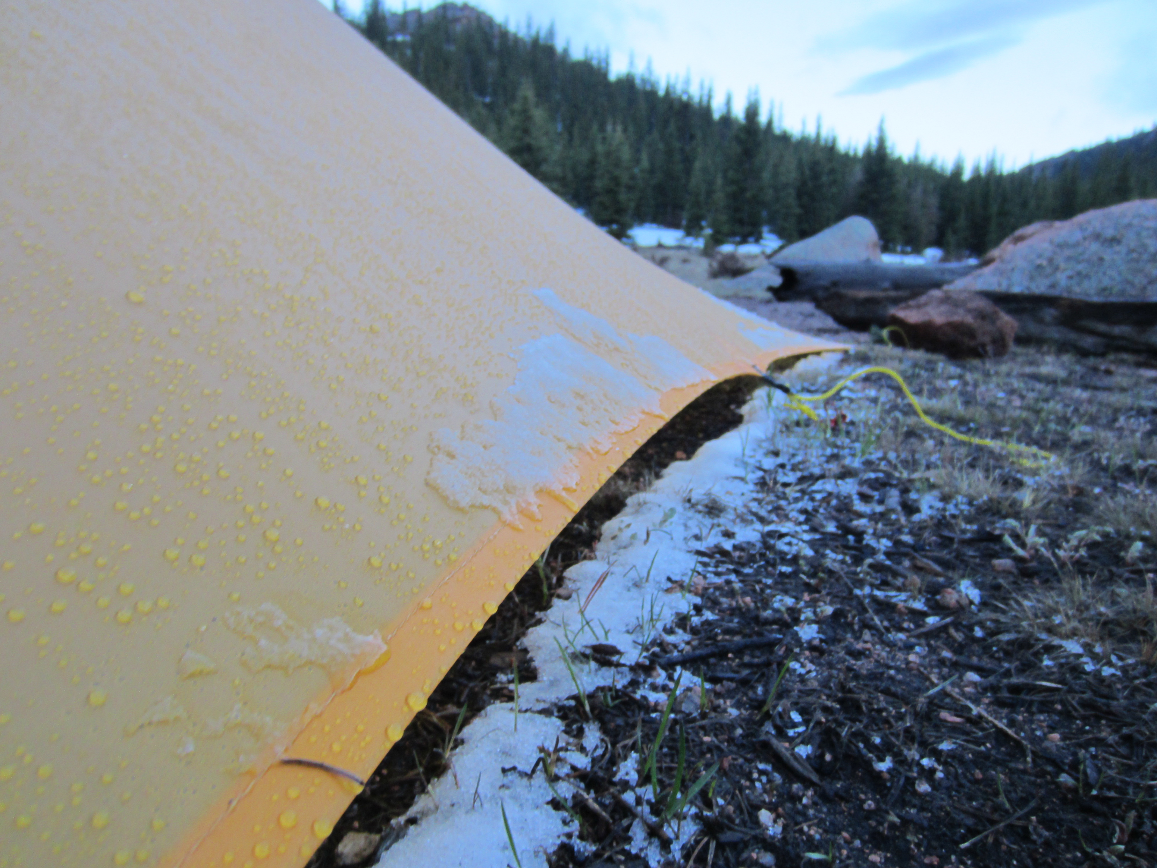
Rain and accumulated hail on the edge of the Trailstar.
Fortunately, aside from some wind, it was a pretty uneventful night with no more precipitation. We woke up to mostly clear skies and frozen puddles all around us. It always amazes me what some sleep, enough food, and a rising sun will do for your spirits. We started the new day ready to complete the loop.
We were on the trail by 7AM and after about ½ an hour came across two guys that were camped. They had come over the pass we were planning on taking and said it was miserable even though they were going downhill. Waist deep snow, sinking to your knees or waist with each step, treacherous footing and other related adventures led them to recommend that Devin and I not take that route. We consulted a map and decided on another route that would keep us about 1,000 feet lower than this summit, but that added a few miles to the overall route.
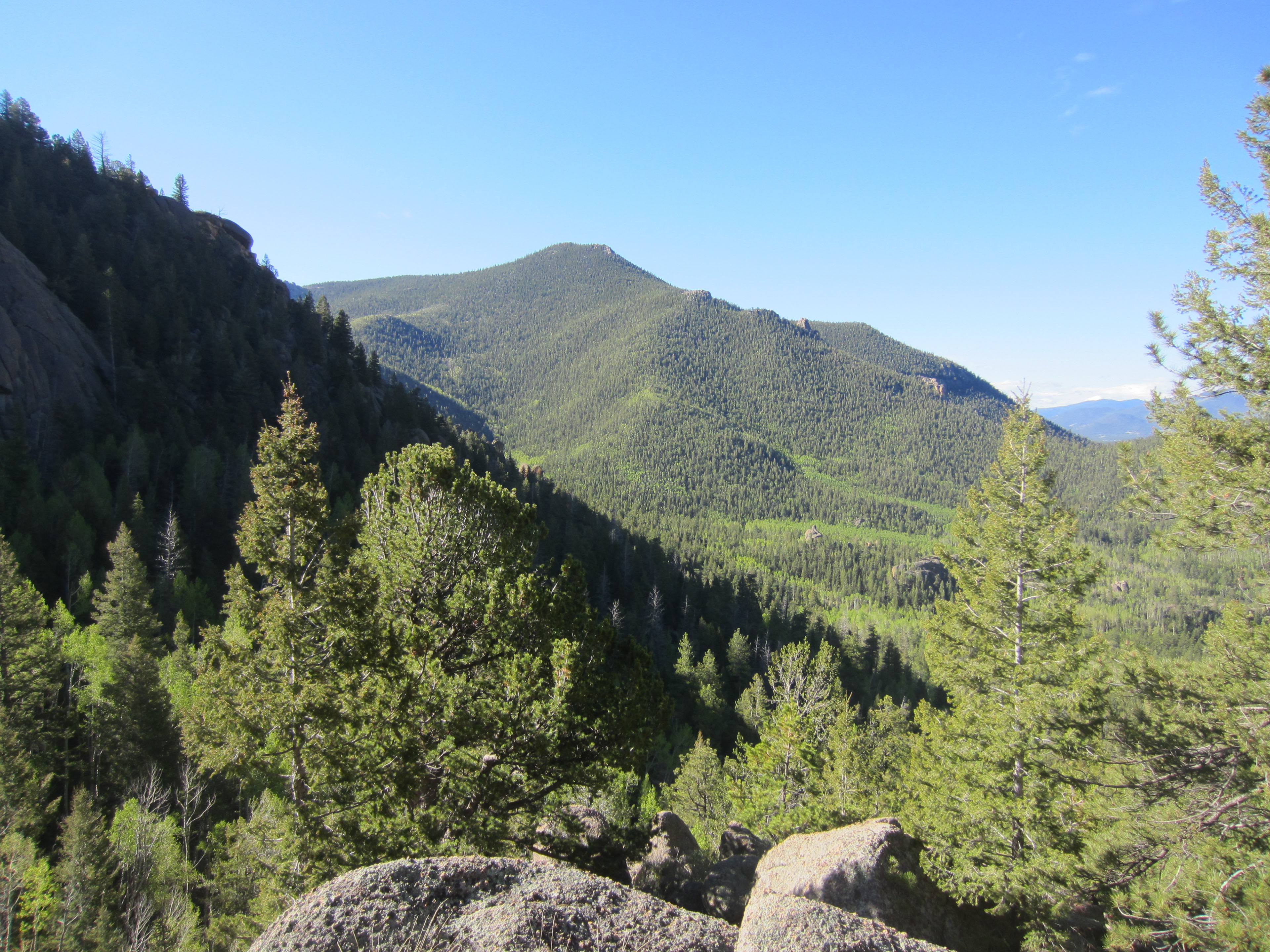
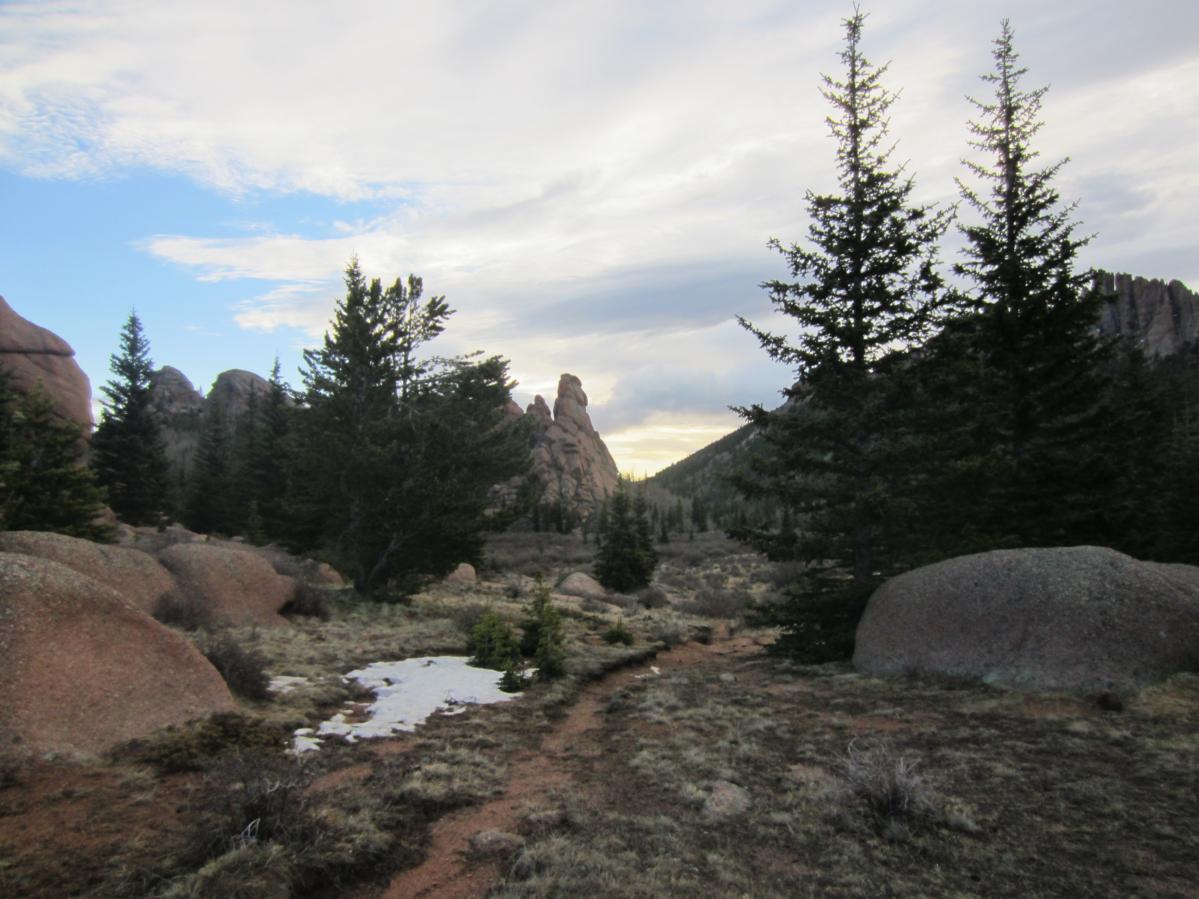
That turned out to be a great decision. The route we chose was beautiful, generally dry, and still took us through some great scenery.
The weather was great until we were about ½ mile from the trailhead, when it started to rain once more. We hustled to the car, shed our packs, and worked our way home after completing the 26-mile loop.