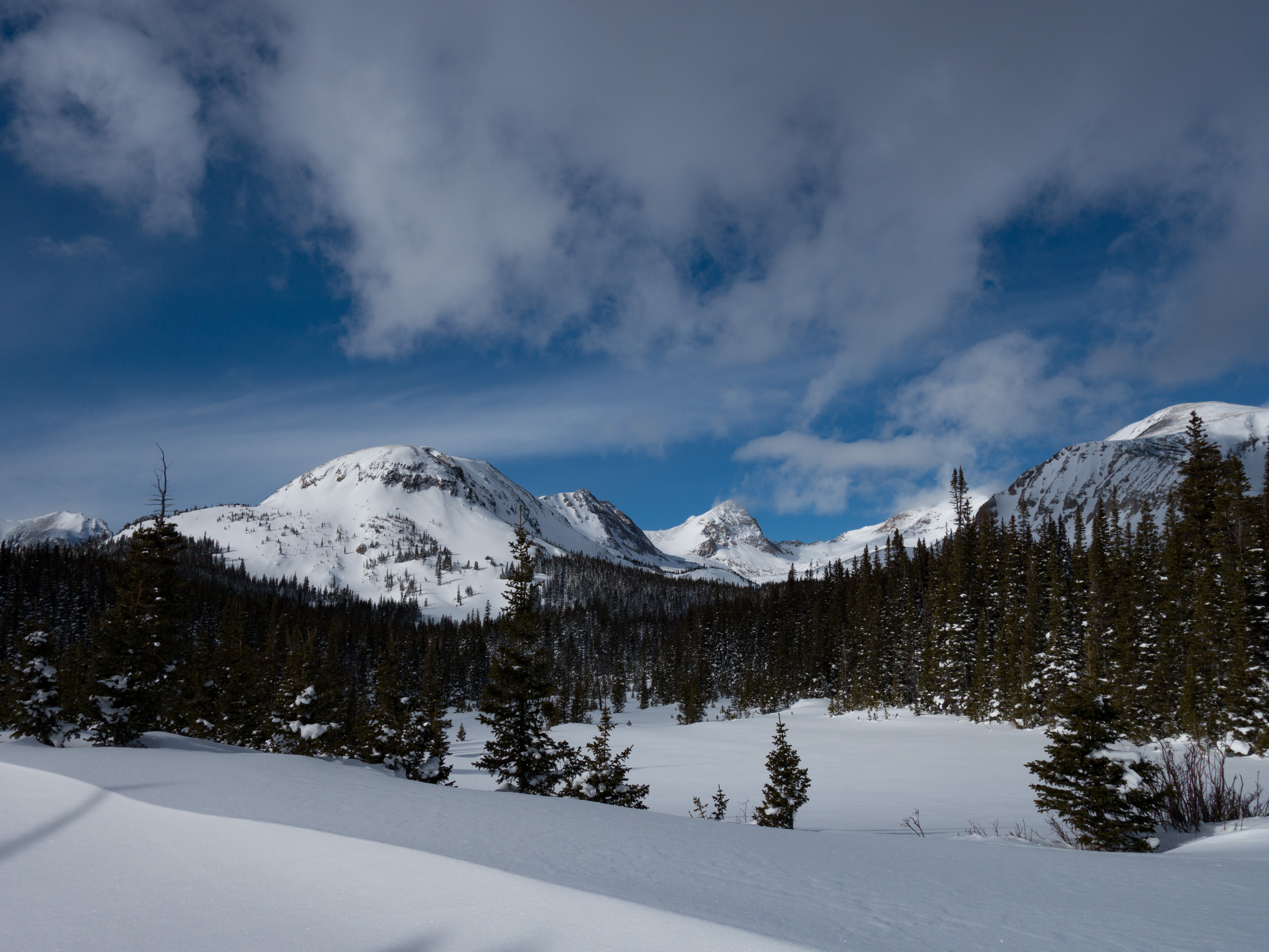
Date: May 13 and 14, 2016. This trip was originally planned for April, and I think that is a better time to do it, but a 15-inch snowstorm in Denver shut down our April plans and so we shifted this hike to May.
Location: Little Books Cliffs Wild Horse Area – Coal Canyon Trailhead
Distance: 21 miles
Cumulative Elevation Gain: 3,500 feet
Weather: Highs in the 80s (HOT for backpacking) and lows in the low 50s or maybe high 40s
Group: Greg, Christian and Mat
The Little Book Cliffs Wild Horse Area is 36,113 acres of public lands. Within this zone is the Little Book Cliffs Wilderness Study Area, which consists of 26,525 acres. Several wild horse herds roam around the Wild Horse Area, apparently from about 80 to 120 horses total. Though wild horse herds live in many parts of the western United States, the Little Book Cliffs Wild Horse Area is one of only three areas in the United States set aside specifically for them. Every 3 to 4 years, 20 - 60 wild horses are rounded up and adopted out through a wild horse adoption program to control herd levels. Friends of Mustangs is a non-profit organization that works alongside the BLM to keep water holes and tanks flowing and clean (couple thoughts on that later), mountain trails clear and marked (couple thoughts on that too), help with gathers and adoptions, and even provide birth control to mares (via darting them with a birth control drug).
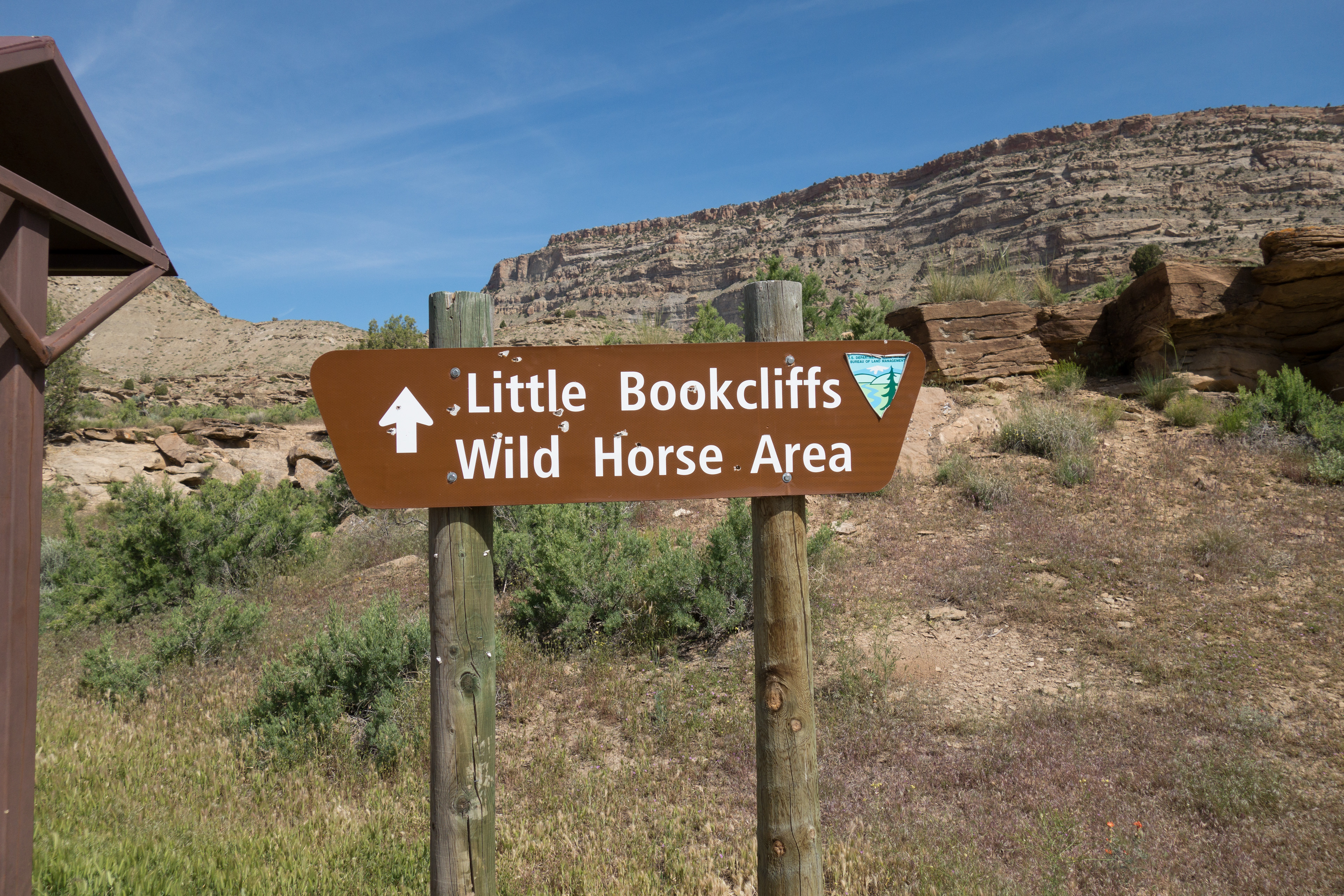
We left home at 5:30AM on Friday and drove several hours to the trailhead, which has a sign and a small board with a map of the area.
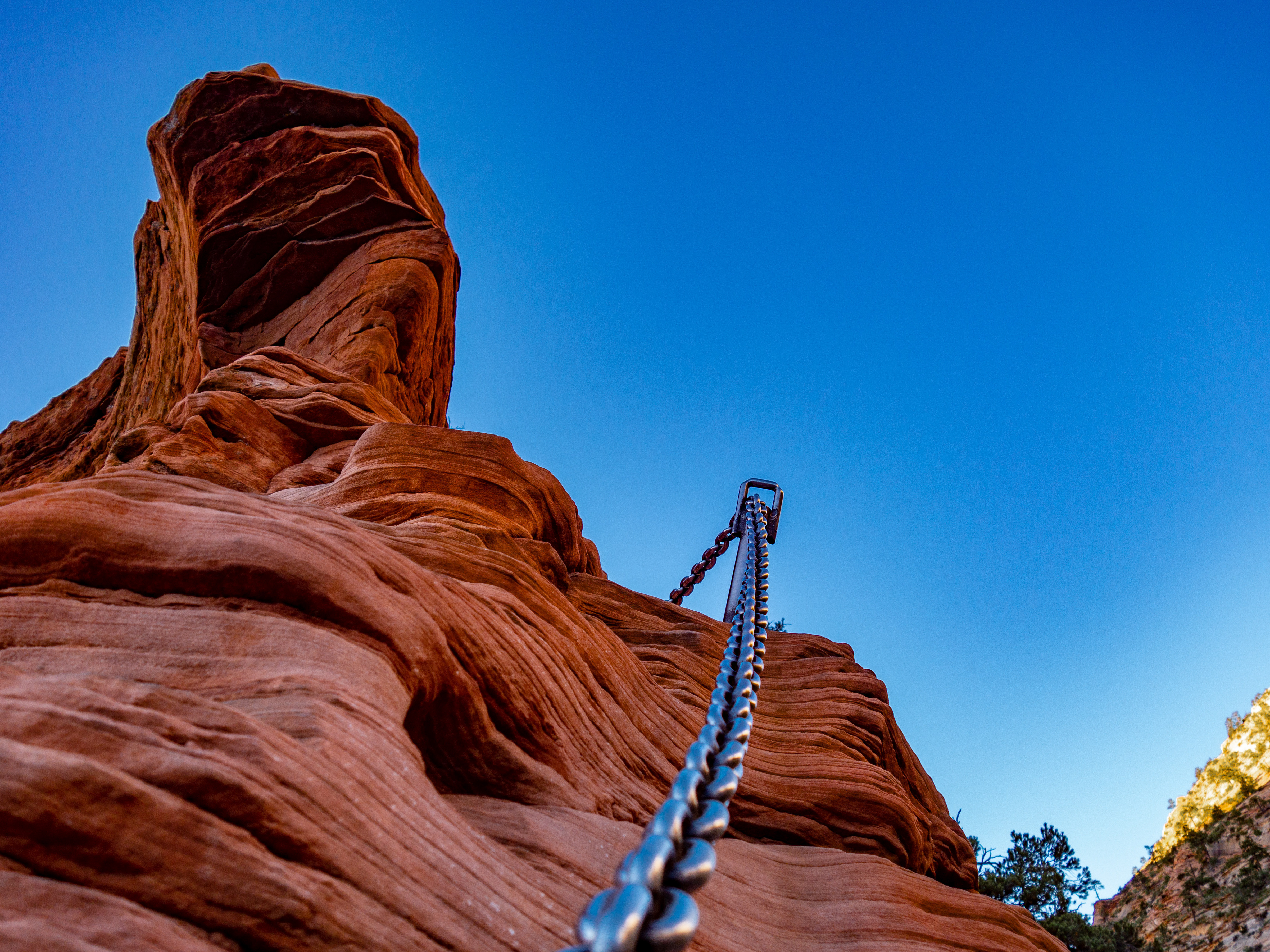
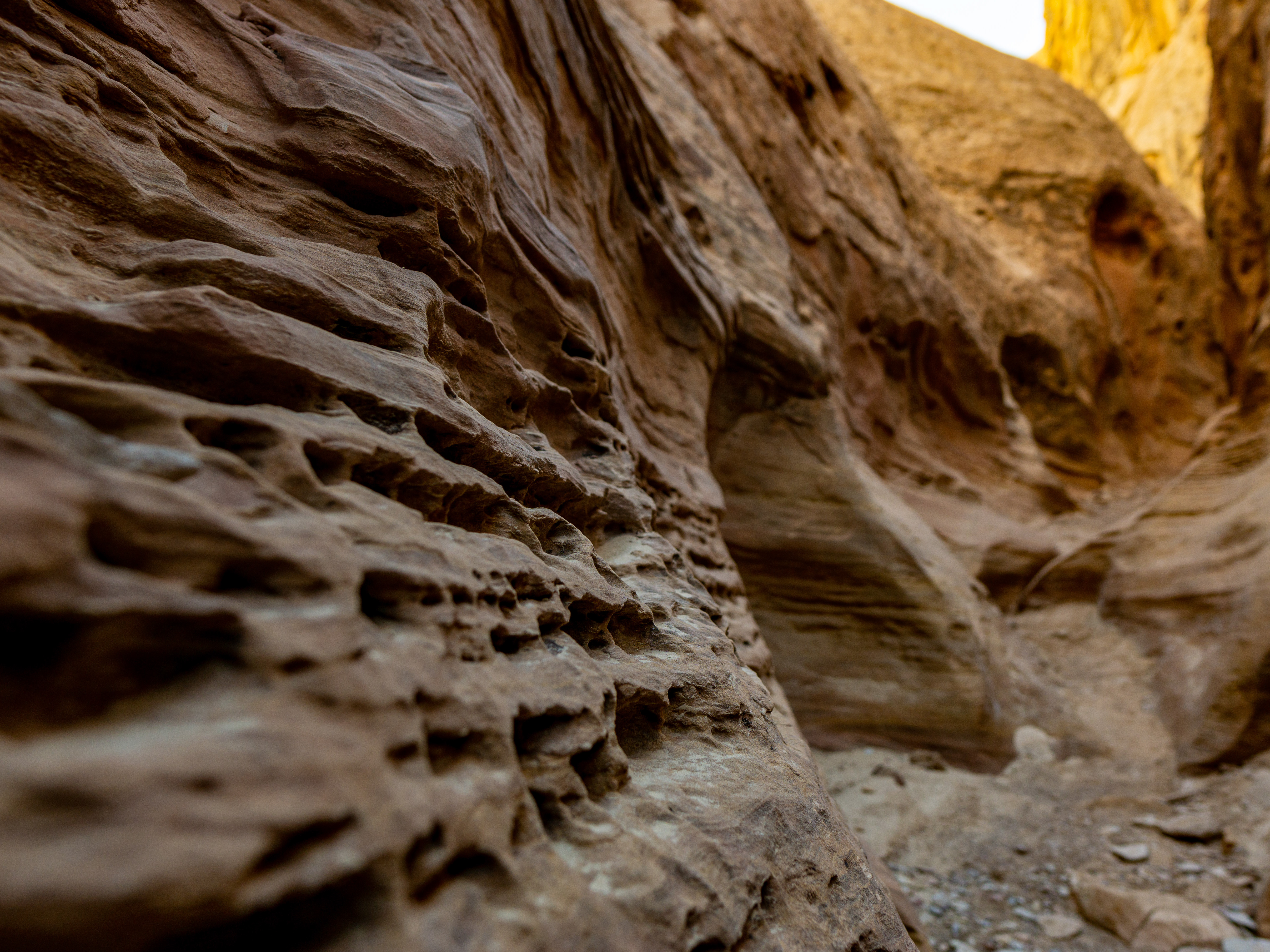
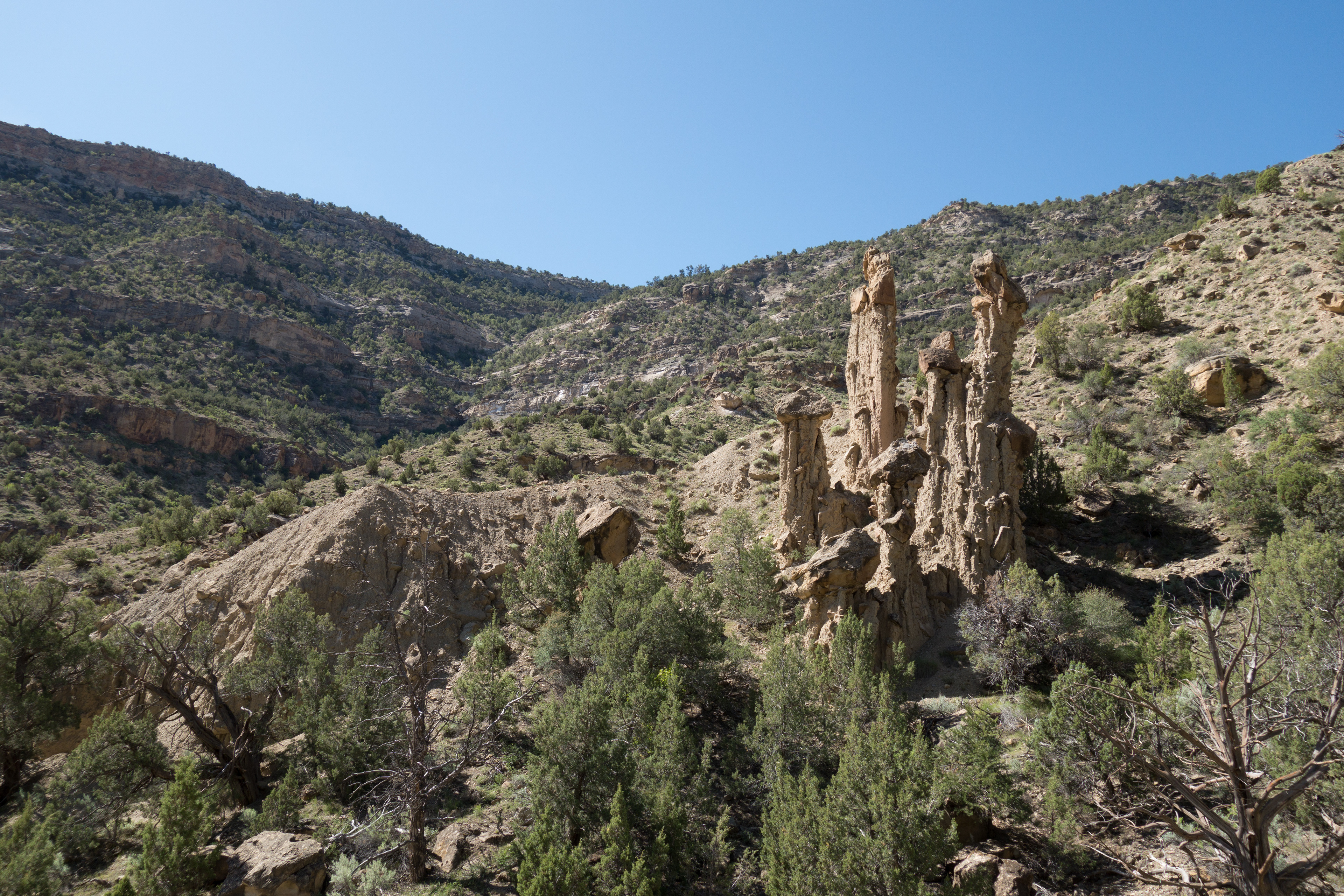
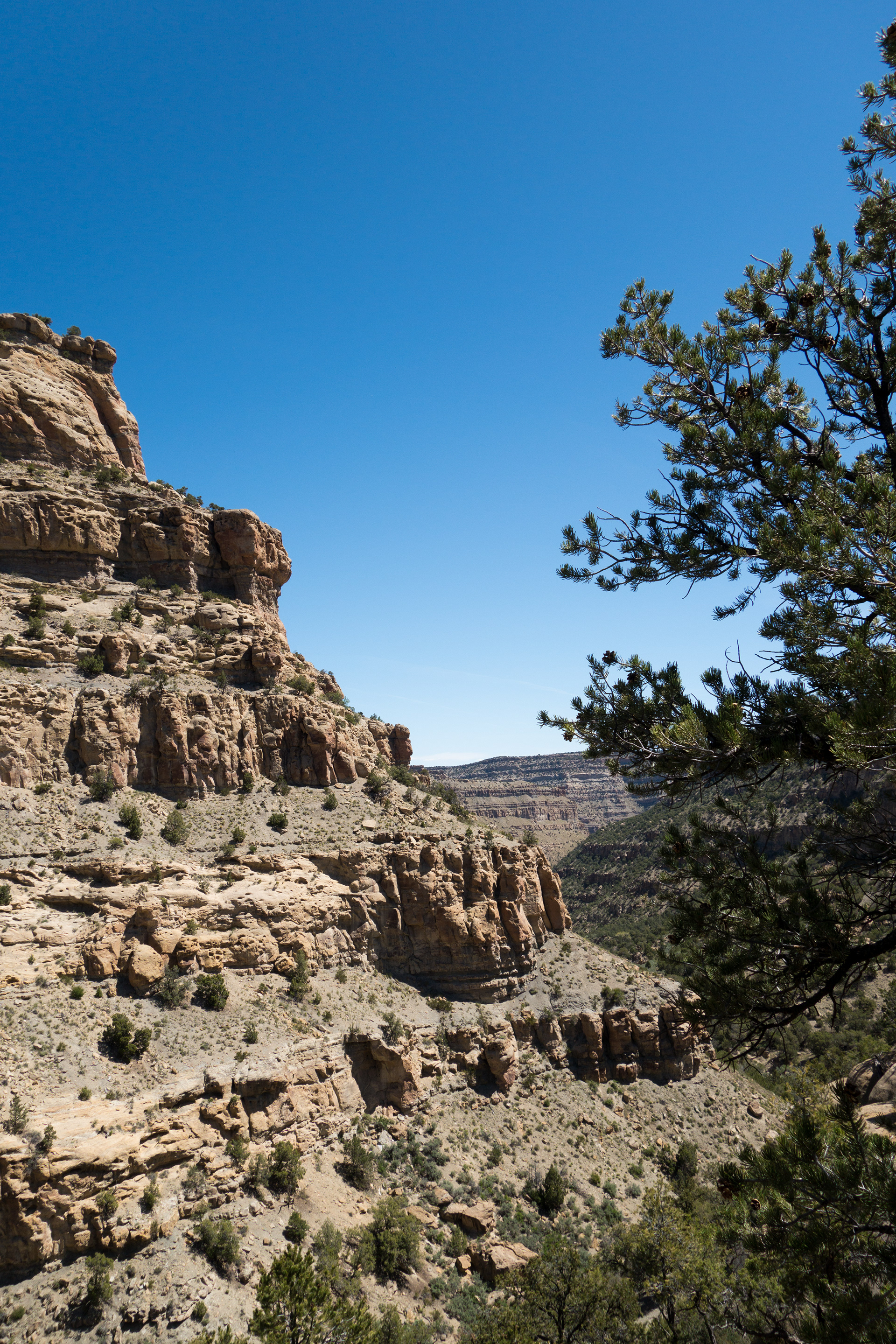
Early on we noticed the maze of trails that the horses had created. That wasn’t really an issue during the start of the hike, but became more of a challenge later. After hiking on Main Canyon Trail for a few miles, we headed up Spring Creek Canyon, which has some unique rock formations.

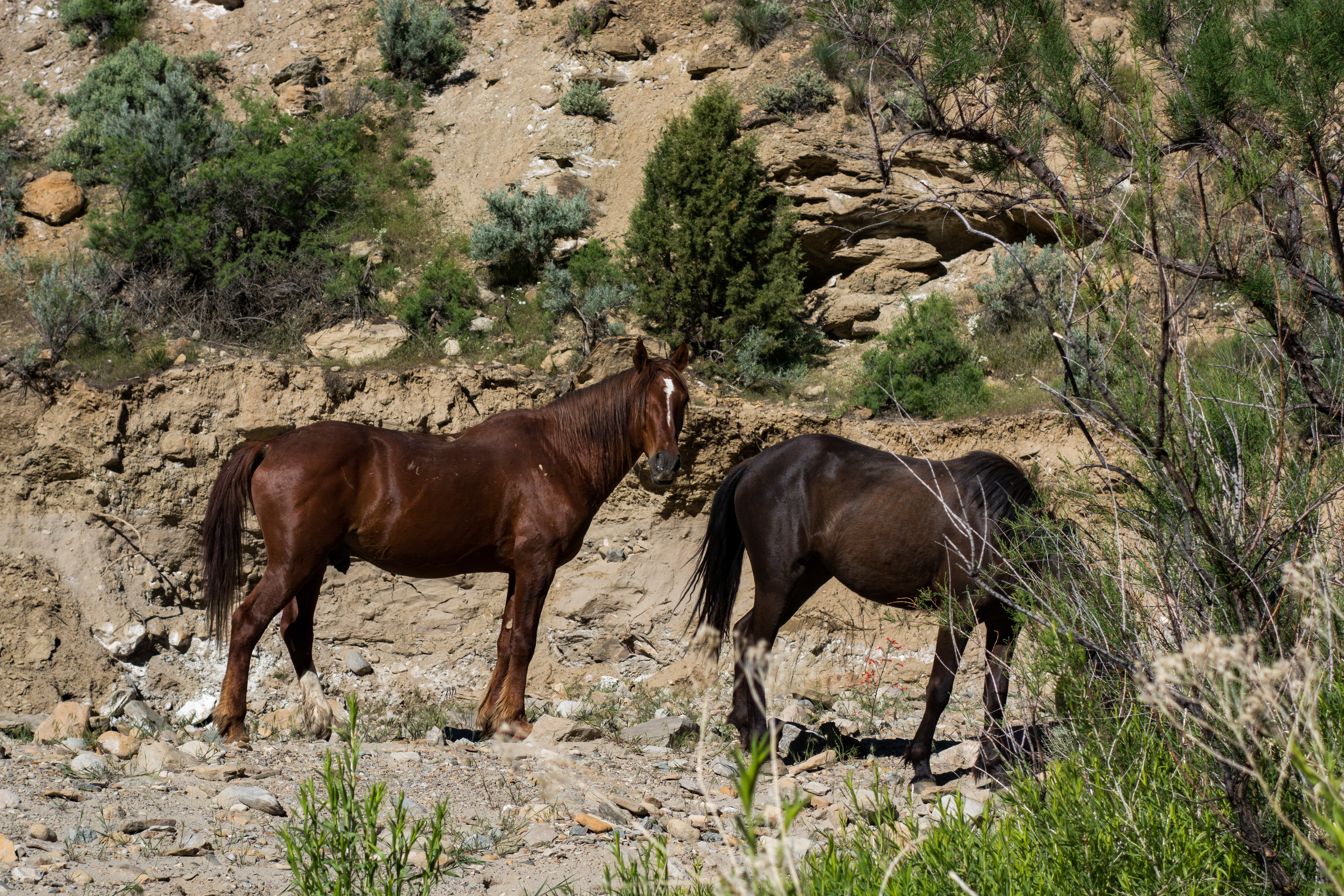
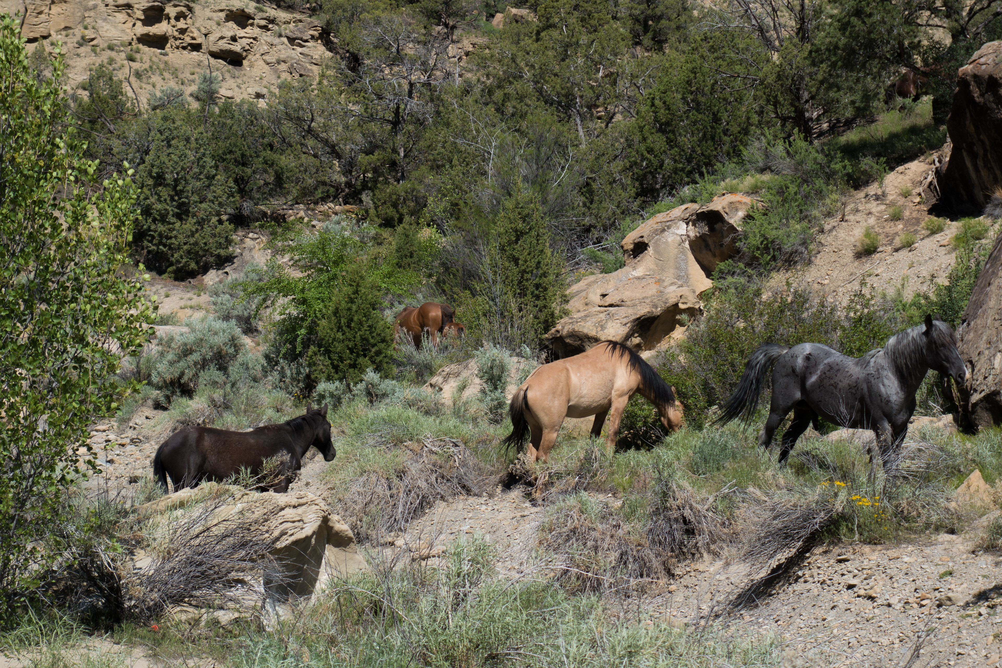
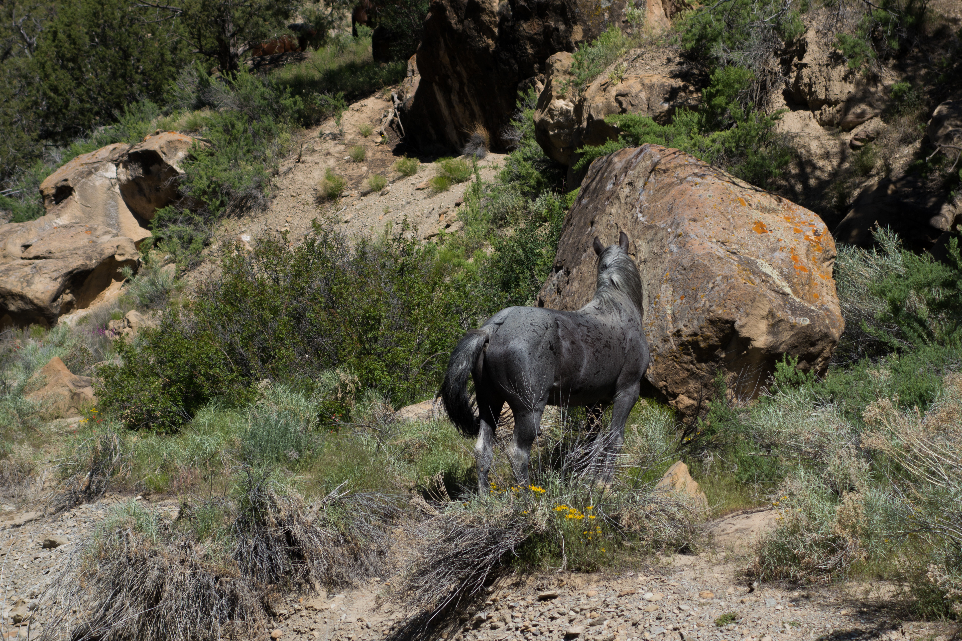
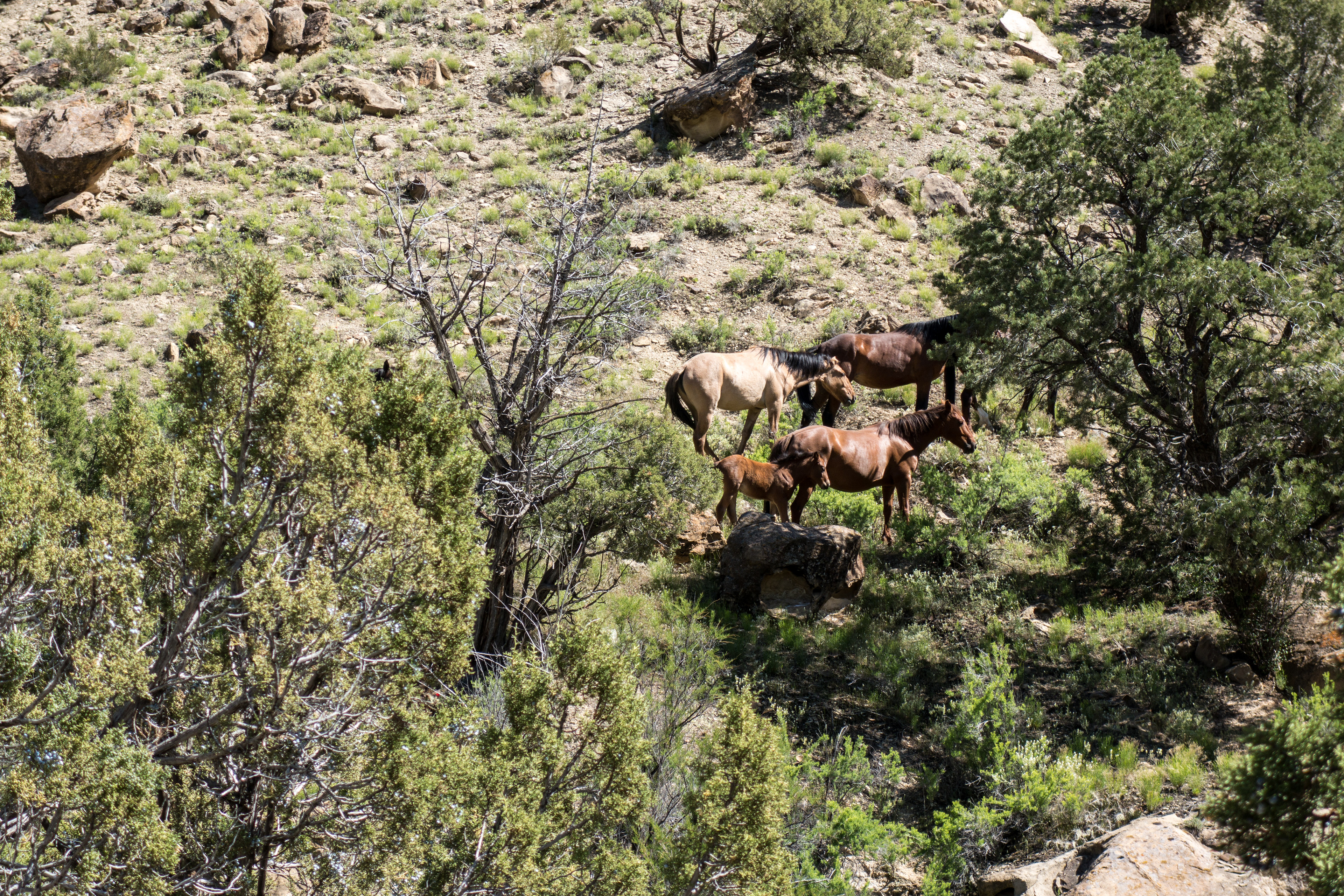
We were really hoping to see some wild horses and were lucky enough to see a herd of 7 about 4 miles into the hike. Later that day, we met a couple that had driven a Razr to the edge of the wilderness study area. When we showed them photos of the horses we saw, they pulled out a printed table from Friends of the Mustangs that identified each horse by name and color/markings. The blue roan on the right in the photo is named Snoopy Junior. He was very protective of his harem.


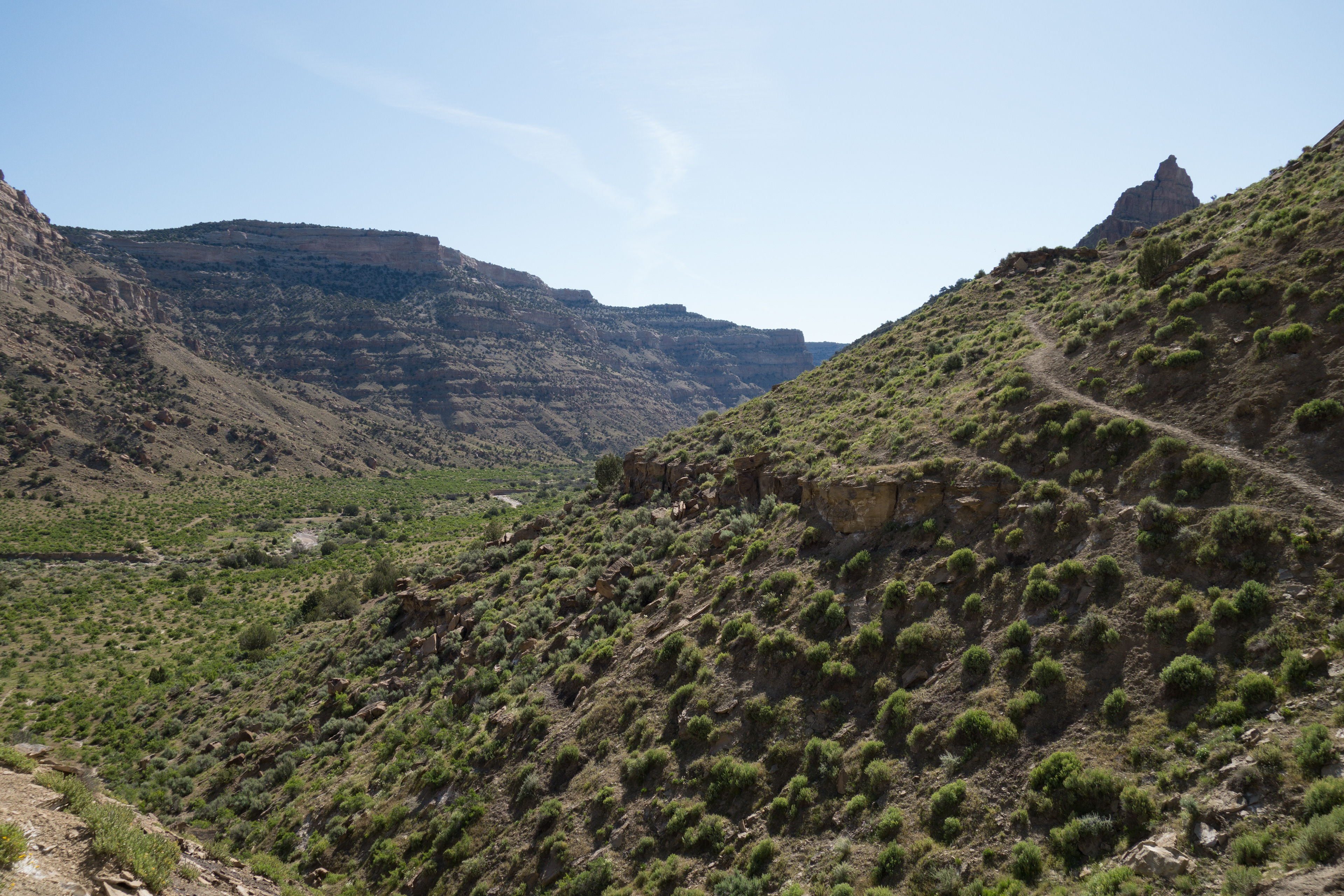
Soon after we saw the horses, the trail really started to steeply climb.
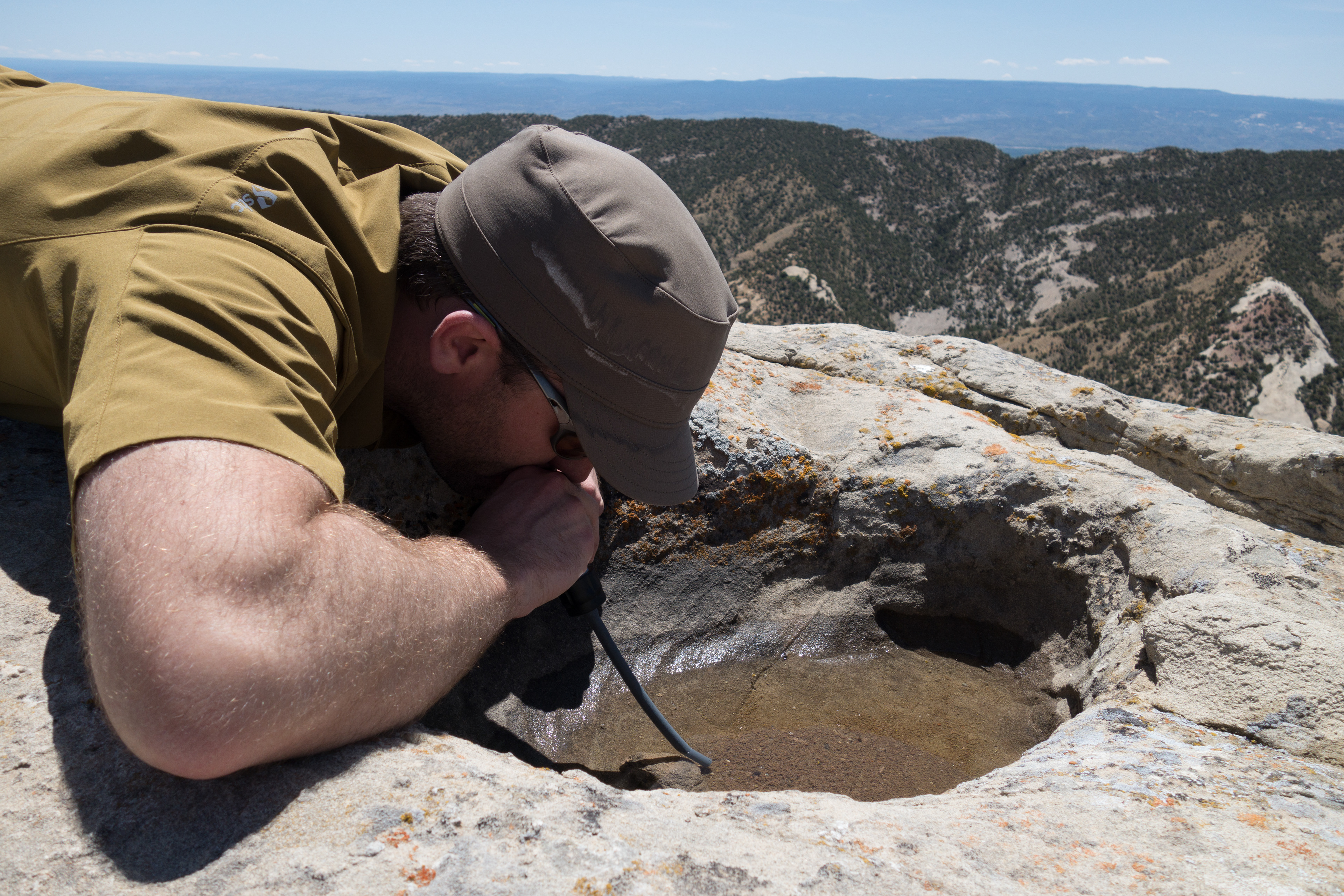
We had hoped to find a spring in Spring Creek or even a little flowing water in the creek itself, but we were out of luck. So when we found a nice pothole with water on a sandstone rim, we pulled out the filter and had a nice drink.

We stopped for a little snack, but after about 10 minutes Greg noticed about 10 ticks crawling all over him. Unfortunately, the ticks became a recurring theme for the rest of the trip (including the drive home). I think Greg achieved a trip-high removal of 20 to 25 ticks.
Climbing steep trails in the desert in the 80s makes for a thirsty trip. While we all started the hike well hydrated and had brought a fair bit of water, we were starting to get nervous about finding a source. We headed towards Adobe Spring and while we appreciated the Friends of Mustangs efforts to turn what undoubtedly would be a mud hole into something the horses could better use, it looked like we may need to make a return trip to help clean the system a bit. The tank was about ¾ full of silt and had a fair growth of flavorful algae/scum on top.

We came up with a system to treat the water that worked pretty well. After first trying to pre-filter with a coffee filter (at a rate of about 1 cup per 10 minutes), we shifted to pouring the water through a bandana (to get out the really big chunks and floaties) into water bottle then pouring from that bottle into the Sawyer Squeeze bag so we could put it through the filter. It wasn’t the coolest or cleanest water I have seen, but we were thirsty and grateful to have found the spring.

Adobe Spring – at least it is water – mostly.
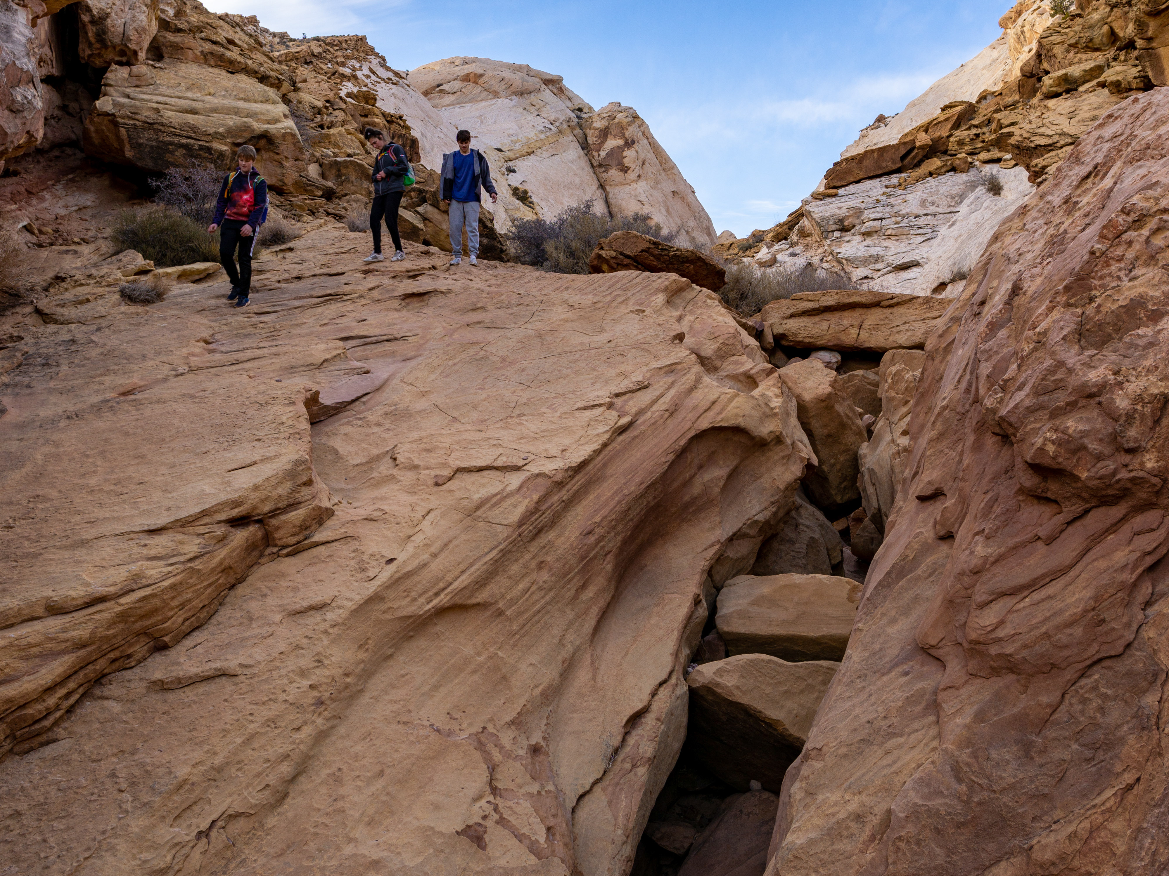
I will add at this point, that I do NOT recommend making this loop by yourself. The “trail” between Adobe Spring and the edge of the Wilderness Study Area is really not a trail. There are scattered (very scattered) markers here and there, a maze of paths that go from “I think this is it, guys” to “Wait – where did the trail go” in a matter of a few steps. It took all three of us, frequent reference to the maps (trail locations are more of a suggestion/idea that precise location on those maps) and heads on swivels to work through the next few miles.
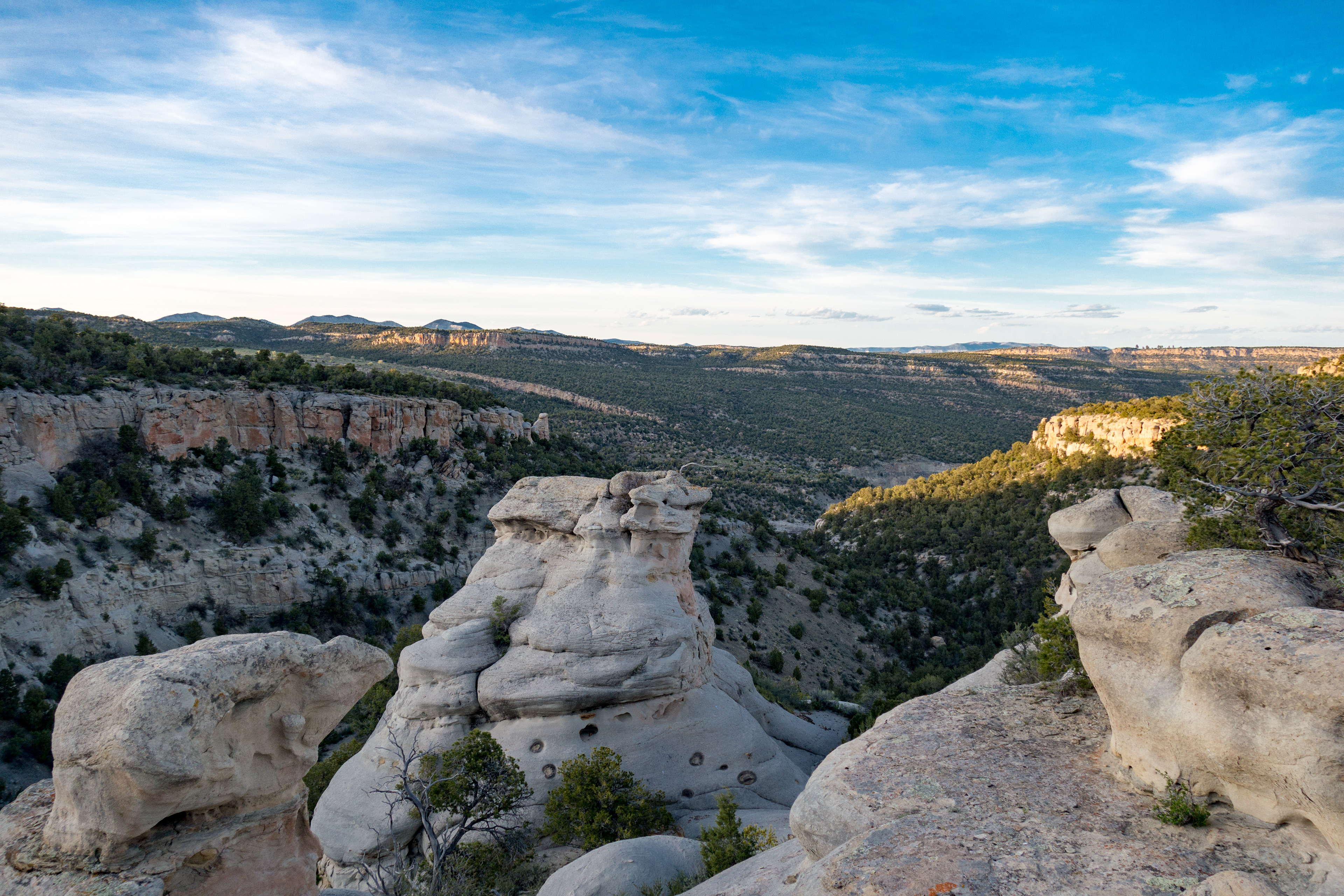
However, we eventually hit the edge of the Wilderness Study Area (encountered the couple previously mentioned) and then followed the two track “road” to Monument Rocks.
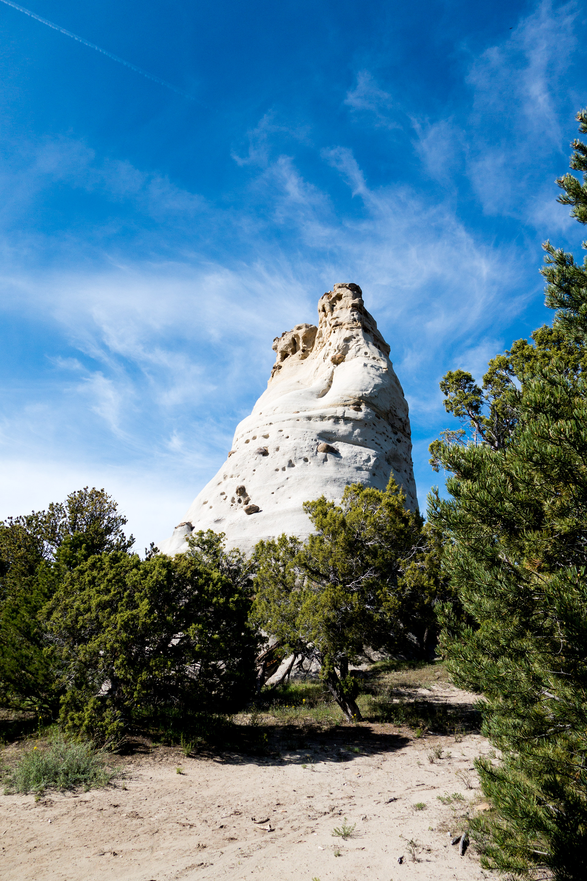

We took about 15 minutes at Monument Rocks to check them out and relax and then continued our hike to the junction with Cottonwood Canyon Trail, where we soon after encountered the cool, clean water from Aspen Spring. That spring was pushed into a small stock tank, but one free of organic growth and sediment.
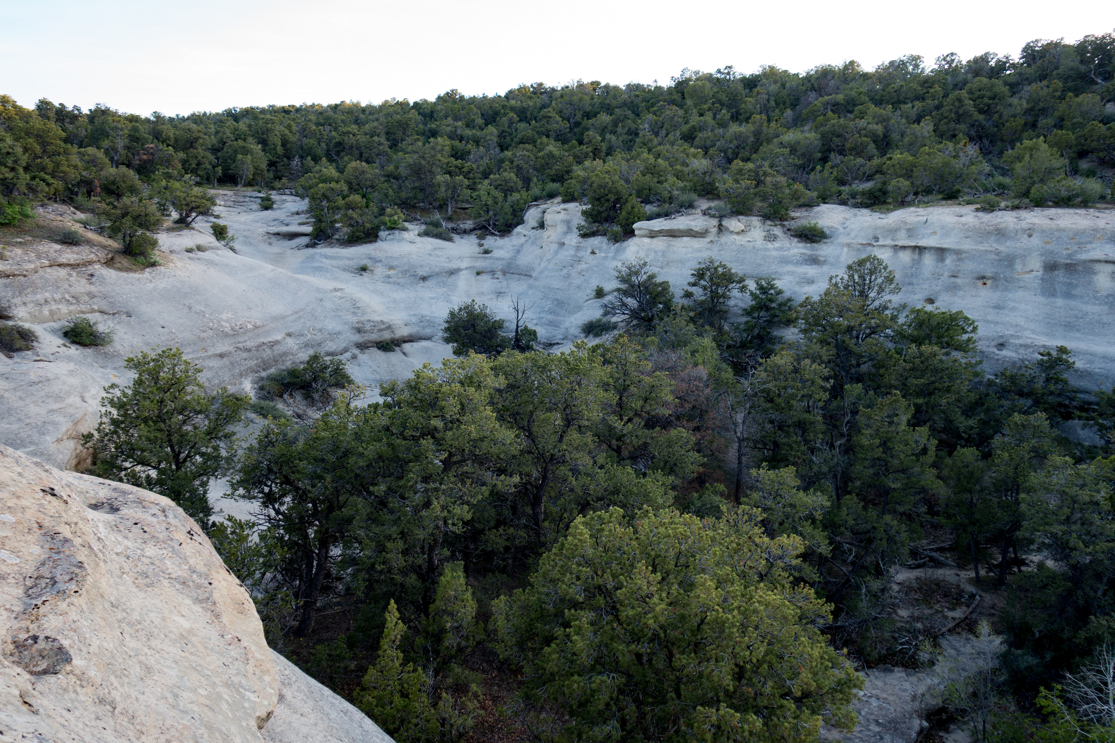
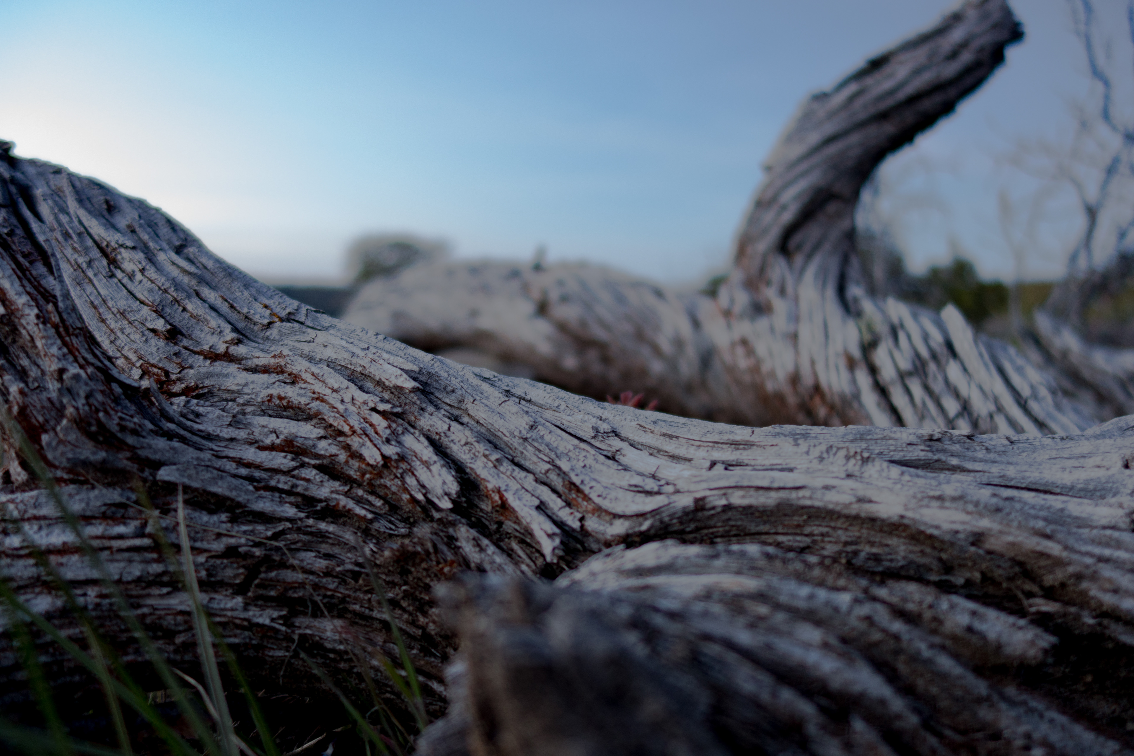
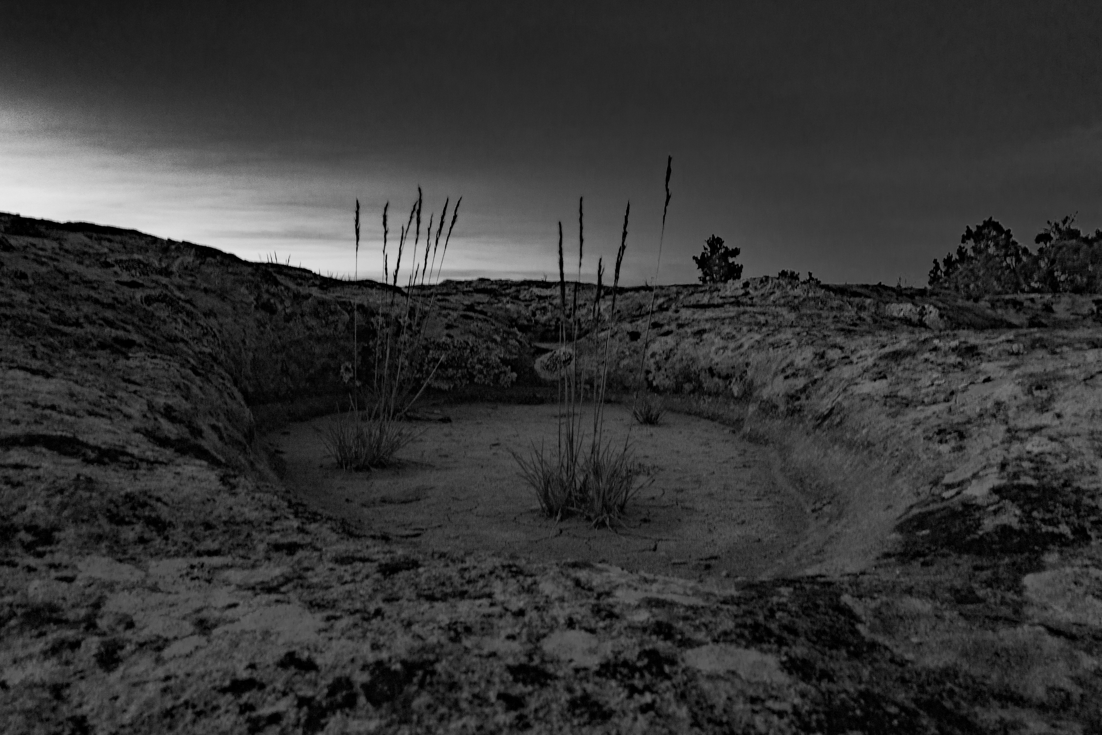
We camped inside this stone bowl (no sign or forecast of rain), making 13 miles from the trailhead.
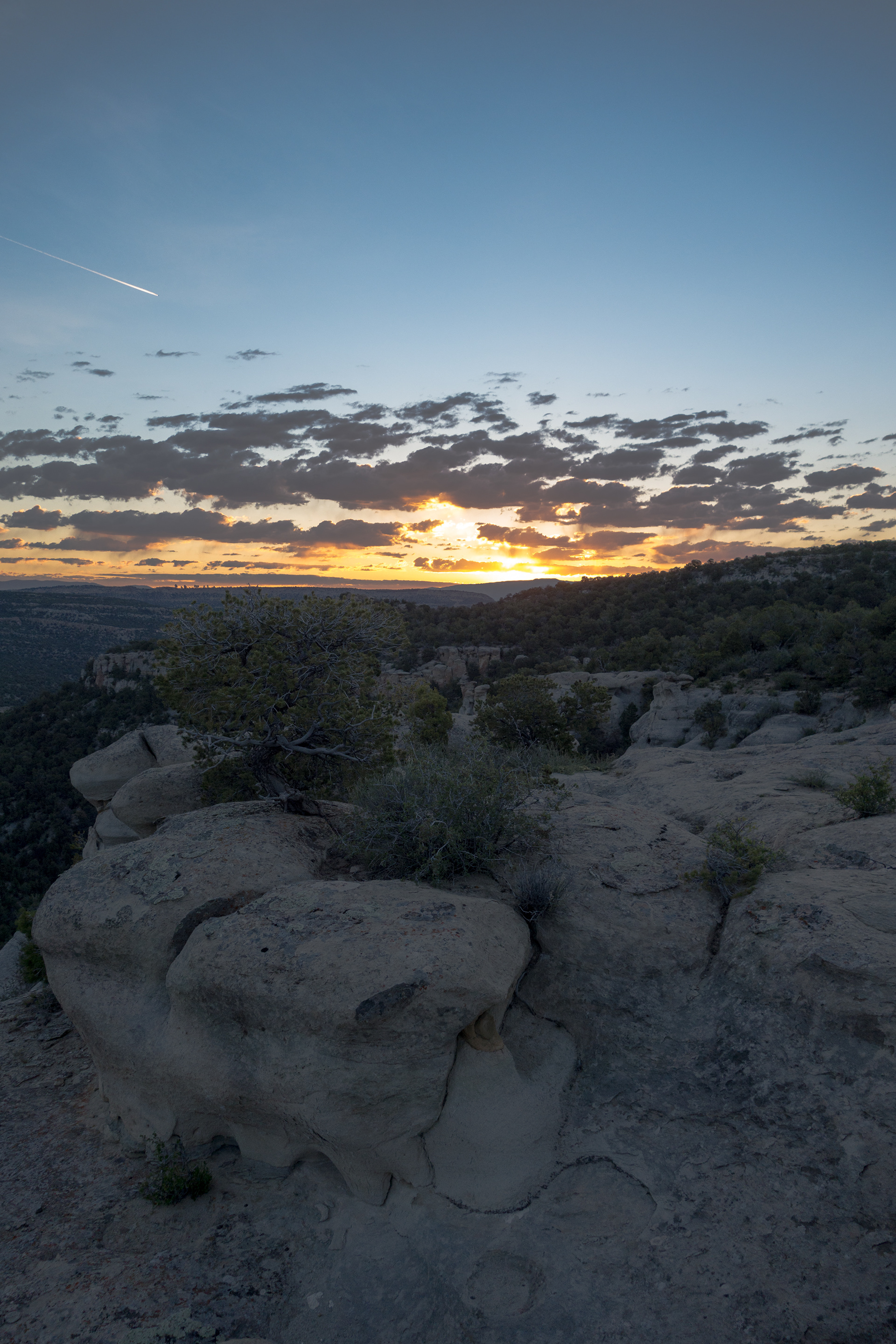
Sunrise
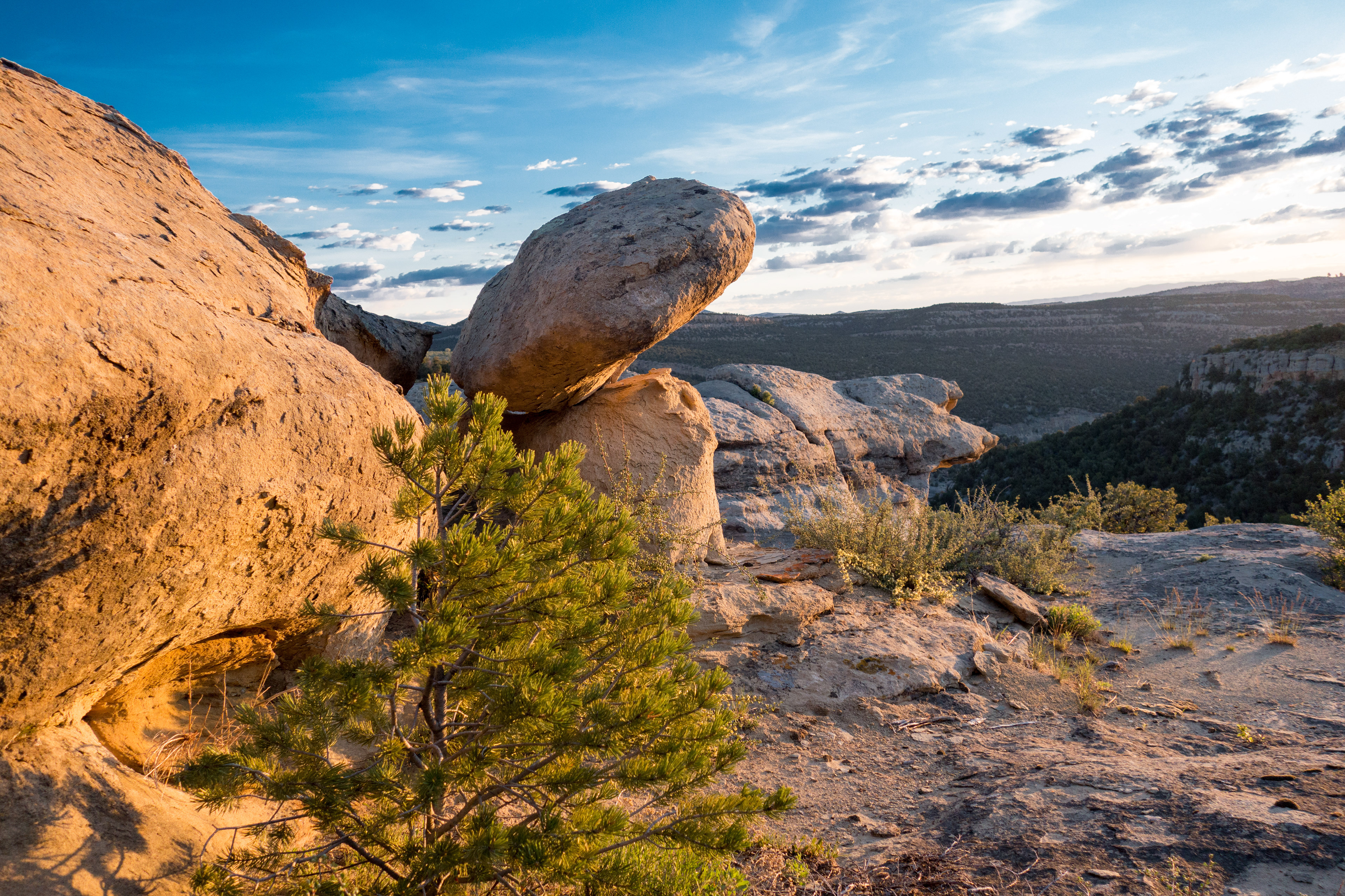
This rock was barely balancing in the morning light.

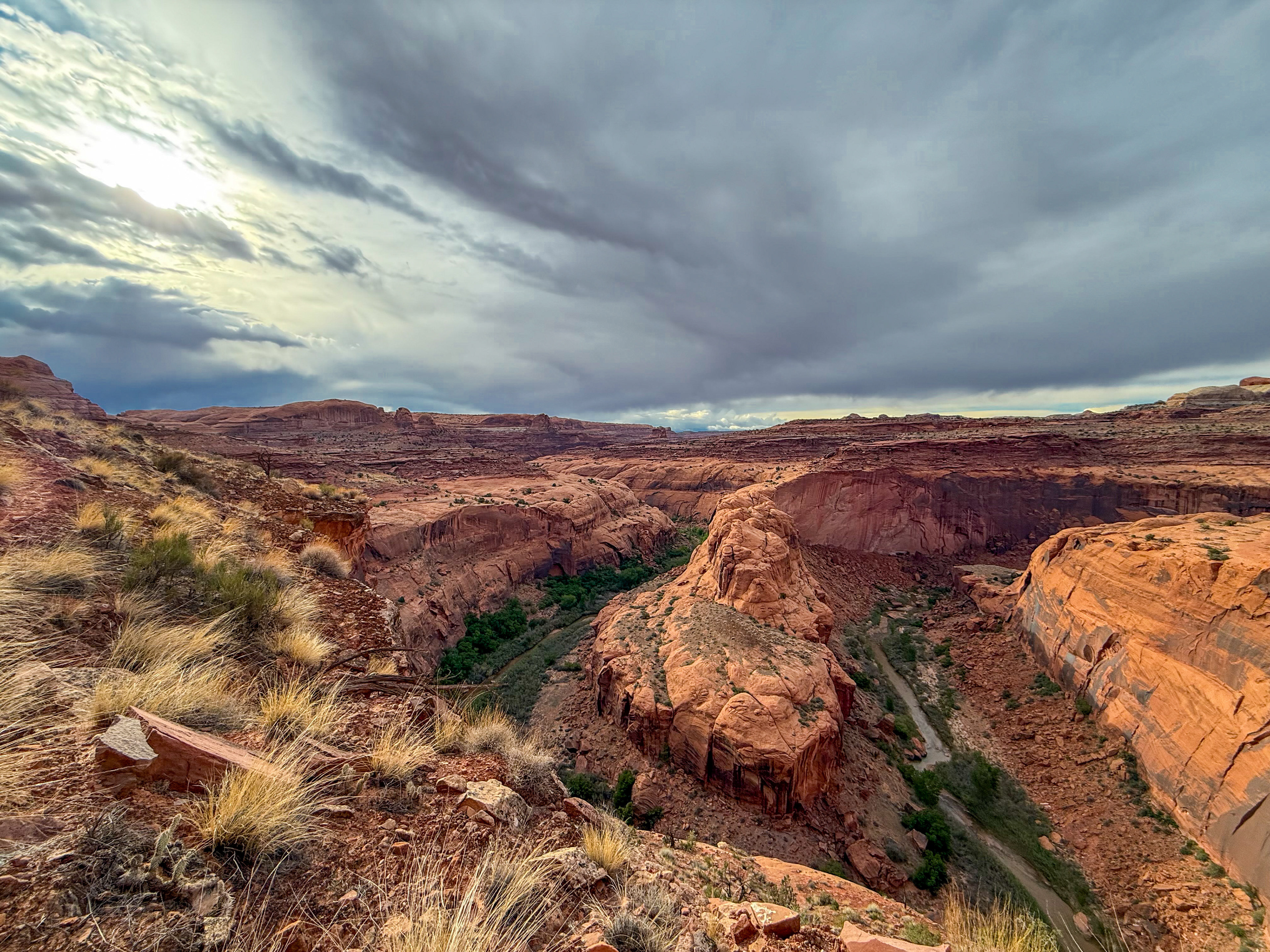
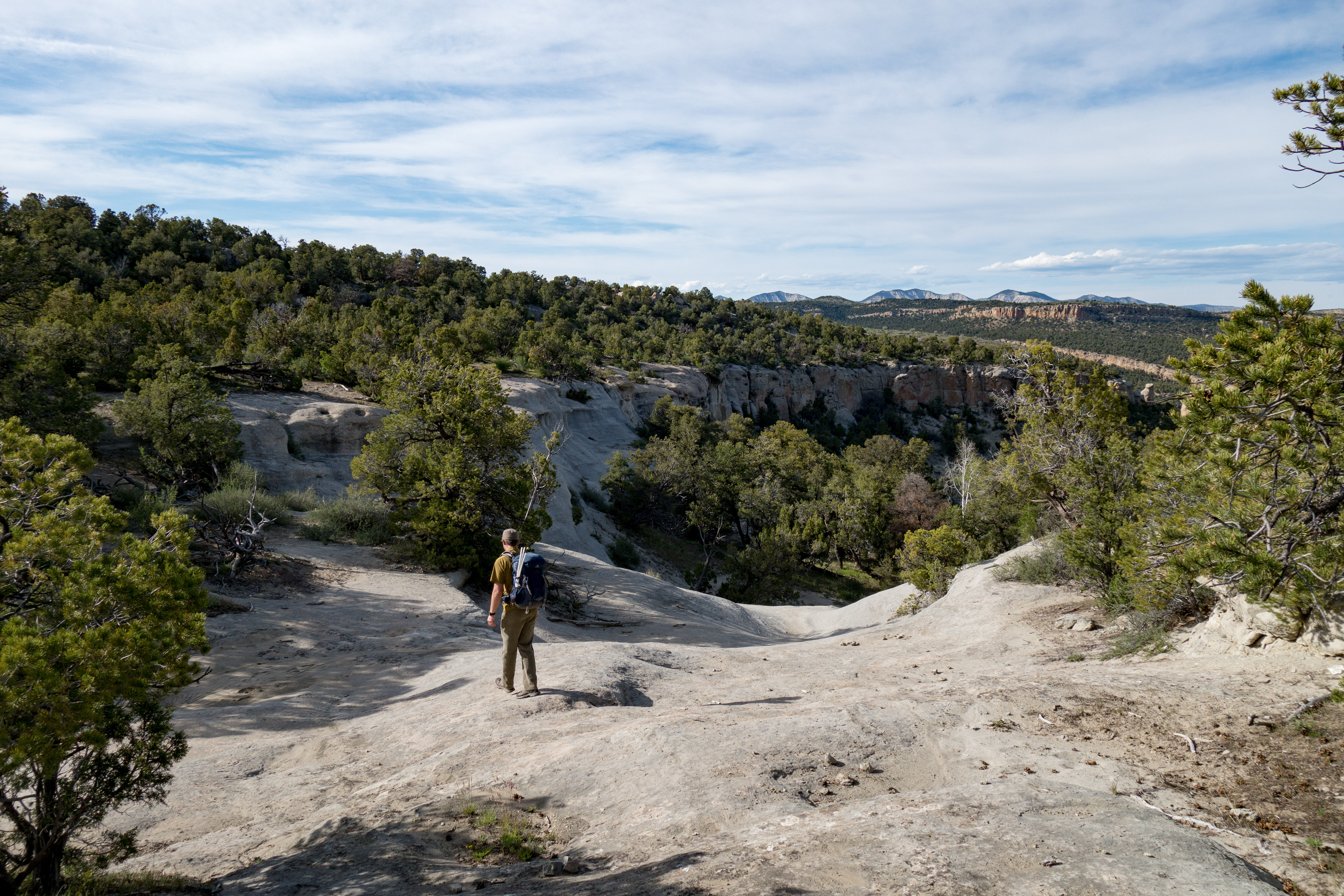
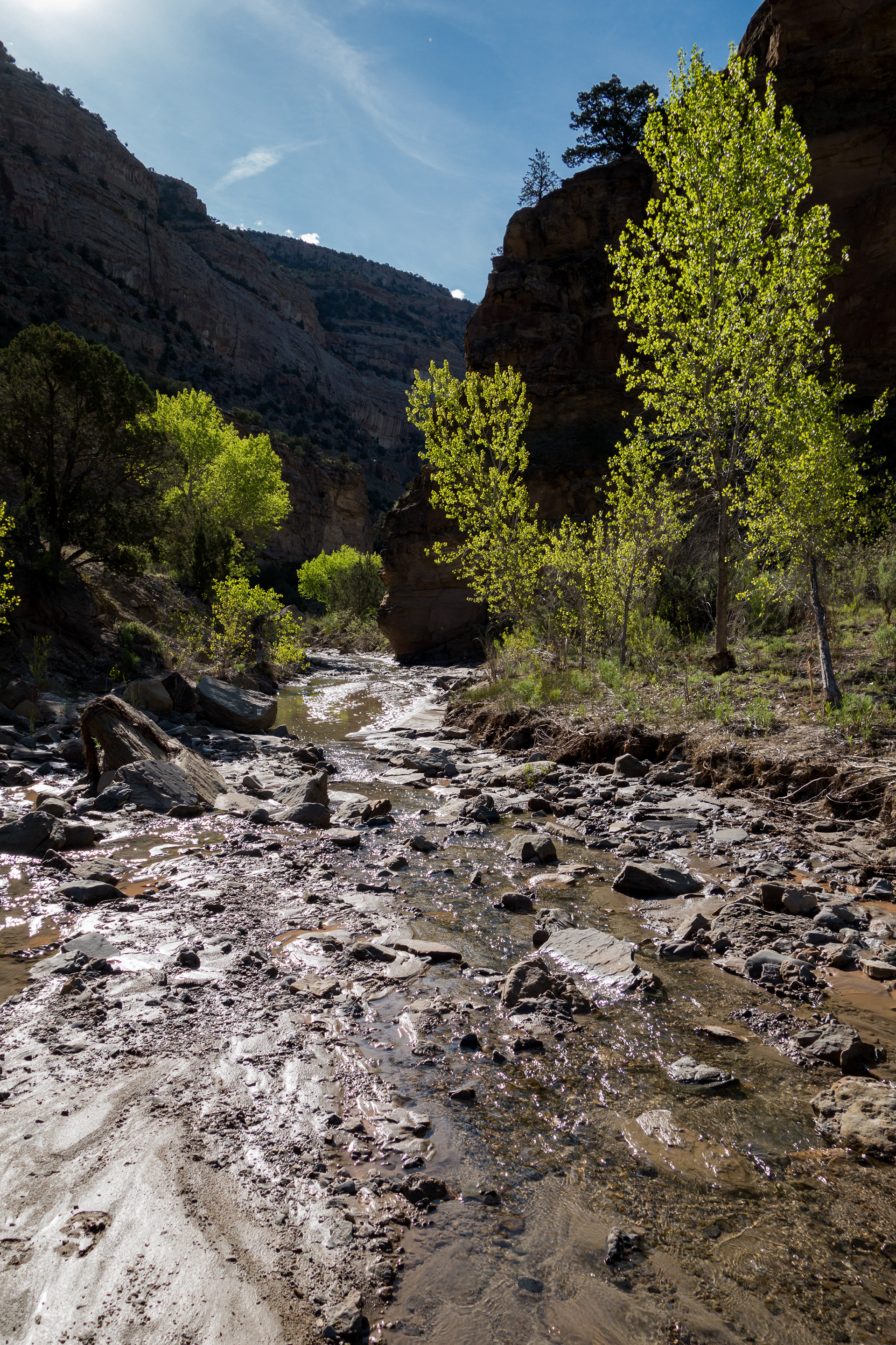
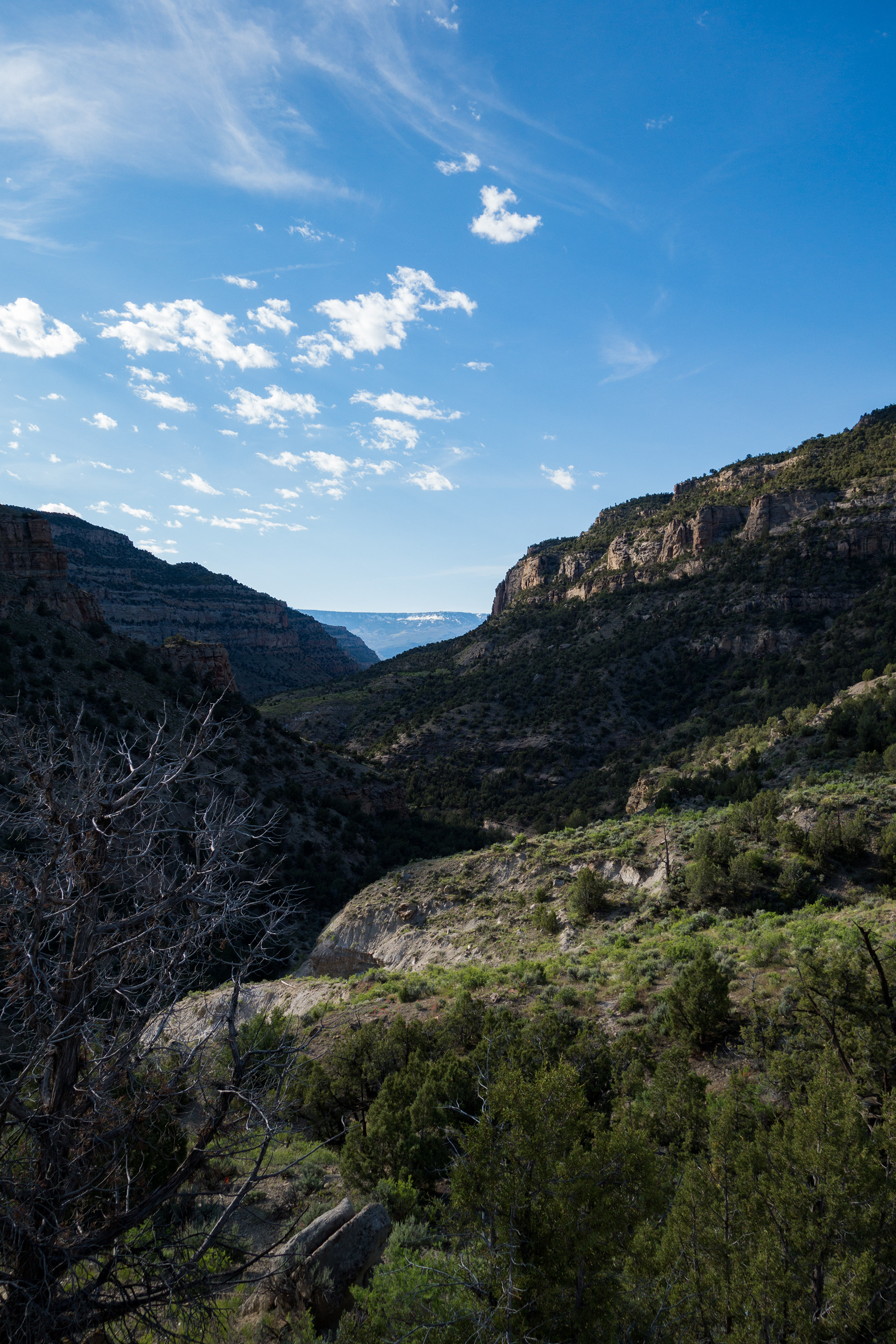
Hiking down Cottonwood Canyon was beautiful and doing so in the early morning light (aka, not hot) made it extra rewarding.
We encountered a stallion and a mare in Main Canyon before hiking back to the trailhead to complete this interesting 21-mile hike.