Date: September 13 & 14, 2013
Location: Sawtooth Wilderness, Idaho
Distance: 30 miles
Elevation Change: 5,000 feet up and 5,000 feet back down.
Group: Steve and Mat
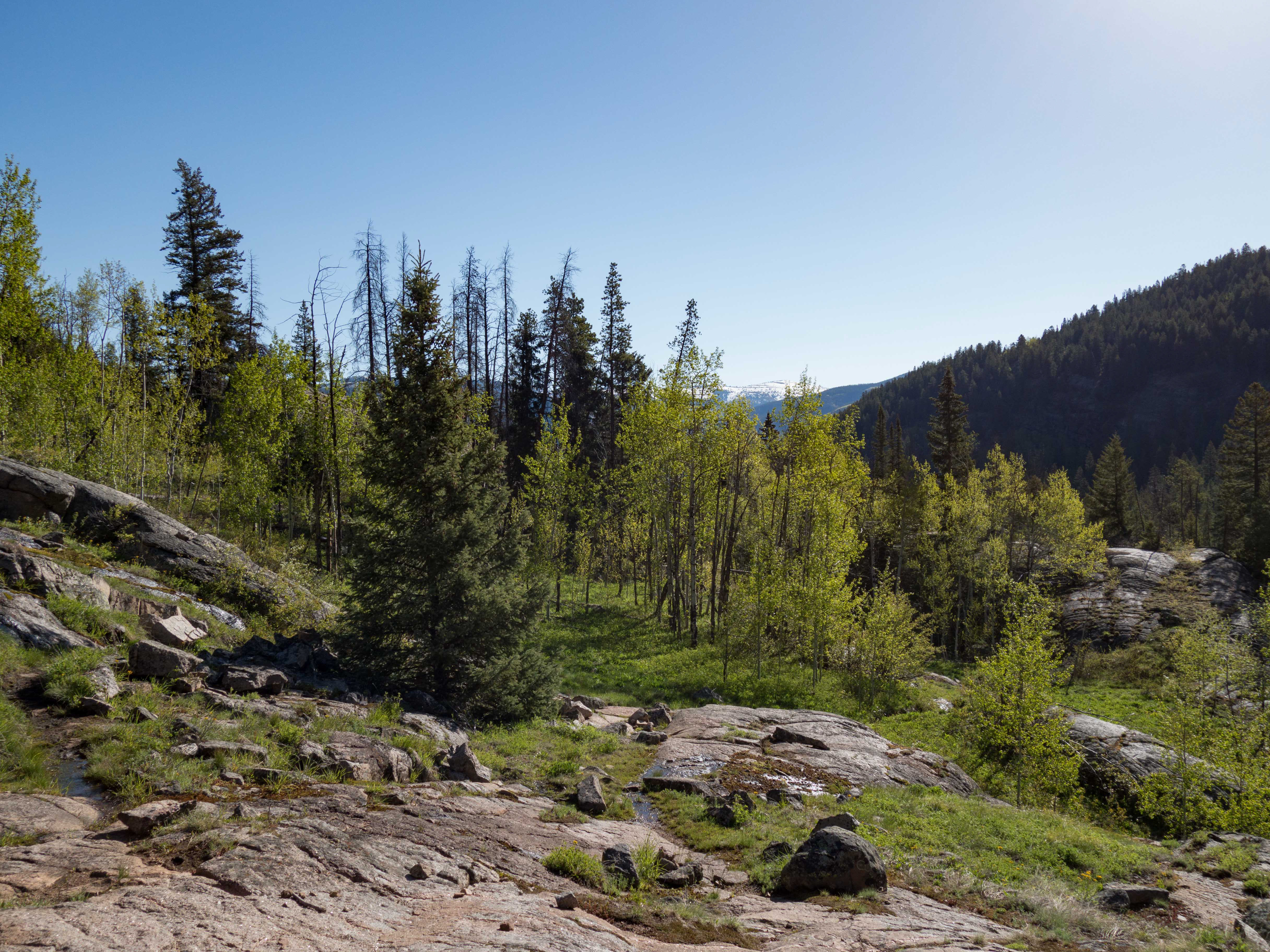
The Sawtooth Mountains have always beckoned to me with their rugged peaks and beautiful lakes. Steve and I left Boise at about 6AM on September 13 and drove to the Tin Cup trail head next to Pettit Lake. From there we hiked past McDonald Lake and Yellow Belly Lake.
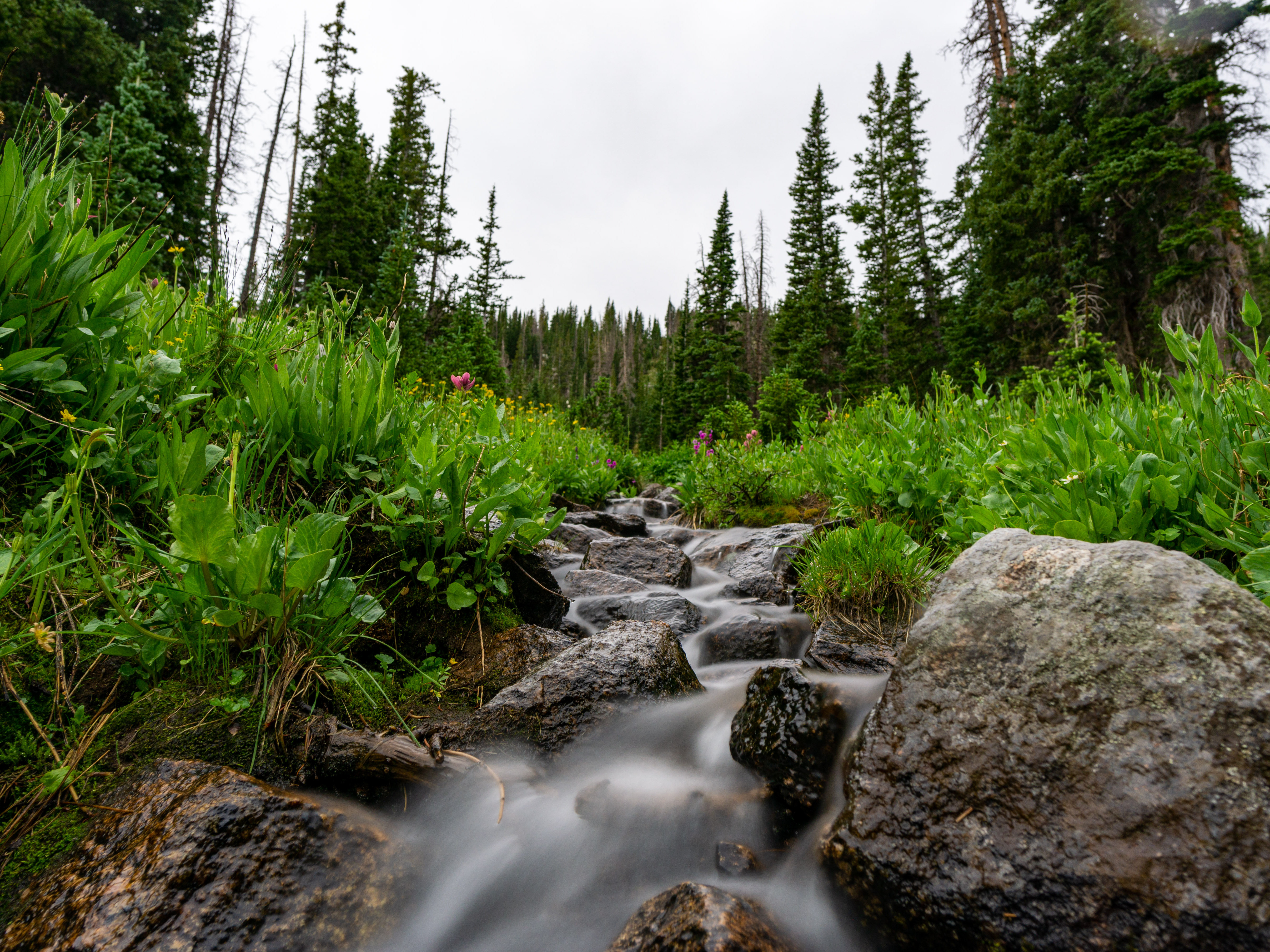
After McDonald Lake we made our way over to the Hell Roaring Lake trailhead. The hike from there to Hell Roaring Lake was easy (the path to hell always is….).

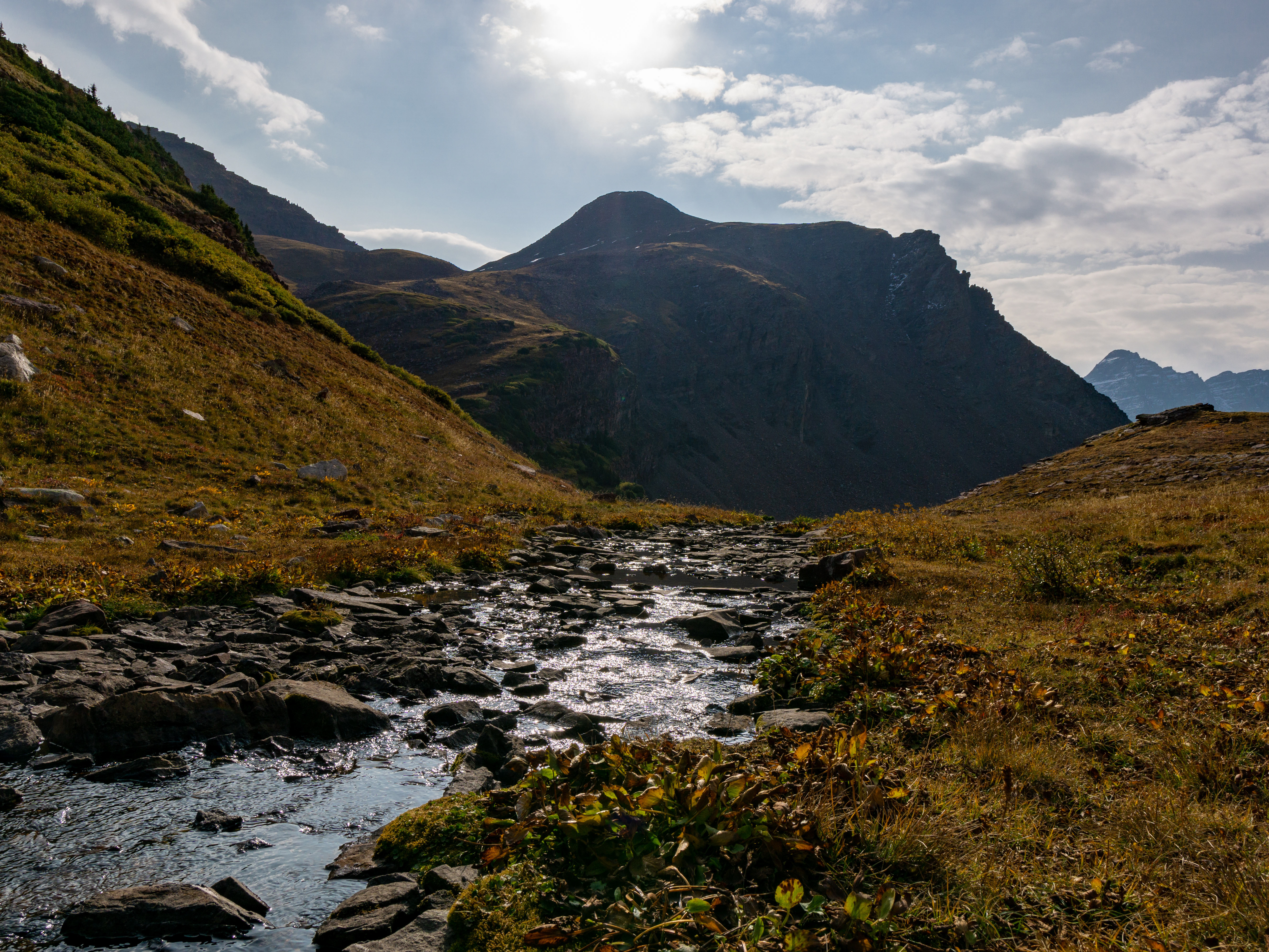
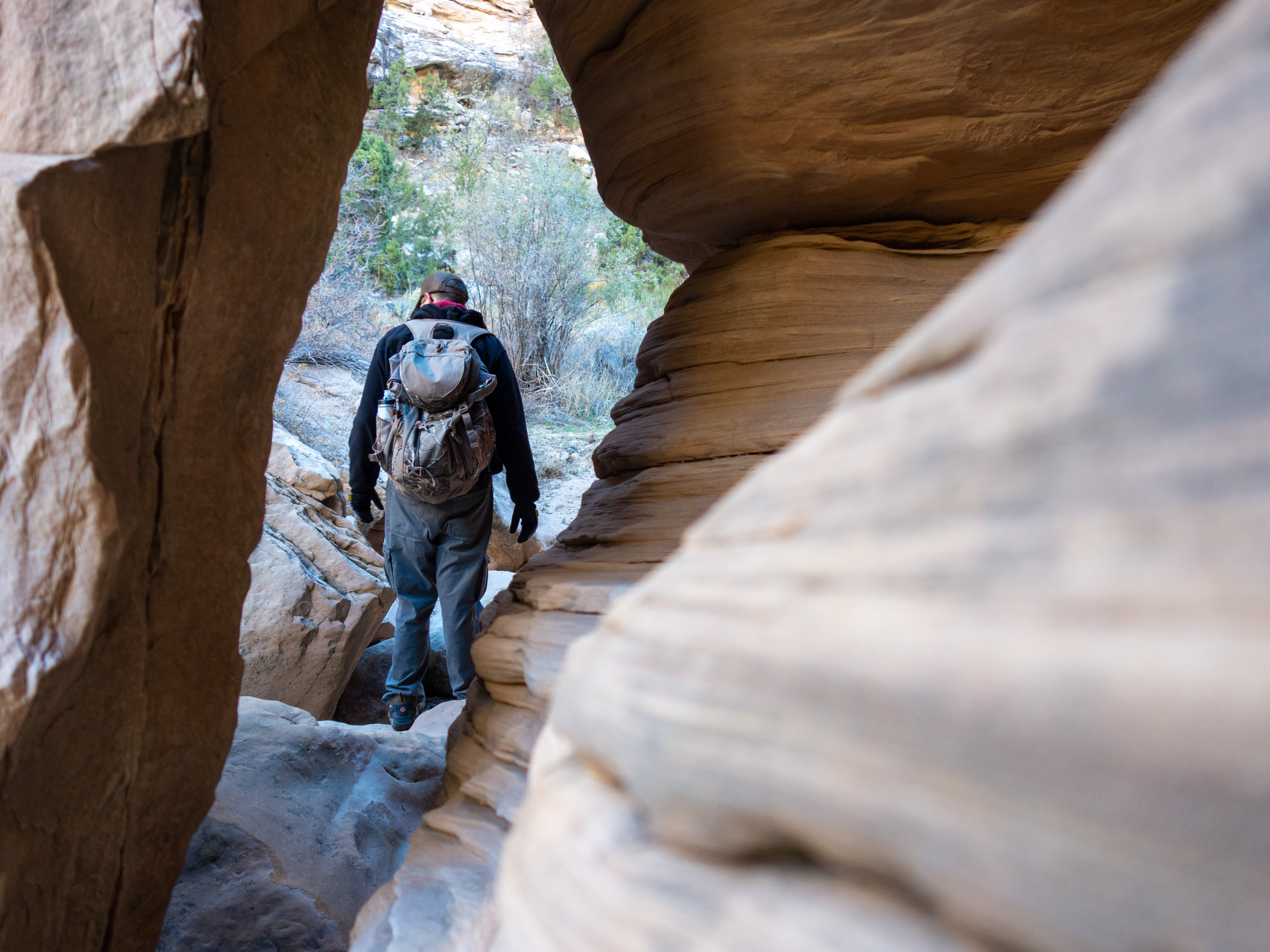
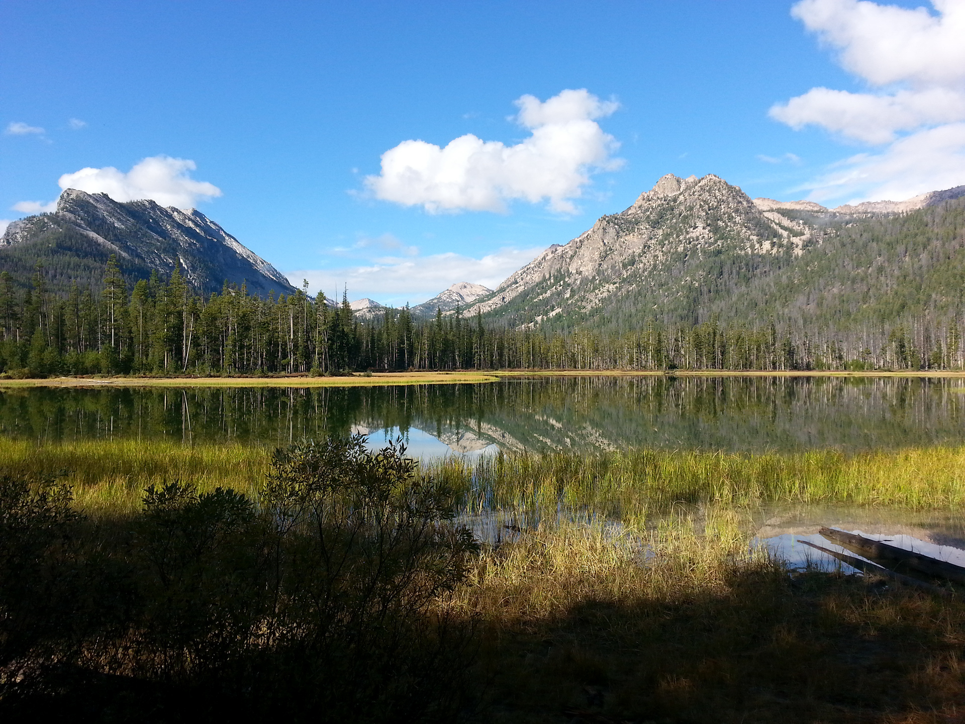
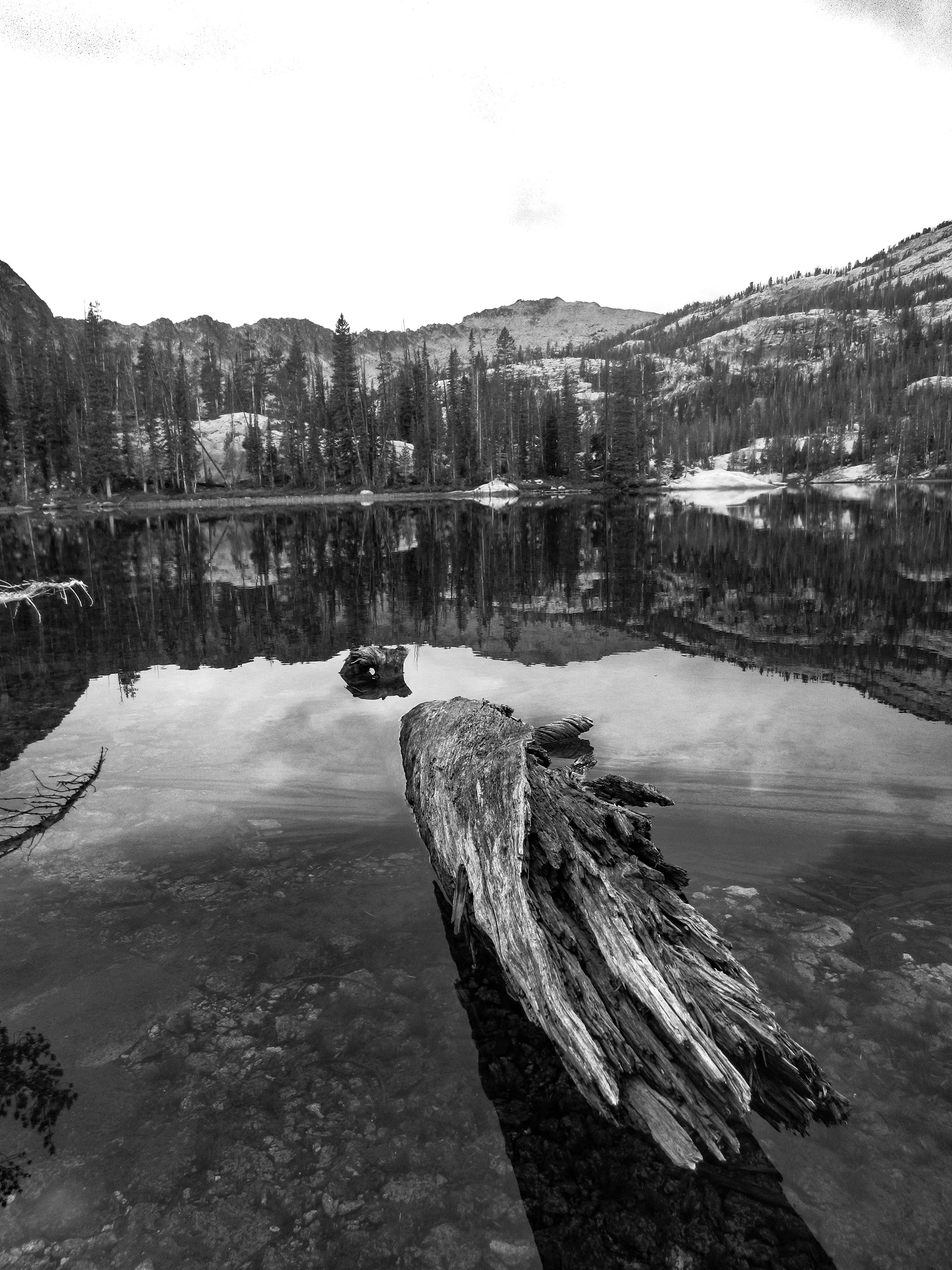
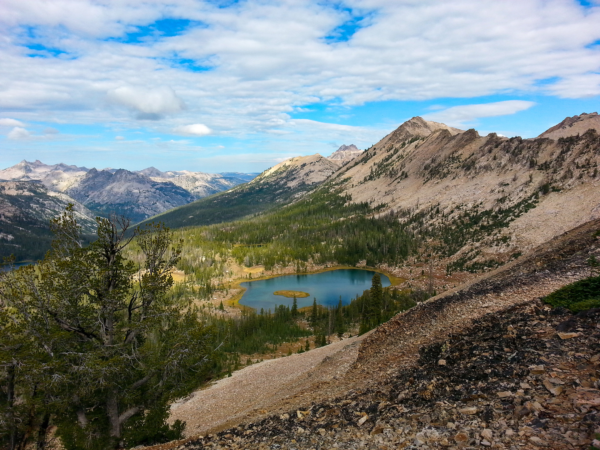
Hell Roaring Lake is very scenic with The Finger of Fate (sweet name for a rock formation) in the background.
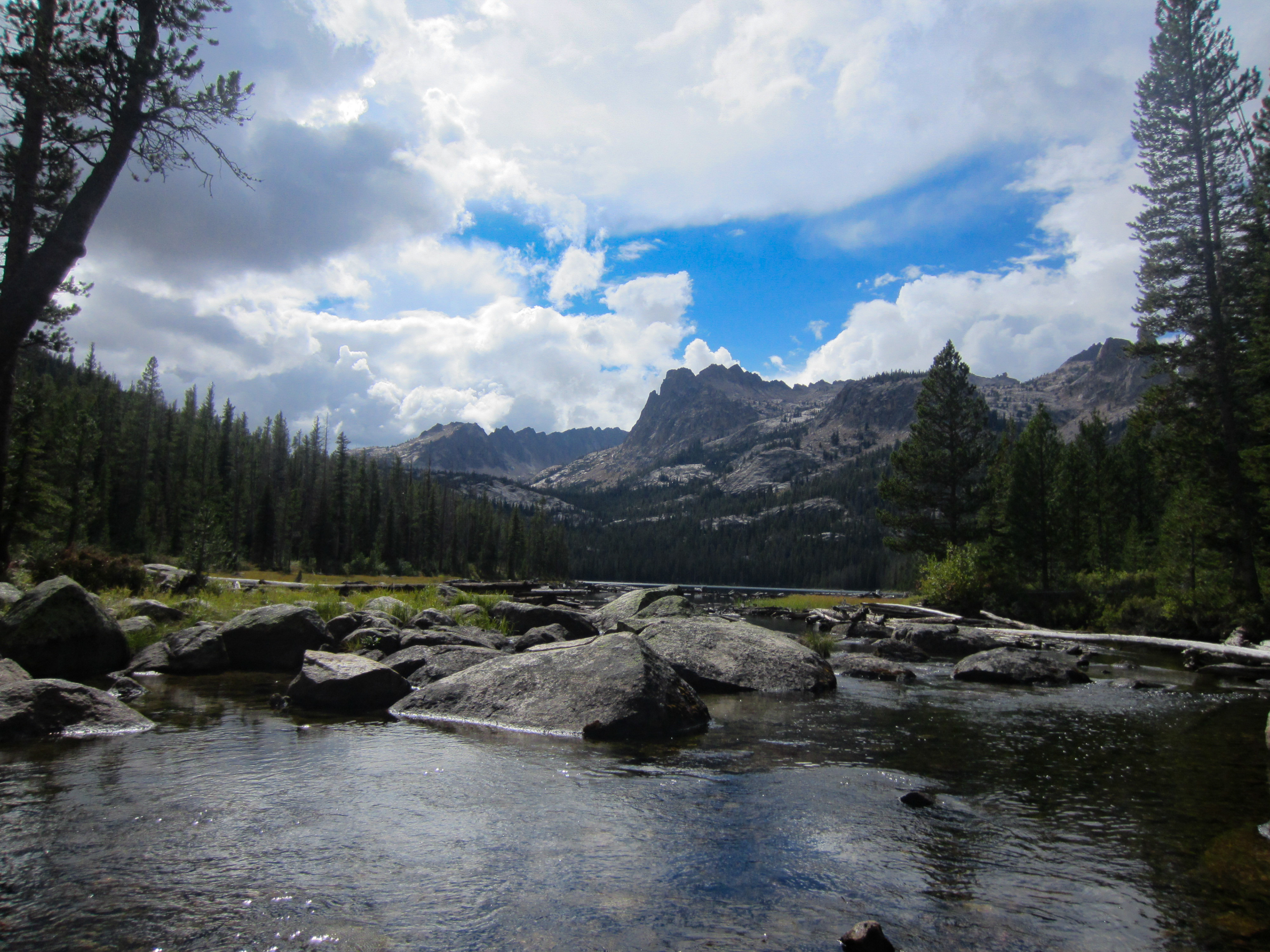
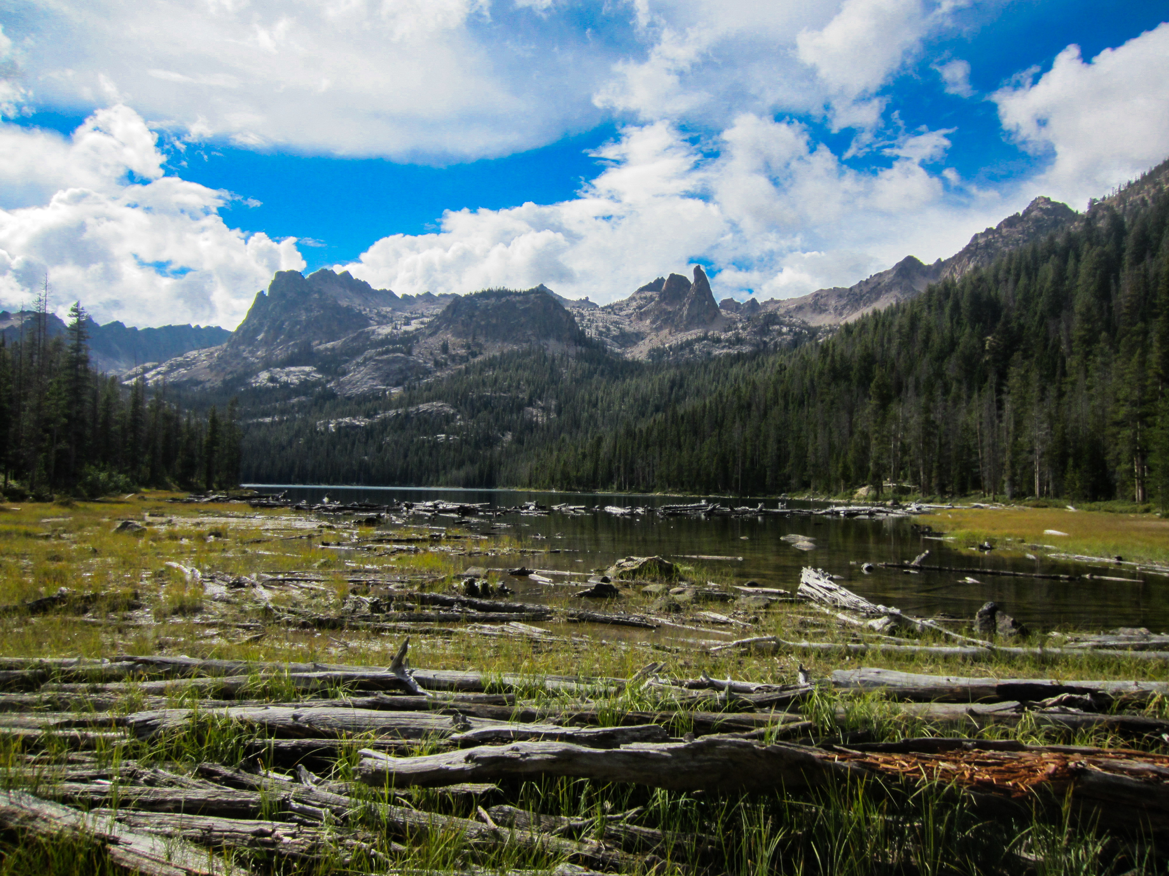
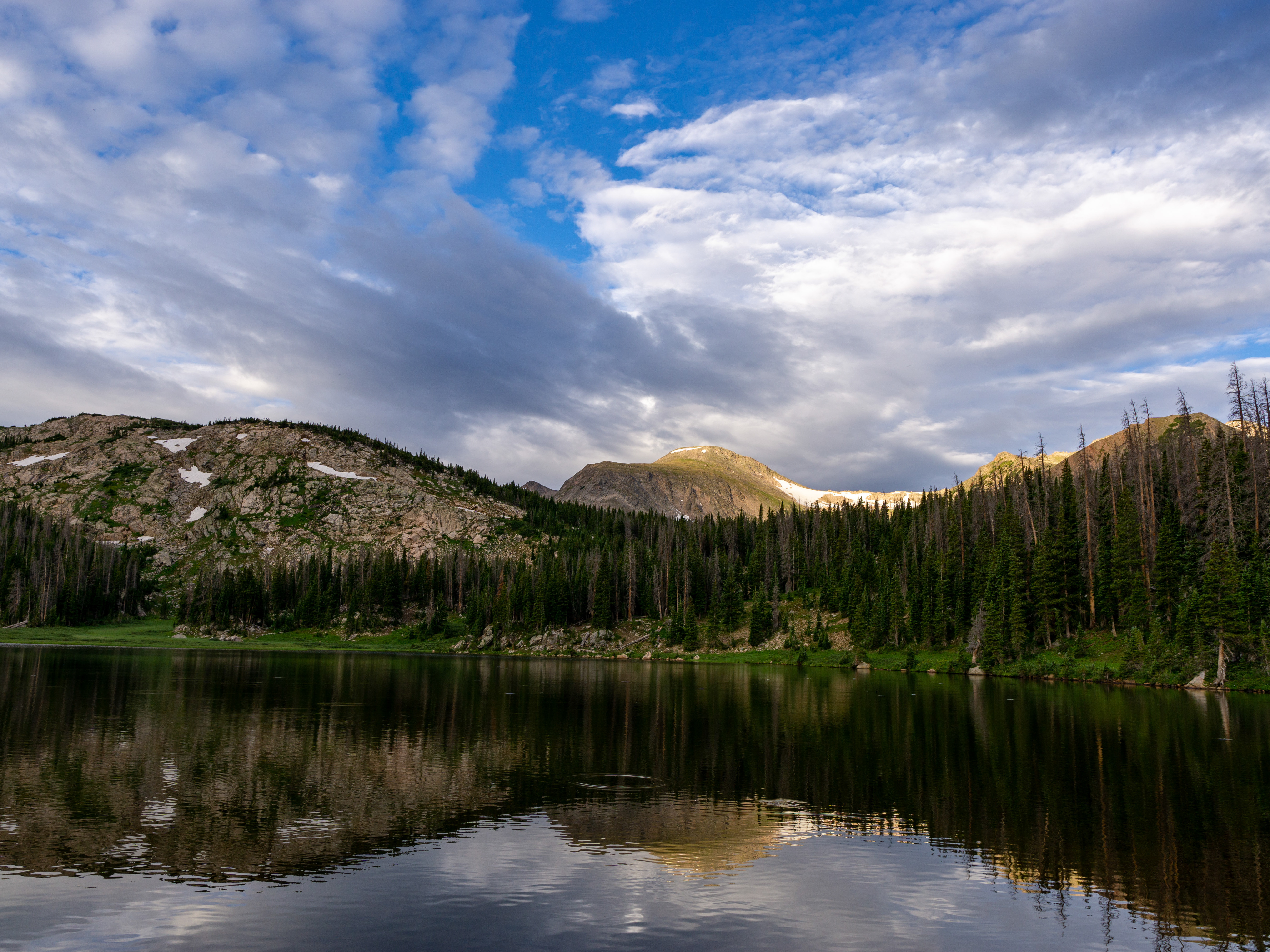
From Hell Roaring Lake, we climbed about 1,000 feet to Imogene Lake. This portion of the trail was a little steeper, but is still pretty easy. Imogene is a big lake. We hit the northern tip of the lake at about 13 miles in. From the Tin Cup trail head to our camping spot at Imogene was just over 14 miles.
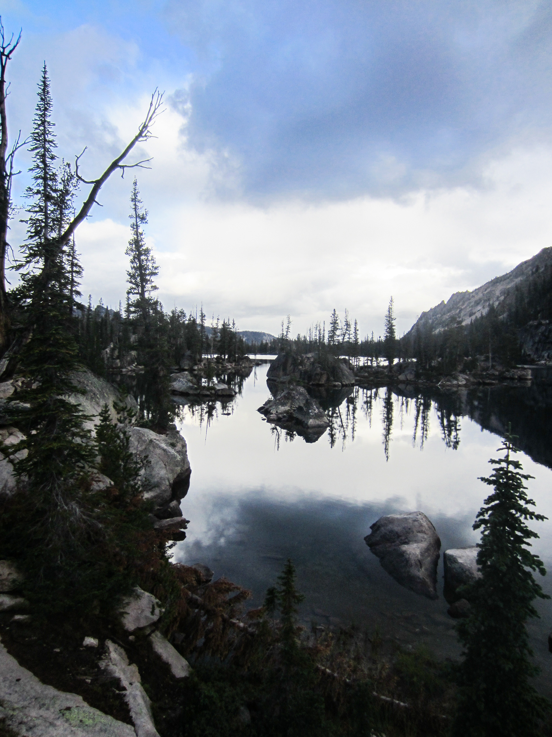
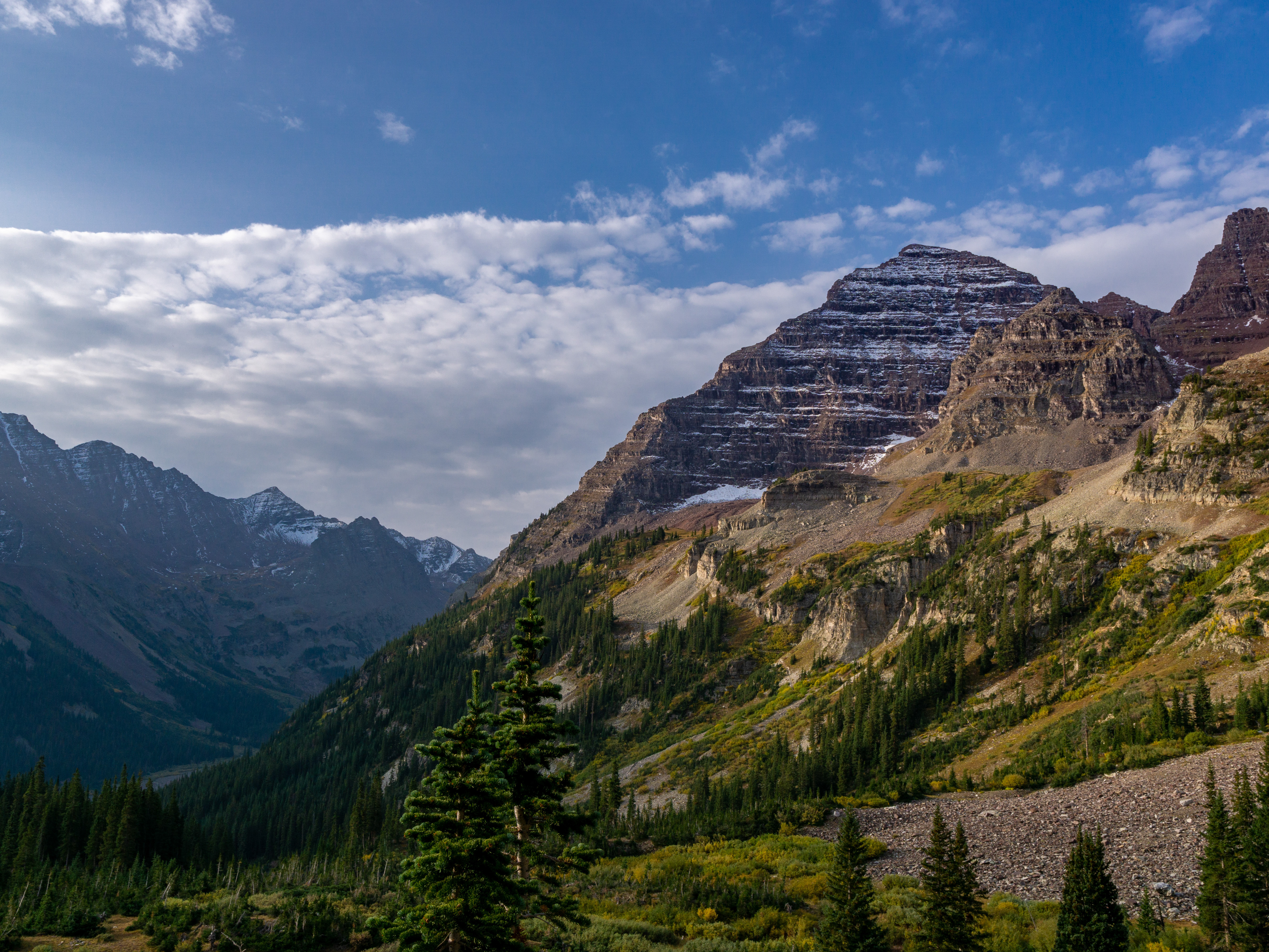
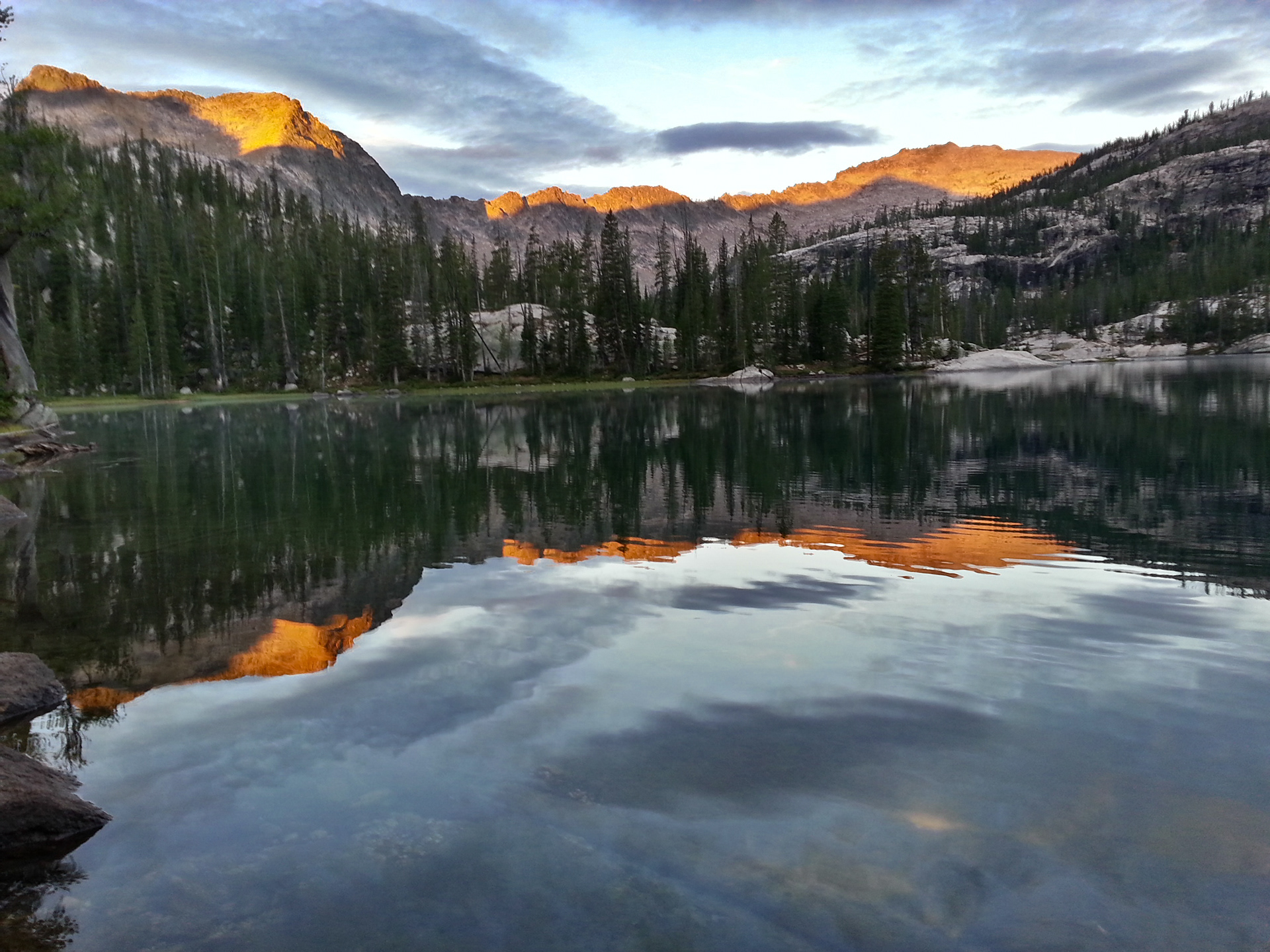
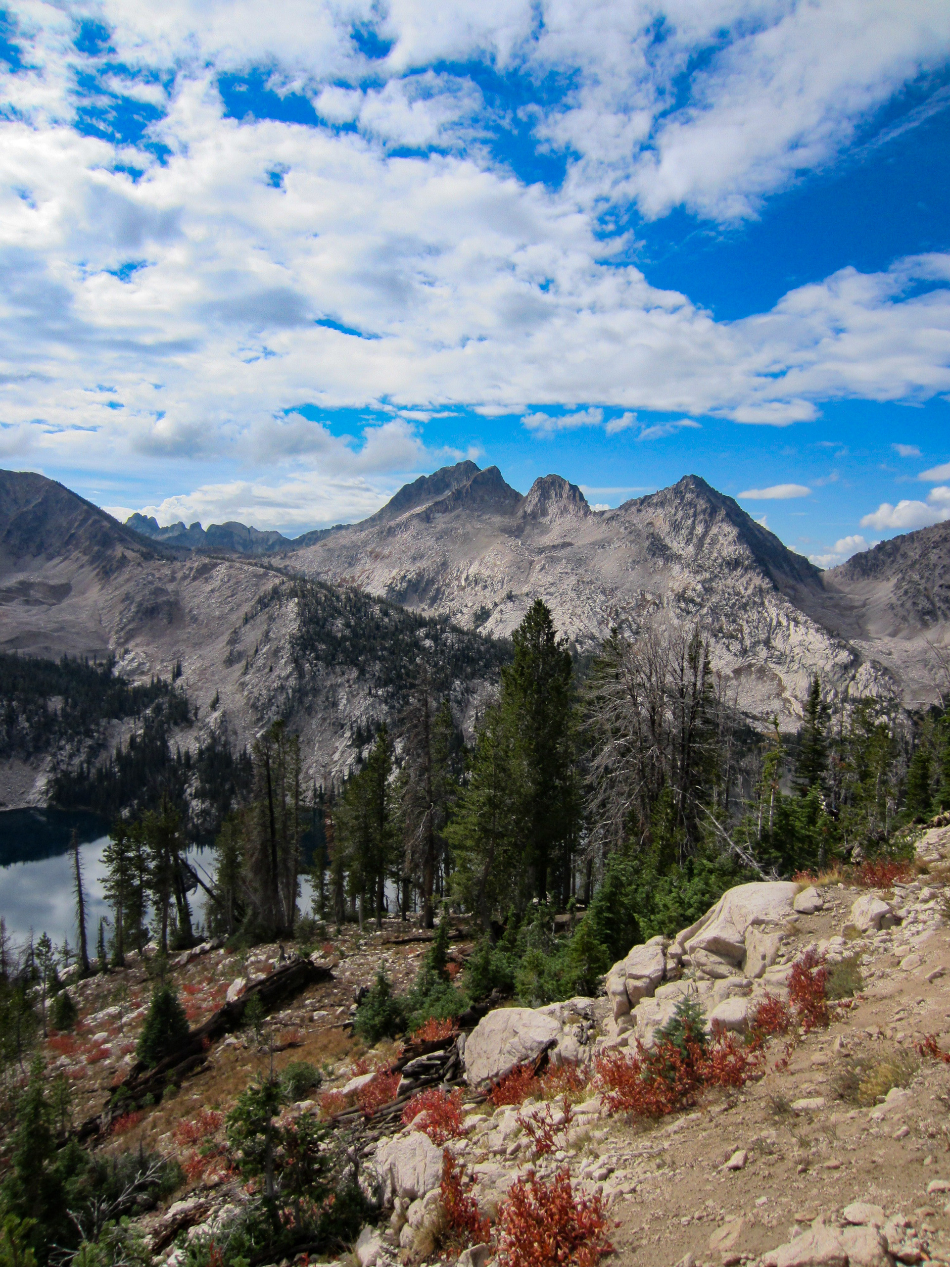
We spent the night at Imogene. It rained some during the night, but just enough to be pleasant. We had a leisurely breakfast and enjoyed seeing the sun hit the peak for just a couple of minutes before the rain clouds blocked the sun.
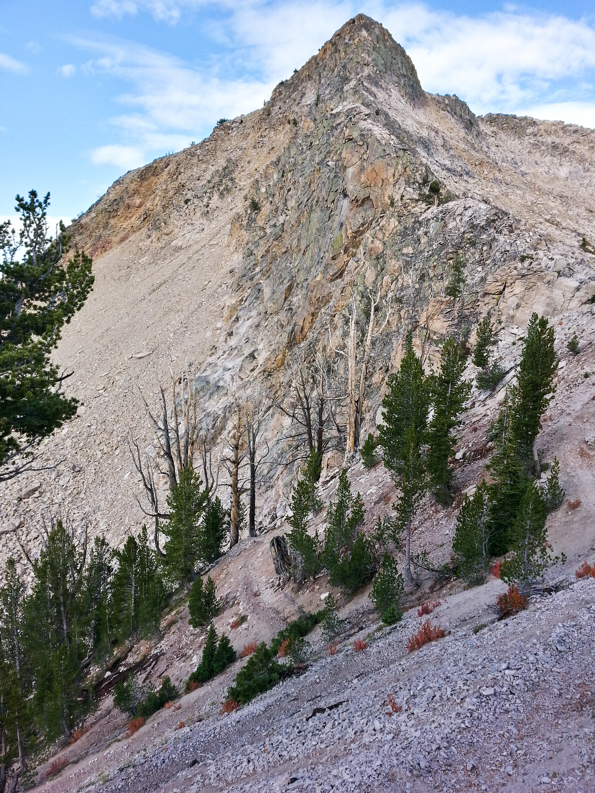
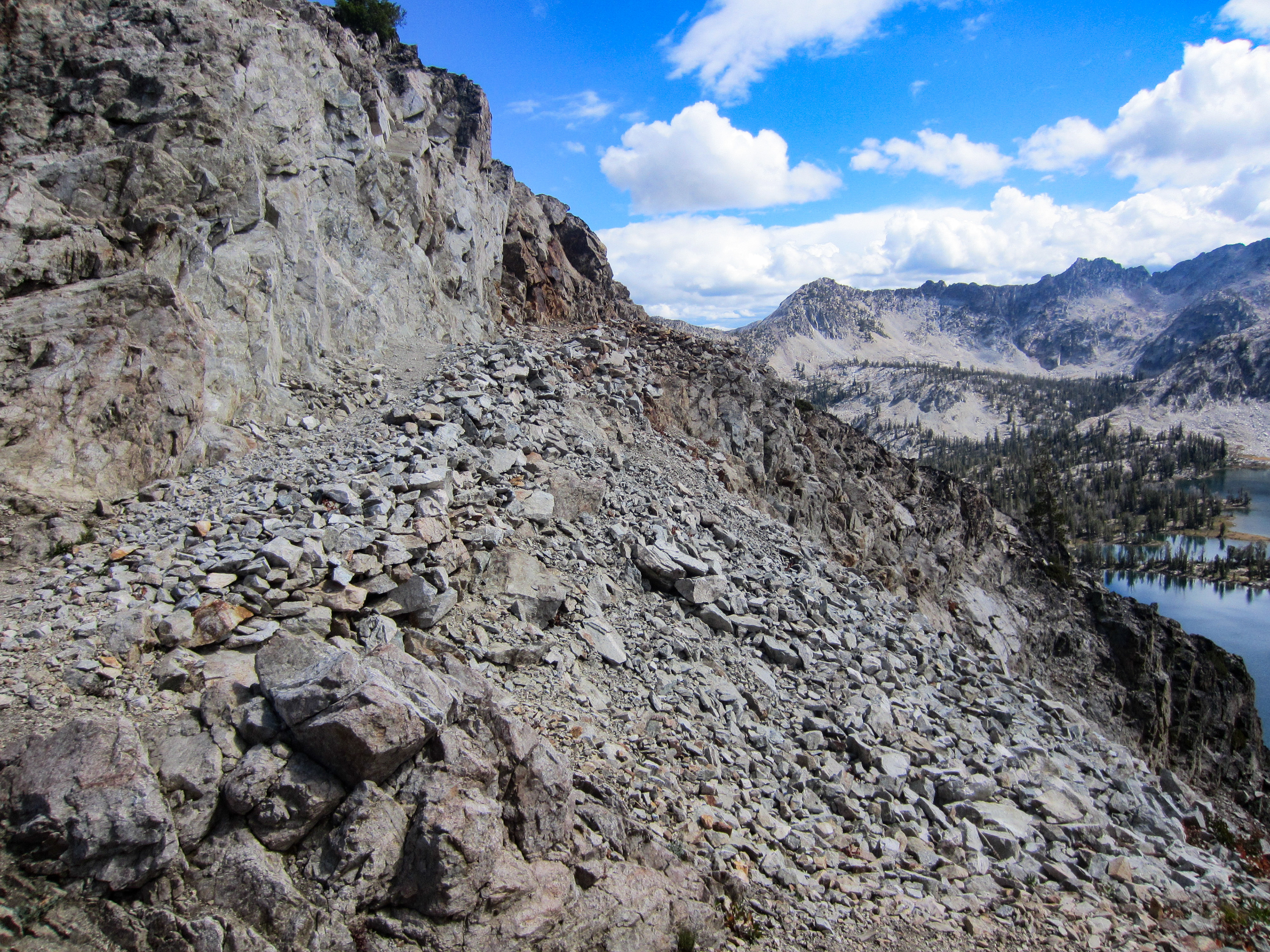
Saturday morning turned out to be a big day. We were originally going to complete the loop over the course of 3 days. Somewhere along the way, we decided to finish it off in 2 days instead. The first obstacle of the day was the pass between Imogene Lake and the basin where Edith Lake is located. This involved a climb of about of about 900 feet up a series of switchbacks.


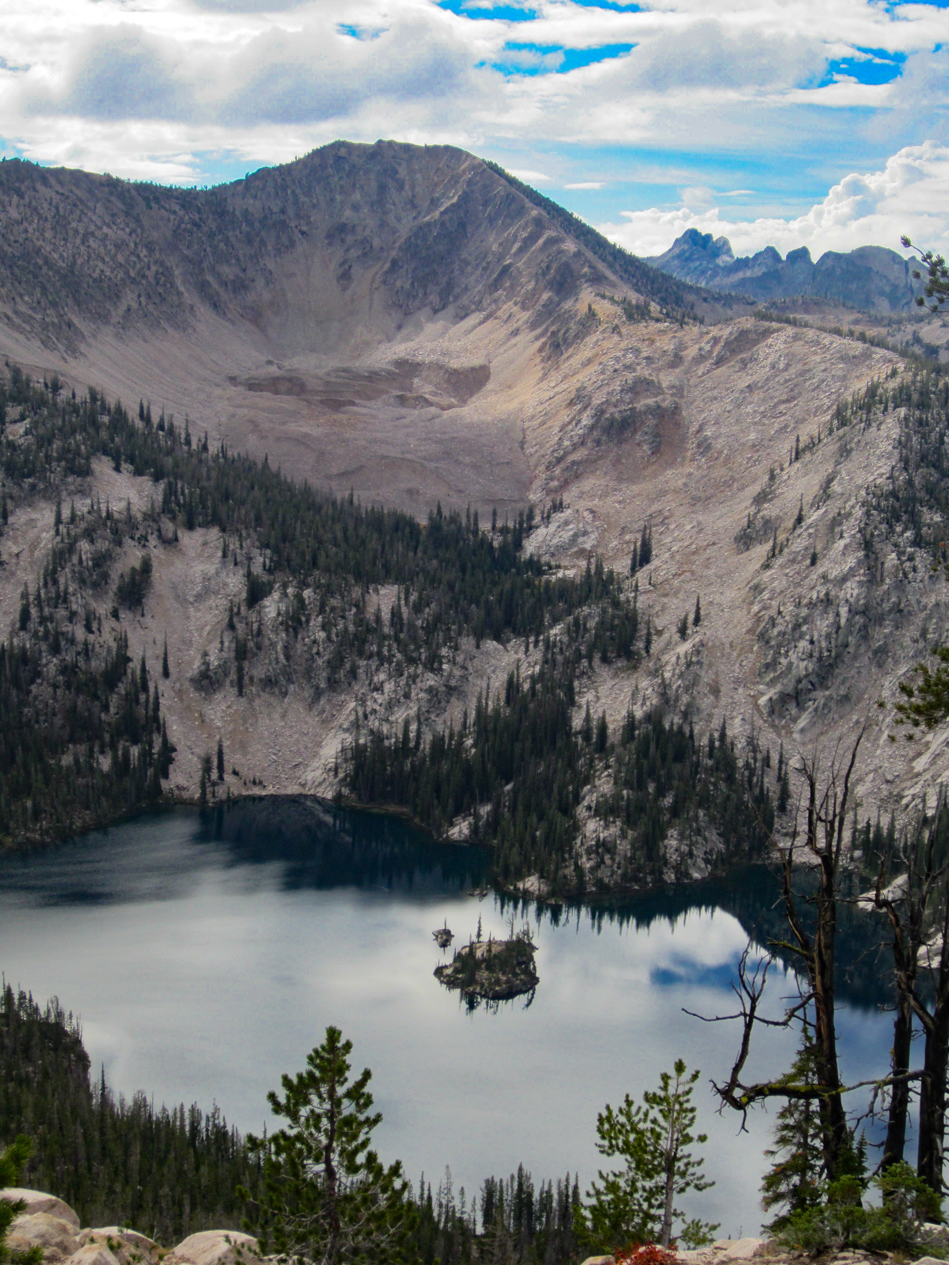
Looking back at Imogene Lake
We then dropped about 300 or 400 feet down some switch backs to a fork in the trail and then climbed back up another pass to an elevation of about 9,400 feet.
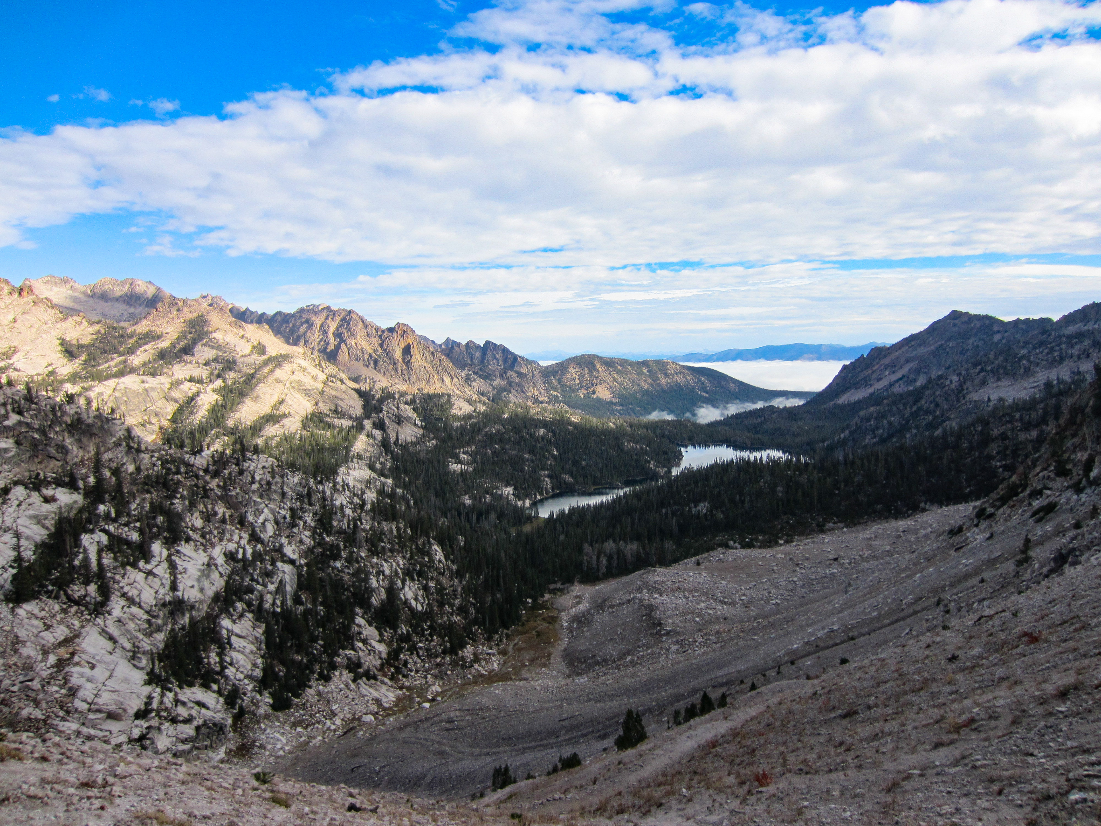
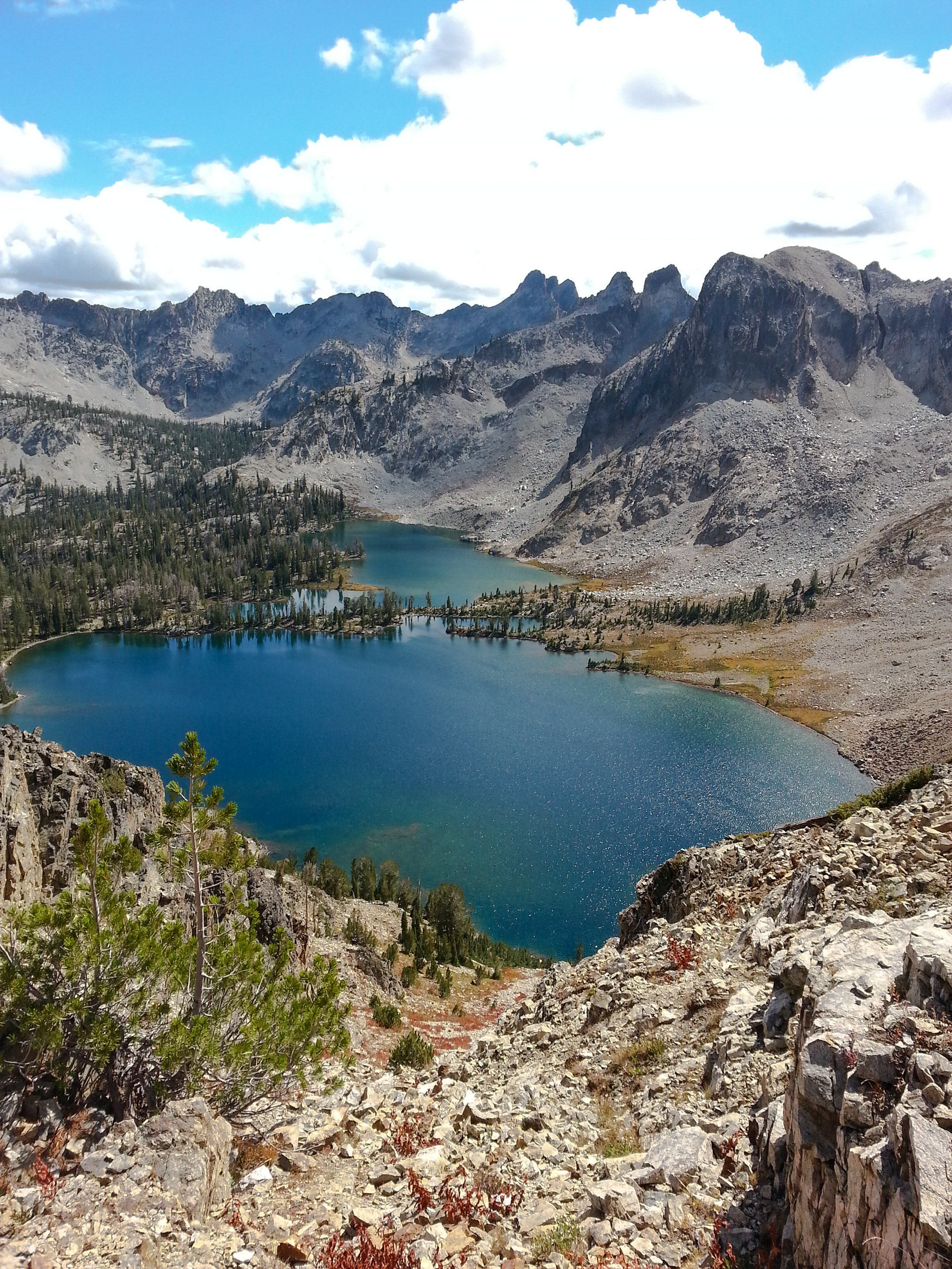
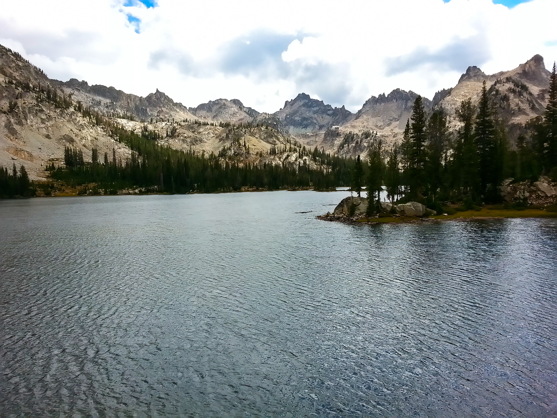
We hiked along the pass for a bit and then could see Toxaway Lake 1,000 feet below us. In the distance, you can see the next pass, 1,000 feet above Toxaway Lake.
We ate lunch at Toxaway and tended to a few blisters and some sore feet. The hike up over the pass between Toxaway and Twin Lakes was a decent climb. The view from the pass looking down at Twin Lakes (about 600 feet below) was great.
From Twin Lakes it was just a brief hike to Alice Lake. We stocked up on water and headed down the trail the last 6 or 7 miles to the car.
The path from Alice to the trail head was a bit of the slog. We were pretty tired and it was a bit rough in a few places.

We reached the trailhead about 6PM, having completed almost 17 miles that day with a lot of ups and downs. This is a beautiful area and a fantastic two or three day loop.